CoastalWx
-
Posts
177,040 -
Joined
-
Last visited
Content Type
Profiles
Blogs
Forums
American Weather
Media Demo
Store
Gallery
Everything posted by CoastalWx
-
OBS/DISCO - The Historic James Blizzard of 2022
CoastalWx replied to TalcottWx's topic in New England
Yep. We skeptical. -
OBS/DISCO - The Historic James Blizzard of 2022
CoastalWx replied to TalcottWx's topic in New England
I think 26-28. Blue hills had 2’ and they were west of the best stuff. -
OBS/DISCO - The Historic James Blizzard of 2022
CoastalWx replied to TalcottWx's topic in New England
That seems high. They were just outside of the band. -
OBS/DISCO - The Historic James Blizzard of 2022
CoastalWx replied to TalcottWx's topic in New England
Yeah maybe we can scrap another inch. Some stuff reinvigorated. -
OBS/DISCO - The Historic James Blizzard of 2022
CoastalWx replied to TalcottWx's topic in New England
Light snow again. -
OBS/DISCO - The Historic James Blizzard of 2022
CoastalWx replied to TalcottWx's topic in New England
I think it will, maybe someone gets half inch? -
OBS/DISCO - The Historic James Blizzard of 2022
CoastalWx replied to TalcottWx's topic in New England
Yeah by 00z I started to think it could happen. Still was unsure of 25-30+ but that band lasted for hours. I’m sure if there was no wind it would be 3’ -
OBS/DISCO - The Historic James Blizzard of 2022
CoastalWx replied to TalcottWx's topic in New England
23.5 -
OBS/DISCO - The Historic James Blizzard of 2022
CoastalWx replied to TalcottWx's topic in New England
Good thoughts on 3’, might be another area Plymouth county of 30+ to near me. -
OBS/DISCO - The Historic James Blizzard of 2022
CoastalWx replied to TalcottWx's topic in New England
I was unsure of the 24”+ totals yesterday. Mid level low look was good, but wasn’t sure if we’d get that real stationary band like we saw. I thought maybe the forcing would be more transient and not as intense. Just goes to show you look out when they look good. -
OBS/DISCO - The Historic James Blizzard of 2022
CoastalWx replied to TalcottWx's topic in New England
You can’t get that precise to the nearest hundredth. That’s all I mean. I wasn’t making fun of snow amounts. -
OBS/DISCO - The Historic James Blizzard of 2022
CoastalWx replied to TalcottWx's topic in New England
8.77”? Are you measuring rain? -
OBS/DISCO - The Historic James Blizzard of 2022
CoastalWx replied to TalcottWx's topic in New England
23.5” Logan. -
OBS/DISCO - The Historic James Blizzard of 2022
CoastalWx replied to TalcottWx's topic in New England
Probably yeah. -
OBS/DISCO - The Historic James Blizzard of 2022
CoastalWx replied to TalcottWx's topic in New England
Wonder if that band meanders east. Probably will just weaken gradually. -
OBS/DISCO - The Historic James Blizzard of 2022
CoastalWx replied to TalcottWx's topic in New England
Nice @TauntonBlizzard2013 No more mehing. -
OBS/DISCO - The Historic James Blizzard of 2022
CoastalWx replied to TalcottWx's topic in New England
-
OBS/DISCO - The Historic James Blizzard of 2022
CoastalWx replied to TalcottWx's topic in New England
That’s awesome Brett. 30” ftw. -
OBS/DISCO - The Historic James Blizzard of 2022
CoastalWx replied to TalcottWx's topic in New England
Right now 26-28. Still snowing. -
OBS/DISCO - The Historic James Blizzard of 2022
CoastalWx replied to TalcottWx's topic in New England
That’s a nice band Will. -
OBS/DISCO - The Historic James Blizzard of 2022
CoastalWx replied to TalcottWx's topic in New England
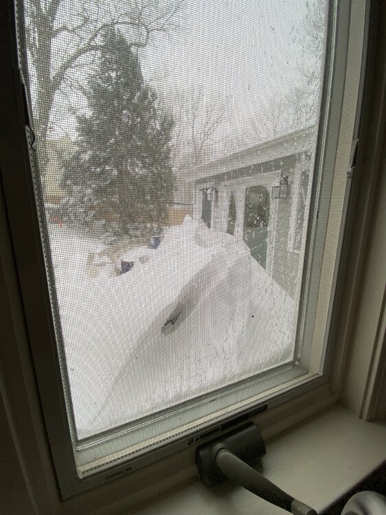
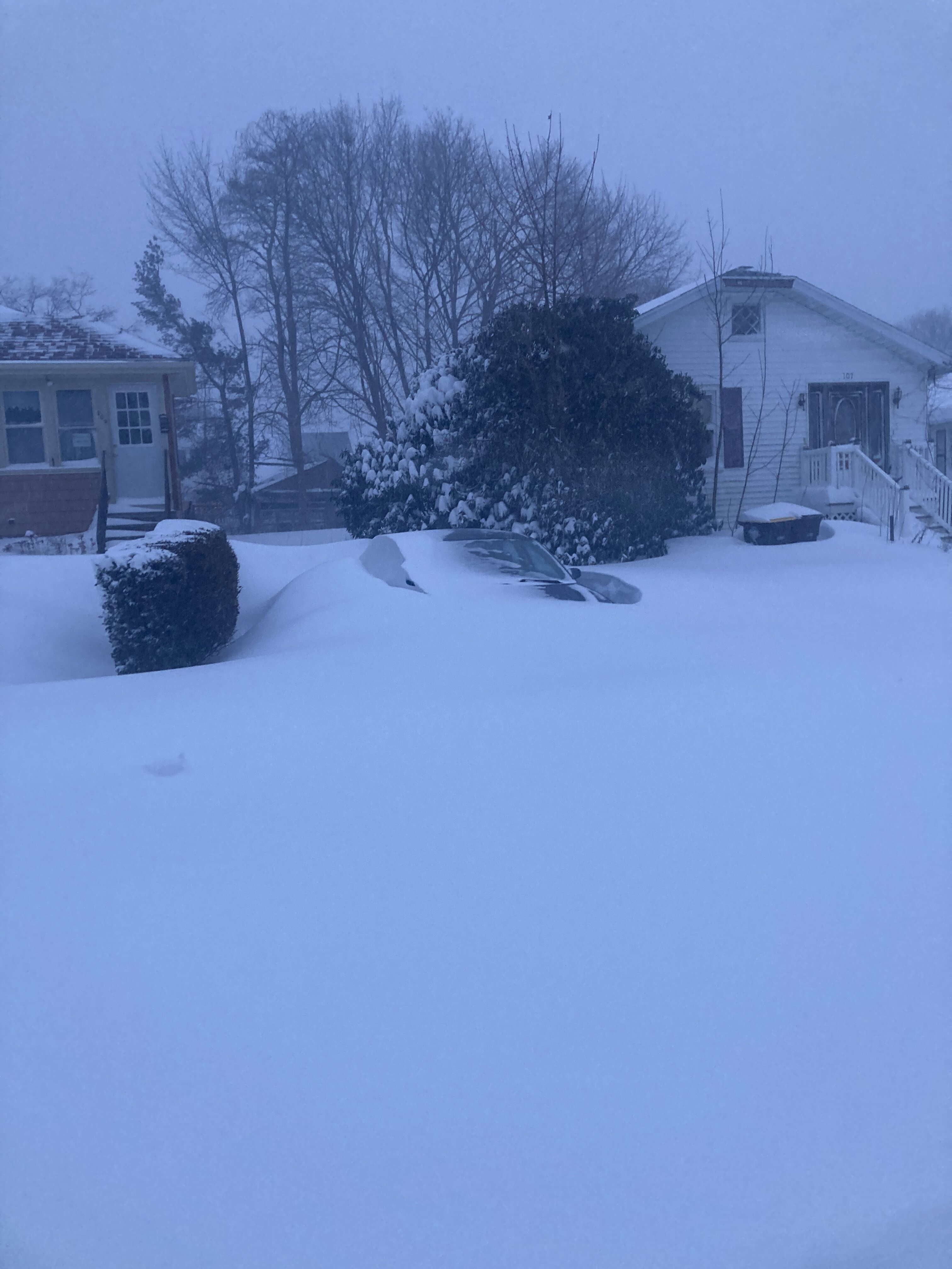
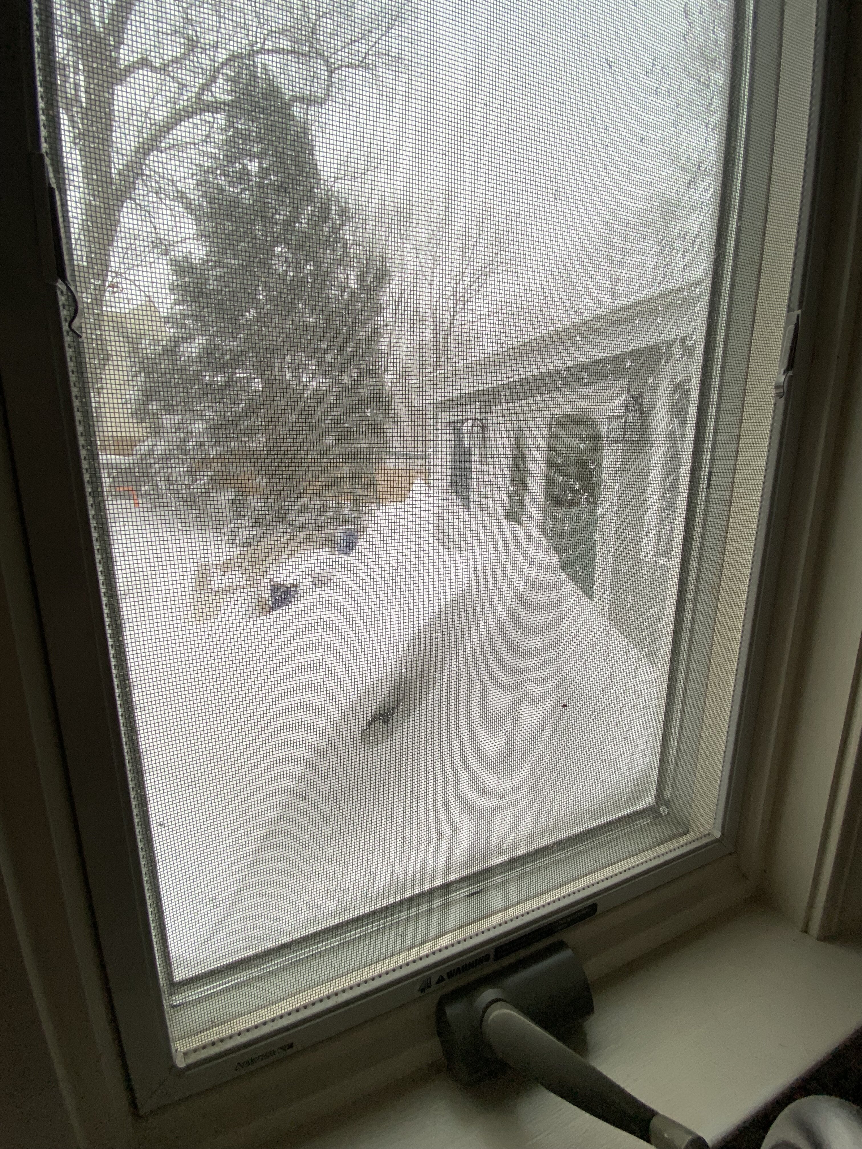
We are buried.
-
OBS/DISCO - The Historic James Blizzard of 2022
CoastalWx replied to TalcottWx's topic in New England
I swear heaviest yet -
OBS/DISCO - The Historic James Blizzard of 2022
CoastalWx replied to TalcottWx's topic in New England
The 17.6 Logan is not official. That won’t update until 7pm. -
OBS/DISCO - The Historic James Blizzard of 2022
CoastalWx replied to TalcottWx's topic in New England
Logan may not beat all time due to wind and it took a little while to get into band -
OBS/DISCO - The Historic James Blizzard of 2022
CoastalWx replied to TalcottWx's topic in New England