CoastalWx
-
Posts
177,418 -
Joined
-
Last visited
Content Type
Profiles
Blogs
Forums
American Weather
Media Demo
Store
Gallery
Everything posted by CoastalWx
-
It’s definitely melting a bit in full sun and sloped areas but it’s tenacious. Needs to refresher though.
-
Even got porked here for white Christmas when I think the cape had one.
-
Bingo. Not sure why this is hard to grasp for some.
-
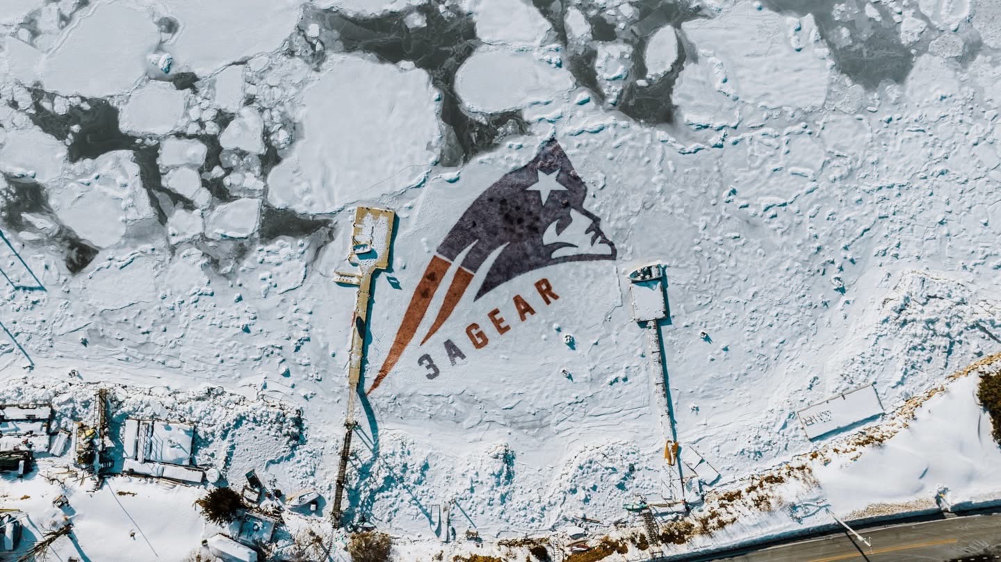
Store that sponsored it. 8 guys did it. Rt 3a goes through NWey.
-
Nope
-
Pretty cool off the beach in Weymouth. Go Pats!

-
Friday February 6 FROPA / WINDEX small event
CoastalWx replied to HoarfrostHubb's topic in New England
A little wild -
Friday February 6 FROPA / WINDEX small event
CoastalWx replied to HoarfrostHubb's topic in New England
Jesus close here. Lets back that up a tad. -
Friday February 6 FROPA / WINDEX small event
CoastalWx replied to HoarfrostHubb's topic in New England
Reggie smashing cape Ann. -
lol I know.
-
Friday February 6 FROPA / WINDEX small event
CoastalWx replied to HoarfrostHubb's topic in New England
Yeah whatever we get blows into the Atlantic Saturday night lol. -
Friday February 6 FROPA / WINDEX small event
CoastalWx replied to HoarfrostHubb's topic in New England
It’s probably 1-2” outside of any localized band. Maybe a 3 spot. -
Friday February 6 FROPA / WINDEX small event
CoastalWx replied to HoarfrostHubb's topic in New England
I agree. You get models with Near a half inch or more of QPF and that’s a warning for sure. Maybe even only .4” given the soundings. -
Friday February 6 FROPA / WINDEX small event
CoastalWx replied to HoarfrostHubb's topic in New England
Might be a coating to an inch tomorrow too along north and south shores. -
Friday February 6 FROPA / WINDEX small event
CoastalWx replied to HoarfrostHubb's topic in New England
Yeah we hope for that. -
Regret is probably not the best wording. Sort of takes away from the winter you could say. Again just talking that period.
-
Friday February 6 FROPA / WINDEX small event
CoastalWx replied to HoarfrostHubb's topic in New England
Might be two features. One south of LI poking into SE CT and another off the MA coast. But models continue to differ how these are handled. I’m not surprised considering the setup. It’s honestly probably a nowcast. But overall general C-2” outside of any narrow trough bands. -
I know lol.
-
Not really. With the cold and other areas taking advantage of it, left a little to be desired. But it needs to continue otherwise it’s forgettable.
-
My one regret this winter is not having a better December into MLK weekend. I know it was better at a rest stop off I-84 in CT, but felt like we left some on the table.
-
Thing was locked up in 2015.
-
That’s awesome.
-
Just looked at some buoys. Warmest was 41 well ENE of Rockport. Maybe a whale peed on it. BOS harbor 38.8. Cape cod harbor 32 lol. Upper 30s off Maine. Even the one south of Block Island is 39.
-
Nah tenor of the season. No warmth. Just cold, snow, and no CC.
-
Still think we can squeeze in something before the 15th but it’s tenuous. This comes with the territory of moderation. Hopefully I’m not bitten and brought back into the wolf den again.