allgame830
-
Posts
2,528 -
Joined
-
Last visited
Content Type
Profiles
Blogs
Forums
American Weather
Media Demo
Store
Gallery
Everything posted by allgame830
-
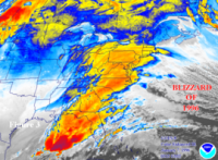
And the line looked pretty meh in western PA and still produced those high wind gusts
-
Agreed. I think the major threat is for widespread wind damage.
-
Well there you go… I think @SnoSki14got this one right!
-
I don’t think there’s hype at all… even when the storms were over western PA they looked pretty much run of the mill but still were producing winds gusts 65-75mph.
-
Beautiful afternoon! 69/56 here. Let’s see what comes of it in a few hours.
-
Clouds also breaking up quickly here. Temp is 64. RH 96% and DWPT 64
-
Most likely a svr t storm watch soon?
-
That whole line in OHIO is severe warned.
-
Oh boy…. A lot of times are biggest svr events come with a slight risk.
-
What do you mean by that? Potential for a greater chance to see some interesting weather later this afternoon/evening?
-
I would assume the quicker we clear out the more destabilization. By the looks of that should be around 1-2pm.
-
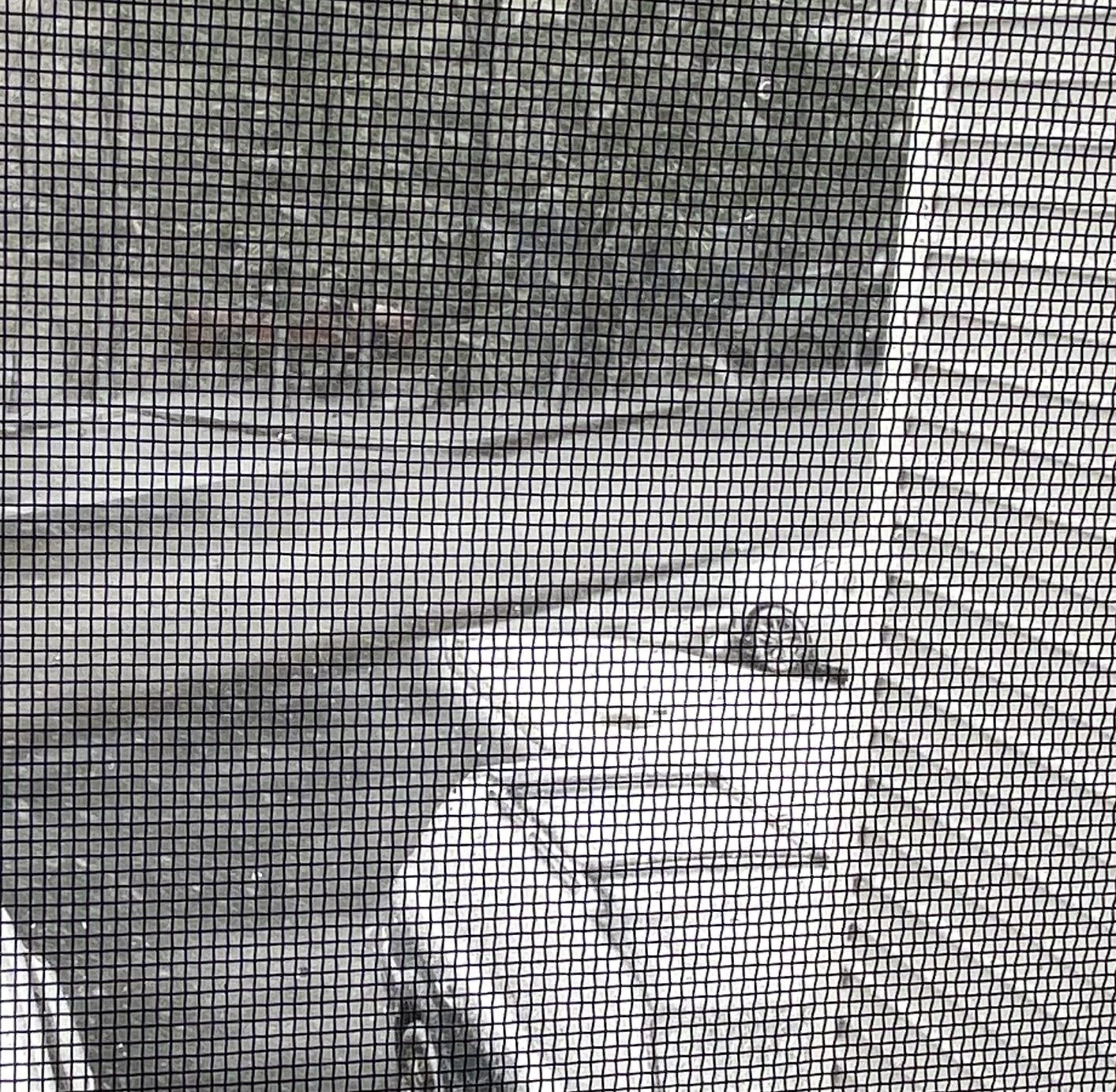
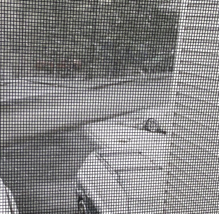
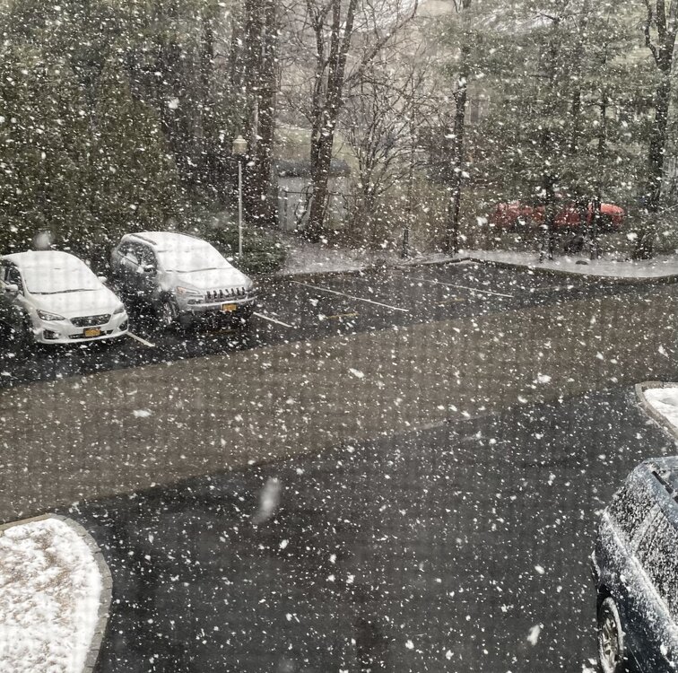
Snowing here again, lightly though but having a much easier time accumulating on the cars and such
-
That’s crazy how sharp the gradient was. 5” total
-
3” on car tops, 4” in grass
-
These are 1-2” bands so nice to see and then lets send this winter off!
-
If that’s the case the ground is already white here so 3-6” here is a decent possibility
-
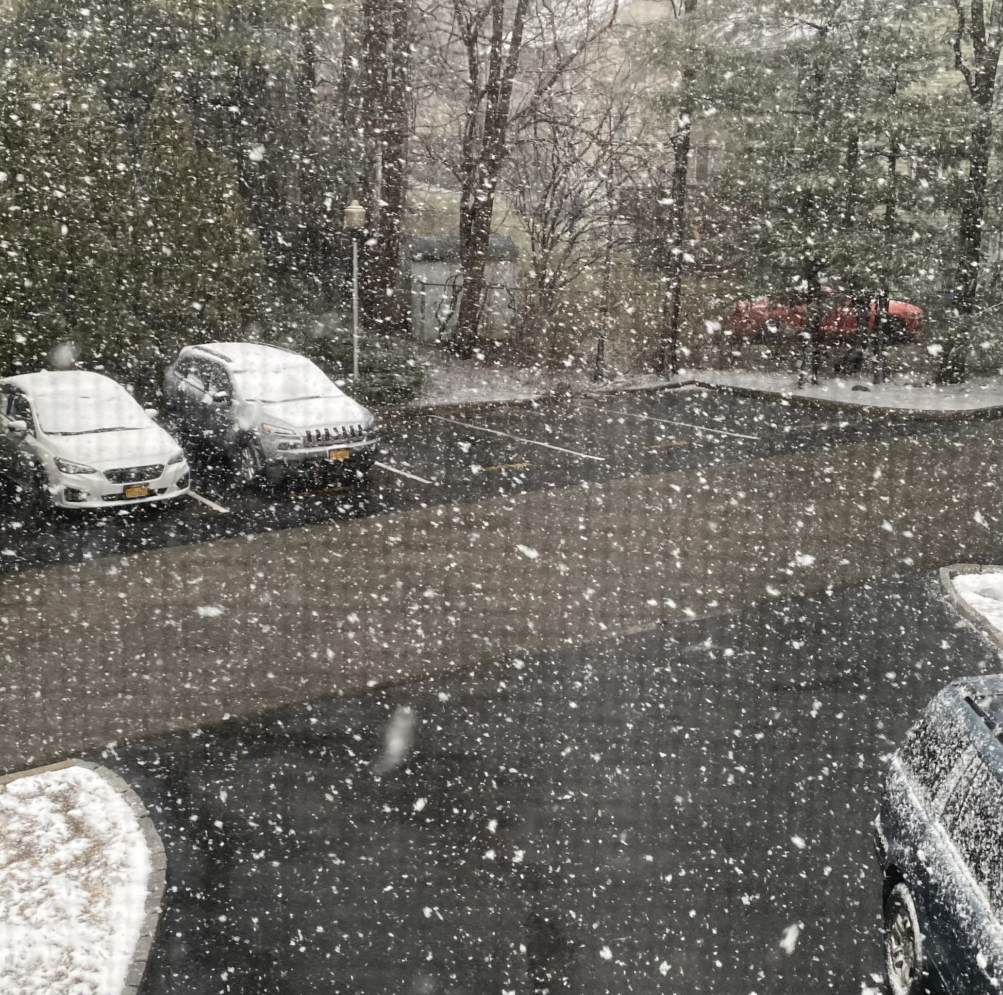
that was 5 min later from the previous picture lol
-
-
Nice! Pretty much everything covered now except the street. I guess that’s win! Lol
-
Agreed I live in a two story townhouse so at times I just glare out in the window! ok finally starting to have the trees like white and wintry!
-
Agreed I live in a two story townhouse so at times I just glare out in the window!
-
Temp down to 32 needs these rates to hold for a few more hours and maybe just maybe the ground will get white.
-
No well it’s slowly pivoting down to the SW. basically a blizzard with no pavement accumulation. Temp 33
-
That’s the deformation band last night models were showing. It developed so let’s see if maybe just maybe we can put down a couple inches on the grass
-
Yeah they are. I am on the western edge of that monster band and it’s snowing like a bastard but ground still wet lol