allgame830
-
Posts
2,528 -
Joined
-
Last visited
Content Type
Profiles
Blogs
Forums
American Weather
Media Demo
Store
Gallery
Everything posted by allgame830
-
NAH NOW LOL
-
Bro i love snow but its almost April..... lets get the warmer weather here!!!!
-
I’d definitely be OK with no more snow this week but that doesn’t seem like it’s going to happen lol
-
Damn did 4 houses today with my son! Hard labor! 3 more tomorrow! Big money to be made out there with these storms!
-
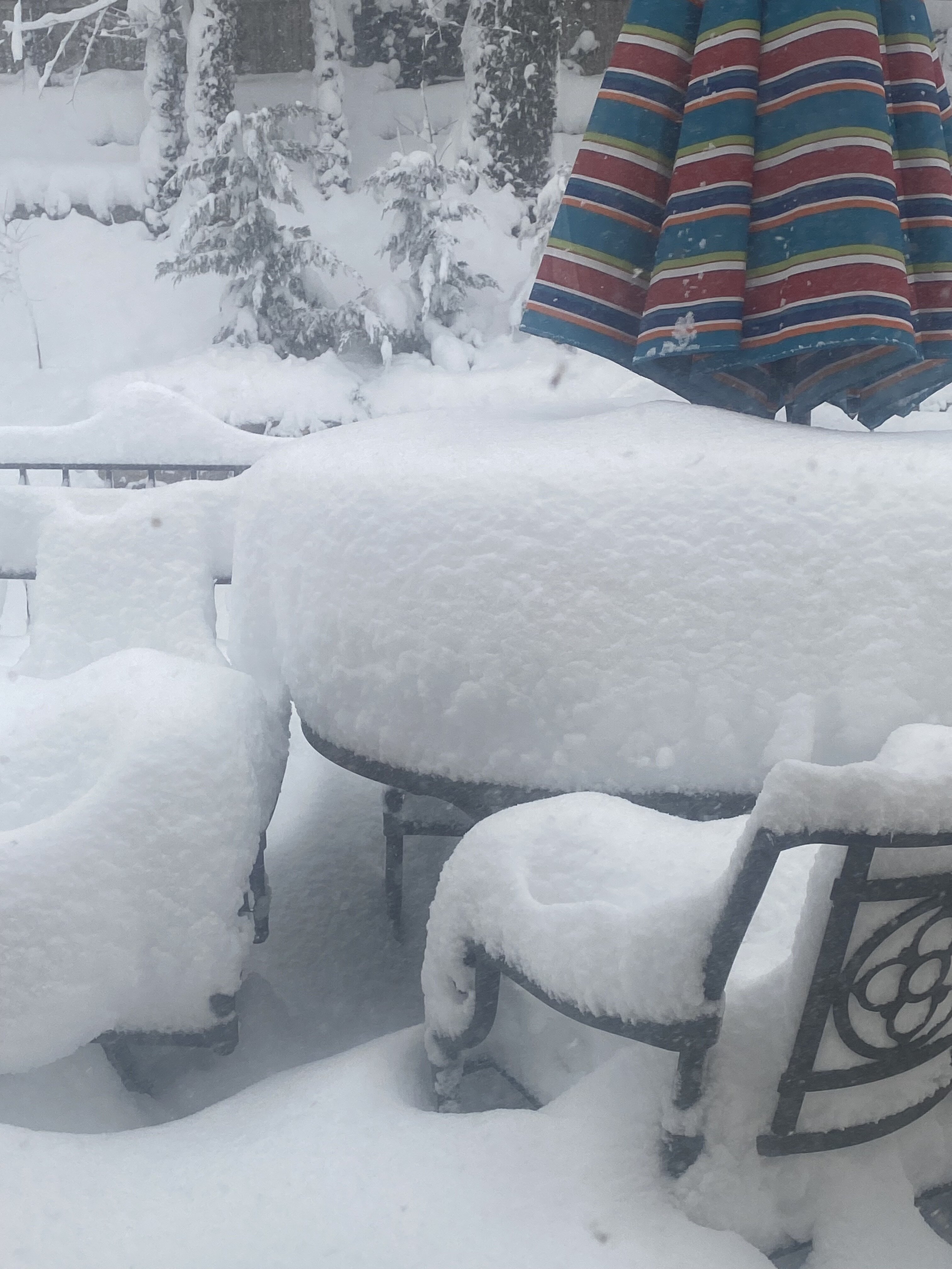
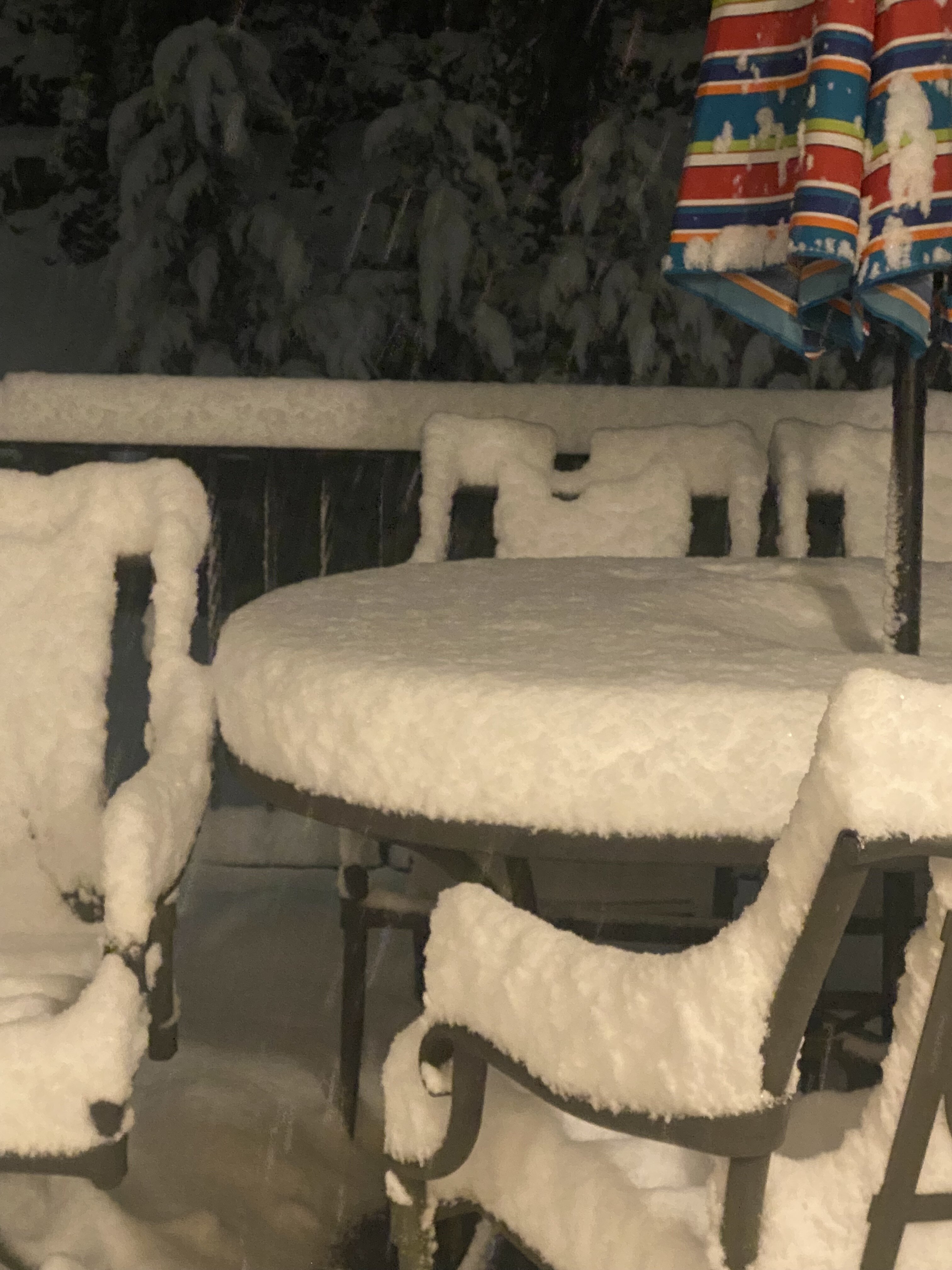
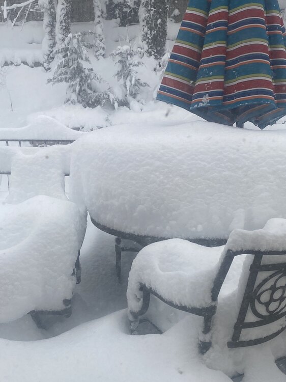
Hawthorne NY, haven’t measured but looks around 20” … @cleetussnow what you got neighbor?
-
Easily over 10-11” in Hawthorne NY. Just pouring snow!
-

-
I’m in Hawthorne NY just north of 287 and it’s ripping! @cleetussnow I’m sure you would agree!!
-
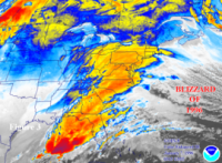
I’ll say it once more relax fellas!!! Just look at the HREF that was just posted. Seriously you guys are causing way too much panic! All systems are a go!
-
Use the mesos now guys!!
-
Umm huh it has over 2” QPF for nyc…. Guys relax lol. 18-24” is still a good possibility
-
Post with a map, so annoying
-
Yeah I don’t like the split in threads gotta go back and forth
-
I definitely agree with that. I don’t see widespread 2 feet amounts but I’m sure there will be quite a few. His claim was baseless earlier. I think we land somewhere in the middle between the NAM/SREF and rest
-
I’m aware, just like going back him because it’s fun and since it’s daily posted whatever the limit is he can’t post anymore at some point until the next day LOL
-
Dude seriously…. Step away from the board you have been mostly silent. And the sref cut back like an inch. Still snows roughly 18 inches. Either you stop trolling or I am going to silence your posts.
-
Gotcha! Only asked bc I used to work at one in Westchester county NY like 5 miles from home.
-
I’m aware and you will b wrong! 12” is the floor here. Bye for now
-
That’s still textbook right there!
-
Not a fan of obs threads but it’s find whatever everyone wants to do… but problem is there will B a lot of jumping back and forth.
-
I’m guessing that looks spot on to what we want to see am I correct?
-
You work at a ShopRite? Or was one of the first shoppers this morning lol
-
For the 1000% time the non us models are GLOBALS!! Stop using them at this point. Also they are way to dry in this situation, imagine a sub 970 at the benchmark and only 1” QPF gimme a break! Also the globals move the storm along faster as opposed to the mesos! Seriously just sit back and watch this beast unfold this afternoon, you and @snowman19 must be from the same mold!
-
Also globals are used in more for the mid and long range not short range like where we are now.
-
I’m sure the pretty maps will have tons of oranges