

Festus
-
Posts
599 -
Joined
-
Last visited
Content Type
Profiles
Blogs
Forums
American Weather
Media Demo
Store
Gallery
Posts posted by Festus
-
-
No need, check official forecast, they did it for me.
Can somebody tell me how Temiskaming Shores (pop 50) gets onto a map and Chicago doesn't?
Seriously, I can certainly see how actual amounts will be in the 6-12 inch range but my forecast is based on GEM being best available modelling, have been tracking events in Europe for forecasting that I do, and GEM has been quite reliable all winter when GFS and ECM are not in agreement, when they are in agreement I tend to take that blend and just check GEM for possible deviations -- what's interesting, and this may answer a question asked in the thread by Stormtracker IIRC, what the Canadian model may be picking up is the setting up of blocking from the fairly strong trailing wave that formed in the wake of the Tuesday s.e. VA developing low that then exploded to 952 mbs south of Newfoundland, then was followed by developing low -- also developments over Greenland and Europe are slowly building towards a major blocking episode, GEM seems to have done better with this and I noticed today's ECM 12z run has backed off a very progressive 00z solution in Europe towards at least 50% of the cold advection for Britain and Ireland suggested on GFS and GEM.
My forecast scenario could also go wrong if the retrograde loop is further north than GEM shows. This would shift the 24-30 inch outcomes into east central PA entirely, and would probably result in 50-60 per cent validation rates on my amounts for BWI and DCA, IAD.
Anyway all my forecast really says is that I feel the RGEM has the best call on development. We'll find out on Monday.
Lifted from the MA forum. Wasn't the GEM the one with those scary gray colors usually not seen outside of Buffalo during an epic lake effect event?
-
Warning issued from LWX for PA border counties. 6 - 12" with 0.1" of ice.
-
And for the record, the Weather Channel storm name is Orlena which means "golden".

-
 1
1
-
-
Zoinks. Maybe the Weather Channel needs to refire the 2 - 3 ft graphic.
And then 50 and rain by Friday. Double zoinks.
-
 1
1
-
-
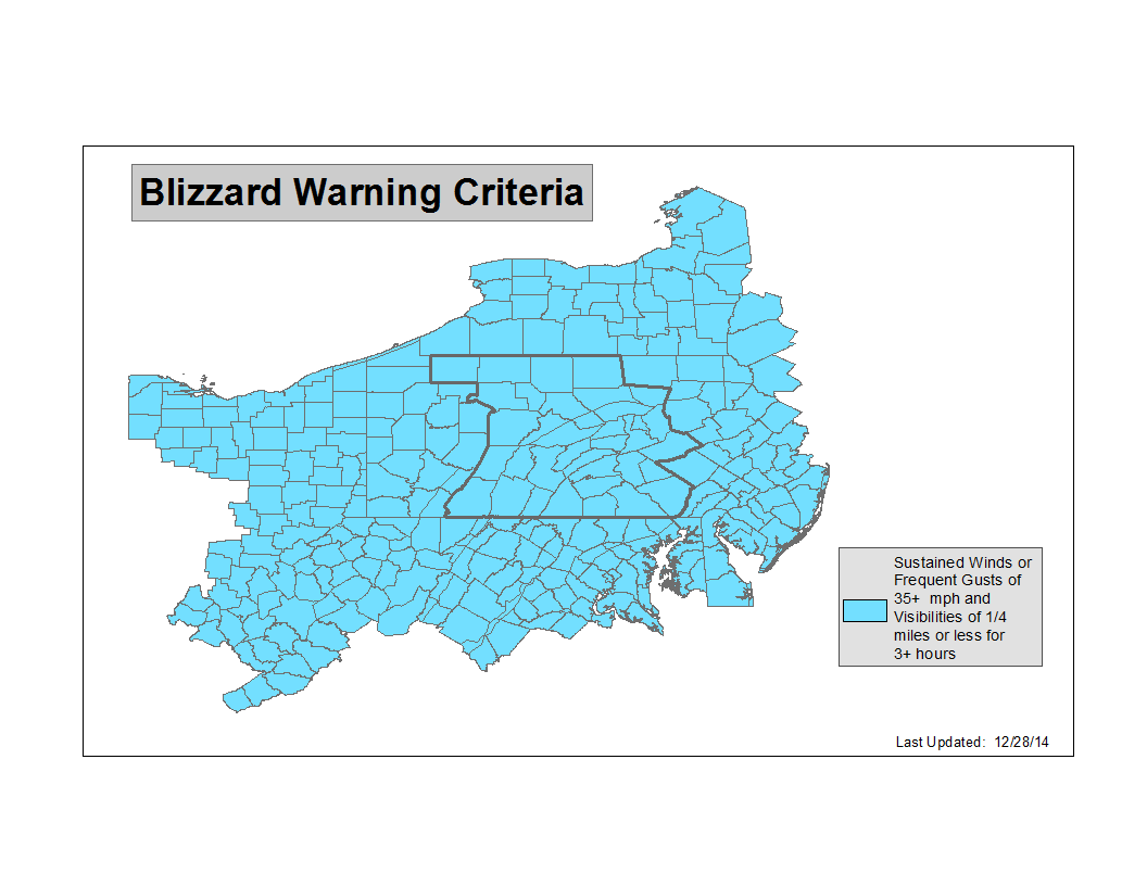
From CTP's AFD earlier -
"Wind gusts 30-35mph are possible across the far southeast zones particularly early Monday as the low deepens offshore the Delmarva/NJ coast."
Coupled with -
"Blizzard Warning: Sustained or frequent gusts to 35 mph or greater and considerable falling and/or blowing snow. These conditions must last for at least 3 hrs. (Usually associated w/6+ inches of snowfall in central PA)"
...Just maybe
-
 3
3
-
-
Watch issued by LWX. We can't be too far behind.
-
Bup 'o kiss here. Like completely dry.
-
Spot on at the moment Mag - my grid for Monday night:
"Sleet, possibly mixed with snow. Low around 27. Chance of precipitation is 80%."
Ick.
-
WWA issued for all (just added the 4 southeast counties). Quite the potpourri depending on one's location.
-
4 minutes ago, paweather said:
And my county. It should be interesting, maybe the cold air hangs on longer down here.
Yep, my bad. At least the giant bologna won't be ice covered for the drop tonight.
-
1
-
-
WWA for all except Lancaster and York counties.
-
Snowpack took a hit in the past 24 hours. Tips of the grass visible in some spots. Might not be a bad thing given the .75 - 1 inches of "showers" in my grid for Thursday (pet peeve - wouldn't .75 - 1 inch be called "rain"?).
-
Do you guys use your personal weather stations or use the closest WU station when reporting conditions?
-
Low of 9.7F here in East Petersburg. Coldest reading so far in calendar 2020!
-
35 minutes ago, Voyager said:
I just saw that and was going to post about it. Thing is, it's nice to get a big bomb, but what do you do with all that snow? Where do you put it when shoveling?
Reports the highest storm total of 44" near Binghamton.
https://www.yahoo.com/news/deadly-winter-storm-brings-nearly-165906297.html
-
Right at 10" here. The blower was unamused moving it but got through. Amazing I have dry driveway already. Even at basically the lowest sun angle of the year, a clear sky can finish the drying quickly.
-
All sleet. Great visibility though.
-
Sleet mixing in here at the moment.
-
Dry slot around mid Virginia moving north has me a little concerned. What's the thinking of that either filling in or shutting us off?
-
This is just grand. I put a long line Christmas lights along my sidewalk and around the front of the house about 6 inches off the ground. It appears that won't end well.
-
1
-
-
Just so we don't forget what one of these looks like. At least there's winter SOMEWHERE in PA...
PAZ001>003-262345-
/O.CON.KCLE.WS.A.0002.200227T0300Z-200229T2300Z/
Northern Erie-Southern Erie-Crawford-
Including the cities of Erie, Edinboro, and Meadville
1045 AM EST Wed Feb 26 2020

...WINTER STORM WATCH REMAINS IN EFFECT FROM 10 PM EST THIS
EVENING THROUGH SATURDAY AFTERNOON...

* WHAT...Heavy snow possible. Total snow accumulations of 6 to 10
  inches possible. Higher amounts in excess of a foot are possible
  across inland Erie county. Winds could gust as high as 45 mph
  which will cause blowing and drifting of the snow.

* WHERE...Northern Erie, Southern Erie and Crawford counties.

* WHEN...From 10 PM EST this evening through Saturday afternoon.

* IMPACTS...Travel could be very difficult to impossible. The
  hazardous conditions could impact the morning or evening
  commute.

* ADDITIONAL DETAILS...Gusty winds will cause wind chill
  temperatures in the single digits Thursday through Saturday
  morning.
-
Matt Moore is indeed bailing from WGAL, traffic anchor Britney Garzillo as well. This may even go back to the Eastern days but wasn't there a dude (Zak maybe?) who was really sharp and left due to too much drama?
-
CTP showing 1 -3 here with sleet mixing around 4 PM. I'm guessing they are waiting for the 12Z suite before issuing products. On a totally unrelated note, the February natural gas futures have absolutely tanked. Guess the traders do not see big arctic chill next month.
-
1 minute ago, Itstrainingtime said:
Great picture! Looks like about 2"?
That's pretty accurate. Just the VERY tips of the grass visible. Definitely an over performer down my way.
Central PA - Jan 31 to Feb 2 Winter Storm
in Upstate New York/Pennsylvania
Posted
Just a reminder - Top 10 all time for Lancaster (Millersville):
1. January 7-8, 1996 — 30"
2. January 22-23, 2016 -- 26.7"
3. February 11-12, 1983 — 24"
4. February 16-17, 2003 — 24"
5. February 5-6, 2010 — 24"
6. February 15-16, 1958 — 20"
7. February 9-10, 2010 — 19"
8. March 13-14, 1993 – 18”
9. March 20-21, 2018 - 17.5"
10. (tie) January 16, 1945 - 17"
10. (tie) February 3-4, 1961 - 17"