

dendrite
-
Posts
63,212 -
Joined
Content Type
Profiles
Blogs
Forums
American Weather
Media Demo
Store
Gallery
Posts posted by dendrite
-
-
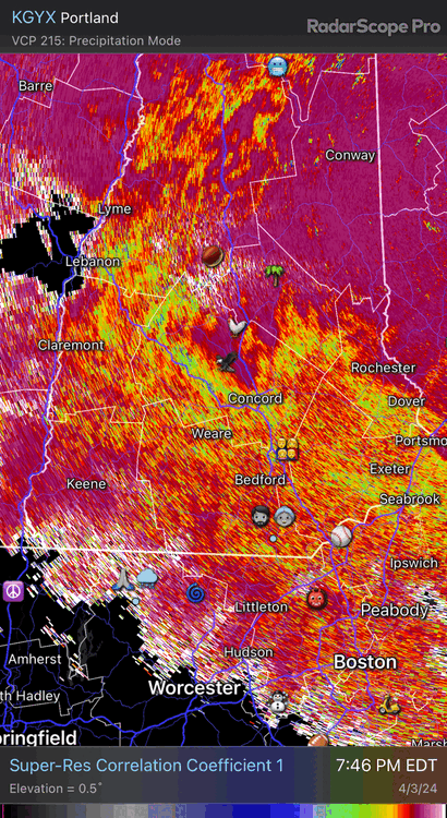
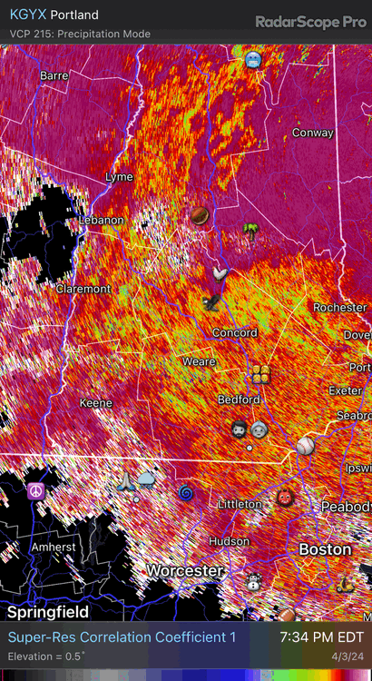
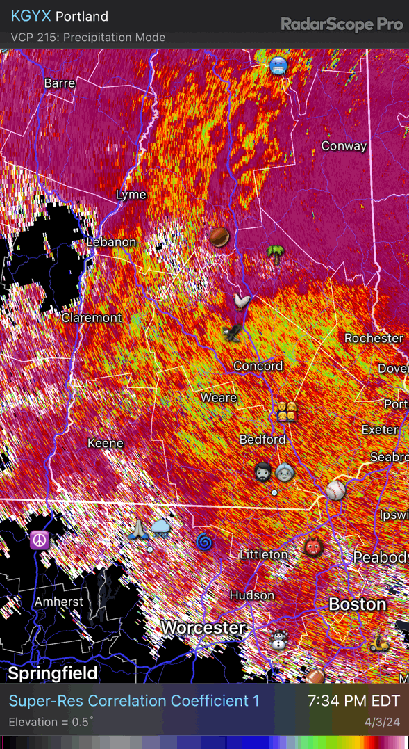
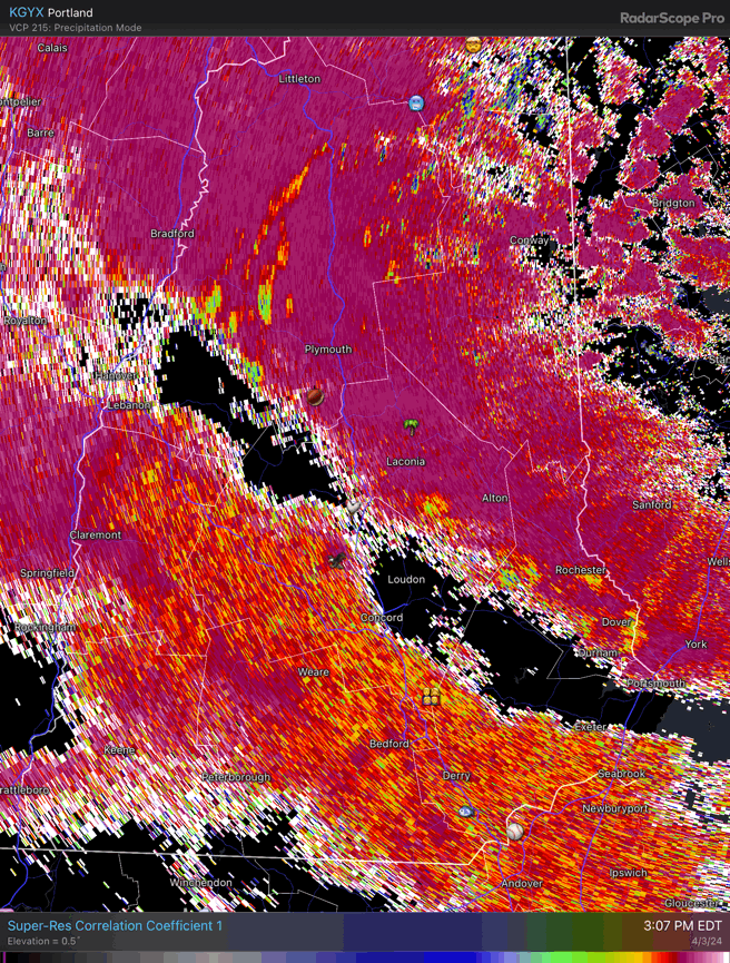
A lot of S NH is flipping now.
-
 1
1
-
-
The sleet is getting whacked back from the NE and the W now
-
2
-
-
-
32.8° SN
Accumulating decently
-
2
-
-
50/50 SNPL again. CC shows it washing out.
-
2
-
-
Ripping sleet. 33.6°
-
All snow for the past few minutes and coating up. The pingers will probably push back in though.
-
34° SNPL
-
1
-
-
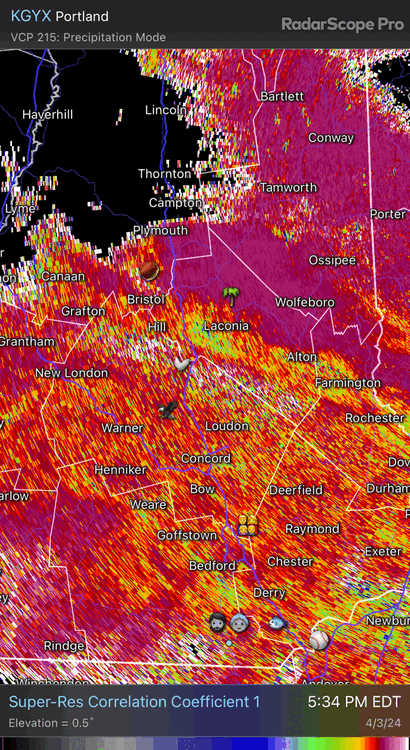
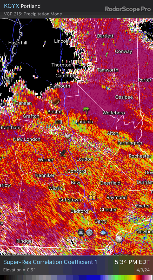
Sleet line getting pushed back in E NH already. Mostly snow now although I expect the sleet to put up a fight for awhile.

-
2
-
-
36° -RAPLSN
-
Some snow mixing in in CON now
-
31 minutes ago, tunafish said:
Good lord. I hope they take that graphic out back and shoot it.
They print those and put them under the blacklights in VT
-
 1
1
-
-
3 minutes ago, CoastalWx said:
Yep. A big bag of WTF in that one.
I’d argue those were my strongest prolonged winds since moving here. Coop door almost blew off. Blizzard conditions with the lgt/mod snow and BLSN.
-
8 minutes ago, OceanStWx said:
That was a great WTF event.
Are we talking the Mar snow event? I gusted big in that one with downslope assist. 50+
-
I’m going to guess soil temps are factored into those depth maps. 4”/8” here is 40F and I tend to run cool locally. So the model probably isn’t liking snow falling onto 40-50F soils.
-
4 minutes ago, SnowLover22 said:
When is ever an appropriate time to use the PDC maps? I am pretty sure they only had 6-8 inches for our region for the last storm and we know how that turned out.
Maybe when it’s 34F glop.
-
2 minutes ago, powderfreak said:
That 3km PDC map is comical.
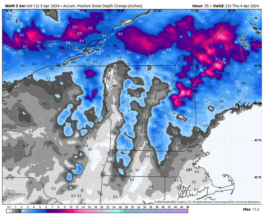
Trash
-
Still flashes much of NH to snow around midnight and then pounds through late morning. 2m is pretty cold too…subfreezing here all day.
3k does keep SE NH with off and on IP issues through morning.
-
4 minutes ago, eekuasepinniW said:
lol
50+mph from the west or north = grid fine
14mph from the east = total grid collapse
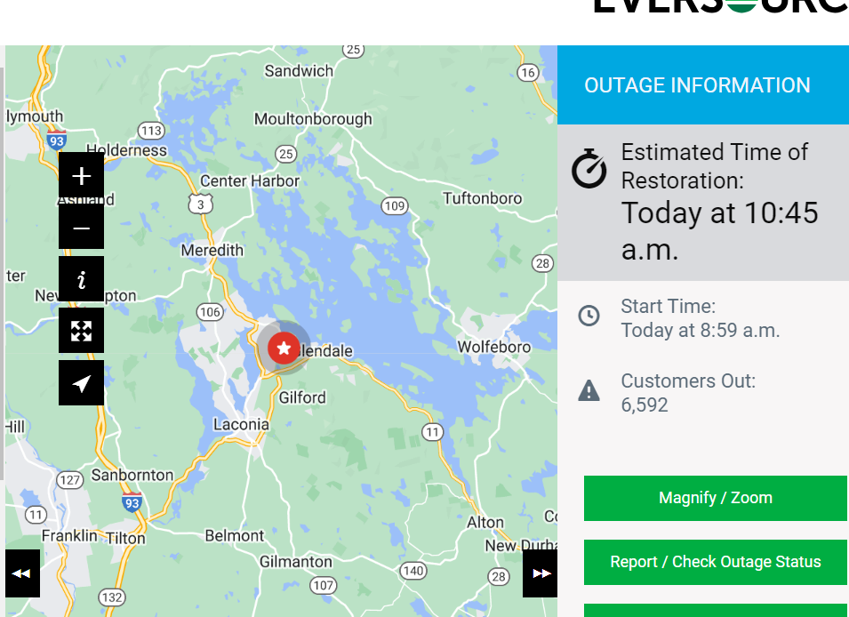
Kidding aside. I passed about a dozen Holland Power Services utility trucks going south on 93 this morning. Looks like NH utilities have called in reinforcements already.
-
2 minutes ago, CoastalWx said:
When is that model not wild.
Flashing for beads like Steve yesterday
-
1
-
-
HREF GW in E NH/SW ME
-
1
-
-
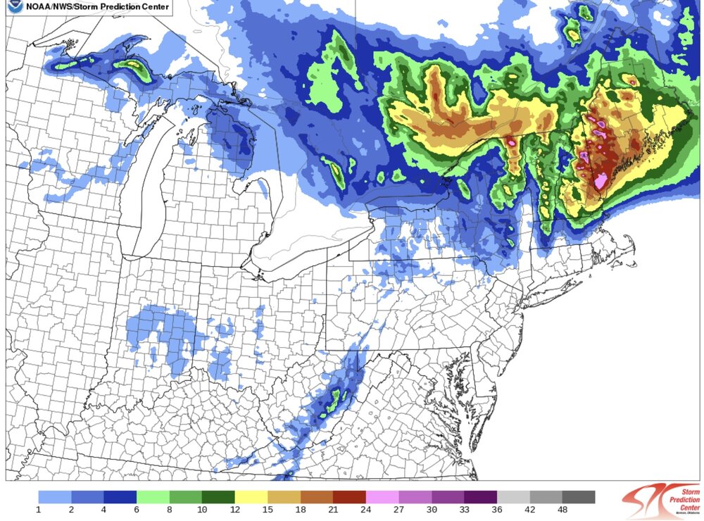
RGEM has a 2-2.5” QPF burger around the Monads/MRV in S NH. Maybe a little QS fronto just west of the redeveloping midlevel low?
-
41 minutes ago, Damage In Tolland said:

-
1 minute ago, dryslot said:
With a tilt to it or upside down?
Full zonties


Significant Miller B Nor'easter Apr 3rd-4th OBS
in New England
Posted
Just the edge of the radar echoes being picked up…nbd