


colonel717
-
Posts
2,917 -
Joined
Content Type
Profiles
Blogs
Forums
American Weather
Media Demo
Store
Gallery
Everything posted by colonel717
-

Pittsburgh/Western PA WINTER ‘25/‘26
colonel717 replied to Burghblizz's topic in Upstate New York/Pennsylvania
Not seeing much in that way of squalls for this afternoon on any guidance. Plus going to be pretty warm. IMBY sitting at a little under 28 inches so far for the winter. -
Pittsburgh/Western PA WINTER ‘25/‘26
colonel717 replied to Burghblizz's topic in Upstate New York/Pennsylvania
Not sure how much compaction occurred with the brief mix we had but definitely at least 2 inches. So I think that was an over performer. Most were calling for .5 to 1 inch over night for part 1. NAM was horrible. Canadian was best that I could tell. Nice that we had high moisture content. doesn't sublimate as quick so want to keep this around until late next week. Not sure when the snow squalls are supposed to come today.
-
Pittsburgh/Western PA WINTER ‘25/‘26
colonel717 replied to Burghblizz's topic in Upstate New York/Pennsylvania
Looks beautiful out. I went to bed at 3 and radar looked great. Looks like we had some rain mix in earlier. Will measure in a little. -
Pittsburgh/Western PA WINTER ‘25/‘26
colonel717 replied to Burghblizz's topic in Upstate New York/Pennsylvania
Looks like North Hills area getting moderate to heavy snow? The 0z NAM had no snow starting until 1am. I have maybe quarter inch so far. -
Pittsburgh/Western PA WINTER ‘25/‘26
colonel717 replied to Burghblizz's topic in Upstate New York/Pennsylvania
Snow has started here. Looks like some decent returns to my south. -
Pittsburgh/Western PA WINTER ‘25/‘26
colonel717 replied to Burghblizz's topic in Upstate New York/Pennsylvania
I just pulled up radar and no short term models are showing any of this snow right now. It checked reports and New Castle and Evans City are showing snow so its not viga. I looked at where are snow later is coming from and no models look like the current radar depiction there either. Surprises in store? @Rd9108Hrrr can't even get current hour correct, how in the hey are they going to be correct at hour 42... -
Pittsburgh/Western PA WINTER ‘25/‘26
colonel717 replied to Burghblizz's topic in Upstate New York/Pennsylvania
This map looks to be very consistent with the latest short term models. I don't see any that could point to this being an over performer at this point. So 2in looks to be the max. Update after RDPS run which gives most of us 3in. and CMC has 4 in. I'm riding that.. -
Pittsburgh/Western PA WINTER ‘25/‘26
colonel717 replied to Burghblizz's topic in Upstate New York/Pennsylvania
As beautiful as that run was the other night, that 6z run has fully erased that x10. Back to back WTOD. We may need to pull it out after that. Worst nightmare for us. Update on 12z. Looks like case case of suppression by all the early 12z. No big storm but also no risk of WTOD. -
Pittsburgh/Western PA WINTER ‘25/‘26
colonel717 replied to Burghblizz's topic in Upstate New York/Pennsylvania
Speaking of 2010, was that the storm where someone posted a sign on here and we got the storm? Maybe pull that out now... -
Pittsburgh/Western PA WINTER ‘25/‘26
colonel717 replied to Burghblizz's topic in Upstate New York/Pennsylvania
It looked like the GFS at 18z was going to bring back that insane storm. That period is still looking like it could produce. -
Pittsburgh/Western PA WINTER ‘25/‘26
colonel717 replied to Burghblizz's topic in Upstate New York/Pennsylvania
A couple days of not getting out of below zero. Been a while since something like that happened. -
Pittsburgh/Western PA WINTER ‘25/‘26
colonel717 replied to Burghblizz's topic in Upstate New York/Pennsylvania
NAM looks decent for area wide 1-2 inch snow tomorrow night starting around 9pm -
Pittsburgh/Western PA WINTER ‘25/‘26
colonel717 replied to Burghblizz's topic in Upstate New York/Pennsylvania
I thought I was done. I was sunny for a good while but got really dark again and started ripping again even though radar didn't look that great.. Didn't last long. Some bigger blobs out to the west. But more breaks until they get here. -
Pittsburgh/Western PA WINTER ‘25/‘26
colonel717 replied to Burghblizz's topic in Upstate New York/Pennsylvania
I grew up in West Mifflin. Over by the Community College. That's a far drive for you. -
Pittsburgh/Western PA WINTER ‘25/‘26
colonel717 replied to Burghblizz's topic in Upstate New York/Pennsylvania
Got about an inch in 15 minutes.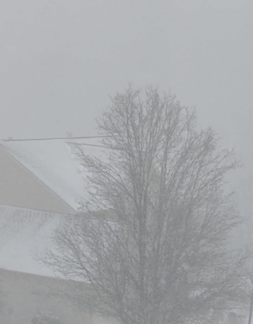
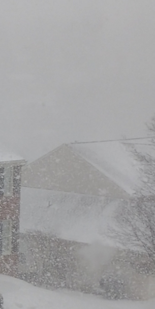
-
Pittsburgh/Western PA WINTER ‘25/‘26
colonel717 replied to Burghblizz's topic in Upstate New York/Pennsylvania
Just ripping here. Beautiful out there.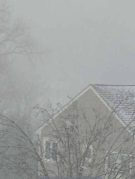
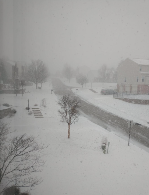
-
Pittsburgh/Western PA WINTER ‘25/‘26
colonel717 replied to Burghblizz's topic in Upstate New York/Pennsylvania
I went back to 2012. Had some huge DGEX runs in there. It got really dark here and now near white out. Looks like from Canonsburg east towards Bethel and South Park in a good spot today. At least where I am in Bethel right near border. Looks like more in land not as good. -
Pittsburgh/Western PA WINTER ‘25/‘26
colonel717 replied to Burghblizz's topic in Upstate New York/Pennsylvania
Thanks. That's probably what it is. It definitely says this file exceeds size limit. 55.899KB -
Pittsburgh/Western PA WINTER ‘25/‘26
colonel717 replied to Burghblizz's topic in Upstate New York/Pennsylvania
Pretty heavy squall coming through here now. Maybe 1/2 mile visibility. -
Pittsburgh/Western PA WINTER ‘25/‘26
colonel717 replied to Burghblizz's topic in Upstate New York/Pennsylvania
Picked up an inch overnight. I am unable to load any pictures. I get error saying too large. Even if i make the image as small as possible. Anyone else get that? -
Pittsburgh/Western PA WINTER ‘25/‘26
colonel717 replied to Burghblizz's topic in Upstate New York/Pennsylvania
Great runs by the 0z models. From 22nd through 26th looks loaded with potential. And that is after I think we get a few good surprises next few days. -
Pittsburgh/Western PA WINTER ‘25/‘26
colonel717 replied to Burghblizz's topic in Upstate New York/Pennsylvania
Nice squall heading towards South Hills. -
Pittsburgh/Western PA WINTER ‘25/‘26
colonel717 replied to Burghblizz's topic in Upstate New York/Pennsylvania
HRRR looks barren compared to radar. Heavy snow warning issued near Dayton and Columbus. 2-3 inch per hour rates. -
Pittsburgh/Western PA WINTER ‘25/‘26
colonel717 replied to Burghblizz's topic in Upstate New York/Pennsylvania
Snowing pretty good. Grass fully covered. Radar filling in to West. -
Pittsburgh/Western PA WINTER ‘25/‘26
colonel717 replied to Burghblizz's topic in Upstate New York/Pennsylvania
Models were pretty good in showing first flakes around 8 which turned out right.
