

HoarfrostHubb
-
Posts
58,734 -
Joined
-
Last visited
Content Type
Profiles
Blogs
Forums
American Weather
Media Demo
Store
Gallery
Everything posted by HoarfrostHubb
-
That March 1 deluge will somehow verify though
-

New England Met Winter 2022-2023 Banter
HoarfrostHubb replied to HoarfrostHubb's topic in New England
Our school just got swatted. We live in the the dumbest of times -
New England Met Winter 2022-2023 Banter
HoarfrostHubb replied to HoarfrostHubb's topic in New England
If it gives me reliable cheap fast internet, I’m in. Eff the planet -
Julius still your preference?
-
New England Met Winter 2022-2023 Banter
HoarfrostHubb replied to HoarfrostHubb's topic in New England
Starlink flyover this evening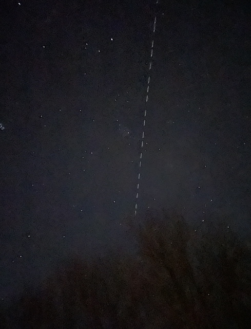
-
You mean 100+" at BHO in a couple of weeks isn't likely? That must have been something to witness
-
I was told there wasn’t anything
-
Lots of folks on the local pond near me yesterday. No clue how thick the ice is but they seemed to be having fun
-
Any event where hallucinations kick in has to be fun
-
New England Met Winter 2022-2023 Banter
HoarfrostHubb replied to HoarfrostHubb's topic in New England
One of my former students (Noah Gray) is playing in the SB for KC- 873 replies
-
- 11
-

-
Once the snow around here melts and it dries out I can enjoy it somewhat. In the meantime, it is one long messy period
-
It is looking like a mini version of that for sure
-
New England Met Winter 2022-2023 Banter
HoarfrostHubb replied to HoarfrostHubb's topic in New England
If anyone is looking for something good to watch, try “The Rescue”(2021) on Disney+. It is a documentary about the rescue of those soccer kids who were trapped in a cave in Thailand in 2018. Amazing bravery. -
Yeah. Saw that tweet earlier today. The last two years my students have not had good conditions. There is still plenty of “snow” but it is compacted manmade stuff
-
New England Met Winter 2022-2023 Banter
HoarfrostHubb replied to HoarfrostHubb's topic in New England
Decent crew out on Bent’s pond here in the Hubb today. Last weekend it was packed -
Thursday is my 6th and final school ski club day. We’ve have rain on 4 of the previous 5 and I postponed one due to rain. So 5 or 6 Thursdays it has rained and now a torch 60s day What fun
-
Feb 2018 I saw 80F on my car thermo on the Pike near Boston. It happens
-
They have Treehouse magnets? I’ve seen their stickers
-
Yeah. It’s not looking good.
-
Quite a bit of fog in my area this morning. Snowpack starting to get that Swiss cheese look. Still had snow on part of my roof when I left. Should be gone by this afternoon.
-
Any 60s tomorrow? I know guidance has it cooler but would not be shocked if some stations tickled 60
-
Even the 2008 ice storm in this area, while devastating in terms of damage, was stunning in its beauty. A crystal palace
-
I do like the look of a big ice storm. But I hate the glazes like today and of course the damage caused by big ice events
-
I hate ice so much. Would take HHH anytime over ice
-
New England Met Winter 2022-2023 Banter
HoarfrostHubb replied to HoarfrostHubb's topic in New England
I think OceanStateWx was out trying to launch some weather balloons to see if he could make it snow. They wanted to shoot down some balloons...


