

CentralNC
-
Posts
532 -
Joined
-
Last visited
Content Type
Profiles
Blogs
Forums
American Weather
Media Demo
Store
Gallery
Posts posted by CentralNC
-
-
3 minutes ago, tarheelwx said:
Agree that’s it’s a little early yet. 18z NAM gave gso 0.51 of freezing rain. Was about half that at 12z. Mainly temps were a degree or so colder.
TW
Afternoon pkgs tomorrow will probably have watches in them.
-
1 minute ago, BornAgain13 said:
Does anyone think this will be a situation in which Northern NC and Southern VA get placed under an ICE Storm Warning?
Not unless they start thinking someone will get .5 inches of ice. I don't anticipate that.
-
3 minutes ago, NCSNOW said:
FV3 has definitely trended more icier and colder at 12z compared to its earlier runs. ICON would be a big ice storm in NC, Just like the Canadian if you look t surface temps,DP ,Precip.
Not surprised. This is a pretty cold air mass we are dealing with.
-
7 minutes ago, BornAgain13 said:
The High placement looks good and solid.... it's a colder run for sure.
This thing has screamed ice storm from the get-go for places outside of the mtns.....see no changes thus far in the modeling to dispute that.
-
2 minutes ago, kvegas-wx said:
Got it. Just read RAHs 4am synopsis as well and they appear to be suggesting a blend of both precip types for the triad including 1-2" of snow and .25 ZR. So its both. Sloppy Sunday incoming!
Yeah I think in Triad it will be primarily remembered as an ice event.
-
2 minutes ago, BornAgain13 said:
Yeah, I hate to say it but this one is trending in the wrong direction if you want snow/Ice
Too early to give up in VA imo. Still 3 days to go. Still time for trends to change
-
1 minute ago, eyewall said:
The failboat is already here on this one for RDU. See you in the sanitarium. This will be a mountains/NW Piedmont event at best.
Agree 100%. I would not count on the backend snows out of this one.
-
2 minutes ago, sarcean said:
Correct me if I'm wrong but Raleigh is normally quite conservative to call for snow so I think its big they are so bullish on this storm so far
Yeah the last time GSP was more bullish so it's the other way around this time. Go figure.
-
 1
1
-
-
1 hour ago, Icy Hot said:
Robert who? Where is the link?
follow the WxSouth FB page to see his comments. Met out of Shelby and a good one. Has a pay site for more detaiis
-
3 minutes ago, NCSNOW said:
HO HO HO!
Can't see it but it must be good!
-
2
-
-
3 minutes ago, FallsLake said:
You live in a good "zone". I remember you did well last year in that early January storm; whereas I got about an inch. Then we both did well in the late January storm. Folks south and east of Raleigh have missed out the last few years. I feel (in my bones) that's going to change this year; a coastal plain blizzard is in order.
Raleigh area will always have the 1/25/2000 storm. I'll never see anything like that at my current location. But I do tend to cash in on several small events that Raleigh does not, so I cannot and won't complain.
-
1
-
-
17 minutes ago, kvegas-wx said:
I want everyone here to get their snow so dont take this the wrong way, but I never want to see over a foot of snow again. I think 4" is about right. Coat everything, cover the grass, you can walk in it, drive in it, shovel it fairly easily, businesses stay open and it melts quick. The order of magnitude increase in complexity of everything with the limited snow removal resources here in the south is unreal.
The ideal winter for me going forward is 3-4 4" inch events with one of them being Christmas morning. A foot is cool if you dont actually have to function for 3-4 days.
Don't want a foot of snow? Are you feeling well? j/k
-
2
-
-
Opaque sun shining through. Melting in process.

-
Nada here
-
Light snow in Lewisville
-
1
-
-
3 minutes ago, WeatherHawk said:
Wow! One for the books...does anyone know where I could find snow records for our state?
Not really but this is good reading
https://www.weather.gov/rah/events
-
Just measured 12.5 at multiple locations in my yard.
-
Just straight rippin here. The I-40 band is the real deal. 27 degrees.
-
5
-
-
Have to be close to 10 inches and heavy band inbound. 12+ easily within reach.
-
1
-
-
8 minutes ago, Poimen said:
At one time the HRRR was spitting out 2" per hour rates in the Triad around 9-10 this morning. This incoming band could be it.
I think you are right. Change to sleet will happen well after we are 12+
-
1
-
-
11 minutes ago, Poimen said:
Intense band rolling through currently. Straight up thumping outside right now.
I am thinking we are going 15+ in Forsyth county. Radar is stoked.
-
1
-
-
5 minutes ago, Poimen said:
Just measured 4" on the snow board here off Piney Grove.
6 minutes ago, Poimen said:Just measured 4" on the snow board here off Piney Grove.
Really? Not using a board, but just eyeballing I would say we are very close to 6
-
1 minute ago, Freeze said:
Radar shows snow above Mooresville but its not reaching the ground.
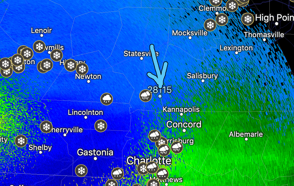
That is crazy. Not sure I have ever seen that happen on this type of storm before.
-
Ripping in Lewisville and starting to stick
-
1
-
January 12th-13th event
in Southeastern States
Posted