Greensnow
-
Posts
132 -
Joined
-
Last visited
Content Type
Profiles
Blogs
Forums
American Weather
Media Demo
Store
Gallery
Everything posted by Greensnow
-
Getting close! Only 40 miles north of me! Tweet See new Tweets Conversation NWS Binghamton @NWSBinghamton A touch later-than-usual (average is about Halloween), but we just finally got our first measurable snow of the winter here @NWSBinghamton 'tis the season! #pawx #nywx
-
Central PA - Summer 2021
Greensnow replied to Itstrainingtime's topic in Upstate New York/Pennsylvania
General 2-5 in NEPA with 3" roughly in my area and 5" in Southern Lackawanna and Southern Wayne. Horrible drive late night coming up the NE Extension from PHL around 11PM. Thought I was going to hydroplane into the woods. -
Central PA - Summer 2021
Greensnow replied to Itstrainingtime's topic in Upstate New York/Pennsylvania
he National Weather Service in Binghamton has issued a * Flash Flood Watch for portions of central New York and northeast Pennsylvania, including the following areas, in central New York, Broome, Chemung, Chenango, Delaware, Otsego, Sullivan and Tioga. In northeast Pennsylvania, Bradford, Lackawanna, Luzerne, Northern Wayne, Pike, Southern Wayne, Susquehanna and Wyoming. * From late tonight through Thursday morning. * Scattered heavy rain showers and possibly a few thunderstorms are expected out ahead of the remnants of Tropical Storm Fred early Wednesday morning. The remnants of Fred will push through Wednesday into early Thursday morning. Localized rainfall amounts over 5 inches will be possible and this would lead to flash flooding in some areas. -
Central PA - Summer 2021
Greensnow replied to Itstrainingtime's topic in Upstate New York/Pennsylvania
Looks like a disco outside with all the flashing lights. Storms incoming for the Northern Tier. -
Central PA - Summer 2021
Greensnow replied to Itstrainingtime's topic in Upstate New York/Pennsylvania
7/31 record lows AVP 47 back in 1956 with a forecasted low of 48 tonight. BGM 49 back in 1956 with a forecasted low of 46 tonight. Forecast low for me tonight is 47. Heat kicking on! -
Central PA - Summer 2021
Greensnow replied to Itstrainingtime's topic in Upstate New York/Pennsylvania
Crazy that you have been pointing to that for the last 6 weeks. Northern Tier vs Southern Tier is difference between significantly above average rainfall and drought. You are probably at Exit 1 on I-81 while I am at 197 so there is a ton of miles between us but still a huge disparity this year. -
Central PA - Summer 2021
Greensnow replied to Itstrainingtime's topic in Upstate New York/Pennsylvania
Wow-56 right now and went down to 52 last night. Blanket weather!!!!! -
Central PA - Summer 2021
Greensnow replied to Itstrainingtime's topic in Upstate New York/Pennsylvania
Thunderstorm just rolled through here NW of Scranton. Heavy downpour with some lightning. Had a nice storm last night but heavy stuff stayed north in the Southern Tier of NY. -
Central PA - Summer 2021
Greensnow replied to Itstrainingtime's topic in Upstate New York/Pennsylvania
Yes- I am a black dot. -
Central PA - Summer 2021
Greensnow replied to Itstrainingtime's topic in Upstate New York/Pennsylvania
The have and have nots. When I see someone talking about drought conditions it is a little like WTF are talking about. Over 3" for the week and 7" for the month with more incoming up here in the next 30 minutes. Played golf at Scranton CC last night and water was coming up from the fairways when you walked to your ball. Crazy. -
Central PA - Summer 2021
Greensnow replied to Itstrainingtime's topic in Upstate New York/Pennsylvania
Wow-didn't realize that anyone in the state was that dry. I am 30 miles from the NY Border above Scranton and have had rain almost every other day. Greatest dry stretch over this period was 5 days. With what fell in NEPA Tuesday and Wednesday night I would think most areas are above normal now. Rain on the way today and tomorrow. -
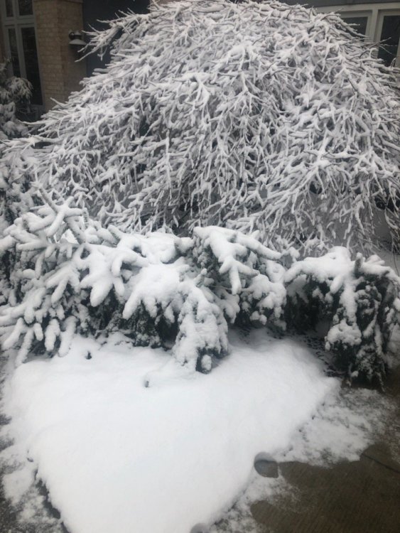
Got my first inch!
-
PENNSYLVANIA... ...BRADFORD COUNTY... 3 W SOUTH BRANCH 4.2 IN 0730 AM 04/01 TRAINED SPOTTER 3 WNW WEST FRANKLIN 3.9 IN 0745 AM 04/01 TRAINED SPOTTER SAYRE 2.8 WNW 1.7 IN 0700 AM 04/01 COCORAHS CANTON 1.6 IN 0800 AM 04/01 COOP SAYRE 0.7 S 1.3 IN 0700 AM 04/01 COCORAHS ...LACKAWANNA COUNTY... CLARKS GREEN 0.5 N 2.5 IN 0930 AM 04/01 COCORAHS VANDLING 0.1 NNE 2.0 IN 0700 AM 04/01 COCORAHS CLARKS SUMMIT 1.8 IN 0815 AM 04/01 TRAINED SPOTTER CLARKS SUMMIT 1.5 IN 0715 AM 04/01 TRAINED SPOTTER 1 ENE WEST SCRANTON 1.3 IN 0730 AM 04/01 PUBLIC ELMHURST 1.0 IN 0800 AM 04/01 PUBLIC SPRINGBROOK CORNER 1.0 IN 1045 AM 04/01 PUBLIC STERLING - 22 0.5 IN 0700 AM 04/01 COCORAHS
-
It snow!
-
1500' here! Do it to me one more time this week!
-
Central PA - Winter 2020/2021 Part 2
Greensnow replied to MAG5035's topic in Upstate New York/Pennsylvania
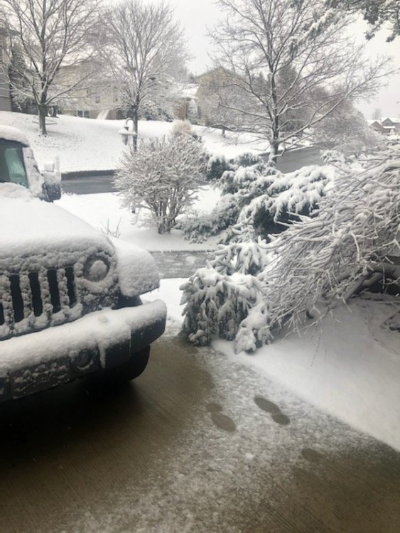
NYZ015-016-022>025-055-PAZ038-043-044-047-231700- Yates-Seneca-Steuben-Schuyler-Chemung-Tompkins-Tioga-Bradford- Wyoming-Lackawanna-Luzerne- 859 AM EST Tue Feb 23 2021 ...Light accumulating snow through the late morning... An area of light to moderate snow will accumulate up to an inch per hour through the late morning. Snow totals up to 1 to 2 inches are possible, leading to slick roadways. Visibility may also drop below a mile in the heaviest areas of snow. The snow will start to mix in with rain and taper off into the late morning. While out driving, allow for extra time to reach your destination. -
Central PA - Winter 2020/2021 Part 2
Greensnow replied to MAG5035's topic in Upstate New York/Pennsylvania
BGM The high sun angle this time of year will keep snow ratios possibly below 10:1, especially across our southern counties in NE PA. Snowfall rates will likely not be too intense, especially by early Monday afternoon, and the high sun angle may make accumulations tough on paved surfaces. Snowfall amounts will likely be very elevation dependent through the day Monday and some changeover to rain will be a possibility across the lower terrain. The higher terrain in NE PA is forecast to see 3 to 4 inches, while valleys get 1 to 3. -
Central PA - Winter 2020/2021 Part 2
Greensnow replied to MAG5035's topic in Upstate New York/Pennsylvania
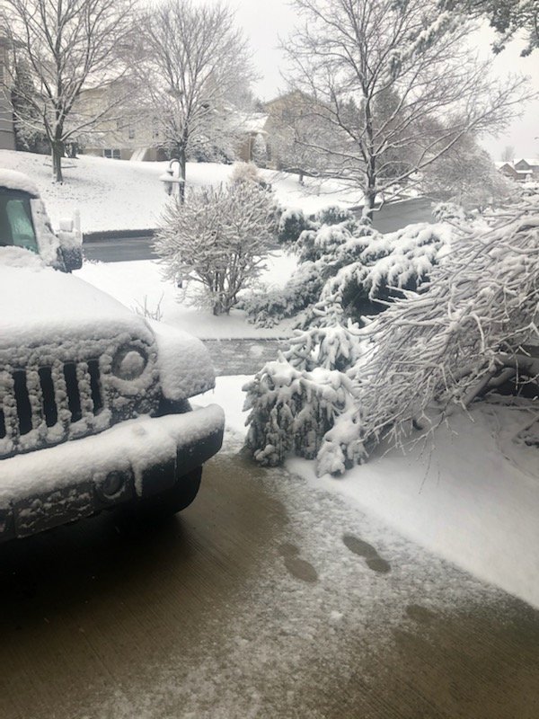
Thanks to all for the insight that this board delivers! Really has been my go to to track the weather and allows me to get the needed info without the "weenie" anger from the other boards. Part 2 was great as promised and we ended up over 4" with snow still falling. Up to 65" here and we usually have big March's (and April) so hopefully more to come. Getting back to the time of the season where elevation can matter. -
Central PA - Winter 2020/2021 Part 2
Greensnow replied to MAG5035's topic in Upstate New York/Pennsylvania
Love that I am up here in Lackawanna not under anything! WTF -
Central PA - Winter 2020/2021 Part 2
Greensnow replied to MAG5035's topic in Upstate New York/Pennsylvania
Funny but growing up in Philly it was always 2-4" with the Poconos at 12"+. I have lived north of Scranton for over 20 years and more often than not have watched heavier snows south of me. This year if finally circling back where I am over 60" for the season and BGM is over 80". The reality is that we have not had that many great years in terms of snow and cold over the past 20 years. This year it is snowing and the temperature has rarely been above 35 since early January. We will be back in the shitter next year-trust me! -
Central PA - Winter 2020/2021 Part 2
Greensnow replied to MAG5035's topic in Upstate New York/Pennsylvania
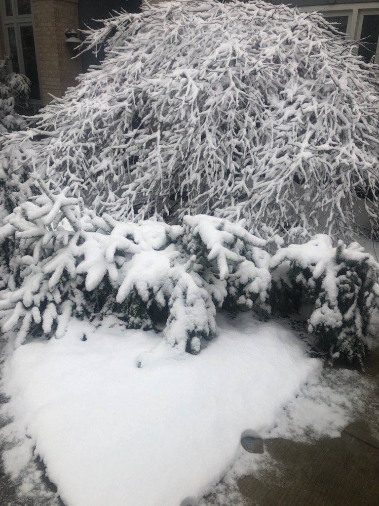
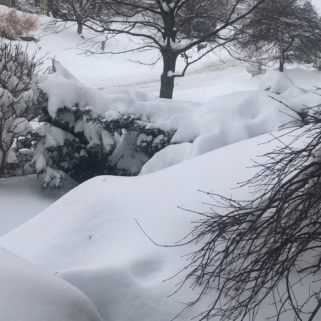
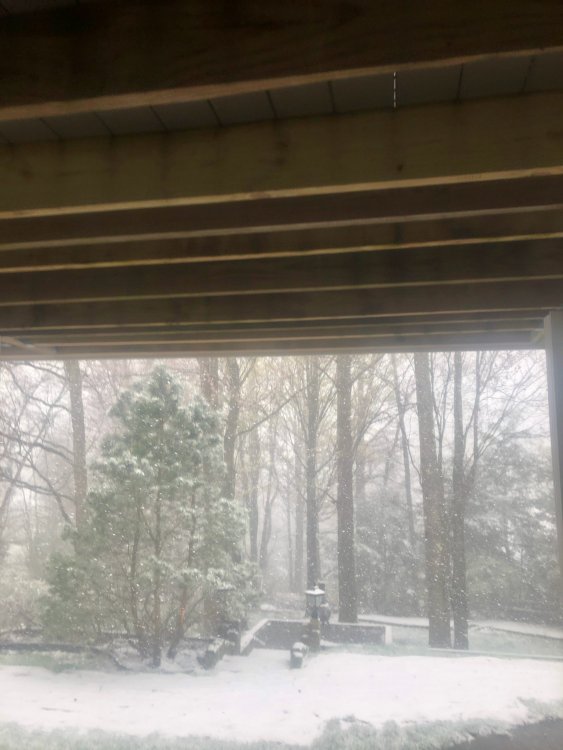
Pack expanding after yesterday! We will take a few more flakes between now and next Tuesday. Love the mood flakes! -
Central PA - Winter 2020/2021 Part 2
Greensnow replied to MAG5035's topic in Upstate New York/Pennsylvania
Pack continues to build up here. Looks like 3" measured with snow still falling. Did not have the melt that the south of 80 crowd had at the end of last week. Being cloudy and below freezing every day is bad for mental health but great for keeping snow on the ground! -
Central PA - Winter 2020/2021 Part 2
Greensnow replied to MAG5035's topic in Upstate New York/Pennsylvania
Under an SPC this AM for 1-3" additional. Have had some flakes in the air at some intensity since roughly 1PM Sunday. Crazy! -
Central PA - Jan 31 to Feb 2 Winter Storm
Greensnow replied to MAG5035's topic in Upstate New York/Pennsylvania
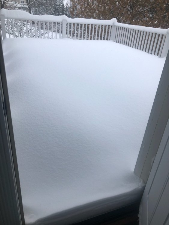
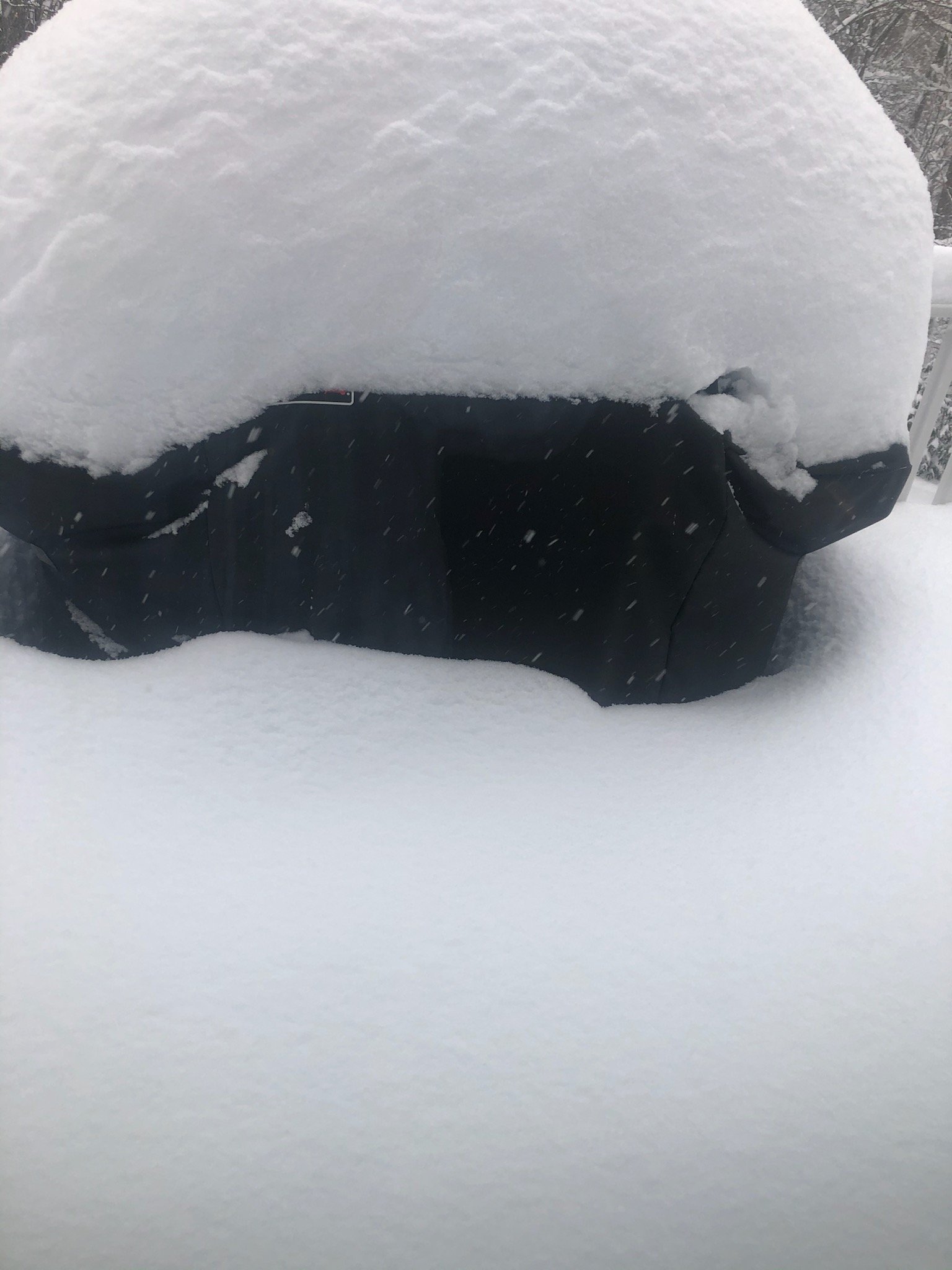
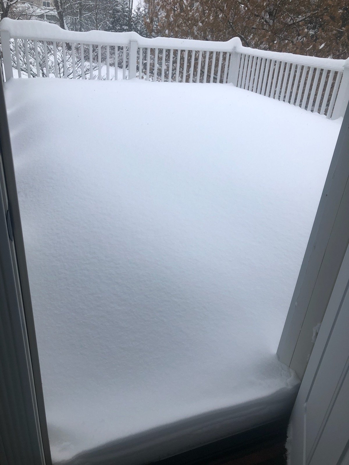
Heavy Band right now. The Energizer Bunny Storm!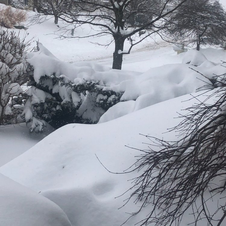
-
Central PA - Jan 31 to Feb 2 Winter Storm
Greensnow replied to MAG5035's topic in Upstate New York/Pennsylvania
Was jealous of the LSV yesterday afternoon when you guys were under those death bands but eventually it set-up over NEPA and crushed from roughly 7:30 to midnight. Under a very heavy band this AM. Most locations are somewhere between 18-24". I am at roughly 20" IMBY.