Greensnow
-
Posts
132 -
Joined
-
Last visited
Content Type
Profiles
Blogs
Forums
American Weather
Media Demo
Store
Gallery
Everything posted by Greensnow
-
Upstate/Eastern New York
Greensnow replied to BuffaloWeather's topic in Upstate New York/Pennsylvania
Spilt time between here and the PA forum as I am in Waverly north of Scranton. My backyard is closer temp and forecast to BGM then AVP. Agree that this is going NW. I learned a valuable lesson in December had a foot but was expecting 24” and BGM got 40”. All good but I thin the 88 corridor is going to get smoked. Seasonal trends. Hey- yesterday I was thinking 4”. -
Central PA - Jan 31 to Feb 2 Winter Storm
Greensnow replied to MAG5035's topic in Upstate New York/Pennsylvania
Wow the Euro upped the ante here. 18 already in ClarksSummit/Clarks Green. Looks like great ratios for this storm! -
Central PA - Jan 31 to Feb 2 Winter Storm
Greensnow replied to MAG5035's topic in Upstate New York/Pennsylvania
BGM- Well, that escalated quickly. Miller-B systems feature one low weakening - in this case in the mid Ohio Valley - and transferring energy to a new coastal low. They are notorious for being very difficult to forecast, and indeed there still remains quite a bit of spread in the models. However, most of them have trended significantly stronger with coastal low development while also keeping it closer to shore as it moves up the coast. -
There are going to be some shocked people in NEPA if this keeps trending as is and does not take a SE jog during the next model suite. BGM has not issued a Watch or Warning and every model shows me with 12"+. Maybe that is good luck!
-
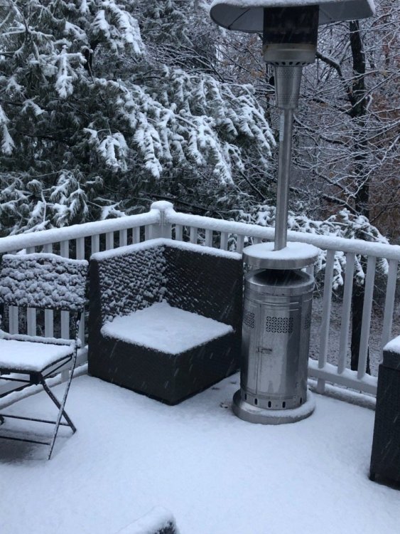
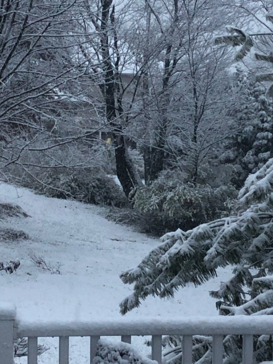
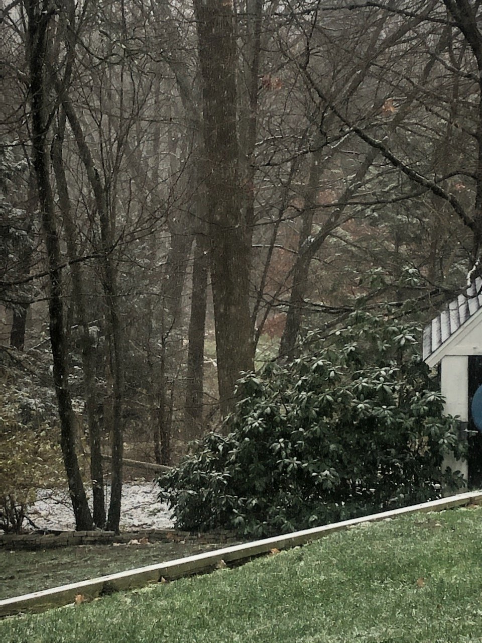
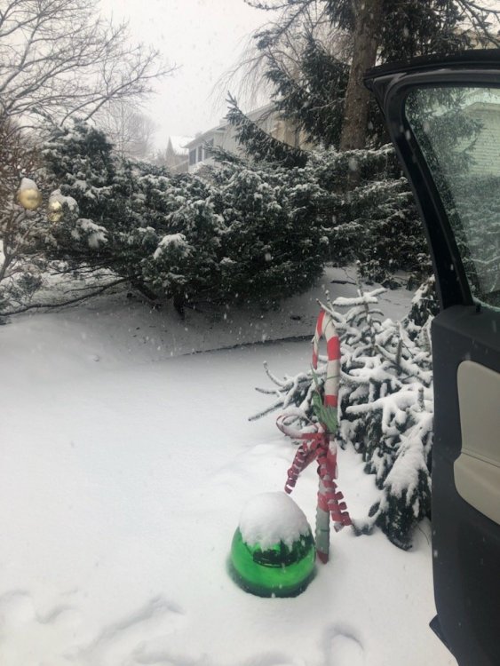
Some good bursts this morning. It has been much better up here than in the lower 2/3 of the state as we have had snow in the air and temps in the low 30s most of the last week. Nothing big with another inch this AM that will be gone by afternoon but it is what it is. Poetic justice would be that the Southern crew cashes in over the next few weeks and I sit in the 20s smoking cirrus! Photo from this AM.
-
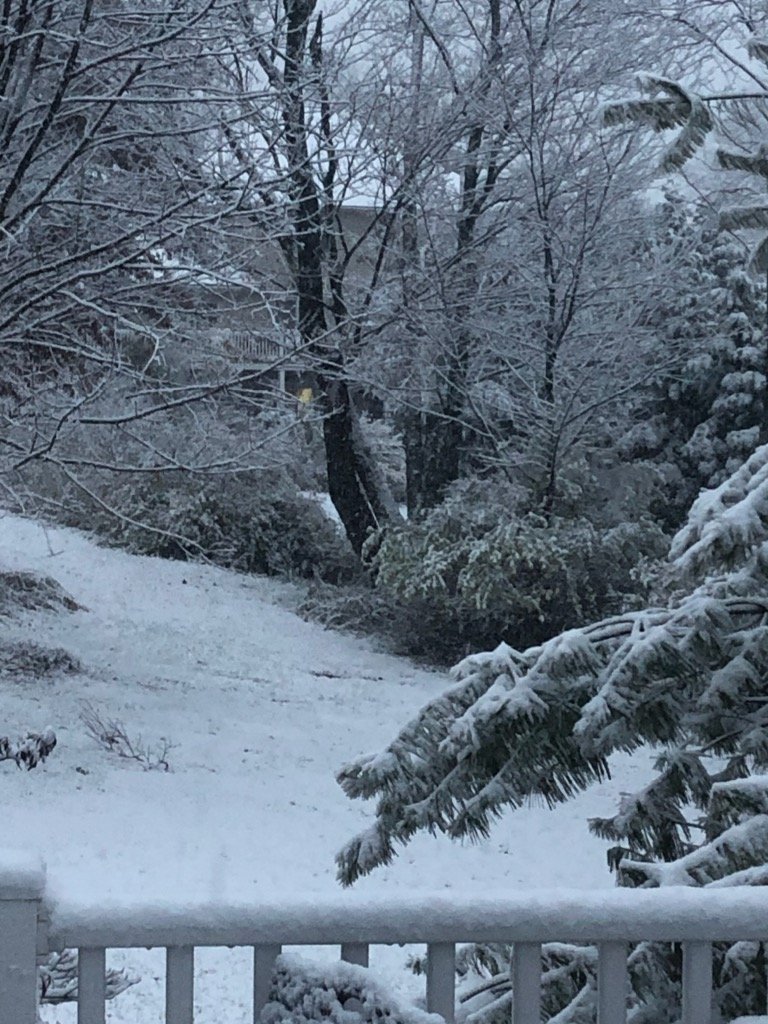
Snow! First real flakes since 1-3. That is a long time without snow in the air up here. Wasn't because it was liquid either just cloudy and dry for 10 days.


-
Nice event up here. We ended up with 6.5" heavy wet snow. Ton of fog this morning.
-
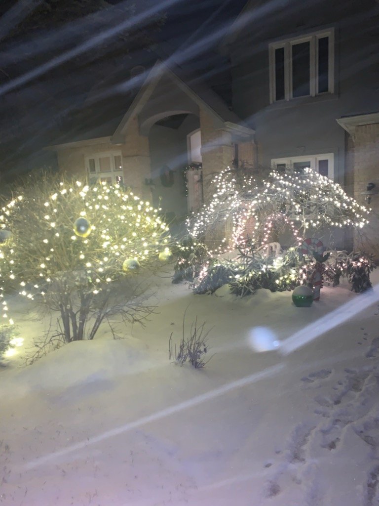
Christmas miracle up here in Clarks Green! Grinch wiped away the pack but heavy snow showers this evening put a quick inch on the ground. Still snowing moderately.

-
Snow on the hill-tops but downtown Scranton had nothing but flakes falling. Looking like a crusher up here in NEPA on Wed/Thurs!
-
First "nice" surprise of 2020! Over performing- likely will get 3" out of this which will at least add to the holiday mood.
-
Susquehanna-Northern Wayne-Wyoming-Lackawanna-Luzerne-Pike- Southern Wayne- 1013 AM EST Wed Dec 9 2020 ...Moderate snow is across the area causing slippery roads... Moderate snow is across much of central New York and northeast Pennsylvania. Snowfall rates are up to 1 inch an hour. Visibilities at times have been reduced to below half a mile. Light to moderate snow will slowly taper off through 1 PM from west to east. Total snowfall amounts could be up to 2 or 3 inches. Roads have become snow covered and slippery even on some highways. Slow down and allow extra time to reach your destination.
-
Light snow and roads quickly covered up here. Now calling for 1-2" with snow showers through the day. Looking forward to upper 40s this weekend!
-
Steady snow showers up here in Clarks Green- 1/2" and 33 degrees.
-
Central PA 2020 Fall - The Hope begins
Greensnow replied to paweather's topic in Upstate New York/Pennsylvania
Light snow showers currently with a dusting on the grass.

-
Central PA 2020 Fall - The Hope begins
Greensnow replied to paweather's topic in Upstate New York/Pennsylvania
And so it begins up here in Clarks Summit