

Interstate
-
Posts
5,889 -
Joined
-
Last visited
Content Type
Profiles
Blogs
Forums
American Weather
Media Demo
Store
Gallery
Everything posted by Interstate
-
I am still seeing all models giving us all 2+ inches between now and Monday
-
Lame here
-
It is funny how much the HHHR can swing in just an hour
-
Also where was all of this in January.
-
Yeah... We do have a rainout date scheduled for Monday... If no pool play, I think they seed you by when you signed up.
-
The problem is they have over 100 teams. That is a lot of fields to get ready. if the GFS is right. They might be playing water polo.
-
Looks like I will be getting my money back for the Stars and Strikes tournament.
-
We will need a ark if the GFS is correct.
-
Yep... Mayo still sucks
-
.45 way more then I expected
-
First time I seen the Models get wetter near game time.
-
To be honest... The NAM has been off it game with NAMing us.
-
That would be bad... That is the Stars and Strikes tournament in Elkridge
-
I still dislike Mayo
-
Looks like Saturday is slipping away from us too.
-
0.39 inches here... .27 coming overnight last night
-
yep and somehow we are only 1.5 games out of the Wildcard
-
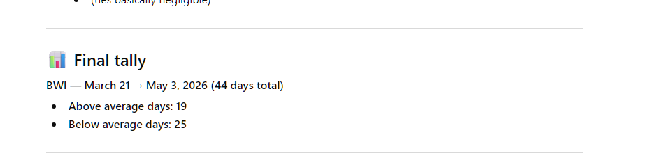
Then yes you are correct if you are using March 1... but I was using the 21st.
-
I did... This is BWI
-
Yes we have had some hot days this spring... but I feel like me have more below average than above average days.
-
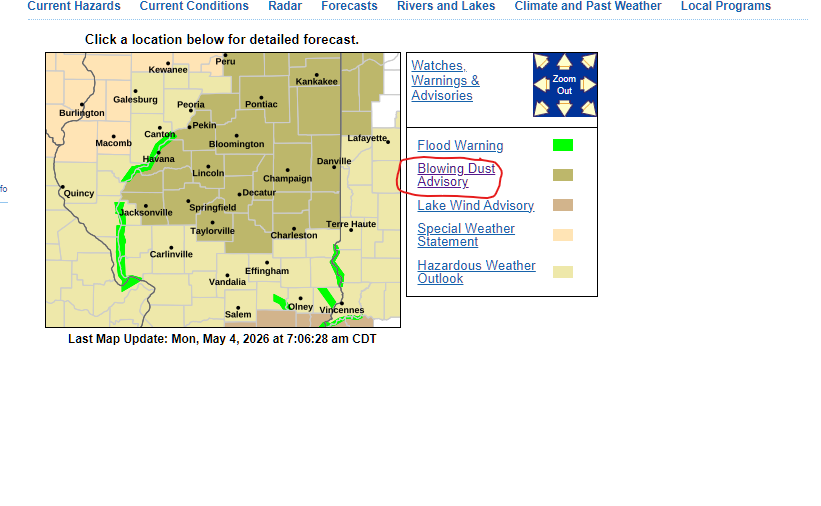
This is a new one for me
-
.71 today for a total of 1.11 since Saturday.
-
Flying now... 38.1
-
31.8 for the low... already back above freezing.
-
77 degrees is August? Am I missing something?


