
Interstate
-
Posts
5,731 -
Joined
-
Last visited
Content Type
Profiles
Blogs
Forums
American Weather
Media Demo
Store
Gallery
Everything posted by Interstate
-
You could not ask for a better half of basketball from MD.
-
Yeah... It is burning off quickly now
-
Yep... Ouch https://weather.cod.edu/satrad/?parms=subregional-Virginias-truecolor-48-1-100-1&checked=map&colorbar=undefined
-
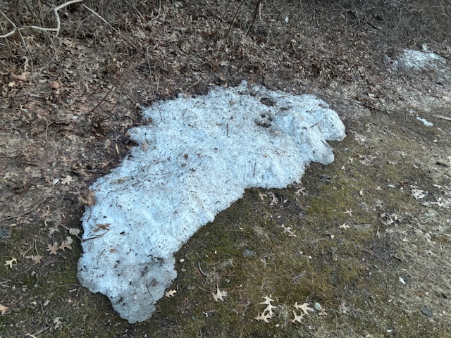
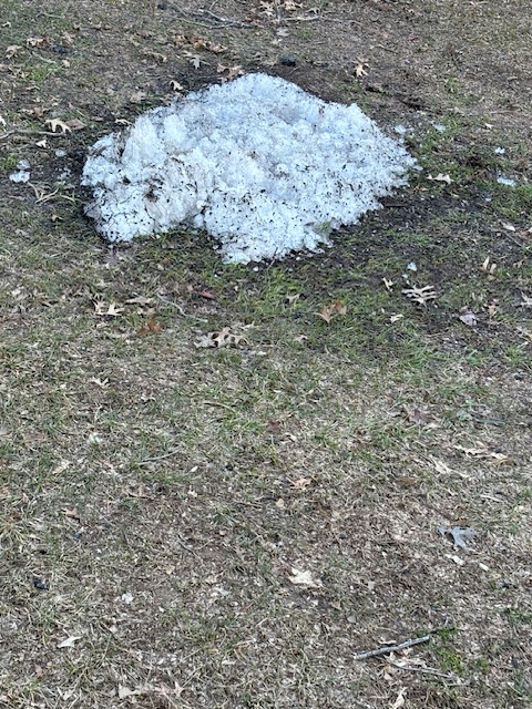
My son had baseball practice in northern harford county and I found this
-
only got to 68.2 yesterday here in 21057
-
When did we as a society get numb to seeing 6 million dollars as not much money. Sports contacts are out of control.
-
The real season starts on Friday.
-
MD up to a 4 seed in most polls
-
Which will turn into Tommy Johns
-
Reese's last game in CP.
-
Yeah that second line fell apart before it reached Baltimore
-
Good thing they have two great big men this year. They have a couple of perimeter players that can come off the bench... but yes very thin.
-
No way this team should be losing to the likes of NW and Washington... Also giving up a 17 point lead to lose on a bank shot 3 pointer. They better bound the crap out of NW this weekend in College Park.
-
Now those Mich St, Ohio St, NW and Washington losses loom big. MD should be the Big Ten Champions.
-
Great win. That should secure the double bye.
-
The squall line coming through Baltimore is no joke. It just blew over my grill.
-
MD is projected to be a 5th seed. I can see them moving up to a 3 seed if they can win the next two and win 2 in the Big Ten tournament.
-
I dont know about that... looks like runoff city to me. We need a soaker... not thunderstorms.
-
Have fun with the frontal passage on Wednesday
-
Huge game for MD tomorrow night... If they win out... They will get the double bye in the Big Ten tournament.
-
or

-
Where was this GFS storm a month ago?
-
Only got down to 23 here in 21057
-
What happened to the soaker of a rainstorm on Wednesday?
-
60.8 for the high. Down to 35.4.


