tavwtby
-
Posts
2,814 -
Joined
-
Last visited
Content Type
Profiles
Blogs
Forums
American Weather
Media Demo
Store
Gallery
Everything posted by tavwtby
-
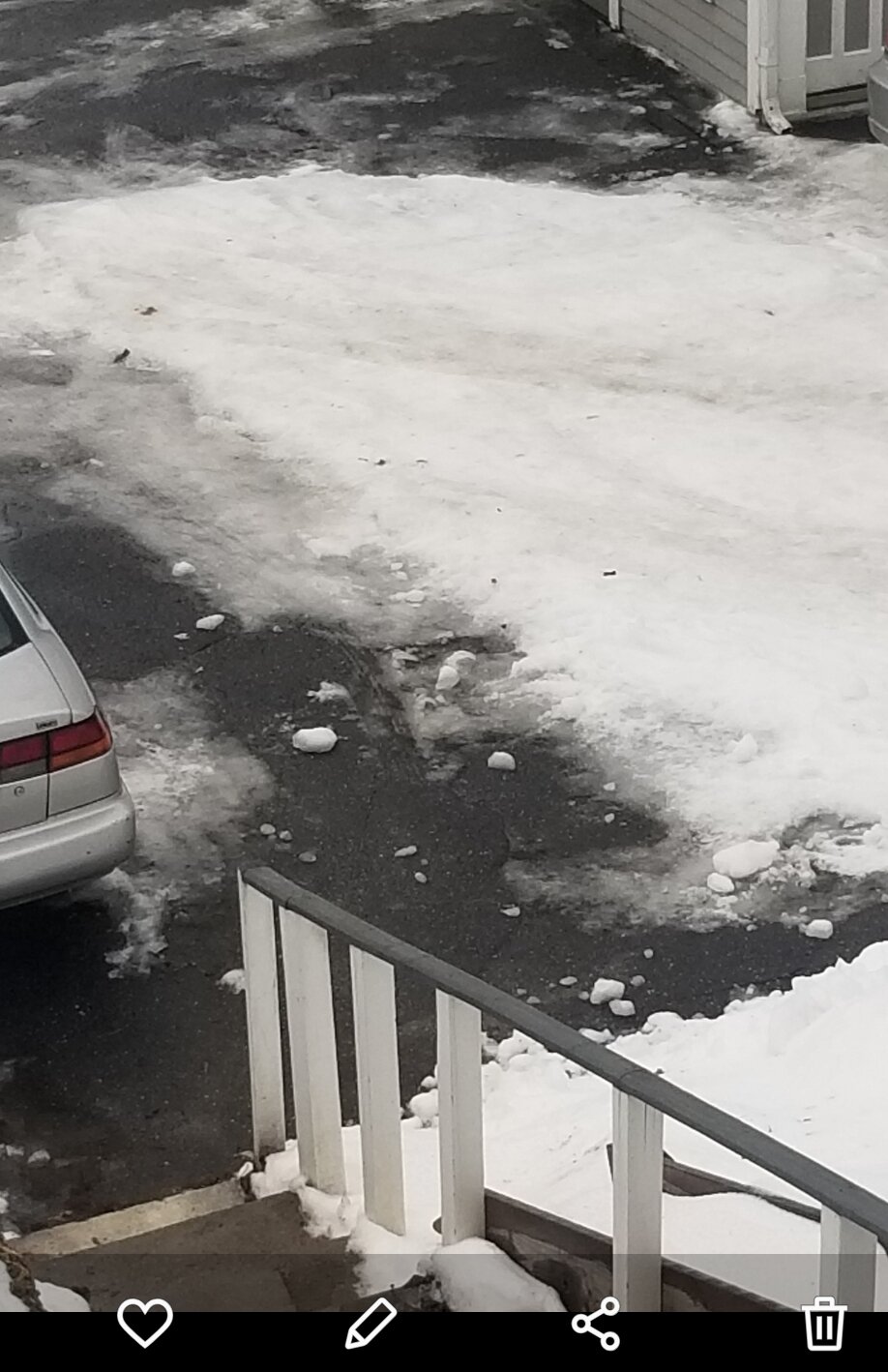
chipping away at this 6" glacier

-
Amazing how 40 degrees feels like 65 after the month we just had, and a the first 40 degree day in autumn feels like below zero, cold rain here, but as I said feels warmer than 40
-
looks good for the NNE ski areas, they need it bad, maybe this will aid in my glacier removal, spent two hours today chipping and shoveling absolute ice, ugh
-
I'll never forget that one in the mid 90s where we got inches of it, after some rain then snow after and brutal cold... maybe 94, but I can remember driving around in it and having a blast, probably a good analog for this one, maybe Will remember that one
-
seems the orientation of the front, if stalled, would be interesting for my area, or at least NW of me, would not want to be going back and forth between warm and cold, we'll see, always looked to be toeing the line here
-
some valley locales will possibly get prolonged ZR in SNE, but looks to me like 925-850 just go above 0C for a few then collapse SE, no?
-
looks like lots of sleet followed by a nice thump of snow, as long as the ZR stay away, I don't care
-
great I'm heading up to marlborough Fri morning, good times on the pike
-
go to military surplus and get ripstop rain gear, stops the wind and water and the best money you'll spend if you have to work in elements, trust
-
I'm guessing the weather outlook hasn't changed, or am I on the obscure topic banter by accident, ffs!
-
ALY hoisted WSW for like Rutland north, has me at .1-.25" of ZR, and less than an inch of snow
-
yeah I'm not liking the ice solutions, believe we'll have more sleet than IP here, then maybe a couple inches on top of SN, but not liking the trends, do like where I am compared to the rest of CT, these SWFEs usually follow a path along 84 with the line, we'll see if the press wins out, hard to forecast these
-
prefer a delmarva eject
-
looks like I'll be toeing the line here, please trend colder cause ice ain't welcome, but I'm afraid seeing ice here maybe in the future, ice to snow before it's done is the worse case scenario for the roads, I wrapped my truck around a pole after rain, flash freeze, then snow on top
-
man if that map was expanded by 75 miles it would have been truly epic for all SNE...odd little 6.5" pocket for Winsted, no way, I reported 5.7, and that was a ton of measurement for avg... regardless, looking like my area N and W are threading the needle between frozen and wet upcoming...
-
yeah the GFS had a sig for days back, just looked at the 1/24 18z run, and other than the SE placement of the SLP, it was pretty close to accurate, even had capture in the gom... but I usually take all model data, at all levels and extrapolate that out to an outcome, and of course having legit mets on here to further explain the mechanics of everything I don't know, is even better...imho, models have not gotten much better in the last decade for the amount of money put into upgrade..one would think with each day or event, data would add to the algorithm to further aid in it's discernment of possible outcomes, to the point it should be able to come close to nailing an event days in advance, but weather an uncertainty etc...
-
all this talking about volcano debris causing cooling in the atmosphere and effects on weather etc, let's mention the crap they've been spraying in the jet stream for years now, apparently to aid in military radio transmission, but who knows, I can say this though, as an aerospace engineer, it's definitely not a contrail and I've seen days forecast for clear skys end up milky white by the time they're done spraying...and they constantly rotate pilots, maintenance crews etc, so they don't work with each other for extended periods of time, that, can have an effect on the weather.
-
Navy..seamen...spunk, I see what you did there
-
I'm assuming that WU uses the GFS to spit out what it thinks will occur, has me getting like 10" from Friday into Saturday???
-
if this doesn't trend colder, and I mean no ice, we still have a relatively favorable stormy looking pattern the next couple weeks from what I see, reinforcement of cold etc
-
I'm down! prime climo incoming
-
was going to be GA, north of ATL, but read last post, explained it, I just missed the dumpster fire on I81 on the way down
-
forgot to mention, that ain't going to happen after all, for now anyway, parents in failing health so I can't do the back and forth for months until I get a permanent residence there, kinda sucks but I can't leave my wife to tend to everything and my boys ain't old enough to manage, driveway glacier case in point, on top of wood for the fireplace, apparently they ran out while I was gone and never said anything, just too much I have to do here, someday I guess
-
just a day so I can chip the glacier away...then back to business
-
I question the warm up too, maybe get to seasonal, but it's also been trending cooler with that as well, we'll see, could actually use a couple days of thaw