

Baroclinic Zone
-
Posts
47,611 -
Joined
-
Last visited
Content Type
Profiles
Blogs
Forums
American Weather
Media Demo
Store
Gallery
Everything posted by Baroclinic Zone
-
Another stellar summer day. Low 80s and low humidity. We take all day.
-
Gorgeous evening Wind has subsided from earlier.
-
Unless your pissing money away irrigating, lawns are toast here.
-
The lack of humidity has been great. Nice warm days and cooler nights. AC has been run sparingly.
-
Can we please keep bringing days like these. Just friggin epic. Cool nights and warm days.
-
Warm start to the day. Mid 80s already.
-
Closest Cocorahs station to my location showing on 2.15” of rain since May 1st. Arid.
-
Lol 71/61 here.
-
88-89F here. Not too bad with low humidity.
-
87F for high. Sitting at a comfy 75F now.
-
Brrrr 39F
-
They're coming.
-
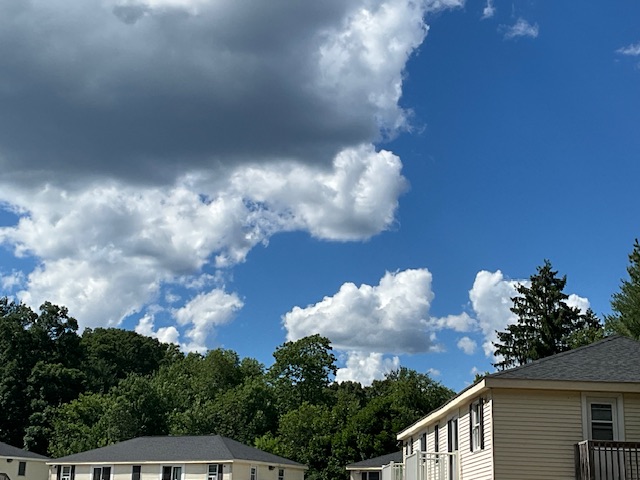
Gorgeous out. Low 70s, dry with some overcast clouds.
-
Screw you. Got a Steiner for rain yesterday and minimal sun, so hoping today turns out better. Has started off great.
-

Anomalous Late Spring storm May 30 2026
Baroclinic Zone replied to HoarfrostHubb's topic in New England
Steiner here. Only about .15” of rain. -
Anomalous Late Spring storm May 30 2026
Baroclinic Zone replied to HoarfrostHubb's topic in New England
Who the eff wants this at the end of May. piss off -
Anomalous Late Spring storm May 30 2026
Baroclinic Zone replied to HoarfrostHubb's topic in New England
Stay safe everyone -
Anomalous Late Spring storm May 30 2026
Baroclinic Zone replied to HoarfrostHubb's topic in New England
Had some boomers last night and a bout of heavy downpours. Not much going on right now. -
Wait for sun to come out will soon be over.
-
At least it’s warm. 70/61
-
The clearing line is like watching paint dry.
-
Noticed Killington still making turns on Superstar. Snow depth look pretty stout too.
-
Incredible force field today.
-
Just look up Stratos Hyperscale Data Center. Horrifying.
-
Sprinkles yesterday


