WxKnurd
-
Posts
1,542 -
Joined
-
Last visited
Content Type
Profiles
Blogs
Forums
American Weather
Media Demo
Store
Gallery
Everything posted by WxKnurd
-

2023-2024 Fall/Winter Mountain Thread
WxKnurd replied to The Alchemist's topic in Southeastern States
Had heavy sleet when it started, little bit of icing on deck and ground. 32 and moderate to heavy rain now. -
2023-2024 Fall/Winter Mountain Thread
WxKnurd replied to The Alchemist's topic in Southeastern States
38 at the house, wind is ripping In Hendersonville area so I’m sure it is at home as well. Might see a few flakes flying when I get home -
2023-2024 Fall/Winter Mountain Thread
WxKnurd replied to The Alchemist's topic in Southeastern States
Found a dusting starting up at the top of my property around 3900’, more in the typical shaded spots. Crisp morning felt good while walking my new pup on her first hike up to the ridgeline. -
2023-2024 Fall/Winter Mountain Thread
WxKnurd replied to The Alchemist's topic in Southeastern States
Was gone all day down in Waynesville and came home to a trace of mix frozen solid. -
2023-2024 Fall/Winter Mountain Thread
WxKnurd replied to The Alchemist's topic in Southeastern States
Flurries to light snow started about 20 minutes ago here, had some decent flake size but now back to the little stuff. -
2023-2024 Fall/Winter Mountain Thread
WxKnurd replied to The Alchemist's topic in Southeastern States
Funky inversion this morning, low-mid 20’s valley, mid 30’s in the say 3600-4000’ range and then back down around 30 above that it seems looking at weather stations in the area. 35 at my place. -
2023-2024 Fall/Winter Mountain Thread
WxKnurd replied to The Alchemist's topic in Southeastern States
Bottomed out at 17, daytime high yesterday was 29. -
2023-2024 Fall/Winter Mountain Thread
WxKnurd replied to The Alchemist's topic in Southeastern States
A dusting on the ground and flurries flying -
2023-2024 Fall/Winter Mountain Thread
WxKnurd replied to The Alchemist's topic in Southeastern States
28 for the low at my place -
2023-2024 Fall/Winter Mountain Thread
WxKnurd replied to The Alchemist's topic in Southeastern States
Crazy, I was 29 to 50 to 42 now. That’s if my station was publishing data all day. -
2023-2024 Fall/Winter Mountain Thread
WxKnurd replied to The Alchemist's topic in Southeastern States
29 degrees with 1.75” of perfect snowball making snow. Only pixie dust flying at my place currently. Now to the torching plains of Charlotte for the work week. -
2023-2024 Fall/Winter Mountain Thread
WxKnurd replied to The Alchemist's topic in Southeastern States
Wind is howling, everything coated and 30 degrees. -
2023-2024 Fall/Winter Mountain Thread
WxKnurd replied to The Alchemist's topic in Southeastern States
Soco and Catalochee getting a good hit today, only flurries and the occasional uptick to light snow at my place thus far. 33 degrees. -
2023-2024 Fall/Winter Mountain Thread
WxKnurd replied to The Alchemist's topic in Southeastern States
Temp dropped quite a bit from midnight to 6 am, been falling slower since. Down to 34. -
2023-2024 Fall/Winter Mountain Thread
WxKnurd replied to The Alchemist's topic in Southeastern States
Made it down to 0.7. -
2023-2024 Fall/Winter Mountain Thread
WxKnurd replied to The Alchemist's topic in Southeastern States
Made it up to 14, the upside (honestly for me it’s a downside outside of getting in and out) of a WSW facing slope. Back down to 9 now. -
2023-2024 Fall/Winter Mountain Thread
WxKnurd replied to The Alchemist's topic in Southeastern States
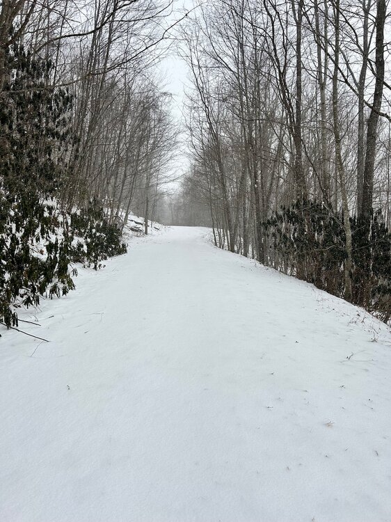
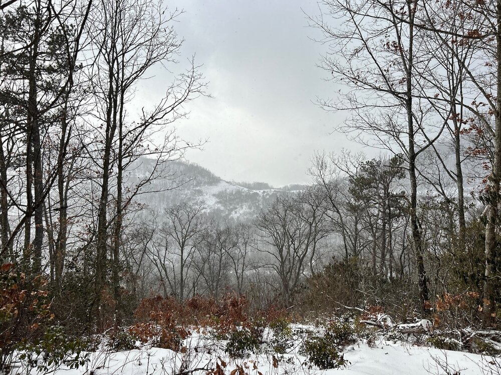
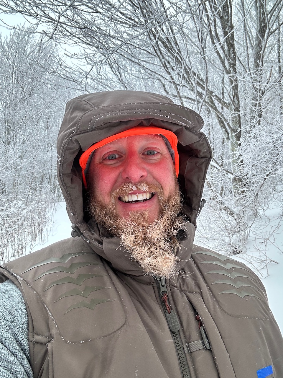
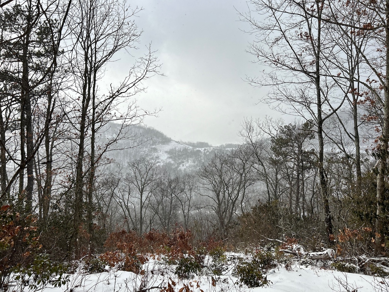
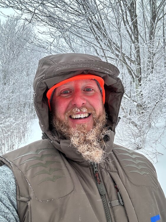
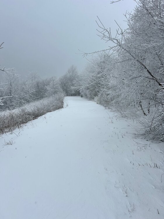
Just finished up a a little hike up above the house, anywhere from 2-6” in non-drift spots, drifts up to my knee about. I’ll just say 4” up top at 4-4100’ for my best guess. Great view of Crabtree Bald this morning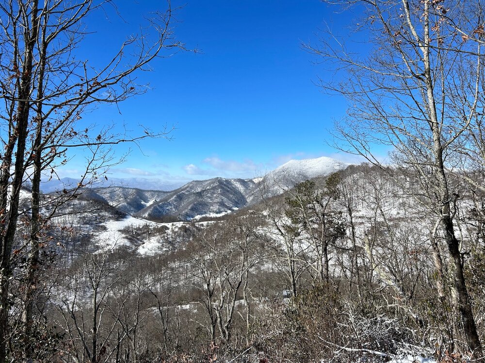
-
2023-2024 Fall/Winter Mountain Thread
WxKnurd replied to The Alchemist's topic in Southeastern States
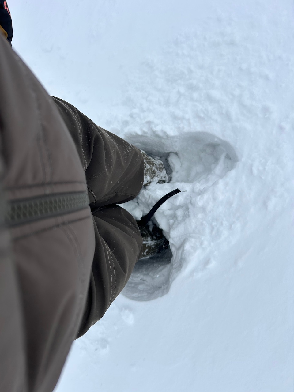
A tick under 3 degrees right now and I’m eyeballing what looks to be 3”. Edit: just measured a hair over an inch of new snow on my truck bed that was clear when I got home so yep, I’m just going to call it 3” for the event barring anything more falls other than the diamond dust that currently is. -
2023-2024 Fall/Winter Mountain Thread
WxKnurd replied to The Alchemist's topic in Southeastern States
13 degrees, 2-2.5” of fresh snow and moderate snow falling. 2.5-3” is probably closer to what officially has fallen today because of the wind earlier whipping it all around but its pure powder and I love it. -
2023-2024 Fall/Winter Mountain Thread
WxKnurd replied to The Alchemist's topic in Southeastern States
You’ve had a great week @Tyler Penland! We need weeks like this to come back more often, no reason this can’t be a multi-week occasion per winter month (I blame the Pacific). -
2023-2024 Fall/Winter Mountain Thread
WxKnurd replied to The Alchemist's topic in Southeastern States
Down in Waynesville enjoying this wintry Friday evening. Pouring snow at the house at 17 degrees though.
-
2023-2024 Fall/Winter Mountain Thread
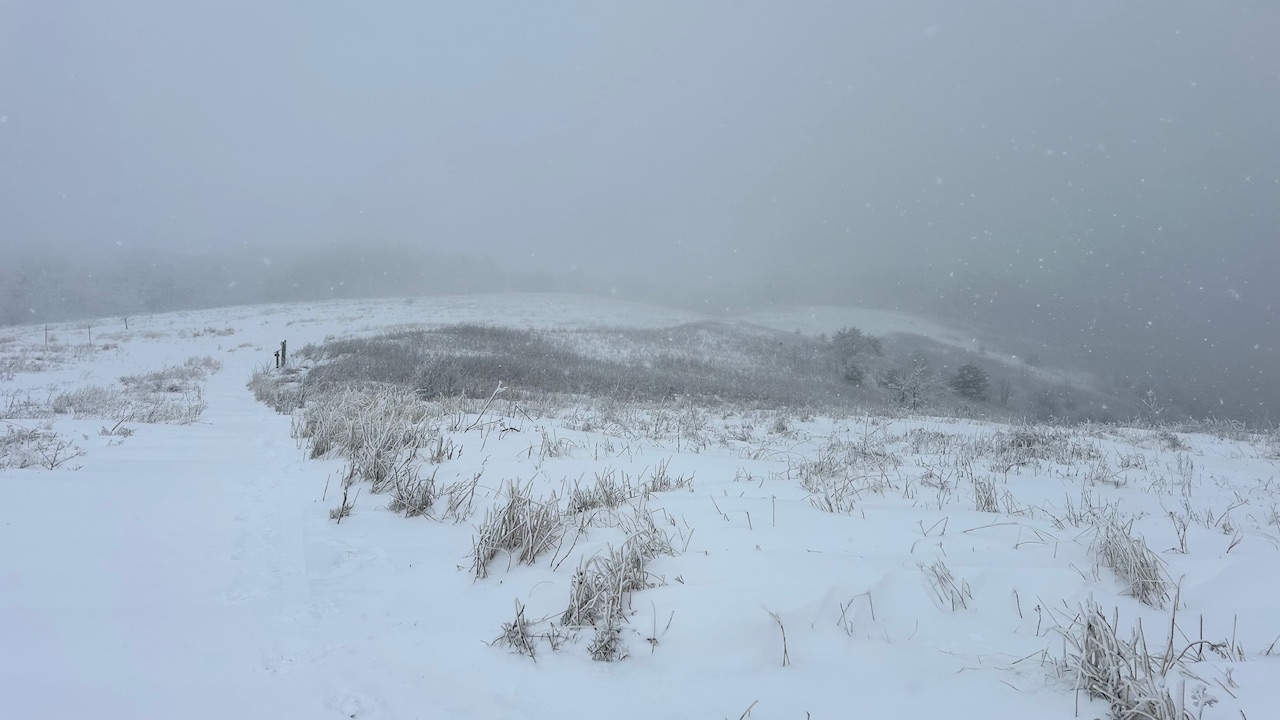
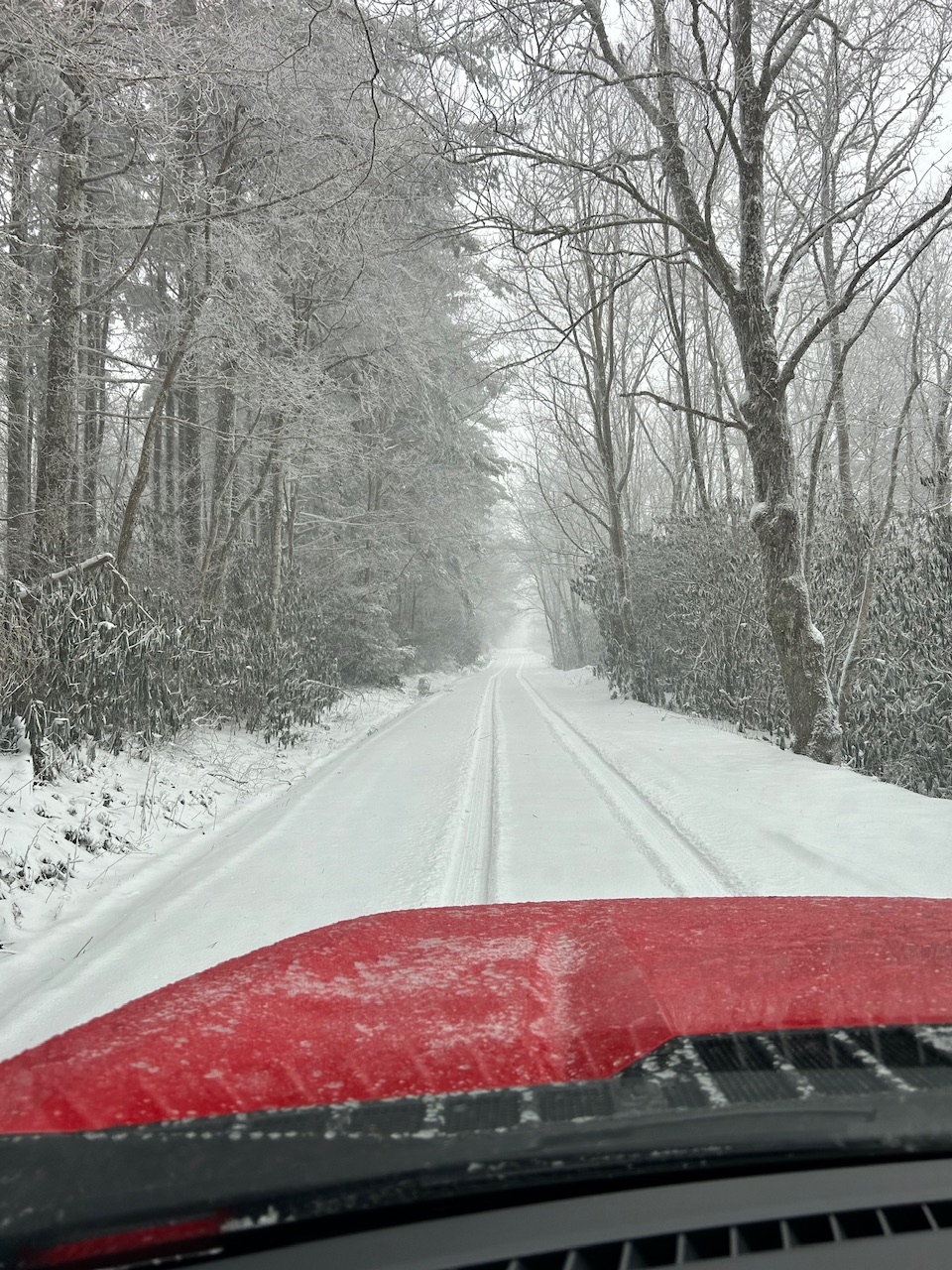
WxKnurd replied to The Alchemist's topic in Southeastern States
Sounds about right, it was definitely 30-40 mph wind sustained on Max Patch summit. Whiteout conditions just from blowing snow. -
2023-2024 Fall/Winter Mountain Thread
WxKnurd replied to The Alchemist's topic in Southeastern States
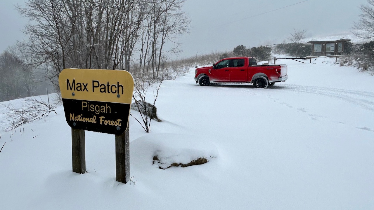
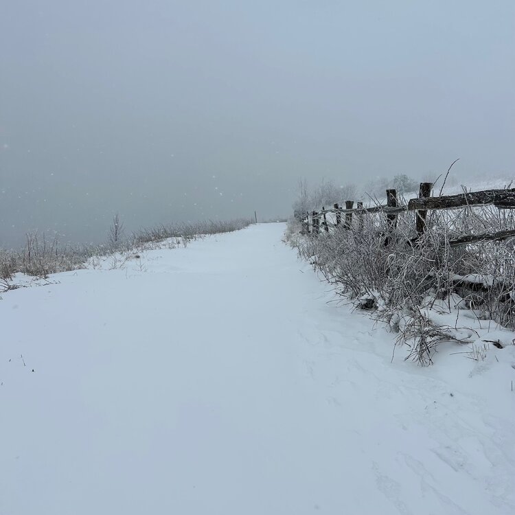
More Max Patch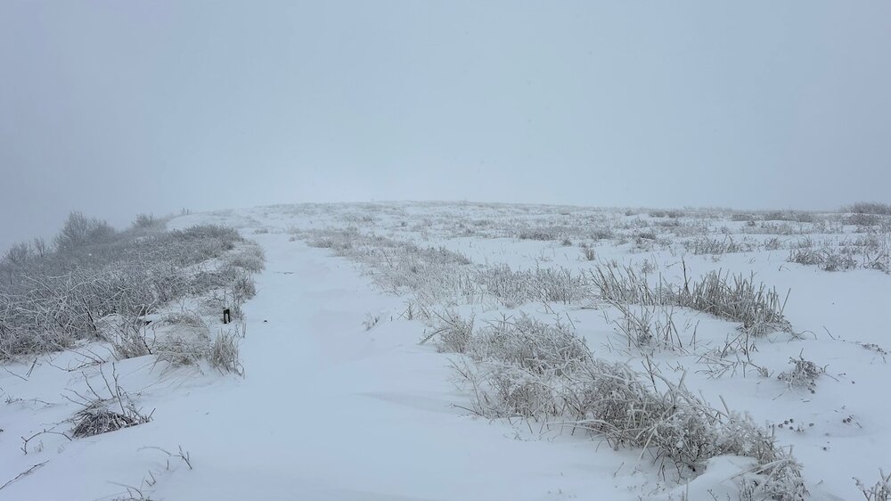


-
2023-2024 Fall/Winter Mountain Thread
WxKnurd replied to The Alchemist's topic in Southeastern States
And now Max Patch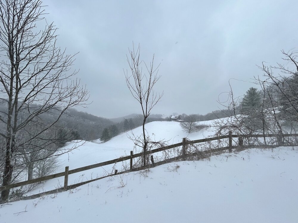

-
2023-2024 Fall/Winter Mountain Thread
WxKnurd replied to The Alchemist's topic in Southeastern States
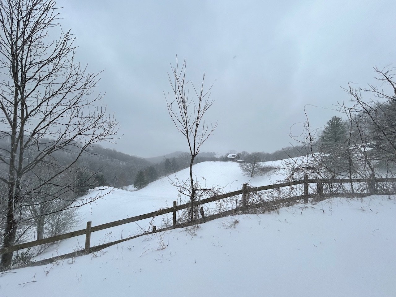
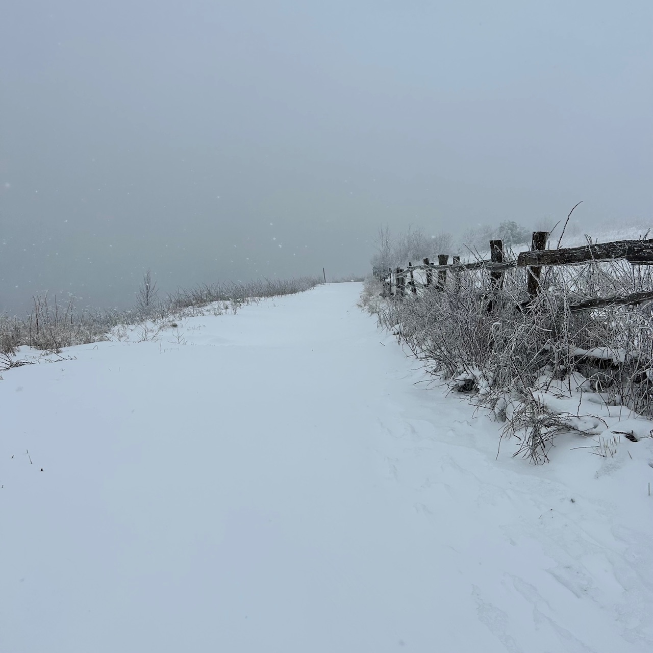
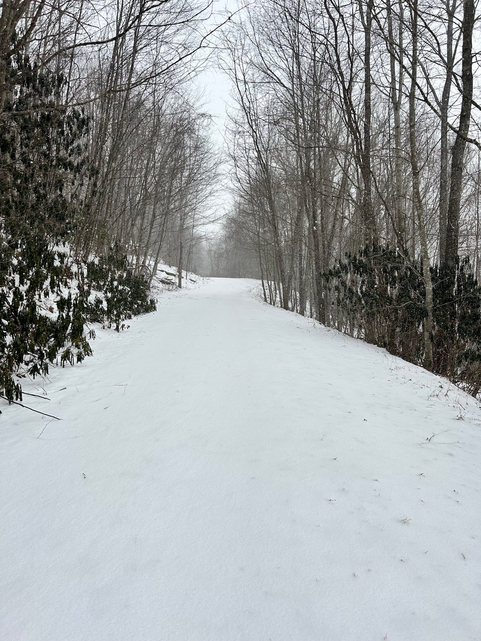
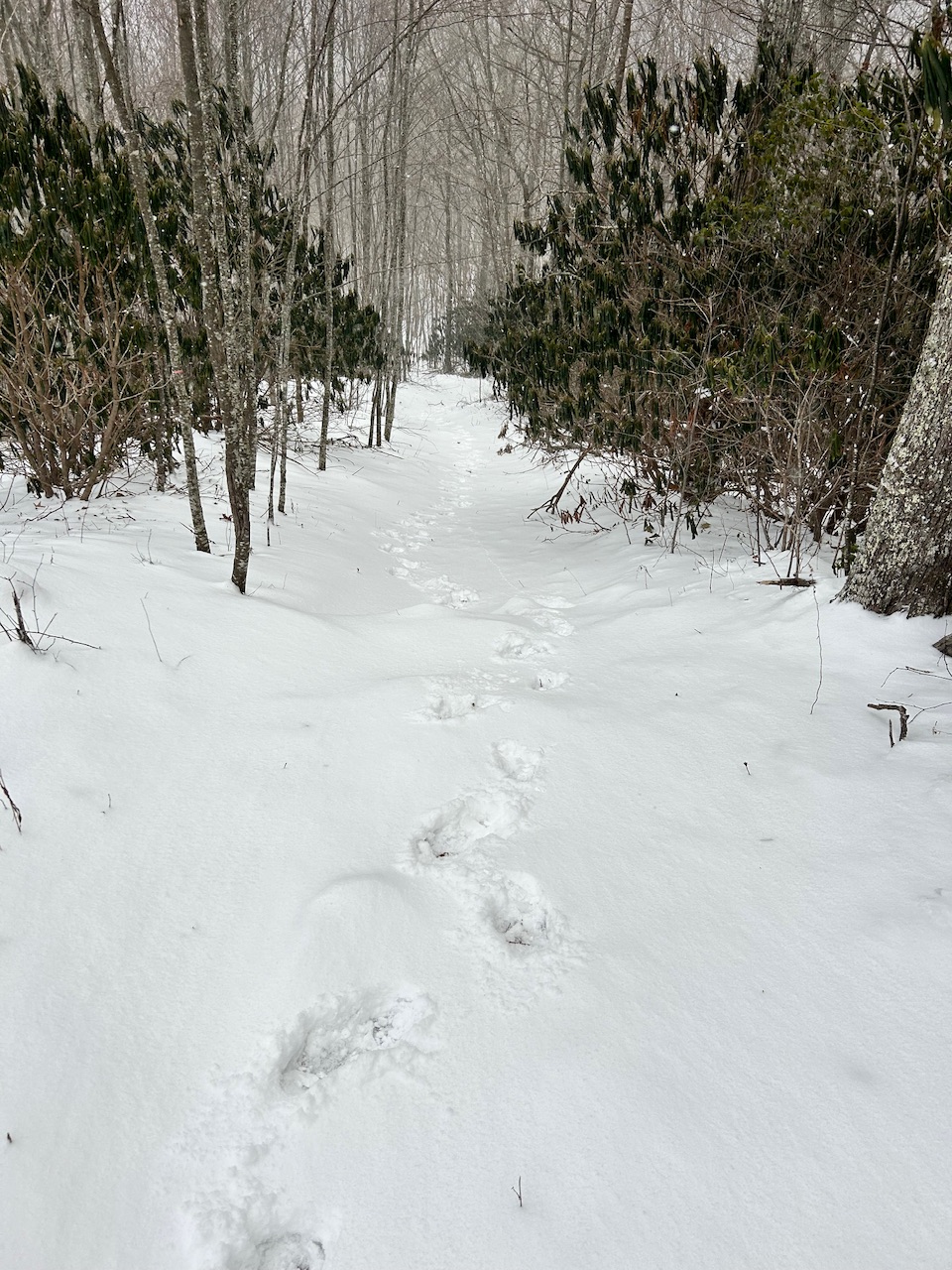
18.7 here and the snow has pretty much been reduced to flurries for now (was coming down good when I got home but didn’t last long into my hike up to the top of the mountain) with the sun wanting to peek out, fully expect some more to get cranked up as we progress into the evening though the way the wind is whipping. I’d say 1-1.5” here thus far, hard to tell because of how much it’s blown around. Would be nice to hit or exceed 3” mark, so we’ll see. Pics from here at home.