pawatch
-
Posts
3,271 -
Joined
-
Last visited
Content Type
Profiles
Blogs
Forums
American Weather
Media Demo
Store
Gallery
Everything posted by pawatch
-

The Ides of March end of Winter 2023
pawatch replied to paweather's topic in Upstate New York/Pennsylvania
41 degrees this morning. We only picked up 0.14” of rain yesterday which is less than they was forecasting. Here is where I have been spending my time. They have been biting.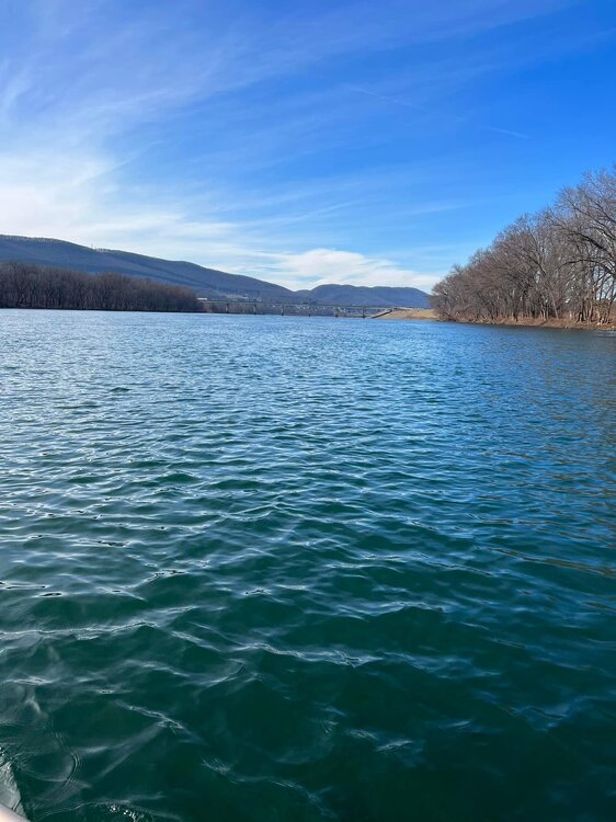
-
The Ides of March end of Winter 2023
pawatch replied to paweather's topic in Upstate New York/Pennsylvania
26 degrees this morning, with a high of 52 today. Lets see what the high ends up being. High yesterday was 39 degrees. With the wind it was just cold.
-
The Ides of March end of Winter 2023
pawatch replied to paweather's topic in Upstate New York/Pennsylvania
23 and windy again this morning, with a few stray snow flurries. Suppose to hit the 60’s on Tuesday. -
The Ides of March end of Winter 2023
pawatch replied to paweather's topic in Upstate New York/Pennsylvania
25 degrees this morning,suppose to hit 57 today. Sure glad to get rid of the winds -
The Ides of March end of Winter 2023
pawatch replied to paweather's topic in Upstate New York/Pennsylvania
Not really sure, some of them northern places don’t actually post snow information. -
The Ides of March end of Winter 2023
pawatch replied to paweather's topic in Upstate New York/Pennsylvania
That system was pretty much an under achiever. Nothing really laid on road surfaces. Some snow on the grass, but not much. Was raining at 10:00 pm last night. Currently 33 degrees with some wind. On to the next system. -
The Ides of March end of Winter 2023
pawatch replied to paweather's topic in Upstate New York/Pennsylvania
About 1/4” of slop here. Currently light rain. -
The Ides of March end of Winter 2023
pawatch replied to paweather's topic in Upstate New York/Pennsylvania
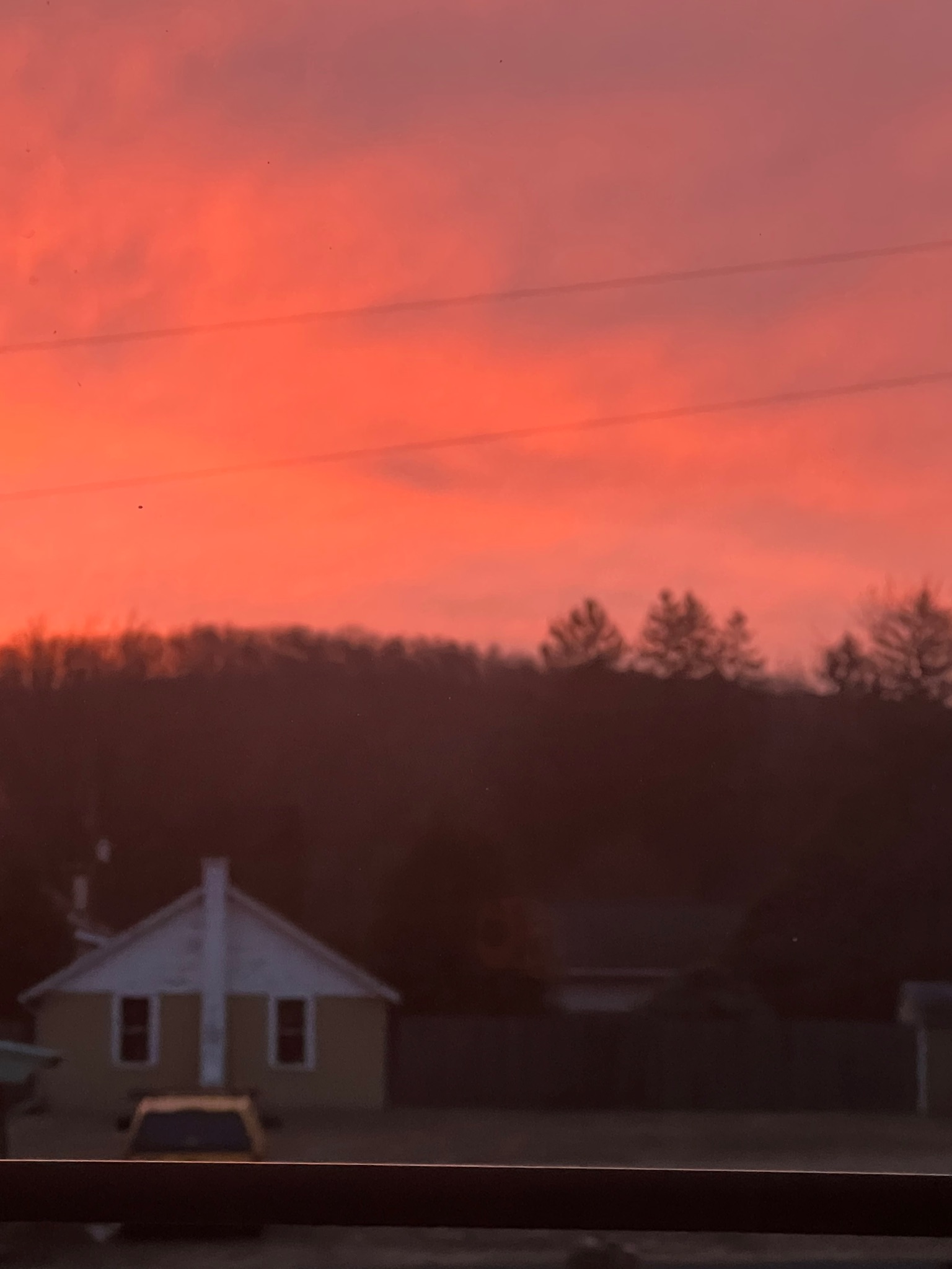
Red in the morning sailors take warning. 31 degrees this morning.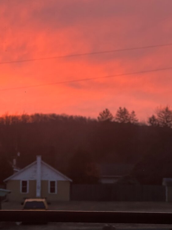
-
The Ides of March end of Winter 2023
pawatch replied to paweather's topic in Upstate New York/Pennsylvania
25 degrees this morning. Totals for tomorrow seem to be all over. 1-2, 2-4, 4-6 “ -
The Ides of March end of Winter 2023
pawatch replied to paweather's topic in Upstate New York/Pennsylvania
33 and real windy this morning. That storm yesterday caused more problems than usual. A lot of down power lines, along with downed trees. A lot of places was without power. Good to see the pattern change! -
The Ides of March end of Winter 2023
pawatch replied to paweather's topic in Upstate New York/Pennsylvania
They have all been rain snow mixes this season. Not great for cleaning up but at least some snow. -
The Ides of March end of Winter 2023
pawatch replied to paweather's topic in Upstate New York/Pennsylvania
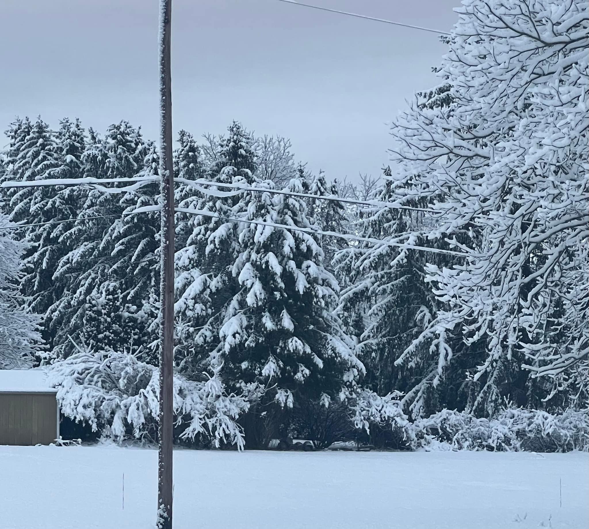
5” of snow here. Snow is sticking to everything.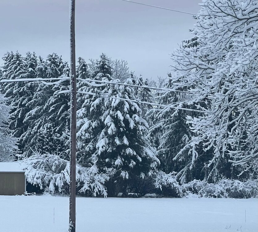
-
The Ides of March end of Winter 2023
pawatch replied to paweather's topic in Upstate New York/Pennsylvania
I see that they upped that overnight. Was snow but no accumulation Thanks Mag -
The Ides of March end of Winter 2023
pawatch replied to paweather's topic in Upstate New York/Pennsylvania
0.74” of rain overnight, 37 degrees -
The Ides of March end of Winter 2023
pawatch replied to paweather's topic in Upstate New York/Pennsylvania
The way the wind has been you better keep him on a retainer. -
The Ides of March end of Winter 2023
pawatch replied to paweather's topic in Upstate New York/Pennsylvania
Rain, sleet and wind. 34 degrees. Had some snow flurries but changed to rain/sleet. Looks like New York State is going to stay snow looking at the radar. -
The Ides of March end of Winter 2023
pawatch replied to paweather's topic in Upstate New York/Pennsylvania
You get Wes to stop in here and give us a pep talk. Tell him to make it snow. -
Central PA Winter 2022/2023
pawatch replied to Blizzard of 93's topic in Upstate New York/Pennsylvania
22 degrees this morning. Friday when we have precipitation it will be 40 degrees. No blocking... The Nam looks ugly. -
Central PA Winter 2022/2023
pawatch replied to Blizzard of 93's topic in Upstate New York/Pennsylvania
1.3” of snow till it all got obliterated to paste. Still raining this morning, roadways are bare. This storm follows the same pattern for the season. Currently 35 degrees, At one point last evening 40 degrees. -
Central PA Winter 2022/2023
pawatch replied to Blizzard of 93's topic in Upstate New York/Pennsylvania
Ended up with 1.2” of snow yesterday morning. It ended up all gone by mid afternoon. Wasn’t really expecting the snow yesterday morning. 17 degrees this morning. Off to a cold start. -
Central PA Winter 2022/2023
pawatch replied to Blizzard of 93's topic in Upstate New York/Pennsylvania
Accumulating at fairly good rate.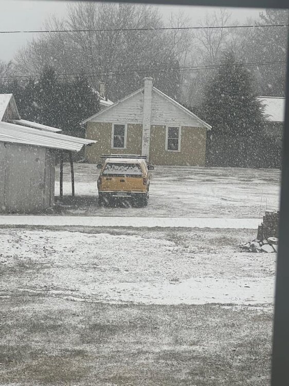
-
Central PA Winter 2022/2023
pawatch replied to Blizzard of 93's topic in Upstate New York/Pennsylvania
23 Degrees this morning. Chance of light snow today. Hmmm Edit: currently snow and sleet. With the temp definitely laying on the roads. -
Central PA Winter 2022/2023
pawatch replied to Blizzard of 93's topic in Upstate New York/Pennsylvania
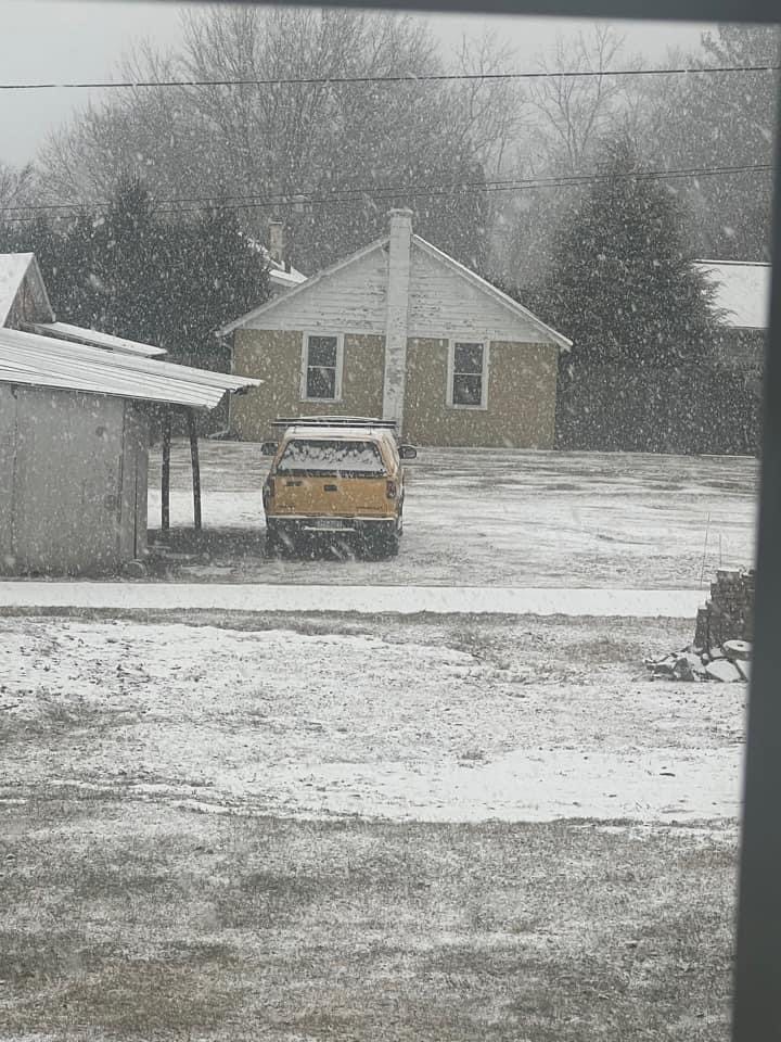
Big flakes and kinda a surprise.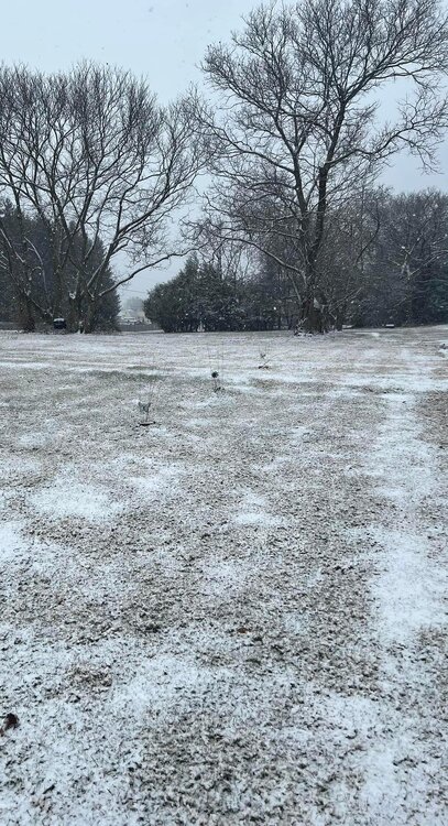
-
Central PA Winter 2022/2023
pawatch replied to Blizzard of 93's topic in Upstate New York/Pennsylvania
Is it laying on the road surface Mag? -
Central PA Winter 2022/2023
pawatch replied to Blizzard of 93's topic in Upstate New York/Pennsylvania
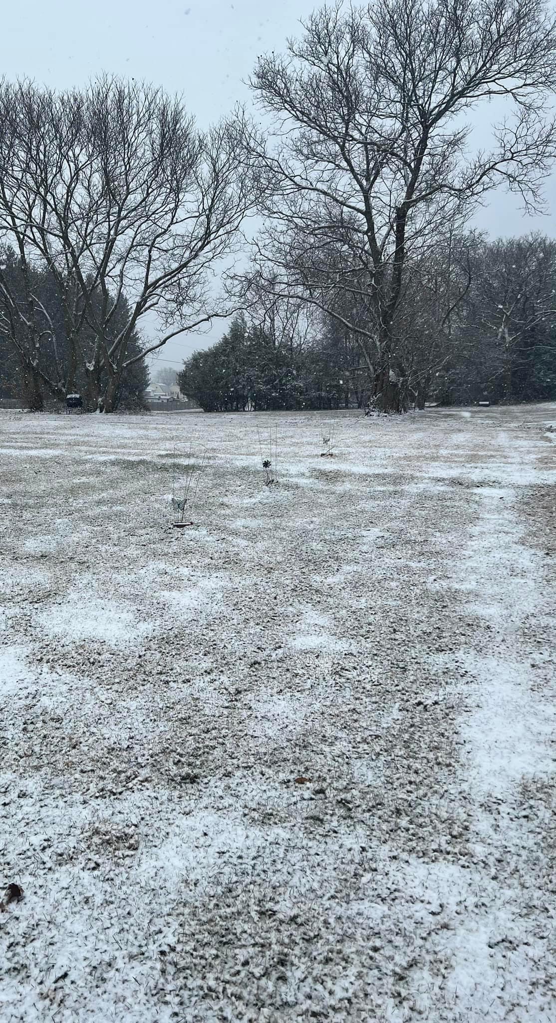
Snow flurries here, 32 degrees