
Baum
-
Posts
4,524 -
Joined
-
Last visited
Content Type
Profiles
Blogs
Forums
American Weather
Media Demo
Store
Gallery
Everything posted by Baum
-
as they say,"if the ships going down your going to come with me." post. Cary's congratulatory tone to those in the bullseyes was all BS. Every true snow weenie knows it.
-
i'm okay with it.
-
stole my programming. But love the new avatar. As they say, "shock me" or is it "snowblind"?
-
No worries. I have another one ready in the event of the inevitable.
-
As long as that band is modeled within 50-100 miles,esp SE, I refuse to bail. Way too many times seen those LP's coming up like that pull NW or throw moisture further back than modeled. Prepared to go down with the ship, as they say. It's not all models, to me. Climo and history play a part as well. Suspect the NAM will cave southeast as well here soon. But until I see the whites of it's eyes on radar presentation tommorow morning going to have stay the course.
-
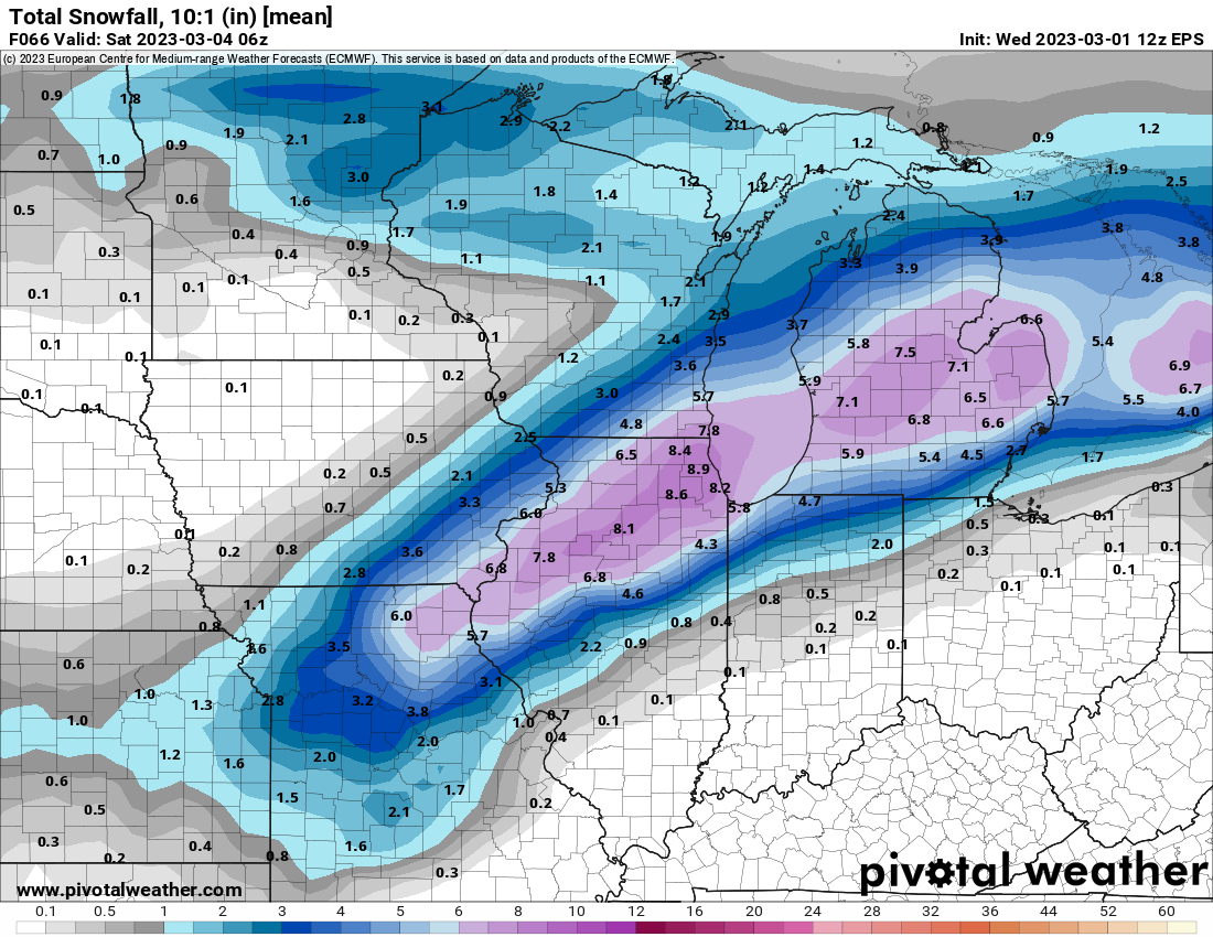
post 12Z model update:

-
memories of a march storm in the 1990's comes to mind. Call was for 1-2" on grassy areas. By mid day parachutes were falling with thunder and got about 6-8" in several hours. One of my favorite busts. Has all the earmarks.
-
.png.197bd6b2221bfb6f66a43f65e6ad29d4.png)
-
from Northern Ind. office: WHERE SNOW FALLS FRIDAY, RATES COULD REACH 3" PER HOUR.
-
there it is. running late today.
-
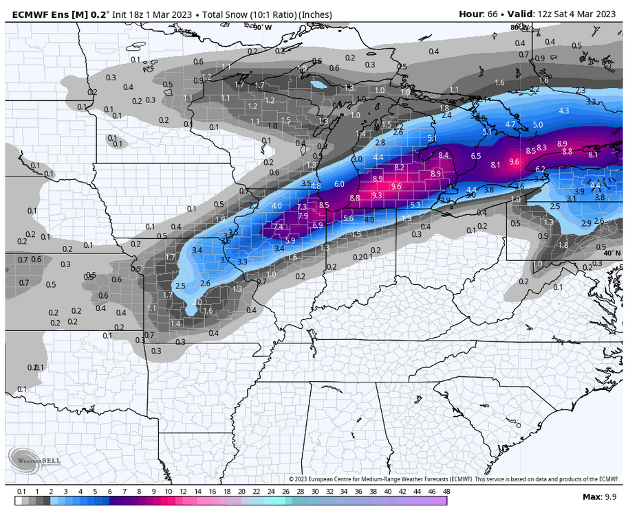
overnight update:

-
-
.thumb.png.f5cb2841386ee07e4f97b29acdf32011.png)
-
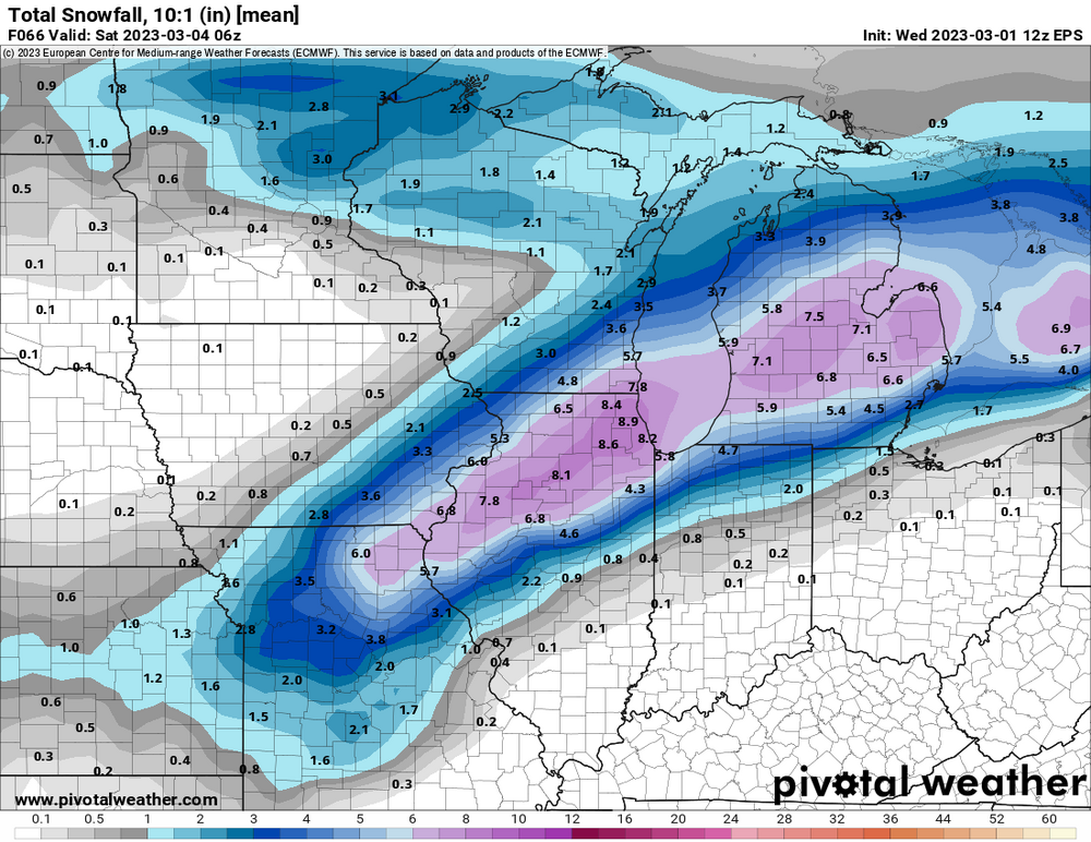
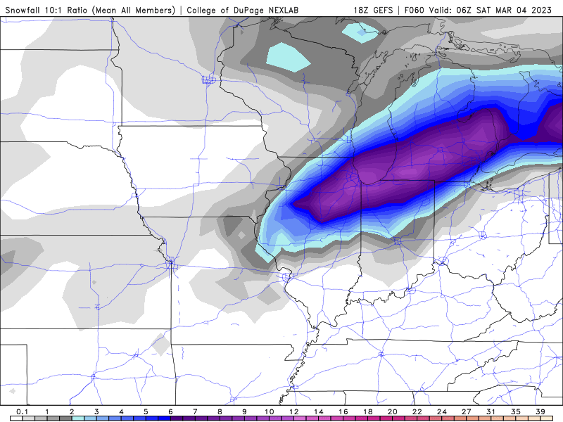
-
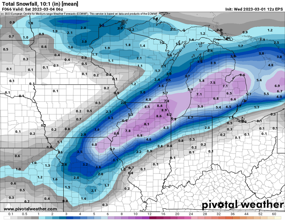
not to take away from your post but I believe the GFS consensus from a day ago is now where the Euro consensus is today.
-
can't resist. Post 12Z model update:

-
People are scared is all.
-
for the naysayers: https://wgntv.com/weather/weather-blog/the-major-st-valentines-day-snowstorm-of-1990/
-

-
compromise solution:

-
it works since I think this is a 5-10" heavy wet snow on a classic axis of KC-CHGO-DET.
-
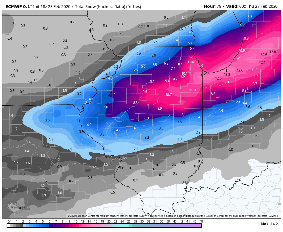
5-10" heavy wet snowstorms that bisect the Chicago metro are standard fare in late winter and early spring. One of my favorite cement events:

-
post 12Z runs:

-
the Baum Model at 06Z: consistent, to say the least.

-
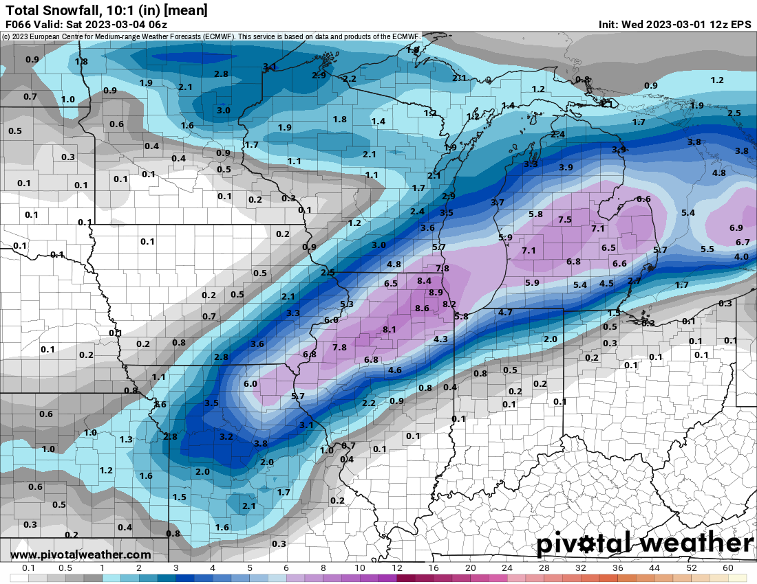
Post 12 Z model run update:





.png.9c8abed2cdac250c5fc8102c1c3ee196.png)