.webp.70c18861c39c8ef8c4811e598978da45.webp)

CurlyHeadBarrett
-
Posts
827 -
Joined
-
Last visited
Content Type
Profiles
Blogs
Forums
American Weather
Media Demo
Store
Gallery
Posts posted by CurlyHeadBarrett
-
-
2 hours ago, Ed, snow and hurricane fan said:
If a tree falls in the forest...
EDIT TO ADD: EURO ensembles similar to the GFS ensembles, with systems entering the Caribbean at 9 or 10 days.
It's jova
1. Southwestern Gulf of Mexico (AL93):
Disorganized showers and thunderstorms continue in association with
a low pressure area centered just off of the coast of Mexico near
La Pesca.  The low is expected to move inland within the next few
hours, and the chance of tropical cyclone formation is decreasing.
Regardless of development, heavy rainfall is likely to continue
through tonight across portions of northeastern Mexico, leading to
localized flooding.
* Formation chance through 48 hours...low...10 percent.
* Formation chance through 7 days...low...10 percent.
-
1 hour ago, Ed, snow and hurricane fan said:
If a tree falls in the forest...
EDIT TO ADD: EURO ensembles similar to the GFS ensembles, with systems entering the Caribbean at 9 or 10 days.
FR Beryl might unironically mog

-
1 hour ago, Ed, snow and hurricane fan said:
GFS ensembles suggest another 93L, starting deep in the BoC in 2 days. By six days, a few weak Atlantic lows are approaching the Caribbean. Almost all die over in the Caribbean.
So it never began for them anyway?
-
2 hours ago, GaWx said:Tropical Weather Outlook
NWS National Hurricane Center Miami FL
800 AM EDT Sun Jun 23 2024
For the North Atlantic...Caribbean Sea and the Gulf of Mexico:
1. Southwestern Gulf of Mexico (AL93):
Disorganized showers and thunderstorms continue in association with
a broad area of low pressure located about 90 miles northeast of
Tampico, Mexico. Some slight additional development of this system
is possible, and a short-lived tropical depression could form before
it reaches the coast of northeastern Mexico tonight. Regardless of
development, heavy rainfall could cause localized flooding across
portions of northeastern Mexico and Deep South Texas during the next
day or so. An Air Force Reserve Unit Hurricane Hunter aircraft is
currently enroute to investigate the system.
* Formation chance through 48 hours...medium...40 percent.
* Formation chance through 7 days...medium...40 percentJFL it never began for 93L
It’s so jova
Tropical Weather Outlook
NWS National Hurricane Center Miami FL
200 PM EDT Sun Jun 23 2024
For the North Atlantic...Caribbean Sea and the Gulf of Mexico:
Southwestern Gulf of Mexico (AL93):
Disorganized showers and thunderstorms continue in association with
a low pressure area centered about 20 miles southeast of La Pesca,
Mexico. The low is expected to move inland within the next few
hours, and the chance of tropical cyclone formation is decreasing.
Regardless of development, heavy rainfall is likely to continue
through tonight across portions of northeastern Mexico, leading to
localized flooding.
* Formation chance through 48 hours...low...20 percent.
* Formation chance through 7 days...low...20 percent.
$$
Forecaster Hagen/Pasch -
3 hours ago, CurlyHeadBarrett said:
Jfl no way is 93l getting named
mogged by the dry air and wind shear
sal likely will mog any waves coming off Africa for the next few weeks correct me if I am wrong
Pack it up, it's jova

Southwestern Gulf of Mexico (AL93):
Updated: Reports from an Air Force Reserve Hurricane Hunter
aircraft show that the broad low pressure area over the southwestern
Gulf of Mexico does not have a well-defined circulation.
Environmental conditions appear to have become a little more
marginal for development of this system as it moves slowly
northwestward, but a tropical depression could still form before the
system reaches the coast of northeastern Mexico Sunday night.
Regardless of development, heavy rainfall is likely to cause
localized flooding across portions of northeastern Mexico and Deep
South Texas through the end of the weekend.  Another Air Force
Reserve Hurricane Hunter aircraft is scheduled to investigate the
system on Sunday, if necessary.
* Formation chance through 48 hours...medium...40 percent.
* Formation chance through 7 days...medium...40 percent.
-
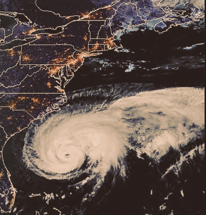
Looks ethereal
-
Jfl no way is 93l getting named
mogged by the dry air and wind shear
sal likely will mog any waves coming off Africa for the next few weeks correct me if I am wrong
-
5 minutes ago, Ed, snow and hurricane fan said:
because it looks like him, except the lips are more exaggerated.
I exaggerated them
-
 1
1
-
-
22 hours ago, Ed, snow and hurricane fan said:
This is @GaWx, he was on this a week ago, I'll do the threat for 93L, Hijo de Alberto, which probably never gets named. Which may not even be an invest.
Is that Steven Tyler through a filter?
You spotted it first, you should start a new thread when you think it is appropriate.
Yes it is Steven Tyler how did you work it out
-
1
-
-
9 minutes ago, Ed, snow and hurricane fan said:
Does this deserve a 92L thread? It doesn't look great on satellite, but something is trying to happen.
do it
-
8 hours ago, PhiEaglesfan712 said:
It's way too early to tell. 2026-27 could be a 3rd year la nina, a developing el nino, or even an enso neutral season.
Here are the TS/H/M stats for all years 2 following the first year of a multi-year la nina:
1951 (developing moderate el nino): 12/8/3
1956 (3rd year la nina, weak): 12/4/1
1972 (developing super el nino): 7/3/0
1975 (3rd year la nina, strong): 9/6/3
1985 (enso neutral): 11/7/3
1990 (enso neutral): 14/8/1
2000 (3rd year la nina, weak): 15/8/3
2009 (developing strong el nino): 9/3/2
2012 (enso neutral): 19/10/2
2018 (developing weak el nino): 15/8/2
2022 (3rd year la nina, moderate): 14/8/2
Aside from 2012, a lot of average to below average seasons, even the ones that are a la nina. It seems like the enso neutral seasons overperform.
All seem tame
-
1 hour ago, Stormchaserchuck1 said:
If we keep the warm water temperatures up, it should be getting more active. About a month ago the -PDO region south of the Aleutian islands hit +5c anomalies, which made the Atlantic record temperatures look small in comparison. I don't see why the warming trend through the years shouldn't continue.. at some point, there will be an attempt to go back to -AMO,.. but for the next few years the -PDO and +AMO which are long term states, and take some time to wane being as they are near their peaks, should keep the Atlantic active.
So seasons like 2014 are a thing of the past?
-
29 minutes ago, Stormchaserchuck1 said:
Probably, it's tough to say. Average activity is still increasing, as is the AMO.
Do you think 2026 is gonna be a snoozefest in the atlantic?
-
6 hours ago, Stormchaserchuck1 said:
The La Nina might not be a multi-year event. La Nina years favor more activity than non-La Nina years.
So less active then
-
1 hour ago, Stormchaserchuck1 said:
I kind of think it takes some time for SSTs to saturate. Below the surface it's probably not as warm as immediately on the surface. If we sustain these temperatures for the next 1-3 years, hurricanes could see an uptick, but it might be too early to make a huge major difference this year. If SSTs were really as warm in January as they usually are in July, we probably would have seen a storm by now..
so they might be more powerful than this year’s?
-
I wonder what the 2025 Atlantic hurricane season would be like if this year is gonna be a big one
-
On 3/22/2024 at 7:34 PM, Normandy said:
Otis is easily one of the wildest hurricanes I’ve seen. The damage it did in the small amount of time was something else. Hopefully the city is on their way to a fast recovery
Jova > Otis any day
-
2024 Atlantic Hurricane Season
in Tropical Headquarters
Posted
What do you think is the first named storm in August?