WeatherQ
-
Posts
175 -
Joined
-
Last visited
Content Type
Profiles
Blogs
Forums
American Weather
Media Demo
Store
Gallery
Everything posted by WeatherQ
-
Jan 19th Snow on Snow: the this always works until it doesn't thread
WeatherQ replied to psuhoffman's topic in Mid Atlantic
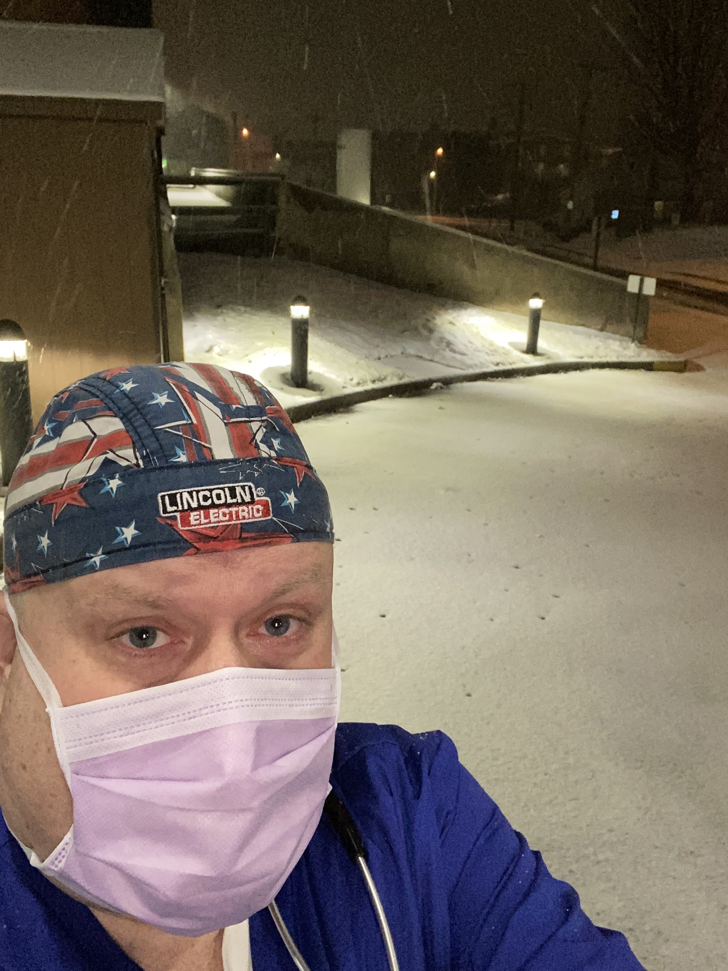
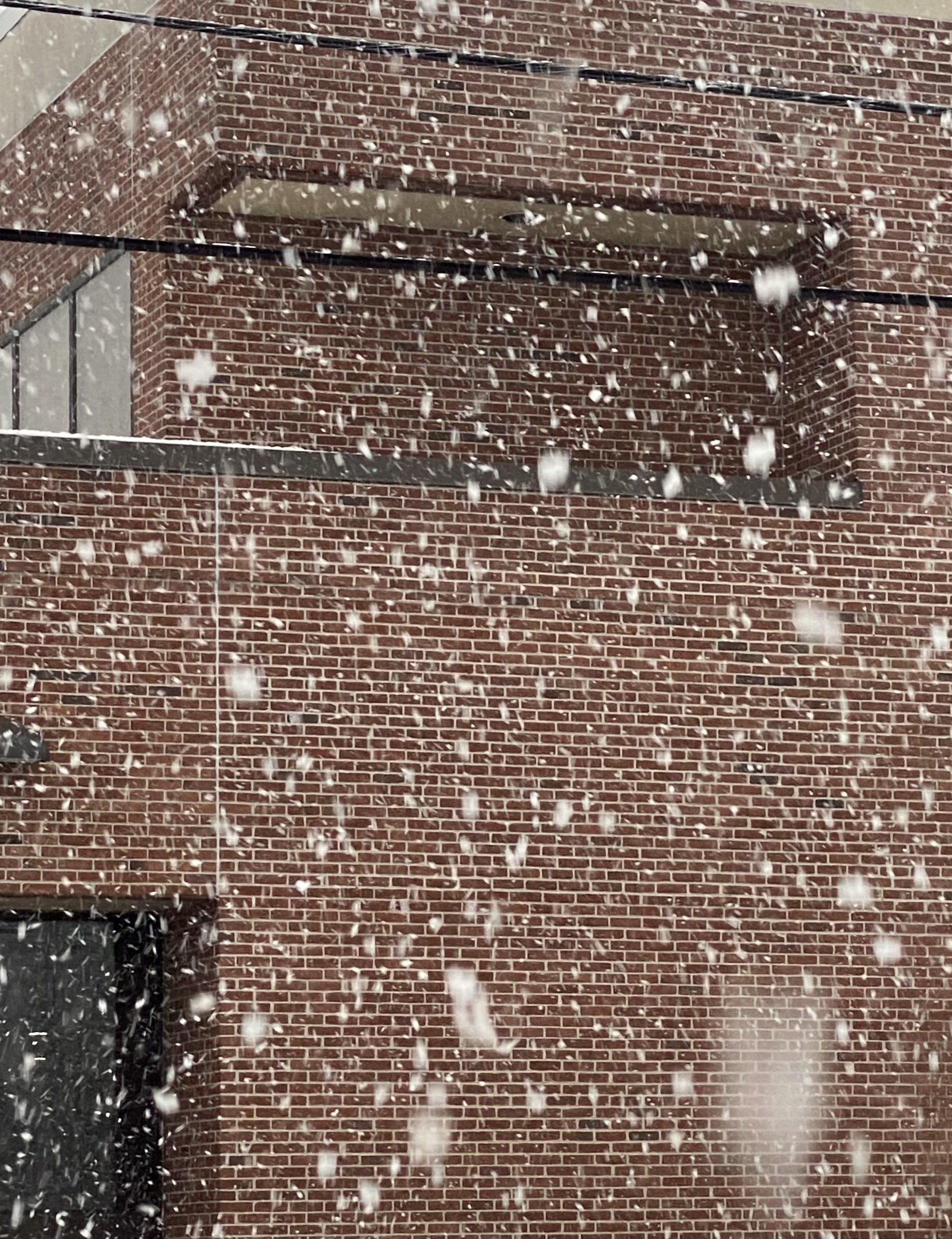
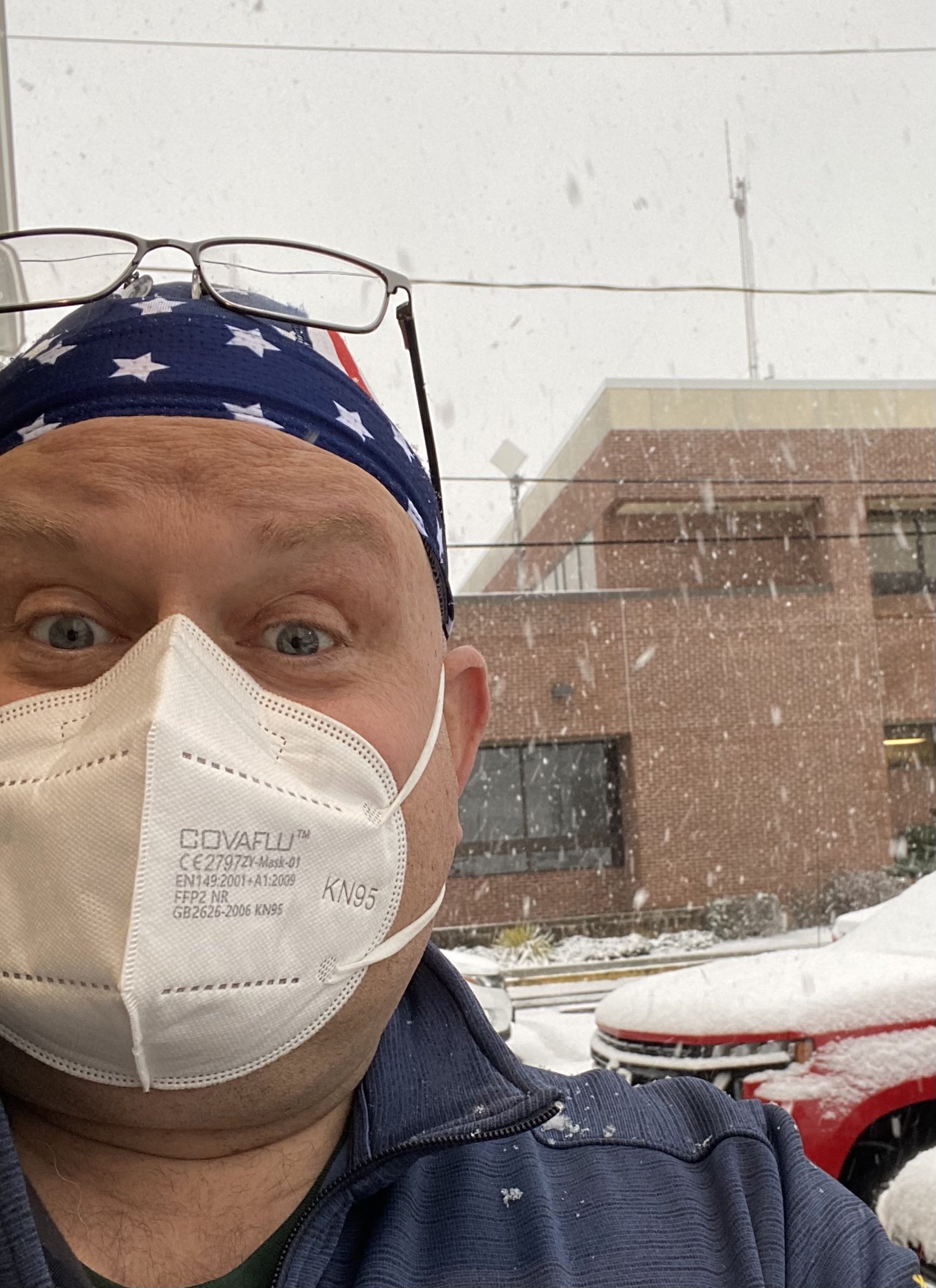
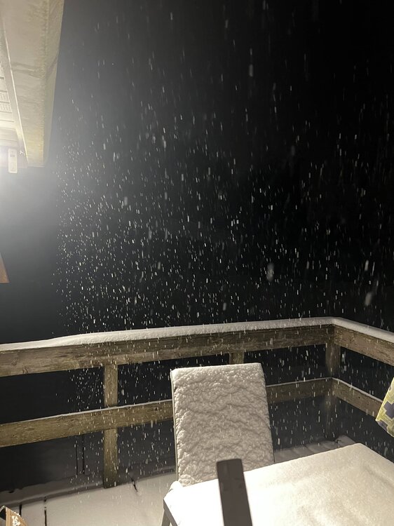
Emergency Room —- so I’ll be busy with falls, shoveling cardiacs, respiratory due to cold air and inevitable snowblower injuries and back pain … sorry Mods … banter .. but thx Deck Pic! Don’t come visit! Any of you! Stay safe! -
Jan 19th Snow on Snow: the this always works until it doesn't thread
WeatherQ replied to psuhoffman's topic in Mid Atlantic
Not likely … I’ll slug down 95 .. nice and slow and hopefully see some rakeage flakeage. Radar returns already starting to light up west of us … atmosphere must be pre-gaming -
Jan 19th Snow on Snow: the this always works until it doesn't thread
WeatherQ replied to psuhoffman's topic in Mid Atlantic
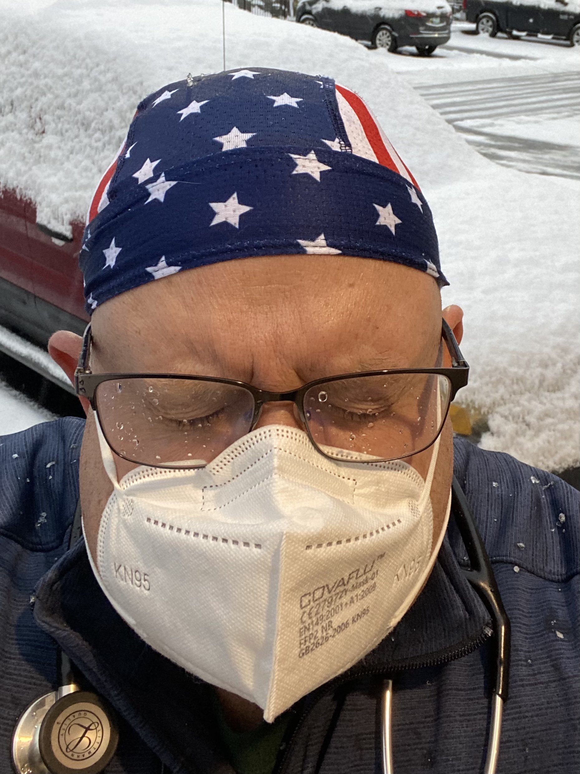
Actually posted WSW 5-6” for MD/DE line. Do I get my bingo piece for NE MD jackpot? Have to pull a shift in UMMS Hospital tmrw … should be an interesting commute -
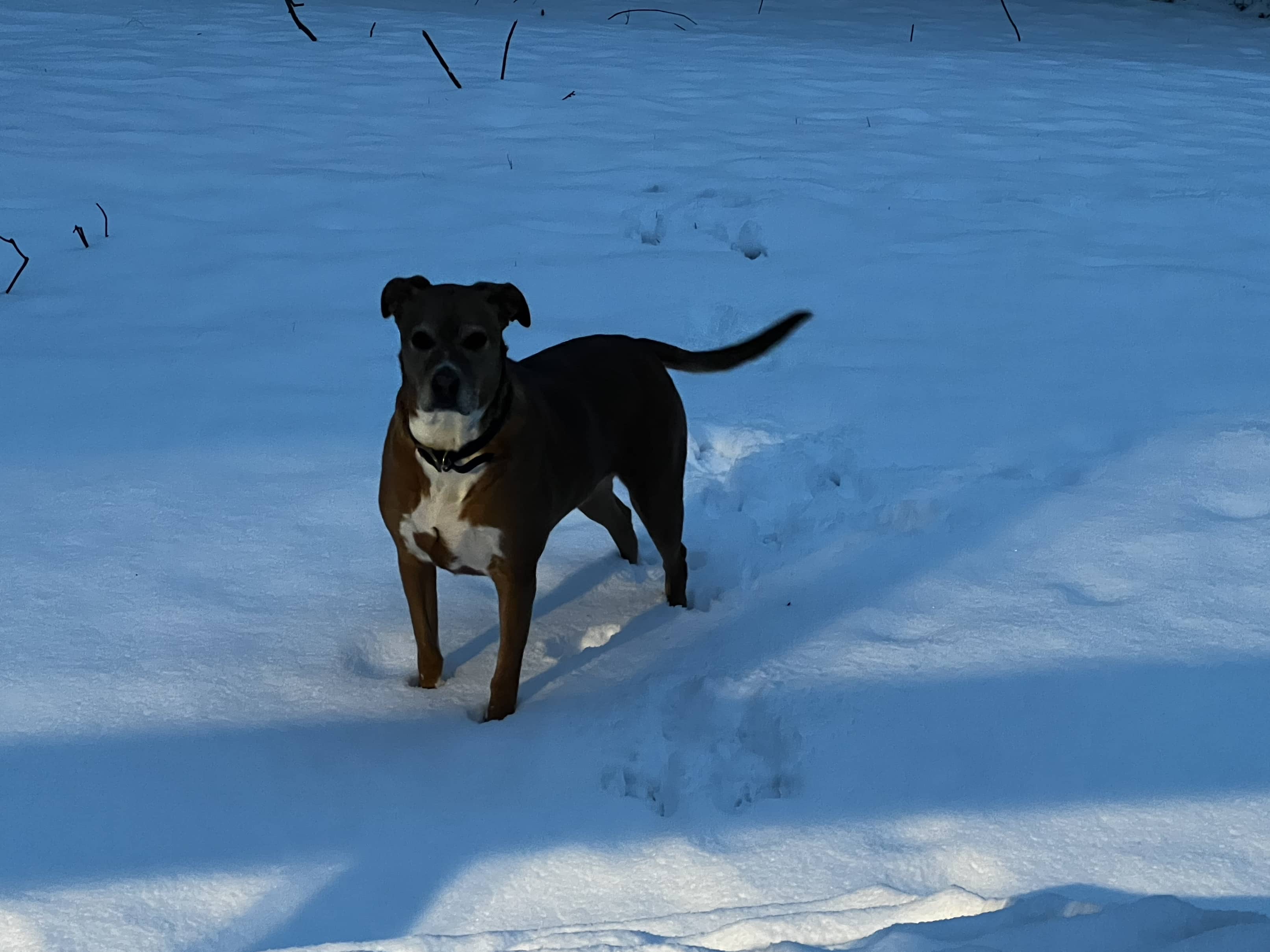
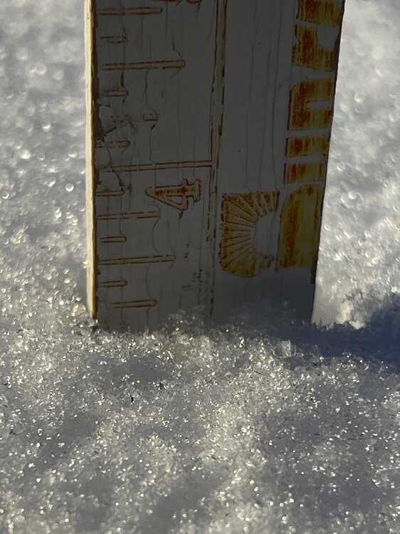
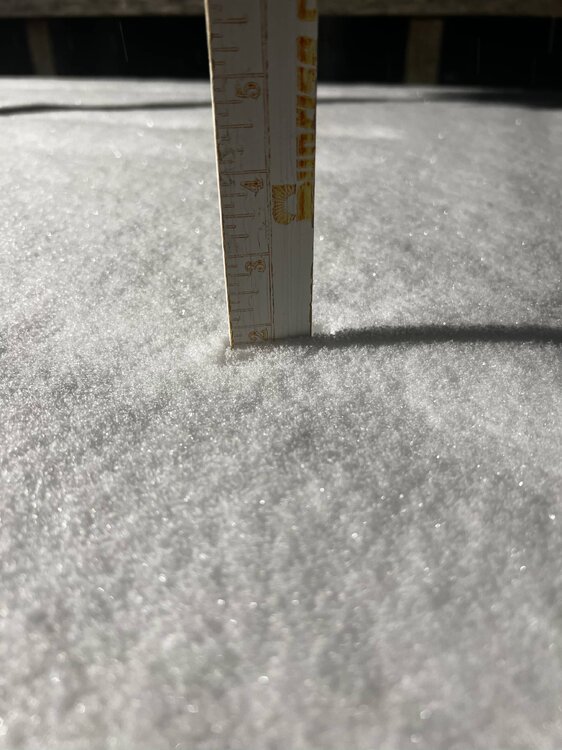
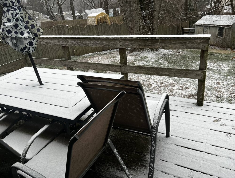
First light and my 6 yo rescued puppers isn’t quite sure what this POWDAH is ,… LOL. several 4” lollies at 3 separate places. The official deck is 3.85” with some sleet crunch compaction. Gorgeous view … missed it! 27F/77%RH 1001 mb pressure wind - calm loc: NE MD - extreme NE Cecil County -New London Road (border PA/MD/DE)

-
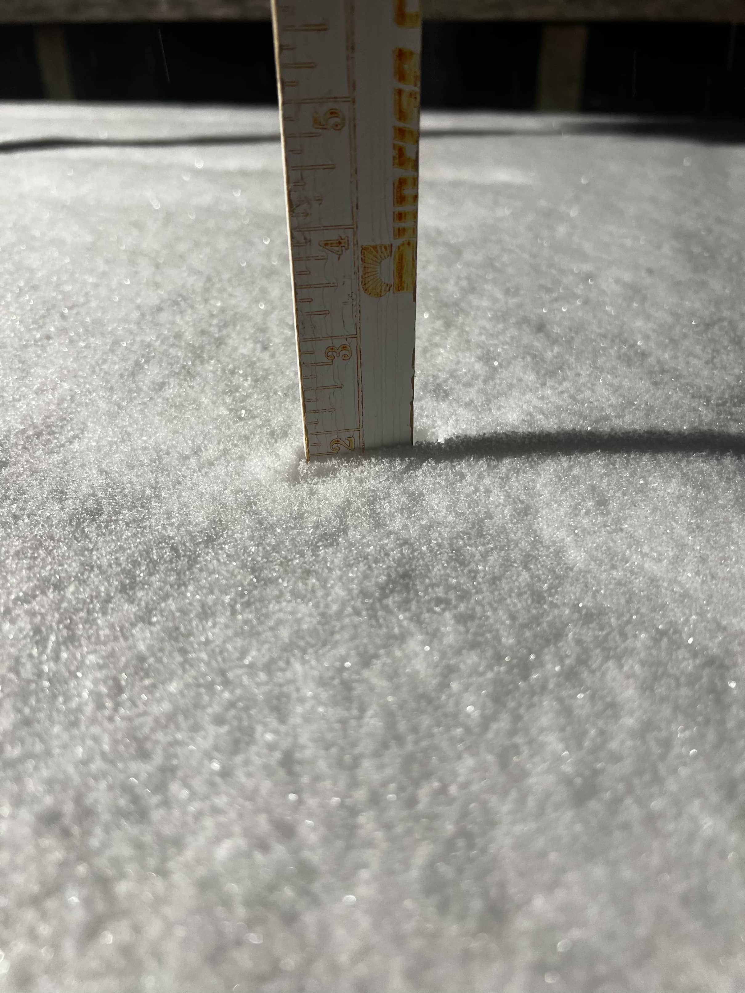
Really moderate fine powdah … 1.9 in 27F/68% RH BPress 1012 mb Locality: NE MD - NE of Elkton MD
-
Heavy clouds with Full on Snizzle … just E of the very NE tip of NE MD by the Tri State Marker (MD/PA/DE) convergence .. for those that know .. White Clay Creek State Park .. New London Road 27F/64%RH BP 1012 mb
-
Jan Medium/Long Range Disco: Winter is coming
WeatherQ replied to stormtracker's topic in Mid Atlantic
Does the Atlantic get more “blocky” if the Wstrn Canadian trough relaxes or does it just allow for more confluence towards the East Coast? I’m trying to picture the upper air physics in how you’ve described the WCand airmass -
Jan Medium/Long Range Disco: Winter is coming
WeatherQ replied to stormtracker's topic in Mid Atlantic
Pretty certain this is the best post of the day. “you’re gonna need a bigger boat” (or Omega block) -
Near Elkton MD … pretty scene … the Start of a Nino winter??? anyone have a statistical nod to how we do in Nino winters when first measurable snow is before Dec. 10??
-
Straight up cray cray. But I do love it here ER Nurse Practitioner
-
Just NW Elkton MD 7F
-
Give yourself a pass and a break. Very much enjoy your commentary
-
OMG that looks classic for a coastal bomb
-
Late January and February Medium/Long Range Discussion
WeatherQ replied to WinterWxLuvr's topic in Mid Atlantic
1. Rachmaninoff 2. Ludwig v B 3. Wolfe and the NS seems to be on a dig- 4,130 replies
-
- 1
-

-
- prime climo
- cold canada
- (and 1 more)
-
Jan 21 - 22 Weekend SE VA and Eastern Shore Snow
WeatherQ replied to stormtracker's topic in Mid Atlantic
40% of the Euro ENS (20/50 members) were absolute crushers … or is that a bad ensemble run after a bad op run? Clarify: meaning the Euro has moved towards a GFSish outcome. -
Marker for PA-MD-DE Boundary https://goo.gl/maps/FoBdowztyku4z7an8 at the TriState Marker DE/PA/MD 13F/-1F RH 40%
-
Thanks very much for this. For those of us in the forum who studied meteorology but chose a different path in life … this was a great refresher in synoptic meteorology!
-
December 2021 Medium/Long Range Discussion Thread
WeatherQ replied to North Balti Zen's topic in Mid Atlantic
100-107mph gusts recorded in CO already -
Jan 31st - 33rd Storm Obs and Disco like it's 1979
WeatherQ replied to Bob Chill's topic in Mid Atlantic
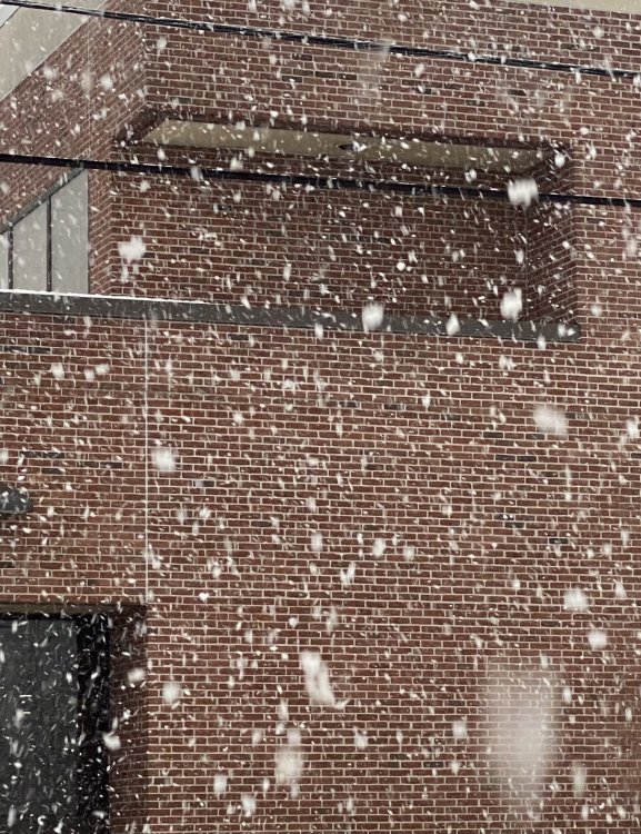
Extreme NE MD (Elkton). Beautiful fine powder falling. 27F and falling. 1.2” on ground at Hospital
-
(Elkton MD) At 1545 hrs Winter Storm Assface quietly passed away surrounded by friends. He went over to IP/ZR. Farewell. We hardly knew ye! 30F. 1.5 inches. Currently IP/ZR

-
Biggest Flakeage I’ve seen in years ... absolutely ripping white meteors in Elkton MD. 30F
-
Still holding at 30F and puking sumo wrestlers. Roads covered. Dreaded change line on Rt 40 just south of me

-
Elkton in da city ... 215 pm .... Ripping chubby snow and grass and roads starting to coat. But that damn transition line is coming up like a beast 30F
-
Elkton in da city ... 215 pm .... Ripping chubby snow and grass and roads starting to coat. But that damn transition line is coming up like a beast 30F
-
Elkton in da city ... 215 pm .... Ripping chubby snow and grass and roads starting to coat. But that damn transition line is coming up like a beast 30F