

Powerball
-
Posts
13,894 -
Joined
-
Last visited
Content Type
Profiles
Blogs
Forums
American Weather
Media Demo
Store
Gallery
Posts posted by Powerball
-
-
21 hours ago, Powerball said:
DFW Summer 2023 summary:
*3rd warmest on record with an average of 88.7*F (only behind 1980 and 2011)
*3rd highest average high on record of 99.4*F (only behind 1980 and 2011)
*3rd highest average low on record of 78*F (only behind 2011 and 2022).
*4th driest on record with only 1.25" of rain.
*Tied for 2nd driest August on record with only a T of precipitation (2000 is the driest with 0.00" precipitation).
*6th warmest July on record with average of 89.3*F
*2nd warmest August on record with an average of 92.9*F (only behind 2011).
*47 days (and counting) of 100*F+ highs, tied with 2022 (so far) for the 6th highest in a year.
*44 days (and counting) of 80*F+ lows, 2nd highest in a year (only behind 2011 with 55 days)
*Hit 110*F twice (8/25 and 8/26), first time since 8/2/2011 and both being the 2nd + 3rd latest ever observed (latest being 9/4/2000).
*6th highest number of consecutive 100*F+ days on record (tied with 2022).
*26 days (and counting) of 105*F+ highs, 2nd highest on record behind 1980 (so far) with 28 days.
*All-time record maximum low of 86*F tied twice (8/7 and 8/8).
*Longest streak of consecutive 85*F+ lows on record with 6 days total (previous 3 records all tied for 2 days in 2011).
*Longest consecutive duration of 80*F+ temps on record (previous record set in 1998 with 358 hours).
*Highest number of days with a heat index of 110*F+ on record
*Tied (with 1980) for the highest heat index ever recorded of 117*F.
*Tied for the highest dewpoint ever recorded (80*F) on 6/15, the 2nd earliest on record in a year (earliest being 6/14) and the highest on record since 1997.
Also, 2023 is now the only top 10 hottest Summer for DFW to occur during an El Nino.
-
DFW Summer 2023 summary:
*3rd warmest on record with an average of 88.7*F (only behind 1980 and 2011)
*3rd highest average high on record of 99.4*F (only behind 1980 and 2011)
*3rd highest average low on record of 78*F (only behind 2011 and 2022).
*4th driest on record with only 1.25" of rain.
*Tied for 2nd driest August on record with only a T of precipitation (2000 is the driest with 0.00" precipitation).
*6th warmest July on record with average of 89.3*F
*2nd warmest August on record with an average of 92.9*F (only behind 2011).
*47 days (and counting) of 100*F+ highs, tied with 2022 (so far) for the 6th highest in a year.
*44 days (and counting) of 80*F+ lows, 2nd highest in a year (only behind 2011 with 55 days)
*Hit 110*F twice (8/25 and 8/26), first time since 8/2/2011 and both being the 2nd + 3rd latest ever observed (latest being 9/4/2000).
*6th highest number of consecutive 100*F+ days on record (tied with 2022).
*26 days (and counting) of 105*F+ highs, 2nd highest on record behind 1980 (so far) with 28 days.
*All-time record maximum low of 86*F tied twice (8/7 and 8/8).
*Longest streak of consecutive 85*F+ lows on record with 6 days total (previous 3 records all tied for 2 days in 2011).
*Longest consecutive duration of 80*F+ temps on record (previous record set in 1998 with 358 hours).
*Highest number of days with a heat index of 110*F+ on record
*Tied (with 1980) for the highest heat index ever recorded of 117*F.
*Tied for the highest dewpoint ever recorded (80*F) on 6/15, the 2nd earliest on record in a year (earliest being 6/14) and the highest on record since 1997.
-
 1
1
-
-
On 8/30/2023 at 6:42 AM, A-L-E-K said:
yeah gonna be real nice, no reason to think october is any different
s hem seeing some freak winter heat, only a matter of time before we get some morch x2 shit but in november/december
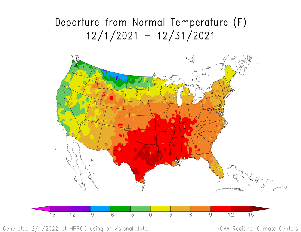
That happened for some areas in December 2021...
-
1
-
-
*IF* DFW somehow managed to avoid measurable precip from today's storms (I doubt it, but it wouldn't surprise me), this will tie for the 2nd driest August on record and it will be the 4th driest Summer on record.
-
DFW managed to eek out another 100*F today despite increased cloud cover and a quicker frontal passage. With that, 2023 also ties with 2022 for 47 100*F+ days.
Just need 1 more before August ends to crack the top 10 list for the most in a month. It's going to be a tall order, but it seems Thursday will offer the best shot.
-
12 hours ago, Torchageddon said:
Today was the 4th day of overcast crap that I've been dreading to see make itself again. TWN forecast completely flopped showing partly cloudy, early this morning it was dark with thicc canopy. Got this blast of rain coming from the north at noon that also sucked. The last 4 days my forecast was completely wrong and its been awful. The sun came out at 5pm today so got something.
My condolences...
-
 1
1
-
-
No one can troll like Palm dude...
-
Something that may get lost in the conversation for DFW is that whlle 2023 Met Summer may be hotter than 1998 and 2022 on paper:
1. 2022 tied for the hottest May-June-July on record (with 1998).
2. While 1998, 2011 and 1980 were wall-to-wall torches from start to finish, 2022 was decidedly front-loaded while 2023 has been decidedly back-loaded.
-
2 hours ago, Powerball said:
And today has ended up being double take of yesterday...
-
On 8/25/2023 at 4:41 PM, Powerball said:
Well what do you know...
To my shock, DFW achieved the seemingly impossible 110*F high today (which, needless to say, is also another record high for the day).
First time since 8/2/2011.
And today has ended up being double take of yesterday...
-
Well what do you know...
To my shock, DFW achieved the seemingly impossible 110*F high today (which, needless to say, is also another record high for the day).
First time since 8/2/2011.
-
Seems that 99*F on 8/14 has come back to haunt, because current projecrions are that DFW will fall 1 day short of cracking the top 10 list for the number of 100*F+ days in a month.
-
On top of everything else, the line is slowing down and starting to train a bit as it moves through Metro Detroit (so likely more flash flooding imminent).
Just insane...
-
Houston apparently made it to 109*F
Meanwhile, DFW broke more records as well with a high of 107*F and a low of 84*F (previous records were 106*F and 82*F respectively in 2011).
-
Chicago hitting 100*F this year was definitely not on my bingo card.
What a Summer!
-
Southern MI nto NE Ohio has been upgraded to an Enhanced Risk by the SPC.
-
Looking at the SPC mesoanalysis, the combined moisture/instability levels are close to unprecedented for the Detroit area (and it's only 7am).
-
Around 1000 strikes per minute now.
-
Over 700 strikes/minute with those storms...
-
4 minutes ago, Brian D said:
Not hard to see why dews are so high. Ample moisture to work with as the trees/crops just suck it out of the ground, and send it into the air. What a soupy mess. ISH!

Gulf temps solidly in the upper 80s will also do that, even with drier than normal soils.
-
29 minutes ago, Powerball said:
While nothing severe, lightning tracker and radar does indicate this been a pretty stormy morning / early afternoon for parts of the city proper and the NE suburbs.
Selfridge has apparently picked up over 1.5" of rain.
Flood Advisory National Weather Service Detroit/Pontiac MI Issued by National Weather Service Grand Rapids MI 1233 PM EDT Wed Aug 23 2023 MIC099-125-163-232230- /O.NEW.KDTX.FA.Y.0018.230823T1633Z-230823T2230Z/ /00000.N.ER.000000T0000Z.000000T0000Z.000000T0000Z.OO/ Macomb MI-Oakland MI-Wayne MI- 1233 PM EDT Wed Aug 23 2023 ...FLOOD ADVISORY IN EFFECT UNTIL 630 PM EDT THIS EVENING... * WHAT...Flooding caused by excessive rainfall is expected. * WHERE...A portion of southeast Michigan, including the following counties, Macomb, Oakland and Wayne. * WHEN...Until 630 PM EDT. * ADDITIONAL DETAILS... - At 1233 PM EDT, Doppler radar indicated heavy rain due to thunderstorms. Minor flooding is ongoing or expected to begin shortly in the advisory area. - Some locations that will experience flooding include... Warren, Troy, Southfield, St. Clair Shores, Mount Clemens, New Baltimore, Grosse Pointe, Sterling Heights, Royal Oak, Birmingham, Clinton, Macomb Township, Detroit Zoo, Rochester Hills, Roseville, Eastpointe, Madison Heights, Oak Park, Hamtramck and Ferndale. - http://www.weather.gov/safety/flood PRECAUTIONARY/PREPAREDNESS ACTIONS... Turn around, don`t drown when encountering flooded roads. Most flood deaths occur in vehicles. && LAT...LON 4245 8319 4259 8326 4274 8280 4273 8276 4273 8274 4272 8273 4271 8273 4263 8276 4263 8277 4262 8277 4254 8281 4254 8282 4252 8284 4248 8284 4239 8288 4234 8296 4234 8297 $$ -
14 minutes ago, Lightning said:
Hey I nailed it => "find a way to get to Detroit (Wayne county)"
 Storms missed MBY by about 20 miles (or less actually). Oh well.
  Hopefully something fun happens the next couple days. Lots of potential at least.
While nothing severe, lightning tracker and radar does indicate this been a pretty stormy morning / early afternoon for parts of the city proper and the NE suburbs.
Selfridge has apparently picked up over 1.5" of rain.
-
1
-
-
At this point, for statistical posterity, hoping the OP GFS pulls a coup.
Will need 100s at least through and including Monday to:
1. Crack the top 5 list for most 100*F+ days in a year.
2. Crack the top 10 list for most 100*F+ days in a month.
-
15 minutes ago, Ed, snow and hurricane fan said:
Depressing. Today was supposed to be Houston' day to tie 2011's consecutive 100°F streak, and we'd break it tomorrow. A week at least more, Thursday forecast at 107°F. Cloudy, a few showers, upper 90s.
Pouring salt on the wound, it seems both Conroe's airport and Hooks both made it to 100*F.
-
1
-


Texas/Oklahoma 2023 Obs and Discussion
in Central/Western States
Posted
This weekend's forecast is turning into a bust for DFW, in a good way.
In an odd way, it's thanks to Idalia.