AstronomyEnjoyer
-
Posts
1,074 -
Joined
-
Last visited
Content Type
Profiles
Blogs
Forums
American Weather
Media Demo
Store
Gallery
Everything posted by AstronomyEnjoyer
-
I'm not far off that. 6.9" for November and 8.8" for December, February, and March.
-
1.57" so far with maybe a bit more upstream on radar. We soggy!
-
River swelling from melt happening here as well. Took this around 2pm. Haven't had nearly as much rainfall though - only 0.15" so far. I reckon if I end up with over 2" from this system there will be some minor flooding on local roads.
-
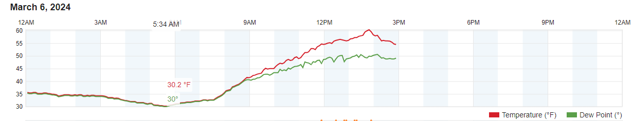
Looking at Wunderground that seems to be the case. I think I was also one of the coldest spots in New England this morning at 30.2°.

-
I need to see if NAVGEM is taken or not.
-
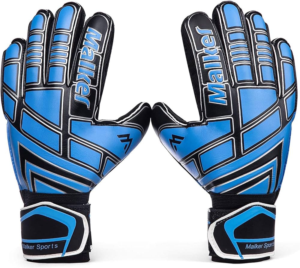
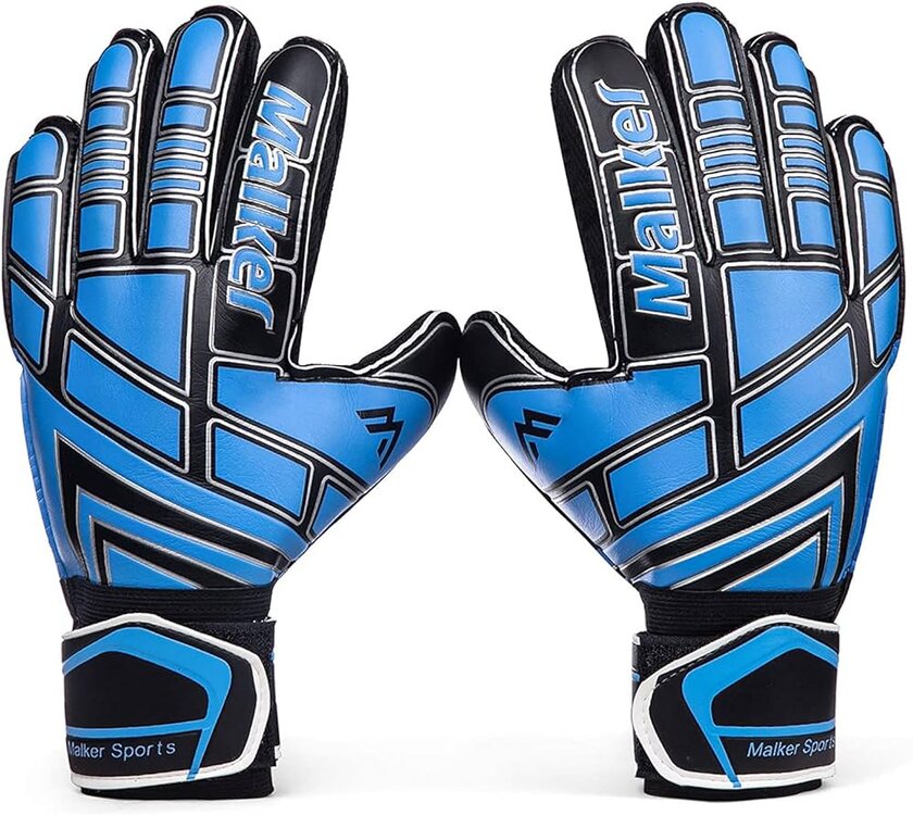
Just the gloves.
-
I do that regardless of how much snow is on the ground.
-
Hit 60.3° before clouds rolled in, wheeee! Yard is almost snow free.
-
Clouds cleared off early this morning and this cold pit of a valley managed to radiate down to 30.2°. Shuffled out on the deck still half asleep to empty the Stratus and nearly went ass-over-teakettle after slipping on ice.
-
36.9° currently with a high temperature of 38.3°. 0.40" of rain since last night. Yucky, yucky, yucky day.
-
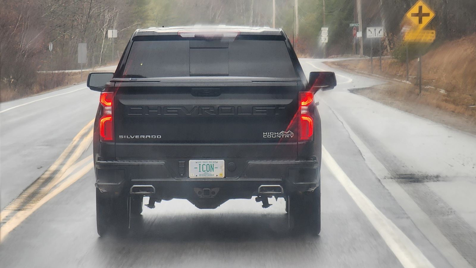
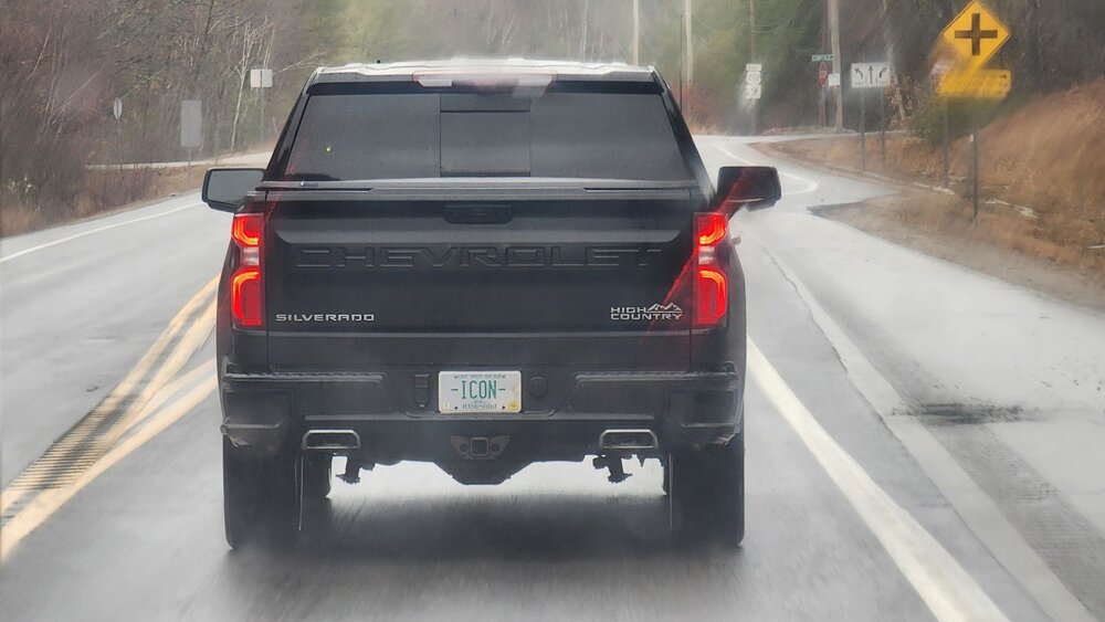
Driving into Concord today I came across my ideal vanity plate.
-
That's an earlier run.
-
36.1° and 0.05" from drizzle. Textbook miserable weather. Pack is now patches and tomorrow might be the final blow!
-
00z Euro and GFS are definitely an improvement for CNE over 18z/12z. 00z Canadian is not as zonked as 12z.
-
True, many of the members in the SREF ensemble are NAM like/based, but the ARW based members in the SREF are hinting at snow as well, at least when I briefly looked at the plumes.
-
The NAM has certainly liked that idea over the past few runs. Hints of it in the SREF as well. None of the globals seem interested whatsoever though.
-
That seems to be the case with those the vast majority of the time. I'm not sure I've ever seen one verify. Usually end up with like a quarter of what the model spat out at best.
-
Freezing rain estimate that isn't as ridiculous as the straight up freezing rain QPF estimates are. That map is even more zonked than the one I just posted. *Freezing Rain Accumulation Model*
-
12z Euro FRAM est. I thought you liked damage?
-
12z Euro is taking its time with the main event, so no pretty generated GIFs for this run. Last frame at hour 240 instead.
-
First push on the 12z Euro. This was very warm on the GFS.
-
Here you go! Still more to go past hour 240.
-
Very true, haha. Just trying to temper expectations so people don't get fussy with me.
-
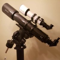
If you like burning through money you should get into astronomy. Then you can get excited about clear nights with no notable weather as well. See, I'm playing both sides so that I always come out on top.
-
Canadian is a solid hit for SNE as well.