AstronomyEnjoyer
-
Posts
1,081 -
Joined
-
Last visited
Content Type
Profiles
Blogs
Forums
American Weather
Media Demo
Store
Gallery
Everything posted by AstronomyEnjoyer
-
So far I've gusted to 25.1 mph - which to be fair - if you saw where my anemometer was located, you'd be impressed.
-
33.6° and a squally little snow shower pushing through. On the 12z suite, the Euro, UK, and ICON want to give a swath of advisory level snow to CNE Friday night/Saturday. North American globals, however, suggest that the Europeans quit doing drugs.
-
Bobcat caught on the basement door camera this morning. Surprised he was snooping around - chimney folks were here and just around out front at that time.
-
31.3°, windy, with occasional sun poking through cloud cover. Chimney is getting re-lined today. Crappy weather to be up on a roof, especially one that is now snow covered (and 12/12 pitch!).
-
Glancing back at the forum 10 days ago, I'll concede that I unfairly characterized the discussion. Valid and reasonable concerns were put forth by many - unfortunately, the less valid ones are what lodged better in my memory. That aside, I'm still curious if model performance as a whole has actually been lacking this winter season. My (by no means groundbreaking) suspicion is that there would be less criticism of their performance if they also threw in a few instances where they called for little and it snowed a lot rather than just hiccup the other way round.
-
Never said it was a big storm for me, only the biggest since (insert date here). I'm asking about model performance, not the "performance" of the weather system itself.
-
Meh, this recent system had fairly robust support on guidance 10-11 days ago and people were groaning and grumbling about posts alluding to the possibility of a storm then. 10 days later, I ended up with my biggest snowfall since Jan 10th and more snow than the entirety of Feb combined. Much of NNE cashed (and will continue to cash) in as well. Not going to deny that this winter has been anything but a regionwide ratter, but I guess I'm not sure what evidence there is to dismiss all modeling. Are model performance metrics currently indicating poorer than normal performance this winter? I'm genuinely asking, as I have no idea.
-
0.4" new snow/sleet since I last measured for a total of 5.1". That exceeds all of February here. Feels strange to hear birds out singing this morning.
-
4.7" but lots of sleet beginning to mix in.
-
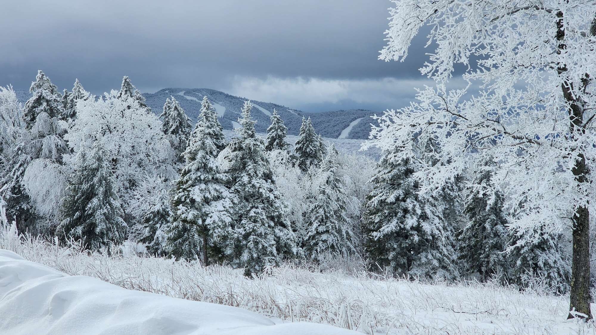
32.0°, moderate/heavy snow 2.3" total so far. This event already exceeds any single one event for MBY for all of February. Now let's see if we can't beat February's total.
-
32.0° and up to 1" now. Doing better than I thought I would so far at 890 ft ASL.
-
32.2° and just past 0.5" here so far. No longer struggling to accumulate.
-
34.3° and flipped to all snow pretty quick.
-
Precipitation has just commenced - sleet with occasional shredded snowflake mixed in. Not sure if that bodes well for a decent storm here or not.
-
GYX snowfall map update. More snow in general, but sharper gradient means more pronounced cut-off for the marginal areas.
-
Keene is doubtlessly located in a tremendous screw zone, but if it got as little precipitation as the hi-res models insisted it did, there'd be sagebrush, sand dunes, and Saguaro, ha!
-
Took a selfie tonight. Hard to get good weather these days. For those wondering, my head is naturally blurry.
-
00z HREF mean. Seems like the NWS likes these for snow maps.
-
Wow, that's impressive. The pos. depth change maps are usually (caveat, not always!) fairly conservative too. Still - way more applicable in this situation/evolution than the 10 to 1.
-
18z GFS looks to obliterate Vermont.
-
Latest (19z) NWS blend. Big fan of these - they tend to be pretty accurate, at least in my experience here locally.
-
Yup, the 12z Euro definitely came back to reality a bit from the 06z. Still more favorable for marginal regions than the GFS though.
-
Great news for the clown map aficionado.
-
12z CMC has a much deeper low than 00z did as it swings through central Mass. Big improvement for the spine of Vermont, small improvement for the south of White Mountains crew.
-
Ah yes, and now the 12z ICON has come back considerably snowier for MBY. I'm thinking I shall be a lost cause this weekend.


