AstronomyEnjoyer
-
Posts
1,081 -
Joined
-
Last visited
Content Type
Profiles
Blogs
Forums
American Weather
Media Demo
Store
Gallery
Everything posted by AstronomyEnjoyer
-

The Congrats Dendrite Deck Destroyer 3/23-3/25 obs discussion
AstronomyEnjoyer replied to Ginx snewx's topic in New England
Still have the wreckage of mine in the backyard. -
The Congrats Dendrite Deck Destroyer 3/23-3/25 obs discussion
AstronomyEnjoyer replied to Ginx snewx's topic in New England
NWS point and click forecast went from 5-9" to 8-16" here. Thinking closer to 8". -
The Congrats Dendrite Deck Destroyer 3/23-3/25 obs discussion
AstronomyEnjoyer replied to Ginx snewx's topic in New England
I've got 30.2/-3.1° here, haha. -
The Congrats Dendrite Deck Destroyer 3/23-3/25 obs discussion
AstronomyEnjoyer replied to Ginx snewx's topic in New England
Yeah, I expect that to shift south some at 19z based on 12z so far. -
The Congrats Dendrite Deck Destroyer 3/23-3/25 obs discussion
AstronomyEnjoyer replied to Ginx snewx's topic in New England
Here's the latest (13z) NWS blend product. Usually spot on with their published maps. -
SREF ARW core based members are quite a bit warmer at the surface than the NMB based members. Not sure if that's meaningful in any way.
-
Yeah, this is looking like it's going to be a mess out this way.
-
New England 2024 Warm Season Banter
AstronomyEnjoyer replied to HoarfrostHubb's topic in New England
Looks like weather is going to put a bit of a hold on the barn project, so here's an update! See also the (mostly accurate) framing model I put together. (I don't plan on leaving the rafter tails like that, for example.) -
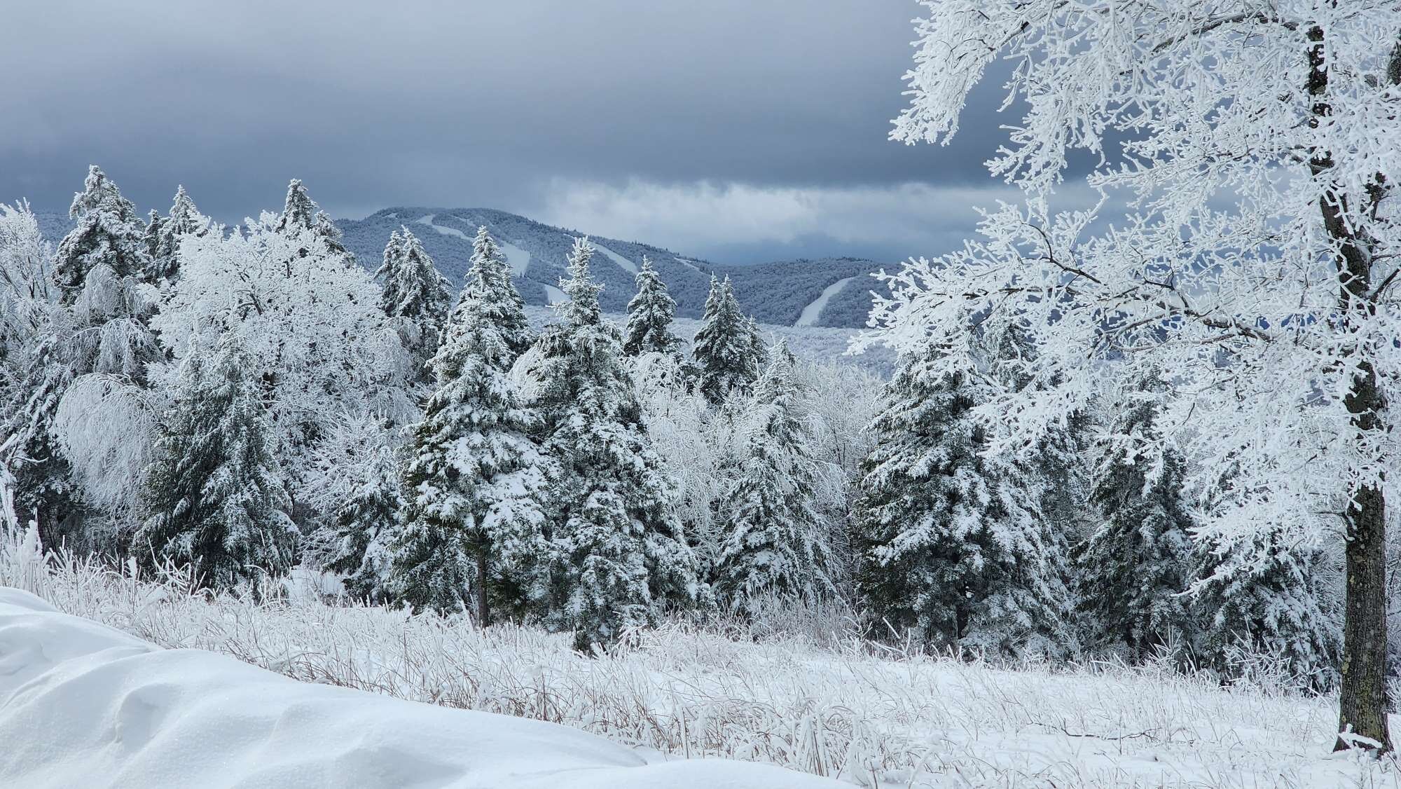
33.6° and flakes flying. NWS calling for 2-4" of snow here tonight. Figures, ha!
-
I'm like that even right now. Probably about average for this time of year and I'm outside working on the barn dressed like I'm at McMurdo Station.
-
Oh, I should make it clear that I'm fully in the March has been anomalous in its warmth camp, I'm just generically warning against the use of means/averages as be-all end-all descriptors. This month torchy.
-
Yeah, I know. In my hypothetical scenario the first half is departed on average by minus 30 degrees, and the last half, by plus 30. An extreme example, but this includes avg temp for the whole 24 hour day. I'm not talking max or min averages.
-
I'm not going to argue that March 2024 hasn't departed way to the warm side (because it has so far and most certainly will end that way), but I'm not sure I necessarily agree with the bolded text. Take a hypothetical (admittedly extreme) scenario where the first half of March is departed -30 degrees, and the last half, +30 degrees. If you've binned the data by the month, you'd end up with a mean departure of 0 degrees. However, the statement, "March had a mean temperature that did not depart from the historical mean, therefore the temperature for the month of March was not anomalous, historically.", seems fundamentally untrue. You had crazy temperature swings and record breaking periods of hot and cold! You just don't see that at a monthly resolution. To produce a mean you have to bin the data in some timeframe though, and I guess monthly makes just as much sense as any other timeframe. I guess what I'm saying is that using mean temperature as a hard descriptor of how anomalous a month was temperature-wise is unsound. Or kinda pointless, I dunno. Shit, this is really just semantics I guess. Anyway, I'm not a met, just a dumbass, so, two cents, yadda yadda.
-
37.8° and breezy, but the sun and the blue skies make up for it. Last snow patches in the yard are hanging on for just a bit longer.
-
Wild swings in the globals at this range, sheesh. 12z Canadian swinging for the fences. Has an even nuttier solution for southern Minnesota - tries to spit out more snow in one storm than they get in a season. Edit* I should point out that most of that QPF is actually falling early Monday. Low actually backs up a little west as it slowly gains latitude.
-
12z Euro is nothing like the GFS, but does produce a clown that might perk up some of dem weenies.
-
12z GFS is a Stowe special.
-
12z GFS has a 989 low over Dendrite's head at 129 hours, lol.
-
Miserable rain (and a lot of it) for most. Snow and rain in CNE/NNE. Could be a lot of snow for someone in NNE. GFS likes western Maine, ICON likes northern Maine.
-
12z ICON likes the 06z GFS solution for this weekend.
-
Looks like it first started doing that during the Sunday 12z run. I'm guessing something changed where the mapping algorithm is now recounting QPF frame totals that were already summed. And so it just starts ballooning into the comical result we see. Complete speculation on my end though.
-
We would need to add a few new chapters to our religious texts. Whoever is still alive, that is.
-
Pivotal is having some kind of issue handling QPF mapping on the Euro AI. I don't think this is correct. Methinks there is a bug afoot!
-
Wide angle lens making it look larger than it is, haha. 26' wide by 28' deep.
-
06z GFS is a pretty good hit for Friday night into Saturday. Mostly rain outside of CNE/NNE though.


