RU848789
-
Posts
4,002 -
Joined
-
Last visited
Content Type
Profiles
Blogs
Forums
American Weather
Media Demo
Store
Gallery
Everything posted by RU848789
-
Switched over to freezing rain a few minutes ago, earlier than expected, so I just took my final measurement of 1.25" of sleet/snow, bringing our season total up to 12.4". Disappointing we didn't get the 2.5" of snow/sleet I guesstimated and especially would've liked more snow, but that's the way it goes sometimes. Not loving having an hour or more of ZR, which could put down 0.1" or more of ice with temps at 29F.
-
Nice! Did you wake up the zookeeper to make a measurement, since the precip type changed? They're supposed to - otherwise the sleet will compact the snow and we'll see another low measurement. https://theconversation.com/how-is-snowfall-measured-a-meteorologist-explains-how-volunteers-tally-up-winter-storms-175628
-
As of 9:30 pm we have 1.0" of snow/sleet mix on the ground at 28F. Went for a drive locally on 287, 1, and 531 in Metuchen/Edison just to see what it was like and everything, including 287 and 1 was snow-covered and slippery with people going 30-40 mph mostly. 1010 WINS said lots of accidents (mostly fender benders) out there; I saw one on the shoulder of 287. Was pouring alternating snow and sleet and mix and now we're just about all sleet, although it seems like "larger" sleet pellets than usual for some reason and judging by a few other posts in our area, we're locked in to heavy sleet for awhile. Would rather have snow, but it's still pretty gorgeous out there. Radar still looks healthy.
-
As of 8:30 pm, roughly 1 hour into the decent rate precip, it's pouring snow again (lots of switching with sleet here) and we have 0.4" otg at 30F with RH up to 80%.
-
As of 8:30 pm, roughly 1 hour into the decent rate precip, it's pouring snow again (lots of switching) and we have 0.4" otg at 30F with RH up to 80%.
-
I just don't see the line on dual-pol, although I see the big bright blob out by Clinton on 78. Back to mostly snow again. Regardless, I'm very happy with the precip intensity and radar out west and I'll take mod/heavy sleet for 3 more hours if I have to, lol.
-
Am I missing something? Don't see any obvious sleet line...

-
As of 8:10 pm we're at 31F (but still only about 70% RH so not saturated at ground level yet) and we've gotten about 0.3" in 30 minutes with a very slick sleet layer on the bottom and then we had great snow for 10-15 minutes and now we're a mix again. Going to be an interesting night.
-
Was very cool, but then it turned back to a 50/50 mix - wonder if I'll be seeing a lot of that back and forth...
-
Latest HRRR (if it's right) has me getting 3" snow by 11 pm or about 1" per hour. Not so sure sleet doesn't mix in earlier, though, looking at the radar map at 10 pm. My sounding is definitely snow through 9 pm, but 10 pm looks iffy. Any experts care to comment? I'm hoping it's just wet snow...
-
It really did come in like a wall - would've been cooler to see a wall of snow, but this is still pretty good. Every surface covered already and we have some flakes mixing in.
-
Surprisingly, sleet just started here around 7:25 pm at 32F (wet bulb temp ~26F) and we have a little dusting already - thought it would start later here, but a slug of precip on the radar hit here early.
-
Surprisingly, sleet just started here around 7:25 pm at 32F (wet bulb temp ~26F) and we have a little dusting already - thought it would start later here, but a slug of precip on the radar hit here early.
-
It's not over until we say it is! Was it over when the Germans bombed Pearl Harbor?!
-
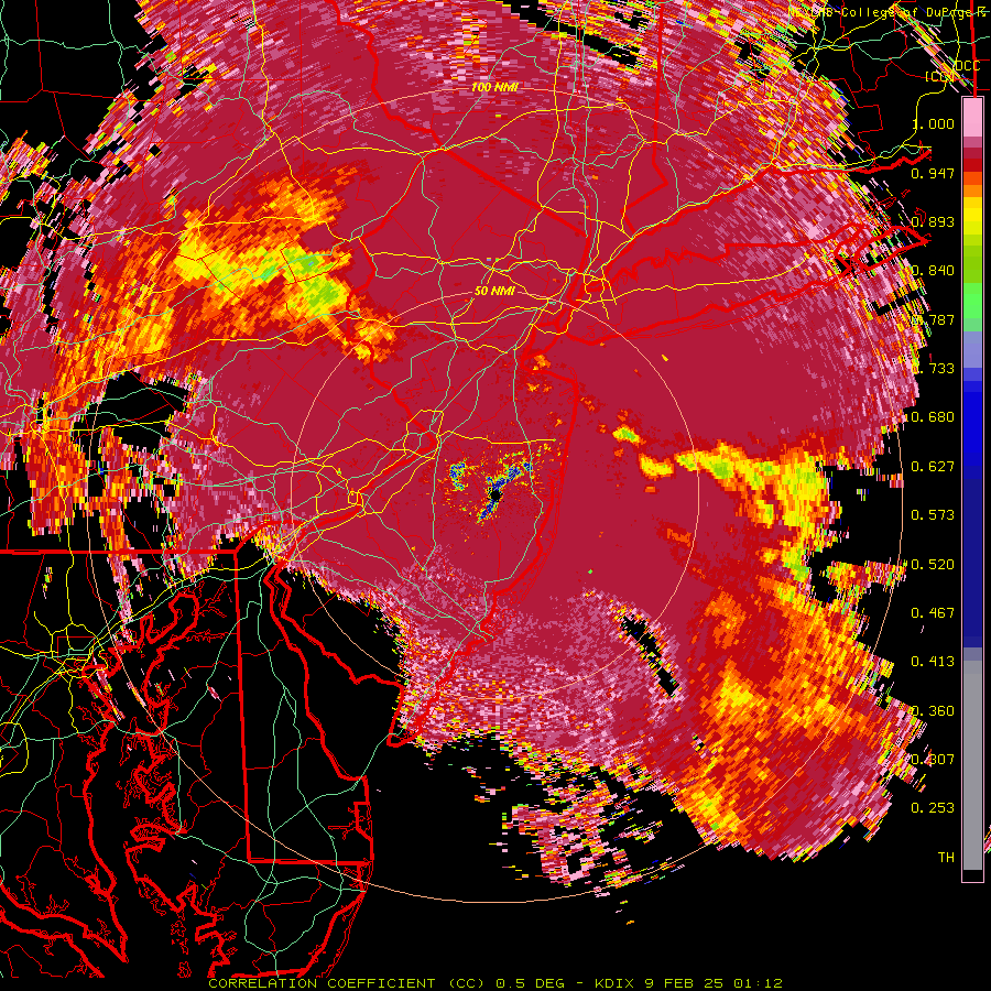
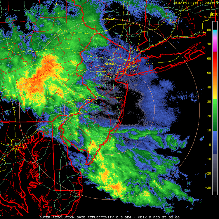
Thanks, shouldn't have trusted the weathertap radar, lol. Dual pol shows the sleet signature pretty well in PA; as I just said in another post, my comparison was more about the precip intensity being much closer to the HRRR than the NAM, which is still a good thing at least for now.
-
Yep, just looked at that and can see the sleet signature. Also, the main part of my comparison was the radar intensity/precip looking much more robust and close to the HRRR as opposed to the NAM. There have been two "trends" that concern most - less precip on the NAM and some other models, especially W and SW of NYC and faster WAA driven transition to sleet like the NAM vs. what some of the models show. Personally, I'd rather get the higher QPF and mostly sleet than low QPF and sleet (if I can't have snow).
-
Agreed. The current radar at 6:30 pm is quite close to what the fairly snowy 21Z HRRR was showing for 7 pm pm, whereas the 18Z NAM at 7 pm looked weak and spotty. Doesn't mean the HRRR will be right and the NAM wrong, but that's the case so far, IMO.
-
Don't get me wrong, I'm very concerned about getting mostly sleet as I'd like to see some snow and the trends have not been good for mostly snow for anyone really, but the NWS knows more about this stuff than I do and I just hope they're going to be right. I'd rejoice if I got the forecast they have for me of 3.4" of pretty dense snow and sleet that comes from 0.59" of QPF, with 0.06" of ZR on top of that.
-
Also, the NWS-Philly hasn't thrown in the towel by any stretch as per their latest AFD, below. My forecast has actually had snowfall go up to 3.4" (I'm in the 3-4" swath in far northern Middlesex County. If the drier and warmer aloft-faster trends on several models verify, could be one of those storms where there's a significant difference between, say NB and places like Freehold, Trenton or Frenchtown to the S/SW/W, i.e., decently more snow and precip in NB. Maybe. Time to watch the radars and it's certainly plenty cold for snow/sleet with temps around 32F, but low humidity and dewpoints in the upper teens meaning the wet bulb effect will get most down into the mid/upper 20s for awhile. Going to be an interesting next 8 hours or so. Further north, a burst of moderate to heavy snow looks likely after sunset for the Lehigh Valley, Poconos and northern NJ, possibly extending into the northern Philly suburbs and central NJ briefly, before the change to sleet and freezing rain. Where that lingers longest as snow, highest accumulations will be found, with 3-6 inches expected in northernmost NJ, 2-4 inches in the Poconos and the rest of north-central NJ, and 1-2 inches in the Lehigh Valley, northern Philly suburbs and central NJ. This prolonged period of snow, followed by sleet, should result in less ice accumulation, closer to a tenth of an inch or less.
-
FWIW, the HRRR does jump around and has gotten a fair amount snowier, especially on the S and W margins in CNJ, over the last 4 runs. There's still hope, lol...
-
That matters a bit too, of course, but it's not April yet, so I think more than half will still be around and 90% in the shade - and I happen to live on a shady property (across from Tommy's Pond if you know Metuchen).
-
Why so low? NWS has you getting ~2" of dense snow/sleet (0.4" QPF as snow/sleet, so ~4" of snow worth), then 0.1" of ZR which will be absorbed into the pack. Do you think they're going to be that far off?