

Modfan2
-
Posts
3,494 -
Joined
-
Last visited
Content Type
Profiles
Blogs
Forums
American Weather
Media Demo
Store
Gallery
Everything posted by Modfan2
-

It was a Flop... February 2024 Disco. Thread
Modfan2 replied to Prismshine Productions's topic in New England
Nantucket getting a good soaking, meanwhile the 7/10 split with only.11”; -
It was a Flop... February 2024 Disco. Thread
Modfan2 replied to Prismshine Productions's topic in New England
Looks like Stein possibly winning out here today, only .11” so far -
It was a Flop... February 2024 Disco. Thread
Modfan2 replied to Prismshine Productions's topic in New England
.10 of rain and 35F, hopefully that washed most of the salt off the roads, still almost 1-2” of pack left -
It was a Flop... February 2024 Disco. Thread
Modfan2 replied to Prismshine Productions's topic in New England
Ping fest here in Brooklyn -
It was a Flop... February 2024 Disco. Thread
Modfan2 replied to Prismshine Productions's topic in New England
Down to 12F here, melt refreeze rinse and repeat until we melt completely next week -
It was a Flop... February 2024 Disco. Thread
Modfan2 replied to Prismshine Productions's topic in New England
I was just gonna say there’s Kev’s ice storm -
-
It was a Flop... February 2024 Disco. Thread
Modfan2 replied to Prismshine Productions's topic in New England
Red flag warning and brush fire talk in a few weeks? -
It was a Flop... February 2024 Disco. Thread
Modfan2 replied to Prismshine Productions's topic in New England
13F for a low, decent cold considering I was sitting at 71F this time yesterday in FL. Nice to see the snow on the ground, will be even nice to watch it melt this week and have Fridays rain wash the salt off the roads -
Shocked you only got that much, me being in the valley wondering if I was the same? Won’t know until Sat to see what is left
-
Close to you or just west, that band hasn’t moved much
-
Think this afternoon, looking at radar in Mass you it looks to be collapsing SE
-
I’m in some bright banding here lol! In all seriousness I have the chance to double my season total of 8” and not there to see it.
-
So nothing from you to Boston north?
-
Kev to Steve, elevated areas of Windham and northern New London Counties are going to do well
-
looks like your in a decent band
-
Looks like your in that decent banding
-
Decent band over the Hartford area, crushed?
-
Not knowing how models are scripted to run, is it a problem with the model, data input? I mean it’s 2024 and these products are awful!
-
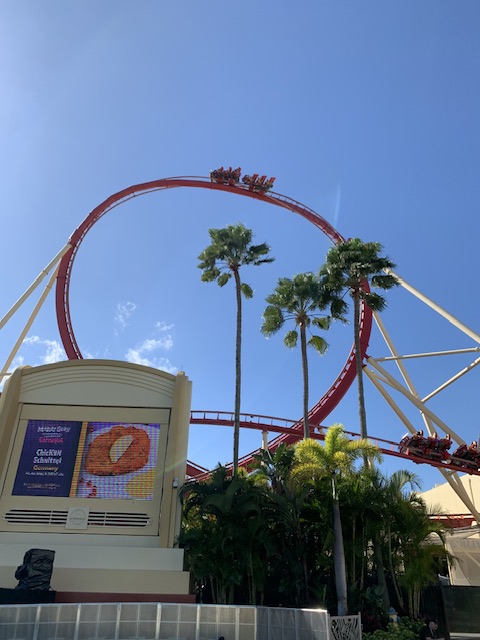
Like a roller coaster! Actually at Universal right now enjoying the rides
-
Ginxy Jack Incoming
-
Congrats MJ0812?
-
Sorry for the IMBY question but I Have a family member flying out Tuesday evening and wondering if they should change flight to Monday; but she is a teacher (Windham County) and wondering if schools will be cancelled Tuesday?
-
How does the time frame of this coming in on Monday?
-
Welp, first time back in FL since moving back to CT and figures I might get more snow than I have the past two seasons.


