UnitedWx
-
Posts
3,208 -
Joined
-
Last visited
Content Type
Profiles
Blogs
Forums
American Weather
Media Demo
Store
Gallery
Everything posted by UnitedWx
-
HHH Dews
-
Probably most of April also the way things tend to work out
-
12 inches total in Westfield, but it's compacted quickly. I need to check this because my totals are at home... but I believe that brings the season to just about 30 inches
-
Paxton is a great weenie snow town
-
Coming down moderately and just starting to stick again to paved surfaces
-
Seeing that here. It immediately got rid of any drizzle also, so thats hopeful. down to 33 again also
-
Picking up in intensity in Westfield, back to moderate now
-
If we can get heavy enough rates later it will add up. Temps will drop quickly... if the band moves in as modeled. I expected it already, but you can see the tilt on radar now
-
Getting close to moderate/heavy snow again here Dusting up the driveway again. 33 degrees
-
Just got in from the first round of snow blowing and took a look at the radar. Looks like it's ready to ramp up here again very soon
-
Wish me luck heading out to do a preliminary snow blow now. Funny, our yearly continuing ed class tonight was postponed till next Wednesday evening. Just checked out the GFS and it's showing another snow storm next Wednesday and next saturday
-
Still moderate snow in Westfield despite radar looking meh. Can see it starting to fill back in to the west. Temp down to 31
-
We had several blips. Looks like it's out up the street just west of us
-
I was thinking by 8 to 8:30 at the latest, but may happen sooner
-
No, Westfield. But same is happening in Simsbury according to my dad
-
Power flickering here the last 20 minutes. Heavy snow continues
-
Good range. If this was any dryer, we'd have another foot easy
-
My bud just north of Granby center says its still snowing "like a bat outa hell"
-
This is going to absolutely SUCK to snowblow!!
-
Hopefully she keeps power. Dad says lines are flashing and power flickering. He's on Great Pond Road
-
My father just texted from Simsbury. He says either lightning, or power lines sparking. With the weight of this stuff, probably power lines
-
Ripping in Westfield thats for sure! If it does this most of the day...
-
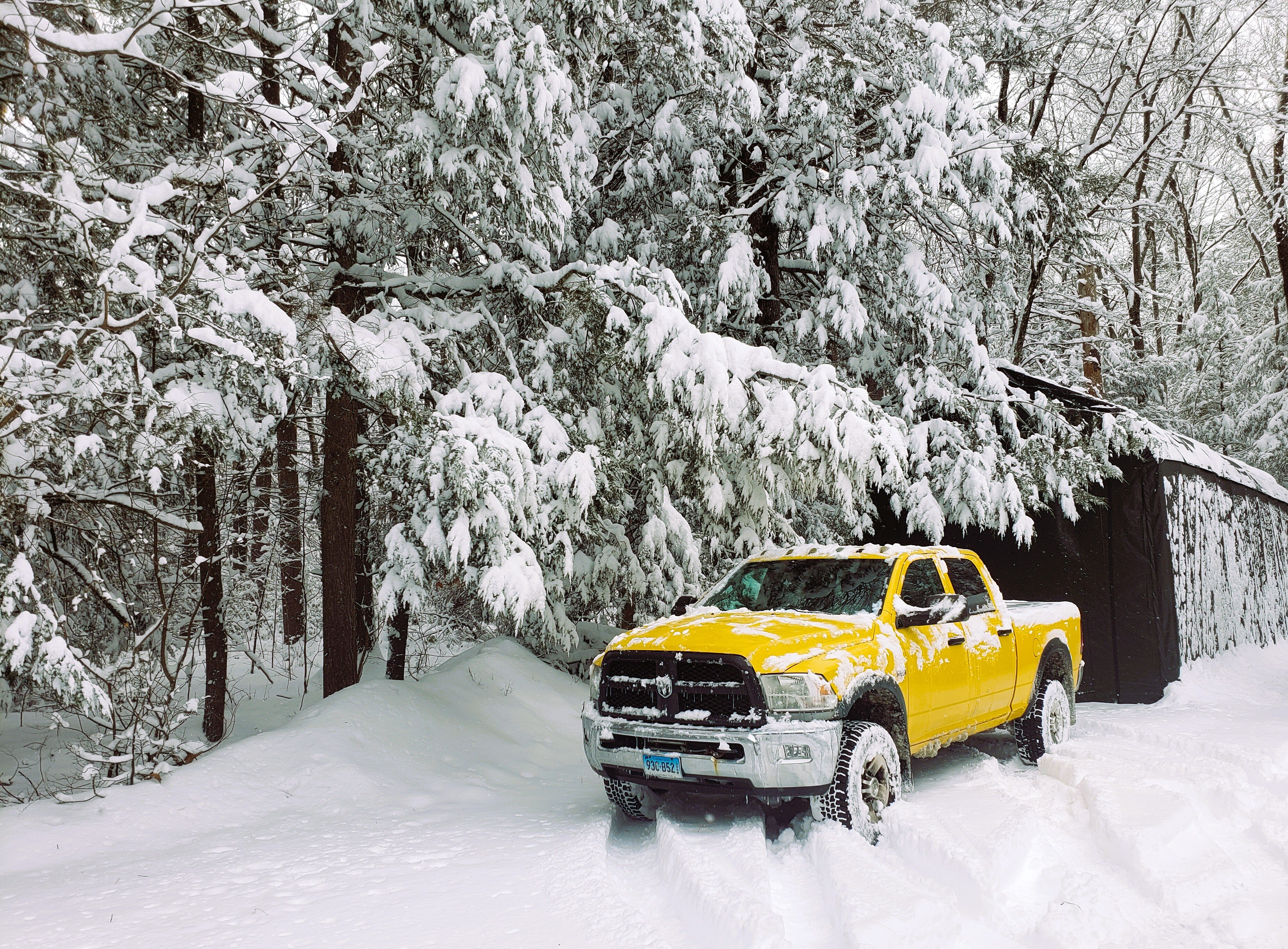
3.5 inches of absolute mashed potatoes and concrete
-
Heavy snow and 31.
-
Upgraded tow a winter storm warning here a few minutes ago. Looks like we have about 3.5 inches. Can barely see up the street


