

Sernest14
-
Posts
340 -
Joined
-
Last visited
Content Type
Profiles
Blogs
Forums
American Weather
Media Demo
Store
Gallery
Posts posted by Sernest14
-
-
HRRR at 48 on the 18z is expanded pretty far wnw with precip as well compared to all other models. not holding my breath but hoping for a better pickup on the 2nd storm by the mesos once the first gets going and through. you would think if that could move more quickly then it would open up a little room for the second wave.
-
 1
1
-
-
Euro says no dice
-
GEPS still gives us .2 liquid for weekend storm which would be 2-4" with ratios.
-
Oof - SEVA gets shafted with 12Z GFS. Gone by 12Z Saturday with less 1-2" from 12Z Friday - 12Z Saturday (2-4" overall)
-
Oof - SEVA gets shafted with 12Z GFS. Gone by 12Z Saturday with less 1-2" from 12Z Friday - 12Z Saturday (2-4" overall)
-
 1
1
-
-
HRRR gets us 2-3" for Thursday - hopefully that pans out. Still have the GFS and Euro with the 4-7" for weekend- here's to hoping that doesn't go away with 12Zs
-
at about 4-5" on the GEFS with 15:1 ratios for the weekend. Roughly the same for operational.
-
Looks like a slight tick NW this run - baby steps. Get this for 3-4 more runs
-
1
-
-
30 minutes ago, jayyy said:
The hi res NAM - which is supposed to be good at deciphering setups like we saw with the last storm / had places NW of Winchester seeing 2-3” the day before the storm. That model is completely out to lunch. They should just revert back for the ETA and call it a day

There is a Thursday storm that’s running up that way with 1-3” the day before this…
-
Thursday looks like a dud on the 18z - that low never seems to pick up any steam and things stay a bit more suppressed.
-
1
-
-
NAM looks a little more amped at hr 27
-
5 minutes ago, Inudaw said:
CMC casually drops 36 inch storm between the hours 180 and 228.
lock it in!
-
Still have a few models that give us 3"+ ; hoping the euro holds ground - GFS is at least showing improvement over previous days run as well.
-
1
-
-
3 minutes ago, RVASnowLover said:
Thankfully it’s the NAM
but that was the only one giving us 2"+
-
12z NAM ends up sliding a bit more south and less amped on that second wave. Still some accumulating snow for SCentral and SE VA
-
another thing to note is that the bigger storm will likely be much higher ratios closer to 15:1 so up whatever is shown on the 10:1 maps (not sure if Kuchera adjusts for that already though?)
-
man I hope the 0z NAM is right; 6 inches as an appetizer before the bigger storm would be amazing
-
1
-
-
5 minutes ago, Ji said:6 minutes ago, Sernest14 said:So are we at all models vs gfs at this point?
Nope euro vs all models.
Wasnt icon and ukie showing similar track?
-
So are we at all models vs gfs at this point?
-
Hoping we can sty cooler longer before plain rain. We’re 3-4 degrees cooler than what HRRR was showing at 12z
-
Same- switched over briefly but back to good snow- guessing this will last until this band pushes through
-
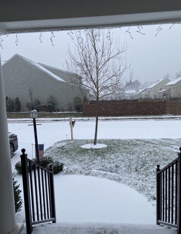
Dumping now- heavier band just started and looks to be continuing for a bit
-
4
-
-
Hopping we hold to snow for this yellow incoming on the radar
-
Has it started yalls way? Looks like (based on traffic cams) it’s started in the city?

Richmond Metro/Hampton Roads Discussion
in Mid Atlantic
Posted
NAM looks great- 3-5”