clskinsfan
-
Posts
10,783 -
Joined
-
Last visited
Content Type
Profiles
Blogs
Forums
American Weather
Media Demo
Store
Gallery
Everything posted by clskinsfan
-
It was amazing out here in the Winchester area. Stunning. Sat on the deck and felt a little chilly for the first time this year. Man I love the fall.
-
Yeah. I am worried about it. The beach is still really small from last years Noreasters. They didnt have time to replenish it before this season properly.
-
-
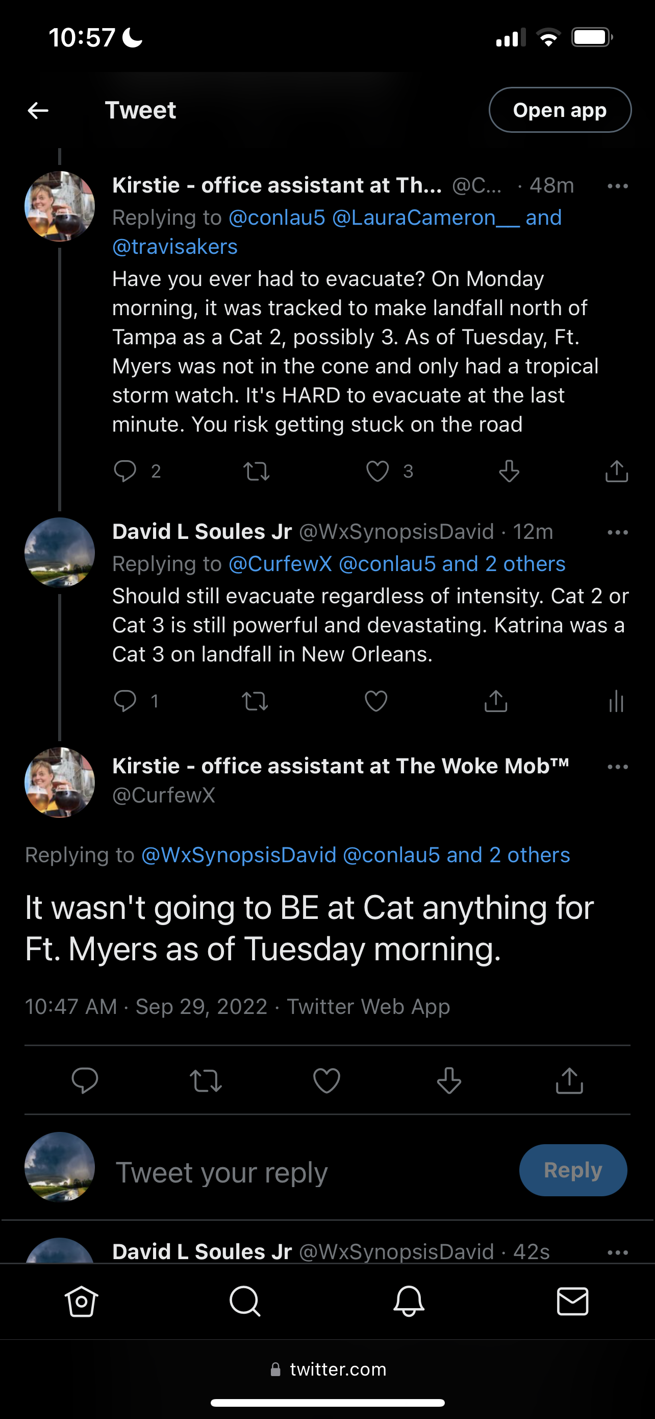
Thing is the tech is pretty damn astounding at this point. We are at a point in time where Canes can be forecast before they even form. And the track of those unformed canes can be pretty well tracked out days in advance. I dont know how they can do much better than they do now.
-
Coast Guard posting overflight pics as they come in. https://www.dvidshub.net/search/?q=hurricane+Ian&filter[branch]=Coast+Guard&view=grid
-
Gotta stay out of the main thread. Stupidity is running rampant in there. GFS seems to be getting wetter with every run. 12Z pushes substantial rains up into central PA this run.
-
-
-
Horrifying thread on Twitter with those missing in St James City. The stories of last contact with people underwater and pictures of them are just so incredibly sad.
-
-
So many posts on Twitter looking for people in St. James City that are missing. It is on the southern end of Pine Island. That area likely is completely gone. No images I can find from there at all.
-
-
-
The tip of Sanibel Island is gone. Lighthouse survived. But wow:
-
-
-
-
-
Dont want to clog up the main thread so going to post stuff I find here instead:
-
Some of the images in Charlotte County of Mobile Home parks remind me of Andrew. Absolute destruction. So many retired folks have lost everything.
-
I saw a lot of tweets about people evacuating from the Tampa area to the Fort Myers area when Tampa was in the bullseye. Some of these surge and flood images are from 12 miles inland from the coast. Just a horrific situation in south Florida today.
-
Cape Coral just reported a gust of 135 according to SevereStudios.
-
Look at all of the neighborhoods in the clear eye in that shot. Amazing image.