

ChiTownSnow
-
Posts
814 -
Joined
-
Last visited
Content Type
Profiles
Blogs
Forums
American Weather
Media Demo
Store
Gallery
Everything posted by ChiTownSnow
-
Chicago can't even do lake effect right this year..
-
It's odd.. it's like the trajectory is shifting to more SW to NE but the snow accum map hasn't
-
3k nam keeps that H tucked back in Canada a bit more I agree it's not prime time yet for the nam here...but it is out west
-
Yesterday i would have taken 3 and run with it.. all LE?
-
Trajectory is much different.. but kinda feel we are grasping at this point
-
NAM Northern energy seems a bit stronger and H in Canada weaker/slightly more north @same hour
-
Yeah..I have been watching that tiny wave ahead of it to see if it does the same
-
End of nam run
-
TBH there is pretty good consistency among models at this point .some movement is inevitable... but
-
Get that lake going and small nudges in our favor from here in out
-
That window is rather small
-
Those ensembles look 10x better than yesterday
-
6 more weeks of winter Imby. Not exactly very early And I'm generally a pretty optimistic guy
-
Even so.. trend over last 2-3 runs seem positive. Better than 24-36 hours ago anyway Edit- Nam continues to show it lifting out sooner and weaker . As well as Northern energy entering pac West a bit north of gfs
-
I know it's the end of the NAM. But it has the northern energy entering the West coast quit a bit north than GFS.
-
Wait.. We are doing old style storm threads again? Or has it just been that long that I don't remember it?
-
Winter 2024-25 Medium/Long Range Discussion
ChiTownSnow replied to michsnowfreak's topic in Lakes/Ohio Valley
At this stage, a smidge is doable -
Winter 2024-25 Medium/Long Range Discussion
ChiTownSnow replied to michsnowfreak's topic in Lakes/Ohio Valley
The cold is not nearly what it once was advertised. Smh -
Winter 2024-25 Medium/Long Range Discussion
ChiTownSnow replied to michsnowfreak's topic in Lakes/Ohio Valley
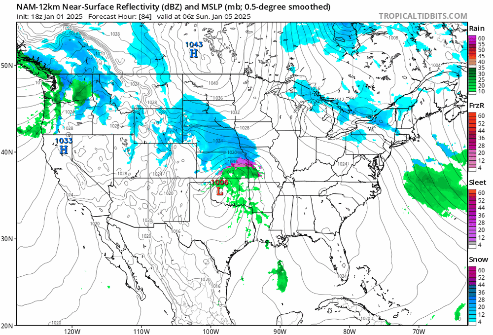
Looks like the southern low out of GOM becomes more dominant and takes over -
Winter 2024-25 Medium/Long Range Discussion
ChiTownSnow replied to michsnowfreak's topic in Lakes/Ohio Valley
I'm not sure I would call it pessimism when majority is based on history/facts and lots working against us -
Winter 2024-25 Medium/Long Range Discussion
ChiTownSnow replied to michsnowfreak's topic in Lakes/Ohio Valley
the difference from my untrained eye is that the wave ahead of it is a bit stronger, and gets a bit cut off which keeps the east coast trough deeper and further west long enough, which supresses the headline storm as it cannot amplify -
Winter 2024-25 Medium/Long Range Discussion
ChiTownSnow replied to michsnowfreak's topic in Lakes/Ohio Valley
So the new January pattern is the same as the old December pattern.. yay 2025 -
Winter 2024-25 Medium/Long Range Discussion
ChiTownSnow replied to michsnowfreak's topic in Lakes/Ohio Valley
Gonna take a bit for the models to sort out the timing of the pattern change & cold. as well as the moderation of the initial cold. -
Winter 2024-25 Medium/Long Range Discussion
ChiTownSnow replied to michsnowfreak's topic in Lakes/Ohio Valley
you have to go back a bit further .. their prediction for 15th - 20th time frame started late Nov /early Dec. i think someone actually posted it on this thread a while back . im not really bashing them, just pointing out the trend as well as the fact that he is in the hype social media business.. i think this is it. -
Winter 2024-25 Medium/Long Range Discussion
ChiTownSnow replied to michsnowfreak's topic in Lakes/Ohio Valley
that mild pattern was originally the current mild pattern we are in now, to proceed return of winter around end of month..


