

ChiTownSnow
-
Posts
814 -
Joined
-
Last visited
Content Type
Profiles
Blogs
Forums
American Weather
Media Demo
Store
Gallery
Everything posted by ChiTownSnow
-
Any read on wind gusts? Seems pretty legit from the east
-
Sleet mixing in here now.
-
Looking like 2/3rds of our snow will be this morning
-
Skilling just mentioned that balloons went up at 6pm so the 00Z runs are first to read. So not sure if that is what led to the colder aloft?
-
Pretty nice run
-
Well in that case sign me up..
-
nope.. nope. not doing that. that failed me last time . those blizzard warnings out west make a lot of sense now
-
oddly quiet as of late.
-
Man.. that EPS is a Milwaukee crusher
-
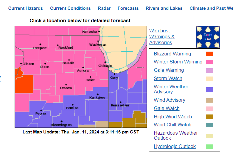
Hmm.. is that a Blizzard warning that i spy
-
Can I take the buy out option at 8" and run ?
-
Hurricane eyewall?
-
Got to love Accuweather. https://www.accuweather.com/en/winter-weather/perilous-blizzard-to-thrash-midwest-followed-by-dangerous-flash-freeze/1611131 The storm is on track to deliver 8-12 inches of snow to downtown Chicago, with some neighborhoods possibly facing a scenario in which 12-18 inches may pile up. Blowing and drifting snow on top of that will result in snowdrifts several feet high that can cause vehicles to be stuck on highways.
-
Then they overcorrected at least min
-
How much (if at all) does the strength of the wind impact the temps off the lake. I would think stronger winds would actually help our cause then hurt? Seems like last storm that was not much wind which was more of a stagnant steady breeze off the lake and no mixing of air masses.
-
What.. My number changed. I want my old number back
-
00Z guidance has been a huge confidence booster
-
Lake enhancement gets cranking for MKE. Could see that for a bit early Saturday
-
Cold air wraps in quicker.. more snow on the cold side. Hopefully that continues
-
Yeah GRAF.. anyway, rain snow was well south, similar to 00Z GFS . crushed Milwaukee
-
Skilling showed an IBM GRAF model....wtf is that?
-
That same scenario didn't really pan out with the last one tho
-
Adjustments early out west are real tho..
-
Precip shield looks so odd. Like it's too far N with the front end and disconnected
-
Was the city/south end of the winter storm watch debated heavily internally? Or was there good agreement?


