

OrdIowPitMsp
-
Posts
1,908 -
Joined
-
Last visited
Content Type
Profiles
Blogs
Forums
American Weather
Media Demo
Store
Gallery
Posts posted by OrdIowPitMsp
-
-
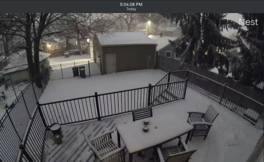
Wind is rocking.
-
 1
1
-
-
Theres going to be no way to get an accurate measurement when this is all said and done.
North is the left side of the photo.
-
Beginning to hear those house creaking gusts. Some drifting in the front of the house since we live on a N/S oriented street.
-
First Blizzard Warning in the Twin Cities metro since April 14-15 2018 when we were hit with that 16" monster.
-
Intensity has really picked up over the last 15-20 minutes. We are going to add a lot to our total over the next few hours.
EDIT: Just upgraded to a Blizzard Warning!
-
4
-
-
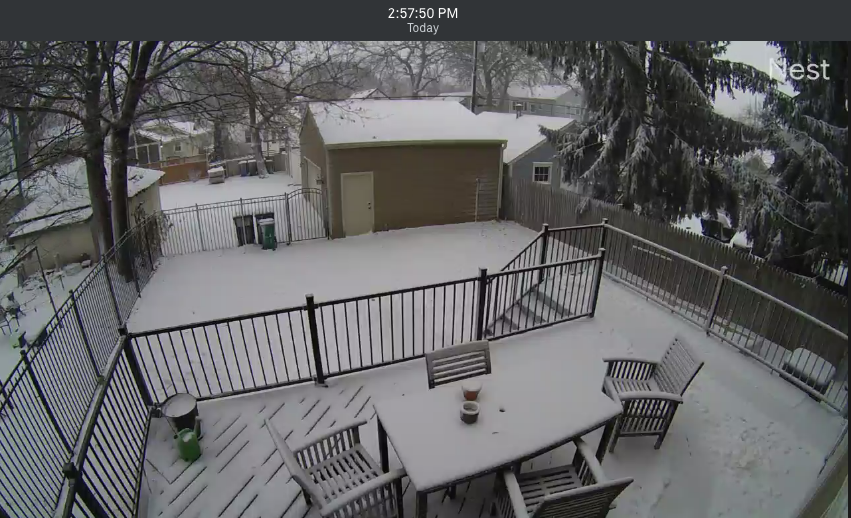
Flake size and intensity has improved. Didn't expect to see large intact dendrites with so much wind.
-
First hour in the books. 32F with steady snow and wind both picking up.

-
5
-
-
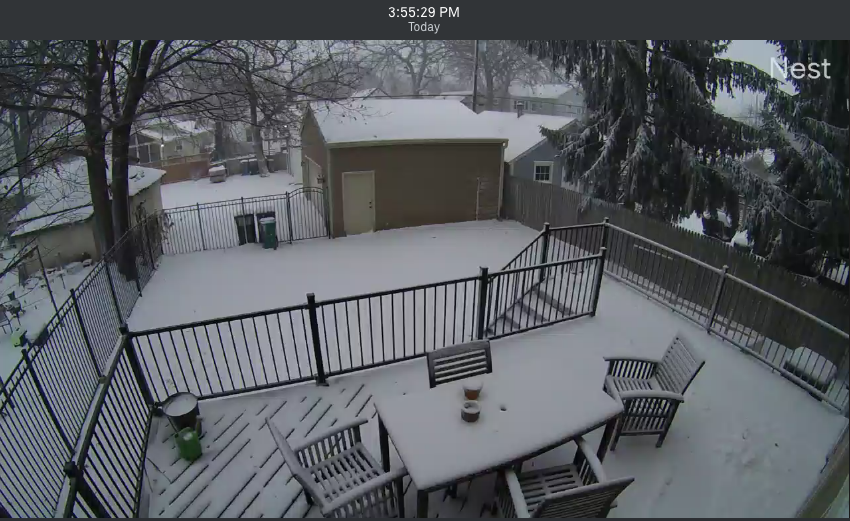
Mostly frozen wintry cocktail down to 34F and creating an icy base layer.
-
Lets see what this view is like in an hour or two, or six.

-
4
-
-
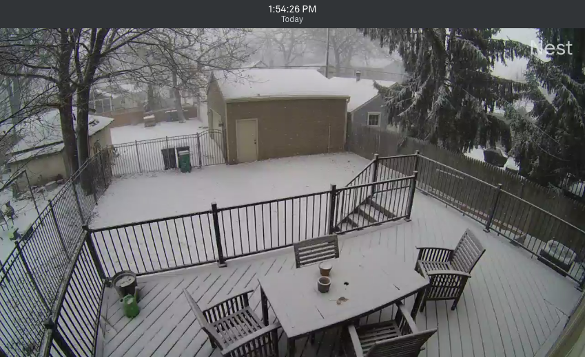
....and its showtime. Winds went from calm to breezy and our steady 40F temp is dropping quick in the last 5min. Changeover should happen in the next 30 minutes.
-
Light rain has commenced just as modeled. Latest runs of the HRRR would suggest double digit totals very much in the realm of possibility here.
18.7" on the season, lets see if we make a run at the 30" mark.
-
19 hours ago, OrdIowPitMsp said:
Pretty much inside 24hrs and I still have no idea if the deformation band will barely coat my grass or give me some solid powder skiing tomorrow.
Unreal this was my thinking less then 24hrs ago.
Gonna go full on blizzard mode here by mid afternoon.
-
Whoever sent me the snow magnet, Thank you!

-
1
-
-
Going to snow sideways

-
2
-
-
Posted in wrong thread but near Blizzard conditions might be realized here tomorrow. It’s crazy the evolution on the models since the 12z runs this morning. Double digit totals might not be out of the question. (If I anyone can accurately measure with 50mph winds)
-
Wow trend cannot be denied. Looks like blizzard conditions very well will be imby tomorrow. P&C at 5-9” with gusts to 50mph. Rare full forecasters discussions write up at 8:45pm. Worth the read.
-
3
-
-
00z HRRR says game on here with 6”+. I want to buy it but think the trowel feature is overdone.
-
Latest 3km NAM shows a solid 4-6” across the metro. Trend is looking good for the twin cities
-
P&C has 2-5” for mby tomorrow. Should be an interesting afternoon with the wind cranking up.
-
Pretty much inside 24hrs and I still have no idea if the deformation band will barely coat my grass or give me some solid powder skiing tomorrow.
-
NAM/GFS say nuisance snow for mby, maybe a low end advisory event due to holiday travel.
Euro says all out snowstorm with 6-12” and time to hoist WSW.
-
1 hour ago, Brian D said:
3-5" around here with this system. Wet snow at 30degF. Finland, Isabella haven't reported yet, and they ended up with more I think. Radar showed stronger returns that way for a longer period of time.

You guys really needed it, glad the clipper worked out for the north shore.
-
Wintry mix here this AM.
-
GFS has changed course and doesn’t have much defo band precip at all for my area. Main snow shield stays with the WAA wing of the storm up on the Canadian border. Probably the right solution considering we’ve gotten 0.10” of precip in the last 5-6 weeks locally .


Christmas Eve 2020 Snow Potential
in Lakes/Ohio Valley
Posted
Crystal MN airport. (Northern Suburb) just gusted to 66mph