CADEffect
-
Posts
109 -
Joined
-
Last visited
Content Type
Profiles
Blogs
Forums
American Weather
Media Demo
Store
Gallery
Everything posted by CADEffect
-
e16 everyone is happy...:)
-
I find it hard to believe on FV3 the HP is in a perfect spot for All the CAD areas to score here. What am I missing?
-
Grit I assume that’s what everyone calls you. I’m a seasonal reader and poster. Just also noticed with your post the 850 hasn’t changed compared to the last run FV3. I would like to see that trend further south at least toward Columbia S.C. I’m in the upstate S.C area.
-
I really need to read up more on plumes and their accuracy. The GEFS plumes paints about a 5in snow storm around KGSP. I still need to do research, but ensembles and plumes are painting a different story then the operation models are suggesting. I am assuming that is why it’s important not to just go by the GFS or the EURO or any OP model alone, but use its members and ensembles.
-
850mb moving in faster for the upstate S.C. area. Let’s see if it can hold on and continue to push southward.
-
Are you just now getting to this ball game?take a look at the FV3 and Euro yesterday.
-
It just seems to me the Euro has been on an island of its own. With historical numbers yesterday to nothing at all. You got to think the OP isn’t really got a grip on the HP yet as well as the wave.
-
think you guys may get some IP in the morning?
-
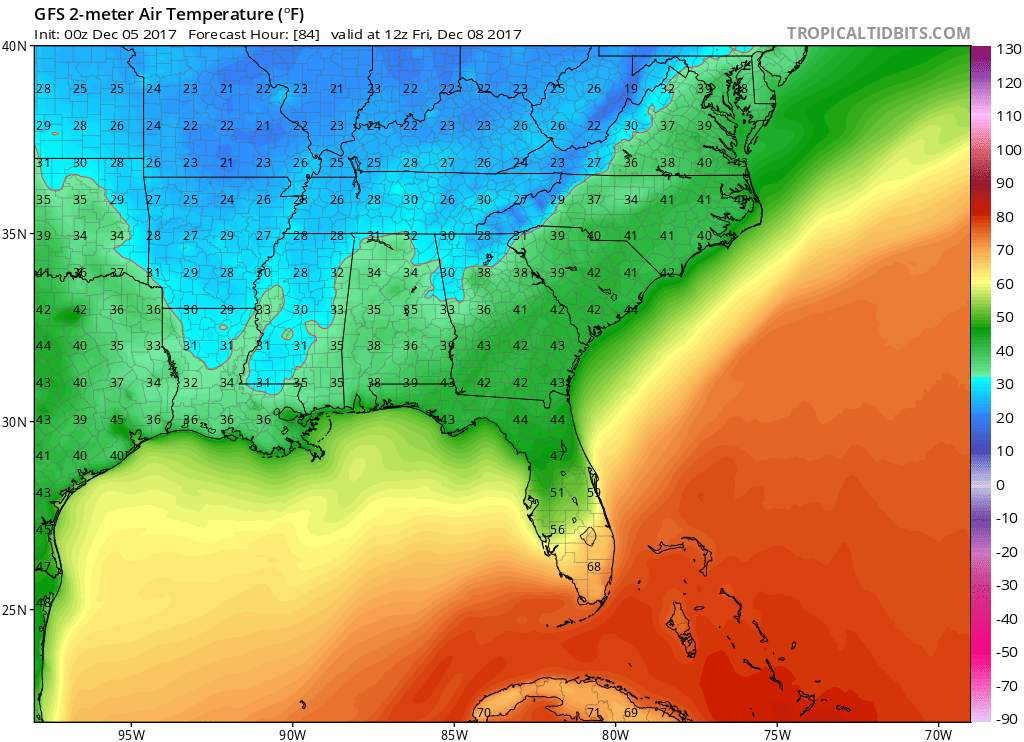
maybe, what did you top off high temp today?
-
i honestly don't understand, why we are creating threads on storms without most model consensus??? Are we running on feelings now?
-

The December to Remember 7th-8th blue turd winter threat thread.
CADEffect replied to lilj4425's topic in Southeastern States
I noticed that to. Almost like the Low has stopped tapping into the gulf. -
The December to Remember 7th-8th blue turd winter threat thread.
CADEffect replied to lilj4425's topic in Southeastern States
SREF where can I find that at? -
The December to Remember 7th-8th blue turd winter threat thread.
CADEffect replied to lilj4425's topic in Southeastern States
The temps are almost there but the precipitation?