

kvegas-wx
-
Posts
2,073 -
Joined
-
Last visited
Content Type
Profiles
Blogs
Forums
American Weather
Media Demo
Store
Gallery
Posts posted by kvegas-wx
-
-
2 minutes ago, jjwxman said:
12z EPS: You really can't ask for much more than this at this stage in the game. Roll on!
A 1040 HP parked over Buffalo next to a frozen Lake Erie? But I'll take what I can get.

-
 1
1
-
-
19 minutes ago, ILMRoss said:
Ehhh... I don't really know if this issue is ever going to go away. The surface highs are nice, but the air mass we're inheriting is a rotting, modifying arctic air mass from earlier in the week. This air mass is going to be a pool of -3 to +3 C temps at 850, and I don't really know a mechanism that's going to change that. As of now, models have for the most part graced us with adequate temperatures, but this is a situation that might be somewhat more sensitive to mishandling of mid level temps than others. The entrenched cold air is never the thing that "wowed" us with this system, so far it's the qpf.
Making a note of these comments. Could be quite relevant in the next 48 hours or so once we get a better sense of the strength of the HP. I do hope you are wrong, but the little guy on my shoulder is whispering you are probably right.
-
3
-
-
22 minutes ago, CentralNC said:
Hate to temper enthusiasm but it's still 6 days away and much will change. Hard not to get excited though...
It's 5 1/2 days away and nothing will change. It's locked in. You heard it here first!
Seriously though, I bought two shovels today. The last snow shovel at Lowe's. I'll be returning it tomorrow and buying a plow if anyone wants my shovel.
-
 2
2
-
-
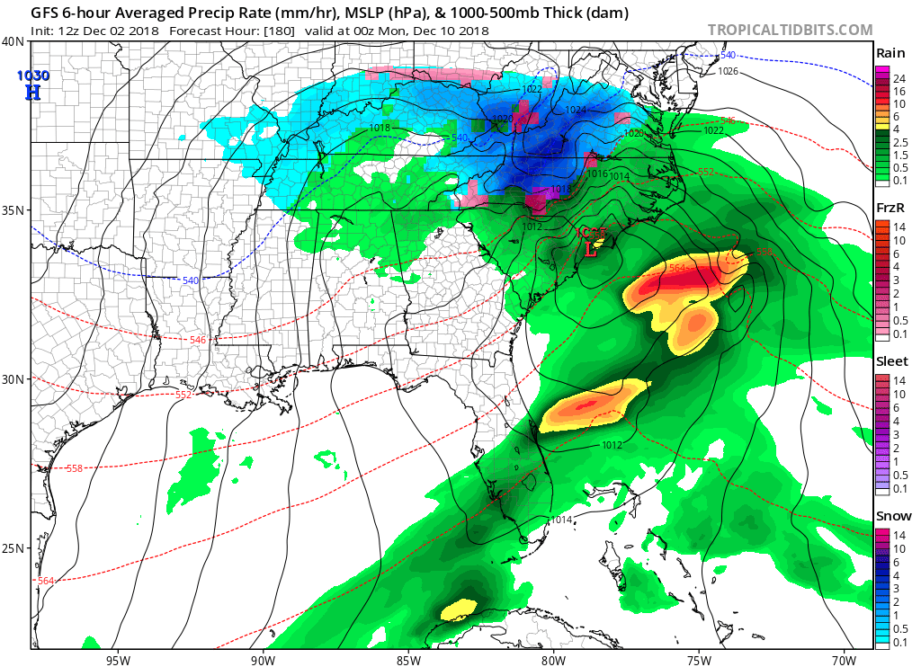
We had a slider across NGA last year and I think we had sunny weather that day here in GSO, so it isnt unprecendented. I just think its unlikely to see such a strong HP this early in the season to net that kind of supression. I'll keep my money on climo and go with a solid NC and upstate event for now. Significant snow in Dec into NGA is beyond rare.
-
2
-
-
2 minutes ago, Buddy1987 said:
Careful man don’t be unrealistic and get your hopes up or speak truth on what the models are showing around here. Might be taken out of context.

Anywho, 12z gfs is a beast of a storm for most the forum. Will leave my analysis short and sweet.
Lol, only place outside of DC where "truth" has a shorter shelf life is this weather board and my kid's snapchat. We get 6 hour doses of reality.
-
3 minutes ago, jjwxman said:
Taken verbatim the GFS drops 6-8 over the Triad before it changes to rain... But I’m not so sure I buy the switch over to rain along and west of the I-85 Corridor. Who knows...


With the ample HP to the north, CAD should be locked into place NW of 85. This is gonna be a snow or no event with a crazy sharp cutoff somewhere between Burlington and Durham. We've seen this movie before!
-
1
-
-
1 minute ago, Wow said:
It's a winter storm

Thats a beaut Clark! Classic everything!
-
None of this matters until I see a model showing me 65° and sunny for the two days before the storm. Cant have a great NC snowstorm without the warm and sunny prelude.
-
17 minutes ago, WidreMann said:
You thinking of the December 8th event?
Dont think that was it Widre because we were in the 40's and 50's leading up to that at KGSO. No HP in place pre-storm. This event as modeled has the HP in place starting on Friday. I agree with Buddy, I think this has to end up a slider if that banana HP is parked and cant understand why the GFS wants to run these systems into a brick wall.
-
53 minutes ago, Buddy1987 said:
Completely 1000% a discount at this point. GFS is notorious for doing this. There is no way the low is going to pile drive a banana high setup that way. Idk the flaw in the GFS model or why it has the tendency to do this but it is a staple with systems like this for GFS to eventually correct itself. Could it be showing a miller b rather than a southeast slider? Absolutely a plausible scenario. Regardless as others have mentioned the high is in a classic setup to provide positive results if you are a winter weather fan.
I swear I rememeber we had a similar setup last year where the GFS depicted this exact outcome and the board chatter was identical.. We did end up with a winter event, but cant recall the outcome. Ring a bell with anyone else, and if so, any similarities?
-
1
-
 1
1
-
-
Timing is everything. You only need a transient cold shot for 2 out of 31 days to make it a memorable December.
-
3
-
-
1 minute ago, jjwxman said:
That Wednesday system could be a sneaky system. Got to watch that too.
Yeah, REALLY sneaky considering my point and click forecasts in GSO are mostly clear with a hi of 42 for Wed into Thurs. I'm cool with a weekend threat next week. Spare me the midweek crap.
-
Clown map meltdown, here we go! Waiting for key buzzwords like dryslot, historic and underperform to start flying around like gnats above my sweaty ballcap.
Can we fire up Storm Mode yet?
-
Just pouring ZR with a little IP mixed in between Newland and Pineola. Roads icing up fast!
-
1
-
-
I'm up here for the weekend with you mountain peeps staying in Newland at a rental. Just drove through Banner Elk and the mountains all around Grandfather are covered in frozen fog. Very pretty day, but a precursor of things to come tonight. Definitely looking for a decent 6-8 hour event overnight. Leftover food, warm fire and a comfy recliner is all I need to make this memorable.
28° and heavy fog here on 221 now.
-
4
-
-
App Power still has almost 700 unique lines to fix from this storm. Only affecting about 15k customers across VA and WVA, but 700 lines is a helluva lot when this got almost no publicity and no help sent from neighboring states that I am aware of. My power is still out in Stuart but its only on a portion of my street with 34 customers.
What a mess with temps in the mid 20s.
-
December to remember coming up!! Love these trends. Bring me a cold D/J and then back into the 60's for F/M. :-)
-
 2
2
-
-
Back edge coming into SC on radar thankfully. Probably another half inch or so to go here in the Triad. Should easily put GSO into the #2 wettest year all time criteria. I can honestly say I have gotten almost nothing done outside this year.
Seems like wind is increasing all morning and we have power outages here in Kernersville. Dont need anymore of that nonsense.
-
I've had the DP map pulled up all day and noticed just in the last hour or so the 20(s) DPs are starting to ooze southward in central virginia. Actually made a strong push along the coast and sandhills. This should be fun to watch CAD at work so early in the season.
-
3
-
-
3 minutes ago, CentralNC said:
I know but there is a pretty good amt of real estate covered in warnings or WWA. Just figured there would be more interest on here. So be it.
I think normally this would be a blowout event for the region but the CAD is minimal for most of NC (low DPs are hung up in VA with only the border counties in NC looking good). I think we will see a mix even here in the central triad overnight but nothing to show for it. Even at my mountain house in Patrick county there is an elevation dependent WSW. Over 2500' looking for up to 2" of sleet. Under 2500' likely a mix with little to no accums. This will be a "close but no cigar" event for 99% of this board in NC.
The radar looks ominous though for ongoing flooding. We need a major break next week.
-
1
-
-
1 hour ago, CentralNC said:
Man, a significant ice storm headed for the mtns and foothills and it's dead on here. What's up?
Cuz there isn't really a significant ice storm headed for the mtns and foothills. Very narrow band of winners with this one. But rapid melting and liquid refreshments for most.
-
WSW...WSW!! Ugh. Can we please just get 2 straight weeks of dry and crunchy?? I'm tryna pour some concrete here!
-
We could have also measured the amount of grass seed and top soil lost and come up with these same rankings. This is painful!!
-
Today just sucked weather wise. The worst two temp ranges on the thermometer are 40's and 90's. Both are miserable, both generally come with other condtions like humidity and rain that make it unbearable to venture outside, and in the case of 40's its too warm to snow (lose) and with 90's its too damn hot to go on the boat and enjoy bikinis (lose).
Is it too much to ask for just 2 weeks of 58° and sunny? I'd like to use my leaf blower please.
-
1
-
December 8-10, 2018 Winter Storm
in Southeastern States
Posted
I equate this experience to watching Tiger Woods tee off on the 1st hole in the Masters on day 1 and having everyone (us) scream "Baba Booey!!!" as loud as we can. Meanwhile Tiger just snap hooked the ball into the trees about 200 yards down the fairway.
Moral of the story.....no amount of screaming and enthusiastic support could have made that ball go straight.