
snowmagnet
-
Posts
1,071 -
Joined
-
Last visited
Content Type
Profiles
Blogs
Forums
American Weather
Media Demo
Store
Gallery
Posts posted by snowmagnet
-
-
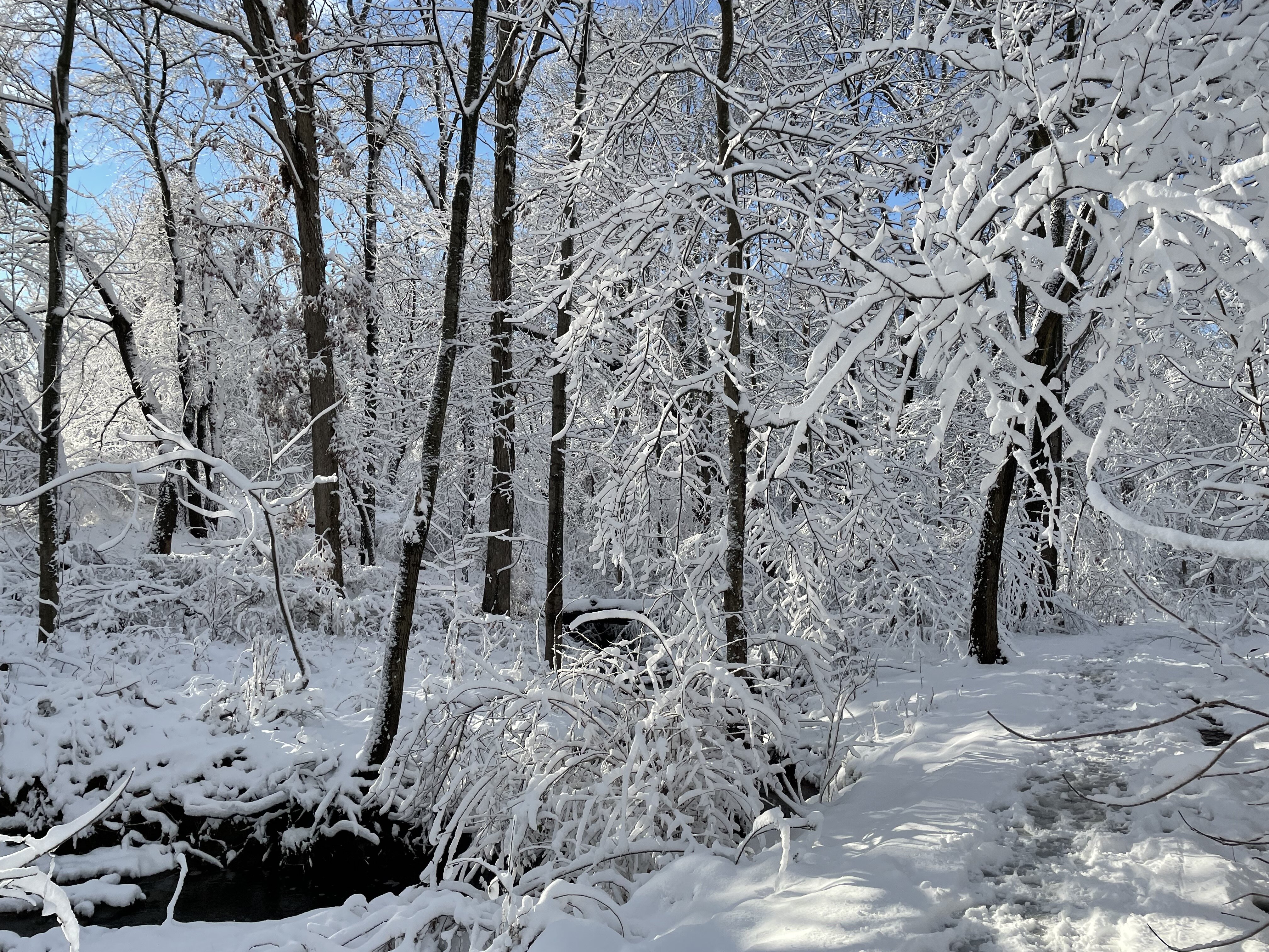
Heavy furries here now.
-
1 hour ago, anotherman said:
The AI is becoming the new Dr. No.
Or the King.
-
Getting some very light snow now...
-
 1
1
-
-
2 minutes ago, 87storms said:
That sucks...my office has been hit with a few cases of the flu. Something is going around.
https://radar.weather.gov/station/klwx/standard
Yeah, I work in a middle school. We've had a ton of sickness going around. I was really hoping last week's storm would have given us enough to keep us out of school Wed-Friday to clear the germs, but no such luck.
-
7 minutes ago, 87storms said:
The DC snow magnet might not be able to escape snow today. Radar looks pretty good. In the Frederick rain shadow...I expect non-accumulating clouds.
I think DC is famously the snow hole. Radar seems to agree this time. Wrong side of the magnet - looks like we are repelling.
-
Just now, BristowWx said:
yep. you do. very light SN here in Chantilly as I sit at work wondering where my life is headed
Thanks- I thought maybe it was a fever hallucination. Lol.
-
1
-
-
Just now, 87storms said:
The DC snow magnet might not be able to escape snow today. Radar looks pretty good. In the Frederick rain shadow...I expect non-accumulating clouds.
You rang? I am snowmagnet. Just sitting at home stuck with sick days instead of snow days. Flu for the win.
But I think I spy some tiny flurries outside my window here in Western Fairfax.
-
1
-
-
49 minutes ago, Bob Chill said:
Lol. I'm just doing what I always do. Call it like I see it. I don't want my name attached to anything.... well, maybe after the widespread 8-15" event. I'll take credit then and only then
 hahaha
My hesitation during today's debacle storm was that we hadn't heard from you. It should have been a red flag...
-
4 minutes ago, Bob Chill said:
Virga was minimal. First flakes ongoing. I may end up in a dead zone between the TN valley and coastal dance but for now, it is snowing and sticking
Was it supposed to start this early?
-
11 minutes ago, Bob Chill said:
Probably but I think what's coming is being underestimated. Not in a big snow way because guessing that is impossible. All guidance is congealing on a version of the "big bowl". If you can't have a gnarly 50/50 or am effective-NAO, the Big bowl is the next best thing for suppressed flow without elevator up and down amplification (one of my least favorite patterns for snow). Progressive up and down produces big storms but they are narrow, fragile, and widely spaced. Miss one and you might be done lol. I'm prob a minority where I'll gladly trade a one and done big storm pattern for an extended active pattern. What I want doesn't mean shit but i like what i see today even better than the last couple. This is an active pattern with cold over the entire continent
Bob has spoken.
-
1
-
-
48 minutes ago, Ji said:
I was watching a DT video a couple of days ago and he mentioned one reason to go against the storm is because it wasn’t falling on a weekend and all our big storms have been weekend storms. Is that a thing
Wow. He's right. https://www.nbcwashington.com/news/local/ten-worst-storms-in-dc-history/60569/
Jan 22-24, 2016 - Friday to Sunday
Snowmageddon - Friday to Saturday
Blizzard of 1996- Saturday to Monday
-
Just now, BristowWx said:
I’m on the 3 inch line. Ha. Ok
You know we all secretly hope that he's right this time...
-
 2
2
-
-
This place is pretty funny when we have already accepted failure.
-
15 minutes ago, Amped said:
Gotta brime everywhere over .1".
They already have
-
1
-
-
3 minutes ago, Kevin Reilly said:
February 3rd into 4th 2007 Norlun trough all models has zero Nam nailed a band 25 miles north and south and 90 miles east southeast from Lancaster Pa to Ocean City Nj picking up 4-12”.
So you are saying we should trust in the NAM and plan for our 6” this week.
-
If they are getting rid of the NAM, what short-range models will they use?
-
5 minutes ago, PrinceFrederickWx said:
Dec. 2009? While I think the other models had snow too, the NAM the day before was the first to show the beatdown IIRC
Boxing Day (but in the other direction lol)
Not Dec 17, 2009. That was well modeled for over a week. I followed Howard Bernstein at that time. He was really good at explaining the phasing.
-
11 minutes ago, BristowWx said:
I wonder is that was March 1999...if so I remember something like that happening...inverted trough...can't remember why
I don’t know if the NAM predicted that one, but it was around March 8th, 1999. It was a disaster out here in Fairfax where the snow was a beat down in the morning. I called my office in Silver Spring, but it was barely snowing on the other side of the beltway. We ended up with around 8-12”, but roads were clear by afternoon.
-
Do we still have the NAM and the SREF?
-
9 minutes ago, RayRoy said:
His forecast has always just been the NAM. No wonder he’s getting mad again when people still don’t realize it.
That’s not true. He follows the Euro usually, but there are many factors. It often depends on the type of storm and he explains why one sometimes has bias. And he points out that there are problems with the global when you get closer to an event. I followed him in 2014 before I discovered this group and I found him to often disagree with tv Mets and he was usually correct. But that was also a good February.
Sometimes he is very wrong.
-
3
-
1
-
-
21 minutes ago, psuhoffman said:
@WEATHER53 you have every right to feel the way you do. Really. I’m not gonna try to change your mind. You do you!
But I have the opposite perspective. As complex and chaotic as the atmosphere is with so many variables and our limited ability to sample it at every level at every location…given those realities, I’m amazed we are able to model it as well as we do! It’s so complex.
I don’t feel let down by the models this week. I feel let down by me. I started getting excited about this window before the models did. When they showed up to the party it just increased my confidence more. But it’s my own excitement and desire for a major event that let me get carried away.
I knew a month ago my analogs and pattern recognition weren’t 100%. When I listed the years I pointed out a couple didn’t really produce much snow. Most did. And when the models started showing big storms I started to dream this was one of those years. No hecs I never bought that the pattern didn’t say that but I was thinking secs-MECS. But that was risky. Even good pattern fail a lot. And I should have known better. I let my emotions get the better of me. That’s on me not the models.
This! You have a lot of pressure on you and it’s really not fair that so many blame the messenger. People want to know if there is a chance of snow, and then they get pissed at the meteorologists when it doesn’t happen. It’s way too stressful.
I love the banter on this forum of bipolar snow nerds. It’s a great place to geek out over pretty snow maps and learn something about nature and meteorology in the process.-
1
-
-
8 minutes ago, psuhoffman said:
JB threw in the towel
Which one?
-
Why do we always remember the storms that weren’t? What about these surprises ?
Veterans Day 1987, March 1999, Ji’s storm in January 2022.-
1
-
-
11 minutes ago, Scraff said:
I know I’m typing to a group of zombies here at this point, but If anyone cares to keep just a flicker of hope alive, from Justin Berk:
“It is Presidents Week, and historically, half of our top 25 snowstorms fall this time of year. So when the computer guidance pointed us to a major storm, it was easy to believe.
That winter storm has had a trend on many models farther south to even miss much of Maryland and PA… My hesitation is that the full energy from the Pacific Ocean is not ingested into the modeling yet. It will today. So if there are any more blips in the projected development and track, they will show up today.
I need to emphasize and consider that weather events that did miss this winter have had one thing in common: They verified farther north than models forecasted. Yes, the prime events did hit south of Baltimore, but the misses were plots too far south. There is a bias to push cold air in too soon AND to push it too far south.
Here is what is weird AND NOT wish-casting…. The Euro and Canadian have it missing south, while the American Models GFS and NAM 12K keep it closer.
The current Euro looks similar to what the GFS did last week. So, is it leading the charge with something now? I also need to point out that a few weeks ago, the Euro had been too far south, and the GFS beat it. I made sure to acknowledge this in my storm report, so all bets are not off.
The model run this morning should include the needed energy. By mid-day, I will personally have a better idea if this will be a hit or miss and make my first call”.
Thanks for sharing. I follow Justin and haven’t read FB yet today.
-
1
-

February Medium/Long Range Thread
in Mid Atlantic
Posted
Look who's being positive!