

Newman
-
Posts
1,991 -
Joined
-
Last visited
Content Type
Profiles
Blogs
Forums
American Weather
Media Demo
Store
Gallery
Posts posted by Newman
-
-
13 minutes ago, Ruin said:
is the storm drier then modeled ?
Not drier, it's still really early and it always takes time to saturate the near-surface column. That initial extension of precip was always going to have to fight dry air to start (if it went through the area). Later on, no dry air at all. In fact, the reason we're seeing rain is basically because of the stronger system down south diabatically heating the downstream atmosphere to pump the ridge more (i.e. raising heights and leading to rain).
-
 2
2
-
-
I think the 0.0 streak unfortunately continues at Millersville tomorrow. Yesterday's snow just wasn't enough here to catch a measurable designation. For record, the lowest seasonal snowfall ever recorded at MU was 4.0" back 1949-1950
-
-
Snow falling here in Lancaster. Mount Holly thinks areas of Berks-Lehigh counties get 3-5"+ Wednesday
-
Snow mixing in here at Millersville
-
1
-
-
-
-
18z GFS for Monday. Has backside changing to snow now

-
 1
1
-
 1
1
-
-
NAM is quite a thump Sunday night
-
12z NAM

-
1
-
1
-
-
Unfortunate overnight runs last night. Still think areas like Harrisburg west can see 2-4" (maybe more) with the Monday system. Here at Millersville, we are nearly +11 for the month through day 18
-
3
-
-
Figures the overnight runs would go to crap. I understand we can't hang on op runs, but have we even had one instance of consecutive runs that give us snow all winter?
-
1
-
-
Euro with back to back snowstorms!


-
2
-
-
Euro is ticking snowier for the Monday event. NW burbs thump to start this run, central PA areas stay all snow

-
1
-
-
-
Euro with a D5-6 threat and a D8-9 threat. Far interior favored for the first verbatim, coastal regions the second storm. Places in the middle (like Berks, Lancaster, etc) kinda get skunked.
-
1
-
-
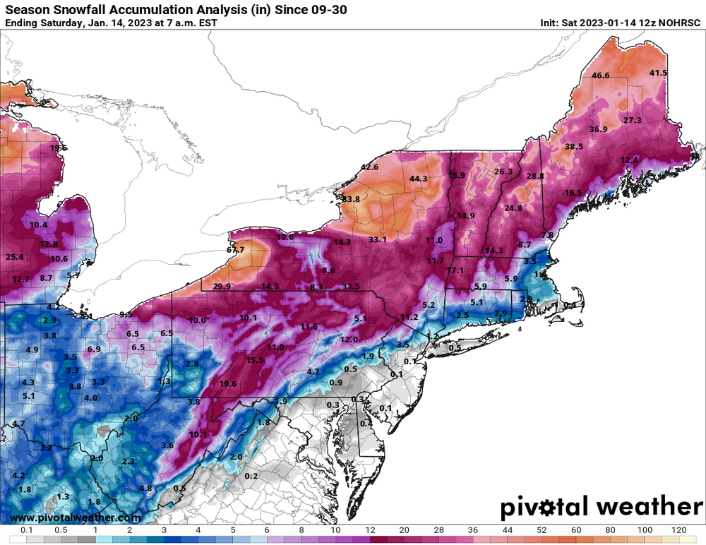
Regional snowfall update, not much
-
1
-
-
2 hours ago, Blue Dream said:
Thanks for the optimism Ralph...this winter reminds me of 2019-2020 so far. Hopefully we can half a decent storm at some point.
I think I ended with 7" 2019-2020. This winter I'm only at 1.8 so far, and that's from 4 or 5 total "storms" lol. A nice 2 or 3 inch storm would be nice at this point.
-
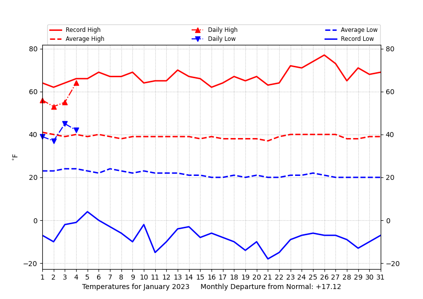
Temp departures are crazy to start this month. Philly at +17, Allentown and Reading at +15/+16 and Mount Pocono at +23! Had a midnight high of 59 degrees here, only made it to 58 this afternoon
-
1
-
-
Just your typical +17 temp departure at Millersville to start the month (today's data not included). Hoping for the Jan 13-15 threat to work out!
-
Currently 61, dewpoint of 57. Feels like a warm summer morning.
-
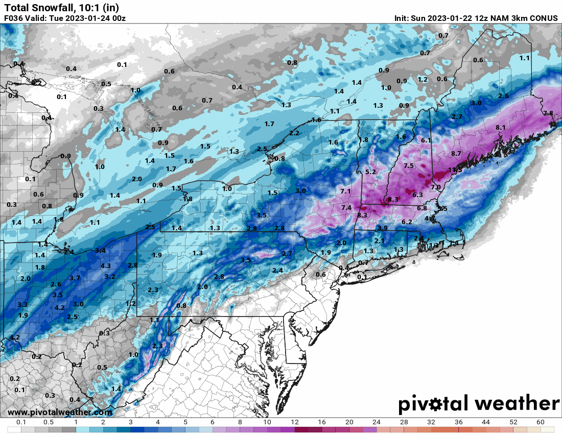
GFS with a light event this weekend


-
1
-
 1
1
-
-
28 minutes ago, ag3 said:
Probably even worse when there is only a trace through January 10th, like there will be this year.In a La Nina year with a tendency for SE ridge/western trough no less. The background state has been set for years now, it seems we need to get lucky for a +PNA and -EPO pattern with high lat blocking. It can happen, but is becoming less and less frequent it seems at least.
-
1
-
-
Can't confirm if this is real or fake, but it appears posted from a reputable source
-
1
-
1
-


Central PA Winter 2022/2023
in Upstate New York/Pennsylvania
Posted
Whoa snow is really coming down here at Millersville. In 5 minutes it went from nothing to moderate. Coating already on everything, so finally measurable on the board! I hope I'm wrong and we have a positive bust today!