

BlunderStorm
-
Posts
1,122 -
Joined
-
Last visited
Content Type
Profiles
Blogs
Forums
American Weather
Media Demo
Store
Gallery
Posts posted by BlunderStorm
-
-
5 minutes ago, Carvers Gap said:
Bout all we can say today and bout all we can ask for at this time frame from the 12z model suite:
1. System is south of us. Check
2. High pressure over the top. Check
3. Storm. Check.
In other words that's the recipe.
-
 1
1
-
-
30 minutes ago, 1234snow said:
The 12z GFS clown: Coming into agreement with last night’s 0z Euro.

Oh Snap! That is a VERY heavy wet snow... look at the bullseye around the Lee, Harlan, Wise area. That would be pretty devastating to the power lines. It reminds me of December 18, 2009. Only one run a week out but still interesting.

-
I'm loving tonight's Euro ensemble members!
-
For the first time in a few weeks it's reached 60 today thanks to some breaks in the clouds. I can always appreciate a warm reprieve after a long period of cold.
-
On the ICON as it begins to come into range it has the high ahead of the low. By the looks of it the high stays in place overtop of us on Saturday in the northern Ohio Valley but is gradually drifting east. The low looks nicely situated on the gulf coast with a defined center. Just speculating on how everything would interact it sort of looks like it would overrun us. I could see the high pressure perhaps keeping the storm south of some parts of our area in the NW but there isn't any mechanism to introduce colder air or keep the already situated cold air in place. I certainly agree with your all's assertion we want the high in the right place above all else. The storm in some form or fashion is seeming a given at this point. On the FV3 it seems to me it can't decide what to do with the storm. We end up with a broad area of low pressure with a center inland and another on the coast. The High in the plains is also accompanied by a high over the NE which delays the onset of the storm and brings relatively warmer air even further north than the last run. In prior runs the FV3 still has this but the high diminishes earlier. All in all confusing to wrap my head around and it's too far out to overthink it.
 lol.
lol.
-
2
-
-
Wednesday looks pretty good for SWVA and parts of NETN on the GFS 12z. It's seems pretty insistent over many runs but it seems like the other computer models aren't having it. A little later the clipper could drop some pocket change here on top of that but the low will probably be too north.
-
2
-
-
Does anyone know how to make the font on a forum topic title bold?
-
27 minutes ago, Carvers Gap said:
That particular solution would likely drag plenty of cold in with it. We have dealt with so many weak systems, I can barely remember how a true GOM originated storm works. Heights would crash quickly. Was nearly a perfect comma. Strong coastals that originate in Louisiana and move just inside Hatteras can have snow, sleet, and rain in them. Some even begin as rain. When I was younger, we were good with that. We knew that as the system turned the corner it would change over. Most truly great winter storms will drag some warm air. Still a long way to go...but a fun run!
Yeah, you are right as the storm curved the cyclonic wind flow would turn in our favor. Still, so many things have to go just right for something the FV3 depicts. You really need a stout cold air mass behind it. It will be interesting to see what the models eventually settle on in terms of the path the storm takes in the coming days. I'm hoping for one significant event before Christmas. I know it's a long way out but my fingers are crossed. More in range it looks like Wednesday may have some snow showers after the next cold front passes on Tuesday.
-
1
-
-
1 hour ago, Carvers Gap said:
12z FV3....Welp. The snow map is impressive...and it isn't over even at 240 which is as far as the map goes.
Ha, realistically I imagine a low that close would cause a warm nose that would overrun all of us in the east.
-
I figured since meteorological winter was just around the corner I'd go ahead and get the new observations topic ready. Let the season begin!


-
1
-
 1
1
-
-
Home
.thumb.jpg.7a2eb982e0b517f5ca66fec0e3a5040d.jpg)
Side Note: Can't keep these images up for long these 10 images really ate up my attachment space.
-
2
-
-
...and even more
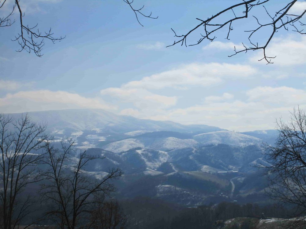
Looking towards Tazewell County.

Chestnut Ridge

Beartown Mountain
-
2
-
-
Here's some more.
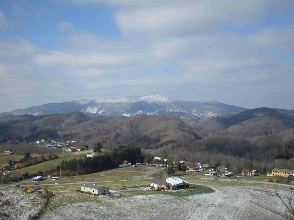
Stone Mountain

New Garden Valley

Appalachian Plateau

-
2
-
-
In total I got a little under an inch of snow spread over the last two days. The last of the snow showers ended here at 10:30 this morning. Seeing a good opportunity to take some pictures, for the first time in over a year I decided to hike on top of Chestnut Ridge on Gents Knob which sits at 2500'. (where I live). The hike up there is frustrating without any trails but the view is worth it! While up there I took pictures of the mountains after the sky cleared out. I'm certainly not a skilled photographer but I thought these were some good shots. Getting these to upload were a hassle and I ended up having to compress the images at 20% quality. Today's low was 17 and the high was 30. Snow on the southern faces of the hills and mountains sublimated away rather quickly this morning but stuck around in the shade.
River Mountain

House and Barn Mountain

Big A Mountain
-
5
-
-
Right now it's moderate snowfall with nickel and dime size flakes. It's 21 degrees with 15 mph winds.
-
2
-
-
If downsloping doesn't win out A good wave of snow is coming in from the KY/VA border! I really hope it sticks together. Currently 23 with flurries.
-
1
-
-
24 minutes ago, 1234snow said:
I was in Lebanon for most of today and there wasn’t much to write home about. But I’m not sure if Honaker gets more than south of there.Flurries were consistent throughout today but didn't result in much more accumulation. Maybe a 0.1 but it's negligible. Since I don't have a snowboard I measure on a piece of light gray porcelain tile I place evenly on the yard. Sometimes a breeze can make the snow uneven and make a measurement tricky. Anymore I avoid taking a measurement on grass because it can exaggerate the measurement so I measure on the tile anyway and try to find a good place to mark the accumulation on it. As a general rule Lebanon is snowier than Castlewood and Honaker is snowier than Lebanon. What's funny is Lebanon sits 200ft higher in elevation but is typically warmer. For whatever reason no matter where you stand it always seems to be colder the further upstream the Clinch River Valley you go. I'm glad you guys in the Tri-Cities got some real snowfall from that band. I'm curious for what the measurement at the airport will be.
-
1 minute ago, 1234snow said:
Just drove through a really nice snow shower in Bristol. Really interesting band has set up south of Kingsport today. Nothing much in SWVA today.
We got a little more action up here. I haven't been able to take a measurement being held in the school but I expect there should be a few more tenths of an inch.
-
1
-
-
Half an inch is on the ground and it looks like I'm not getting out of the 20s. Today feels more like January than late November. As a side note Flurries have been steadily falling for hours.
-
1
-
-
Wahoo! I normally wouldn't stay up this late but I'm sure school will be at least delayed and it's coming down pretty good!


Now I'm usually not this giddy but when a squall comes through real early in the season out of the blue it feels just that much better. If someday I move further south the lack of snow is going to be a drag but on the other hand the novelty and rarity of the snow help me appreciate it more. If I moved up north I'd probably get a little tired of the mini six sided falling water ice crystals. I like it up here every year you know it's gonna snow but the question of how much always comes up.
-
3
-
-
It looks like a burst of snow is blowing through Pikeville atm. I'm hoping maybe it translates to something down here in 30 minutes. Currently 29 with flurries.
-
1
-
-
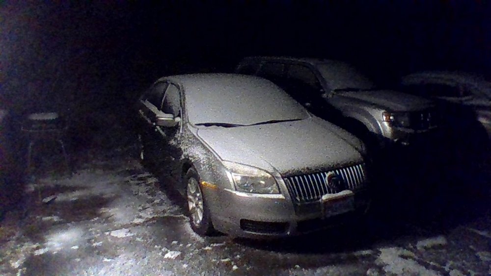
A brief burst of moderate snow under the radar caught me off guard and has left the ground with a dusting. Right now it's reverted back to pretty much what John described.
-
2
-
-
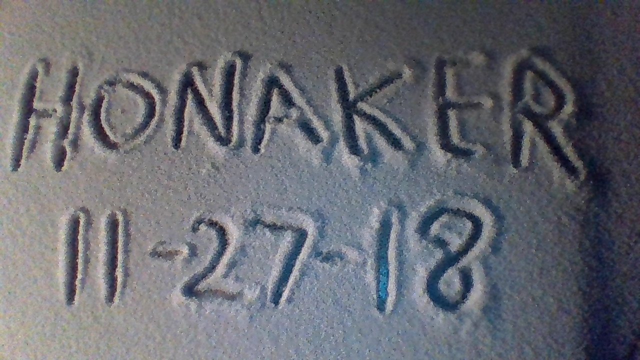
A few flurries outside in downtown Honaker.
-
1
-
-
8 hours ago, John1122 said:
The 3k NAM is spitting out 2-4 inches around my area in persistent snow showers. Probably above 2000-2500 feet. It's the most aggressive of the models with the snow showers. But they persist for the better part of 48 hours on the hi-res models. I'm just hoping to see flakes since I was in Florida for the snow showers last week that dusted the ground.
I've learned quickly that positioning matters as much if not more than elevation. If your on a NW facing slope 500 ft lower in elevation than someone in a high valley you can get more out of these sort of events. Uplift can do wonders on the NW slopes. I'm hoping for a dusting out of this but I'm expecting Lucy pull the football out from under me. I would be surprised if I didn't at least see some flurries though.

.jpg.673be2ffd58758f7464351650b28100f.jpg)


December 2018 Pattern And Forecast Discussion
in Tennessee Valley
Posted
I feel much better than yesterday about the system. The weather models have really went for the southern track in a big way. Right now a cutter is looking a lot less likely. Miller A's and Sliders are what I'm hoping for and that's what I'm seeing. There is plenty of time for the models to sort through this mess and with our storm in the pacific atm there is a ton of time for the NW trend. (Maybe too much time.) If this storm has to be a near miss I'd rather it hit south of here than north of here. I hate being excited for this as it seems too good to be true too far out.