

BlunderStorm
-
Posts
1,122 -
Joined
-
Last visited
Content Type
Profiles
Blogs
Forums
American Weather
Media Demo
Store
Gallery
Posts posted by BlunderStorm
-
-
2.1 inches as the last band slid through. Unofficially 3 inches in the grass. I wont put that as final for obvious reasons and I'm sure a little more will come from snowshowers in the following days. I remembered saying 1" was victory quota and 2" was what I really hoped for. Success! This event also puts the seasonal snowfall into the double digits.
-
 4
4
-
-
12 minutes ago, AMZ8990 said:
It’s my fault we lost the thread guys/gals, I sincerely apologize. I went to edit the keywords for the thread and somehow I managed to delete the entire thread instead of just editing the keywords for it. I tried to refresh my browser and go back but by then the server told me I could not access the threads data anymore. I feel like crap guys, this is my bad.
AMZ
No hard feelings about it.
-
 1
1
-
-
Last to the party and I'm just as surprised as everyone else about the thread disappearing out of existence.
-
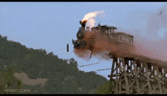
It's a very similar sight here too. The snow has been falling steadily for a fair amount of time now. I slept through 2 hours of an alarm going off. How, I don't know but I am pretty happy regardless. I rode the train off the rails and wouldn't you believe it survived. Accumulation on my tile is 1.2" and 1.8" in the grass.
 I believe it's time for a looong overdue Jeb Walk!

-
2
-
 3
3
-
-
Sigh, honestly I just find it as a matter of throwing a laugh in a relatively disappointing trend. Maybe some would disagree but I like having some comic relief in every thread to different degrees depending on the topic of course. I'm not an educated hobbyist and I'm certainly far from being a met but I could probably contribute more than I do. I leave a lot of the analysis and critical thinking to Carver and Jeff etc. There is plenty of valuable information in the threads if you look for it.
-
1
-
-
On 1/26/2019 at 10:57 PM, wxnut said:
Weather Underground took over Intellicast earlier this month, and have ruined that site too. Intellicast had a really nice interactive radar animation map.. now it's gone. I used to be a big fan of Weather Underground and Wundermap with their PWS data.. but between the awful ads and the takeover of other sites, they just keep getting worse and worse. Sad to see..
Yeah Intellicast's interactive radar was my go to map for nowcasting. I had an idea the weather company would eventually take down intellicast but it still left a sour taste in my mouth. The Wundermap is so slow and irresponsive for comparison.
-
bummer...


-
 1
1
-
-
I like the look of that because of the small window I have for snow mid-morning.
-
I don't want to even hear about Spring until April. That is unless I finally get the 6+ in. snowstorm that has eluded me for the past 2 winters
 .
.
-
1
-
-
The cold over-performed last night. The temp reached 2 degrees. I also enjoyed watching the Super Blood Wolf Moon. (lol.) As I never had viewed a lunar eclipse before. Of course the night wasn't perfect. The Pats had to win that coin toss...
 The game as a whole, especially the 4th quarter was frustrating. They definitely needed better refs at that one.
-
2
-
-
Feels like at 0. Actual temp is 10
-
5 hours ago, BlunderStorm said:
We have some overnight nw flow snow here.I'd say right now I have a heavy dusting with persistent under the radar light snow/flurries.
A little more than that now. 0.7 in. of dry powder to cap off. The nickel and diming is strong this season like the last one. Currently 20 with a slight breeze from the west.
-
Will any of you all be looking to the skies tonight? A lunar eclipse with the coolest name ever is occurring! The Super Blood Wolf Moon is going to happen tonight from roughly 10 PM to 2 AM peaking just after midnight.
-
4
-
-
We have some overnight nw flow snow here.I'd say right now I have a heavy dusting with persistent under the radar light snow/flurries.
-
If this holds in the modeling I feel we may need to make a new combined topic for both the arctic outbreak and potential storms. Leading up to it I'm not sure if This Sunday's storm qualifies for a thread but I think wednesday-thursday will warrant one if it's still significant by Sunday.
-
25 minutes ago, Holston_River_Rambler said:
Got tired of waiting for the whole run, but there was one storm left and cold to go:


Basically the entire state is at One foot. Apologies on the resolution of the images
Everyone wins with the FV3! No one is left out haha.
-
1
-
-
47 minutes ago, Holston_River_Rambler said:
Ninja'd That's what I was about to say! lol
It's like the Euro said: "But wait, there's more! Act now and we'll throw in the TPV and a storm!"
Wow, finally got a good look at it. Now that would be nice to see. That drop into the negatives at the peak solar hours would be something I'd always remember. It would also break the previous record for the coldest air I've experienced at -17 by a degree.
-
1
-
-
Well temps are back to freezing so anything that falls now will be frozen.Time to clear the tile and wait til midnight.
-
27 minutes ago, Icy Hot said:
As soon as the rates slowed down temperature went back up 2° it's now a light drizzle.
The exact same thing occurred here in the last 5 minutes. The current temp is now 36. My final total is exactly 1 inch barring any redevelopment ahead of SWVA. About 1.5" is on the grass.
-
1
-
-
18 minutes ago, BillT said:
which model had this snow today and how long ago did they start showing it please? according to the other place this stuff today is not happening because no model showed it.
The RGEM pretty much saw it 40+ hours out and I believe the NAM 12km sort of sniffed it out around 30 hours in advance. The NAM 3km on the other hand never really did grasp it. I believe as one of the posters here described it, the 3km sometimes seems to try too hard on the terrain features and elevation. With all that considered, the actual event overperformed all models at least for me.
-
1
-
-
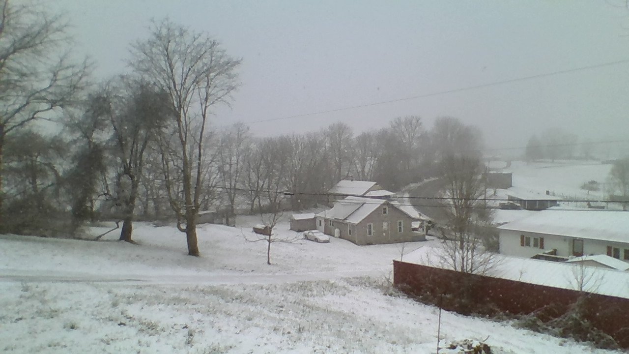
3/4ths of an inch on the ground on my measuring tile and roughly an inch or a little more on the grass at home. Since I'm using my low res chromebook camera to take shots taking measurement pics is nearly impossible without laying it in the snow.

-
3
-
-
School dismissed probably a quarter to half inch on the ground at ~1850ft in downtown Honaker.
-
2
-
-
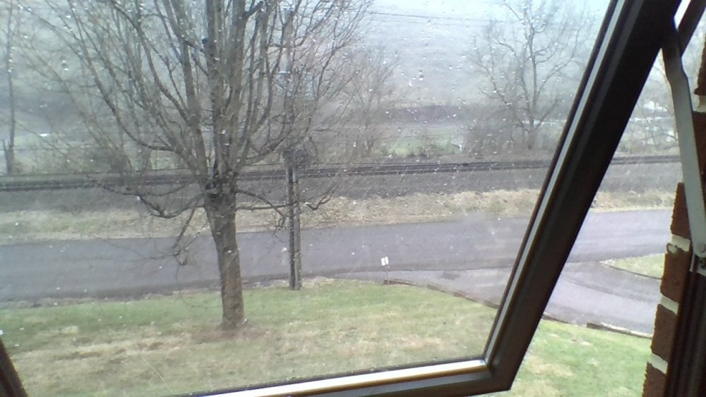
Image doesn't do it justice this was during a lull. Currently heavy snow falling. School is teetering on an early dismissal.
-
1
-
-
Hey, good news the snow panned out. Snow flakes the size of small cotton balls are falling without any mix. Accumulation is starting to occur.
-
2
-


Winter 2018-2019 Observations
in Tennessee Valley
Posted
Hey, it's something Kentucky! I really wish you guys could get a break. I REALLY hope the warm-up we get is transient.