HKY1894
-
Posts
190 -
Joined
-
Last visited
Content Type
Profiles
Blogs
Forums
American Weather
Media Demo
Store
Gallery
Everything posted by HKY1894
-
Mean Control run .
-
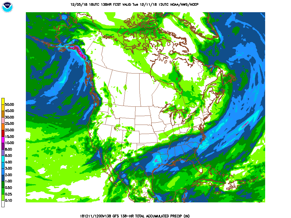
EPS and Euro is locked in boys and girls very similar eps QPF and snowfall mean compared to 00z actually 12z increased slightly .
-
Kuchera through 96 .
-
Euro appears to be a crush job for western NC more closely matches FV3 UK and CMC for sure .
-
.
-
The s/w is sharper and more negatively tilted than the FV3 at 72 hours. Just based off of 500mb look QPF shouldn’t be low here. .
-
To be fair in terms of QPF the fv3 more closely matches the ukmet and cmc on the 12z data The eps at 0z had 2 inches of QPF all the way into northern foothills. So at this time the consensus is for more QPF than gfs/nam that could change but as of now no trend .
-
To be .
-
The FV3 is night and day with QPF vs op gfs. Feel like this will be a good test. This year has trended more QPF in our bigger rain events during the fall so it fits the pattern .
-
12z FV3 has much more QPF the current gfs. Storm totals nearing 2 inches all the way to VA border more in line with other globals .
-
FV3 gfs ran fine on NCEP site. QPF looks pretty good
-
FV3 definitely didn’t go north at 18z can’t tell about QPF but it’s a good run looks like .
-
This is huge if it goes down like this, still not sure we're done with changes such a delicate setup with NS energy.
-
The 6z gefs mean QPF and snowfall means we’re both south of 0z also increased mean snowfall quite a bit .
-
this is big increase compared to 0z . QPF not gonna be a problem with this storm it appears
-
You’re much more knowledgeable than me, is there any storms similar to this at 500mb in the past? 2/04? .
-
.
-
So in a general sense we have old gfs FV3 and now euro hammering areas of NC with massive snowstorm essentially. .
-
Big big QPF slow mover and colder temps this run as grit said. Starts snowing at 126 and still going at 144 .
-
More accurate representation of FV3 snowfall. .
-
I think Lenoir Wilkesboro Boone and Jefferson are in line for huge winter storm .
-
The snow on the backside that the gfs and FV3 have at 00z would be higher ratio stuff than the overrunning part of the storm I would think too. Need euro to be colder than 12z was now .
-
Yep FV3 has be very consistent for at least 2 days .
-
ICON has been warm every run I’ve looked at .
-
.