

bubba hotep
-
Posts
2,665 -
Joined
-
Last visited
Content Type
Profiles
Blogs
Forums
American Weather
Media Demo
Store
Gallery
Posts posted by bubba hotep
-
-
3 hours ago, Quixotic1 said:
Towers going up. Not hopeful tjo

Things were very impressive looking this evening while out on my run. Was thinking that outflow boundary that was rolling in might fire a local storm but no such luck.
-
1 hour ago, Quixotic1 said:
Who said summer was boring?
well, it was probably me. But I snapped an image of a dust devil at the intersection near my home.

Awesome pic!
Maybe some rain in the future?
-
Starting to see some winter forecast here and there and they seem to jive with my thinking from a while ago. Avg to below avg temps and avg precipitation. The problem is that weak Nina with warm PDO equals not many true analogs. However, weak nina's in general are cooler than normal for Texas with '11-12 being the only weak Nina that was a true torch.
-
Is it just me or has this site really shifted to just being the Mid-Atl & NE sub forums? There are only a few posts each day in our sub and then Earl couldn't even muster up his own thread on the main page

-
Looks like the Dog Days of summer are fully setting in for the DFW area. Can't wait for that first cool front!
-
-
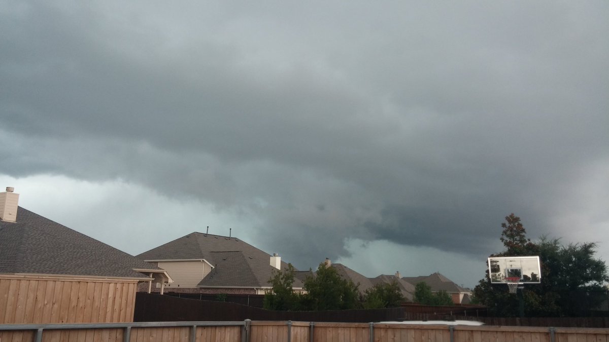
Cell from earlier that was off to the NW and eventually collapsed spitting out a nice outflow (missed getting the radar loop b/c was working in yard)
Then this was the first of several cells that have moved over and around during the past hour

-
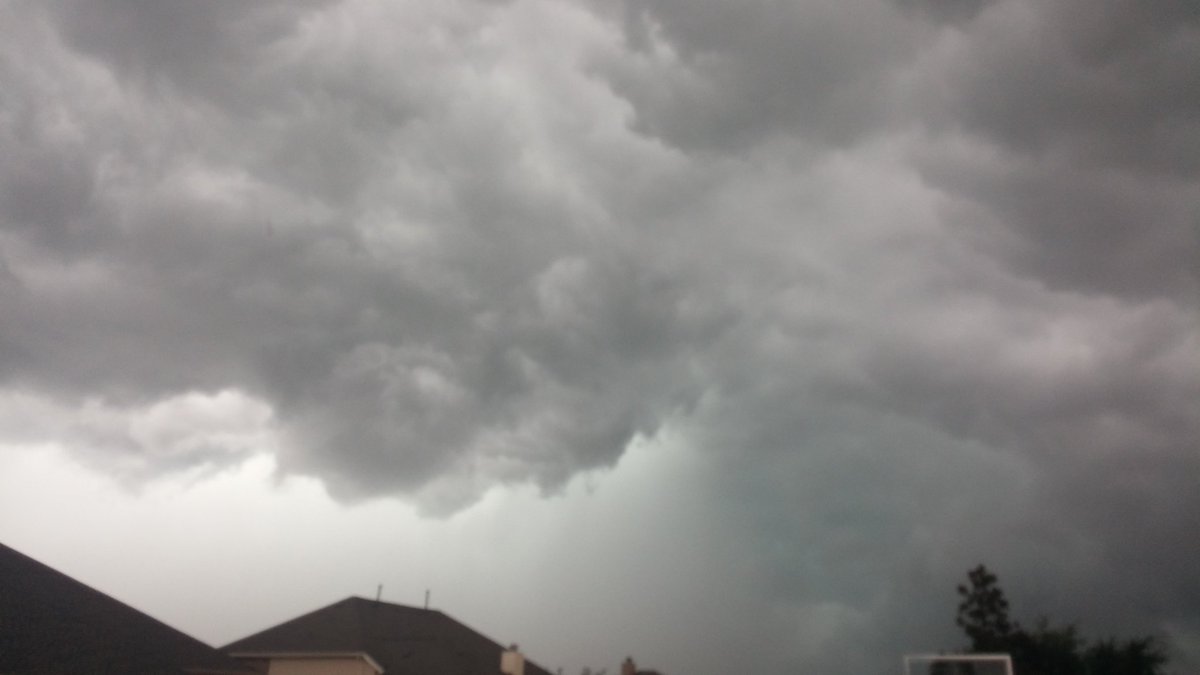
We picked up a direct hit with a real nice downpour.
-
Skies finally cleared, the temp started to rise and storms are starting to fire. Hopefully, the coverage will be pretty good this afternoon and I won't "be able" to mow the lawn
-
DFW ended up hitting 100 yesterday, making it 3 in a row, but rain chances should ramp up today keeping temps in check. Looks like no more 100s for the next 7 to 10 days and then climo starts working in our favor with that avg high declining beginning around mid-month. #Woo
-
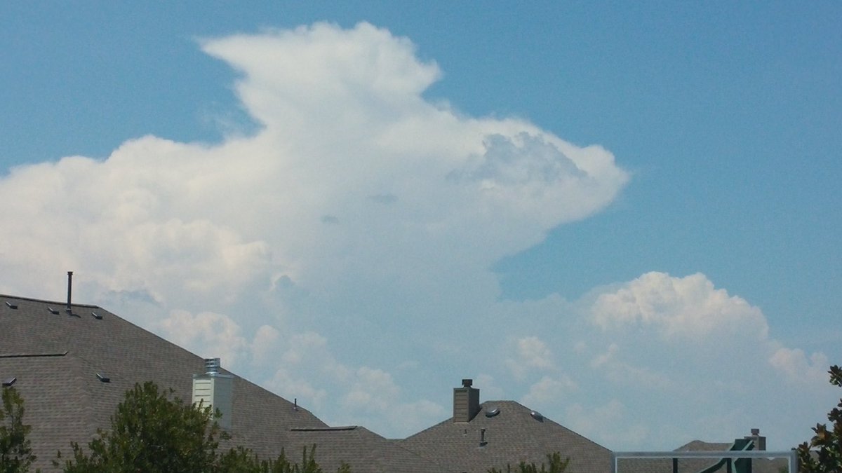
Caught a lone cell just off of I20 on the ride home this afternoon

-
Oh my.... the 12z Euro was glorious looking for most of Central and East Texas, lots and lots of rain over the next 10 days
-
13 hours ago, jm1220 said:
14 days 100+ so far in Austin this summer including today. We're way ahead of last year so far, and we finished with 25 days last summer.
That sounds horrible! It looks like DFW will be stuck on two 100 days for at least the next 7 to 10 days, esp. with chances of rain increasing.
-
Bringing the rain back with me!

-
DFW finally made 100 today, 23 days behind climo.
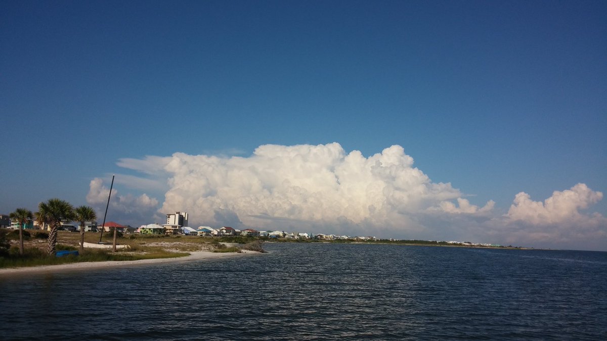
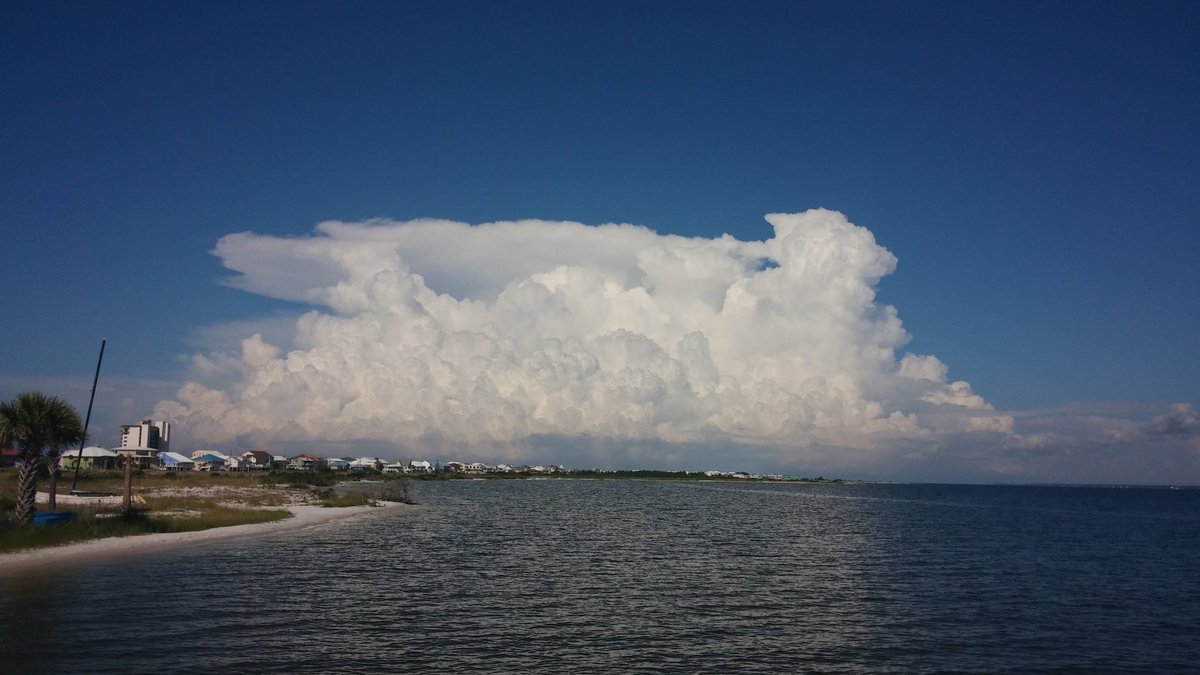
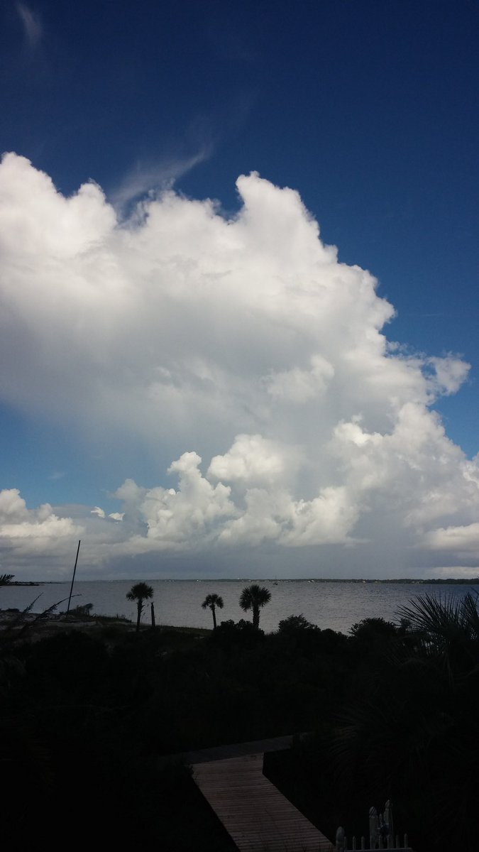
One last beach storm before heading back to Texas
-
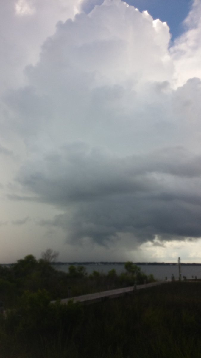
Storm up the beach this morning but it was moving away
-
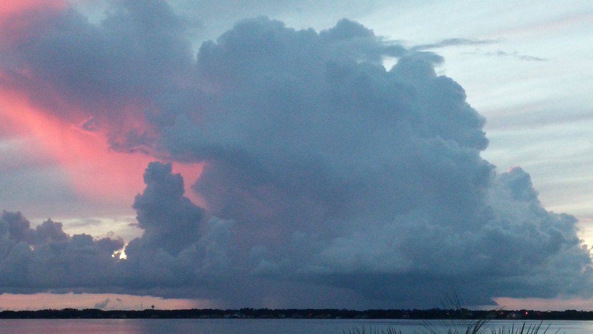
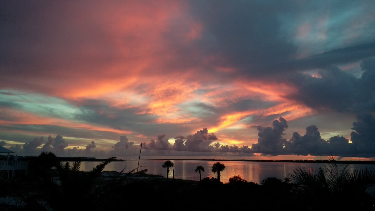
Evening storm resulted in nice sunset
-
Y'all hold it down in DFW! I'm at the beach looking for storms
-
It looks like the high today at DFW was 94. So what are several people on my Twitter feed showing? The heat index of 101 instead...
The analogs that I've been liking as of late have July as the warmest month of the summer, when looking at anomalies. They also look colder than normal for this winter.
-
The 12z Euro EPS now has DFW getting in the last week of July with no 100 degree days. It has a string of 99's towards the end of the run but has been too hot in the longer range. It was constantly showing a string of 100+ days but has backed off of that.
-
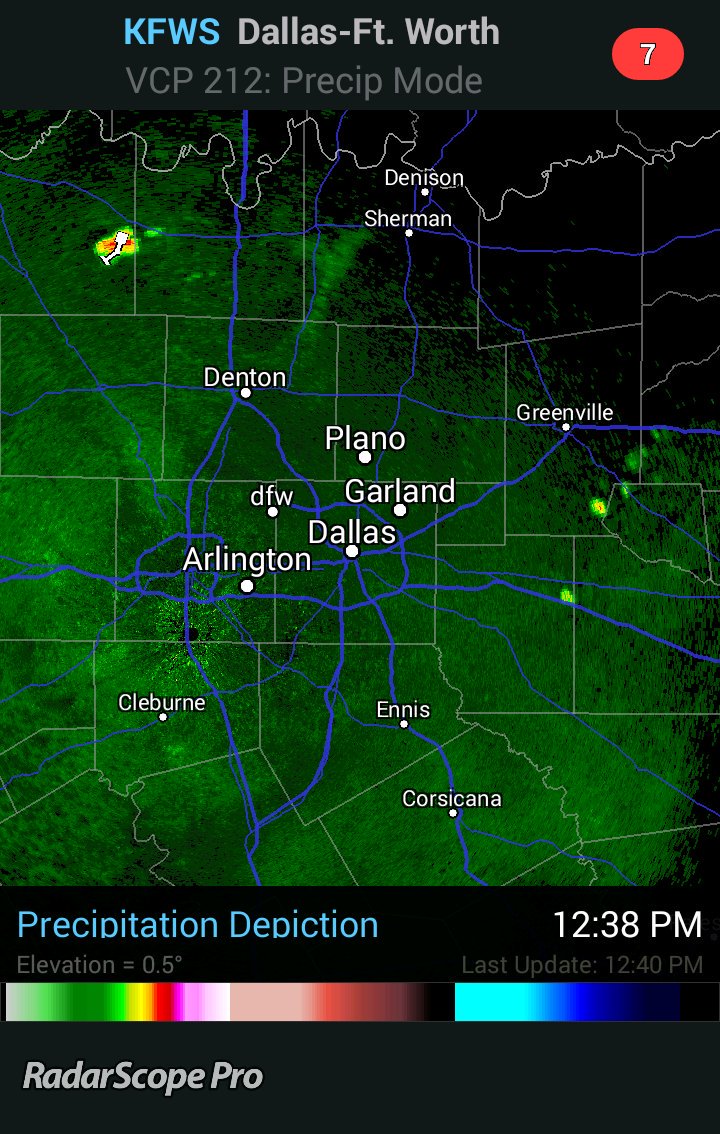
The eastward moving storms appear to have overtaken the outflow and are ramping up again. Also, maybe a meso/ wake low forming over Collin County?
-
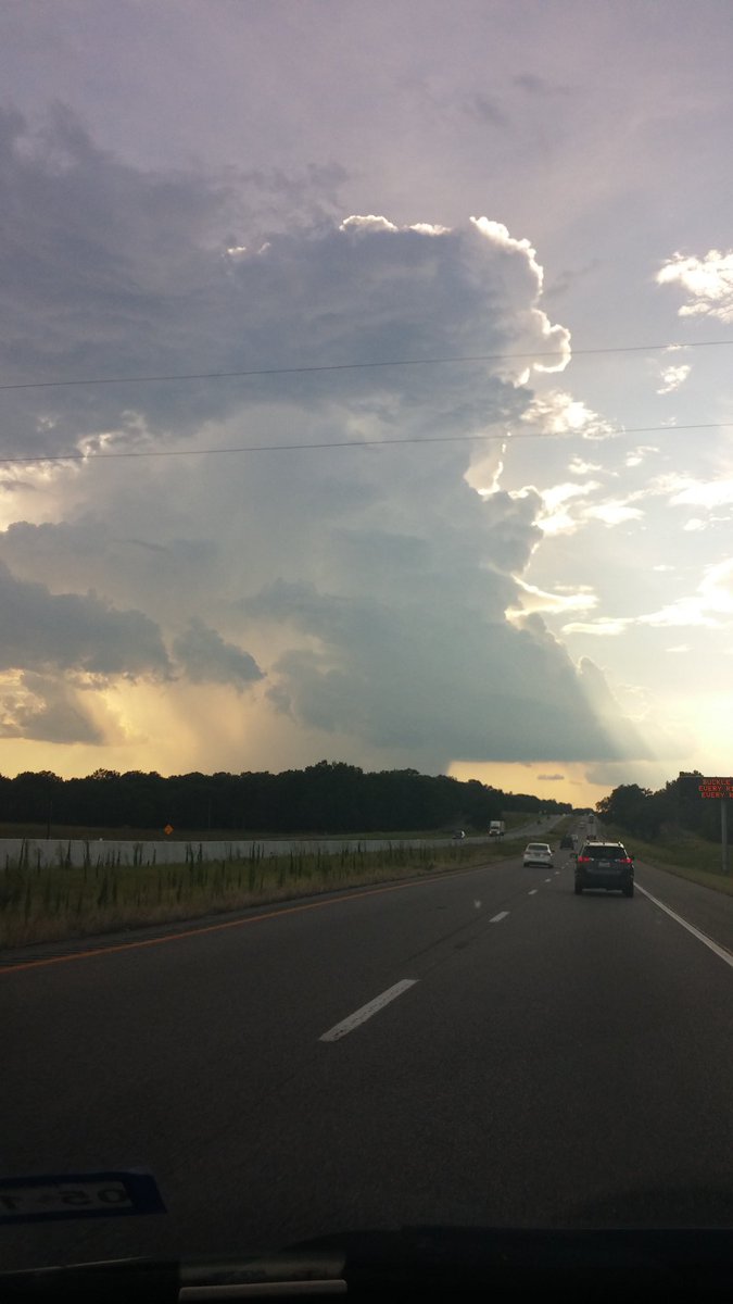
Couple of pics as storms rolled in
-
Also, some nearly ground scraping scud out this way
-
Svr TS warnings all over the place. Seeing damage reports from winds of 60+ mph in multiple locations.


Texas/New Mexico/Louisiana/Mexico Obs And Discussion Thread Part 8
in Central/Western States
Posted