Blue Ridge
-
Posts
1,598 -
Joined
-
Last visited
Content Type
Profiles
Blogs
Forums
American Weather
Media Demo
Store
Gallery
Everything posted by Blue Ridge
-

1/10-11 super awesome winter SE OBS thread
Blue Ridge replied to strongwxnc's topic in Southeastern States
Based on several mPing reports, returns currently entering southern Wake began as sleet in N Harnett and S Johnston. -
IMBY post: HRRR has been consistent in showing the sharp gradient running through my neck of S Wake. Will be interesting to watch unfold if nothing else.
-
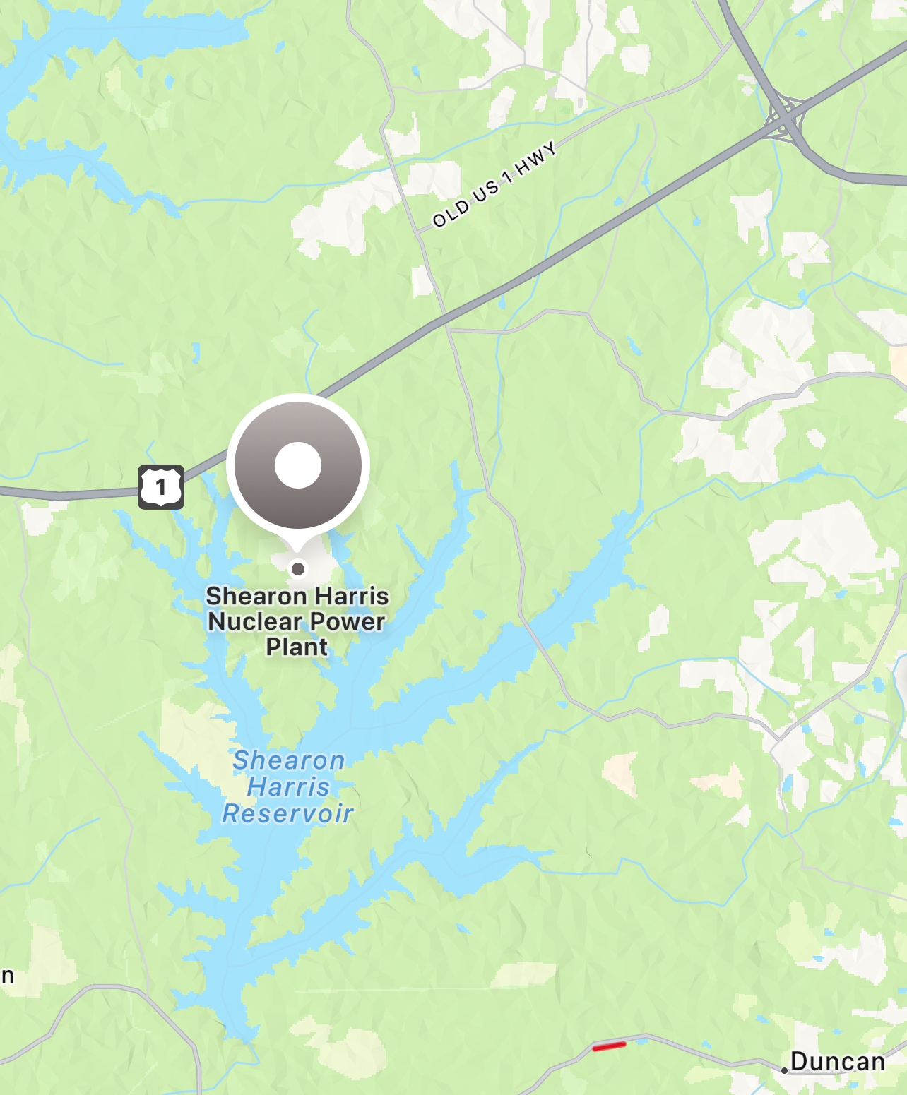
General rule of thumb: mixing/outright ZR is always on the table in Wake, especially south and East. Depending on track, US 1 and/or US 64 are good landmarks for this. edit: that said, even a full ZR storm won’t equate 1:1 to total QPF. Start with total QPF, cut in half, and that’s a reasonable “worst outcome” benchmark.
-
SRQ is still transmitting altimeter data, but nothing else. https://mesowest.utah.edu/cgi-bin/droman/meso_base_dyn.cgi?stn=KSRQ&unit=0&timetype=LOCAL
-
>110 MPH over Anna Maria and moving into Bradenton says you’re wrong
-
This one?
-
Considering he just said “oh I forgot about the mesovorts dude,” I’m going with “not much.”
-
The current jog west is really concerning for TLH (and even more concerning for the NHC truthers). I can’t tell if the center is actually doing a NNW jog, but the western eye wall most certainly has veered in that direction.
-
The Nate Silver approach to polling data (read the top lines; toss it in the averages) is practical for so many data sets.
-
Other than one or two degens betting the house on TPA >CAT 4 +10000 - but those who have been around a minute know to tune them out.
-
Interesting clip: https://x.com/wcyb_davidboyd/status/1691443672775061504?s=46&t=-jk574F48wGboFVZ_ROoOQ IIRC, this would line up close to the CC drop.
-
Sandhills and portions of the Triad broke the bust. Let’s see if the blob entering Chatham can hold it together and give greater Raleigh a show. .
-
Doozy of a training situation in Southern Wake this morning. Wild light show along with the heaviest rain since Ian.
-
Historic Christmas Cold & maybe snow?! Dec 23rd-30th
Blue Ridge replied to Wurbus's topic in Tennessee Valley
This is what happened during the 2015 cold snap. The coldest day IMBY (Erwin at the time) was 8° with ice crystals falling nearly all day. Unlike anything I’d seen before or have seen since. -
Historic Christmas Cold & maybe snow?! Dec 23rd-30th
Blue Ridge replied to Wurbus's topic in Tennessee Valley
Tapatalk double post, disregard -
0/10 composition and editing, but after watching at 8x speed I have no doubt this was it. I wish I’d saved radar data - this meso initially developed ahead (to the NE) of the line and just crawled along US 1 until merging with the line. This is from roughly when the merger was occurring; the warning came ~20 mins later.
-
I saw what appeared to be a rotating wall cloud from Holly Springs as that cell moved to my north (at least 20 minutes prior to the warning). Unfortunately I was juggling my kid and cloud watching, so the best I have is crappy video from my iPhone propped in the window.
-
RTP tornado was an EF-1
-
Per Durham EMS on Twitter, it’s a Pfizer facility on Shiloh Glenn Dr at the 40/540 cloverleaf. A few pictures of damage here.
-
Following I-540 for a couple of scans. Holy hell. That’s usually a parking lot by 4:45 or so.
-
It did the thing
-
This cell is giving it a go. Don’t think it will quite get there. Bears watching though.
-
If there’s a cell (or two) that will do the thing in the Triangle, it will likely be from this cluster west of Sanford.
-
New warning for Warren Co just north of Norlina