

ma blizzard
-
Posts
3,033 -
Joined
-
Last visited
Content Type
Profiles
Blogs
Forums
American Weather
Media Demo
Store
Gallery
Everything posted by ma blizzard
-
Significant Miller B Nor'easter Apr 3rd-4th OBS
ma blizzard replied to wxeyeNH's topic in New England
32.8/32, 1" of sleet -
Significant Miller B Nor'easter Apr 3rd-4th OBS
ma blizzard replied to wxeyeNH's topic in New England
wow more lightening and thunder -
Significant Miller B Nor'easter Apr 3rd-4th OBS
ma blizzard replied to wxeyeNH's topic in New England
34/33, PL+ 0.3" -
Significant Miller B Nor'easter Apr 3rd-4th OBS
ma blizzard replied to wxeyeNH's topic in New England
Def heard thunder! -
Significant Miller B Nor'easter Apr 3rd-4th OBS
ma blizzard replied to wxeyeNH's topic in New England
34.4/33, sleet -
Significant Miller B Nor'easter Apr 3rd-4th OBS
ma blizzard replied to wxeyeNH's topic in New England
36.6 / 34, flipped to mostly sleet under the heavier precip -
Significant Miller B Nor'easter Apr 3rd-4th OBS
ma blizzard replied to wxeyeNH's topic in New England
Impressive storms down your way! Noticed a lot of lightening -
Significant Miller B Nor'easter Apr 3rd-4th OBS
ma blizzard replied to wxeyeNH's topic in New England
38.4/35, mostly rain with some sleet mixing in -
Significant Miller B Nor'easter Apr 3rd-4th OBS
ma blizzard replied to wxeyeNH's topic in New England
I’ve noticed the same here past hour .. skies brightening up as the winds picked up If I had to guess its due to some lower level dry air being advected in -
Significant Miller B Nor'easter Apr 3rd-4th OBS
ma blizzard replied to wxeyeNH's topic in New England
From the NY Metro forum: Perhaps something we will have to worry about later?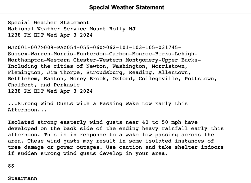
-
Significant Miller B Nor'easter watch, Apr 3rd-4th
ma blizzard replied to Typhoon Tip's topic in New England
Euro more amped than the HRRR thats for sure .. SLP over eastern LI at 12z tmrw Looks a bit slower moving too -
Significant Miller B Nor'easter watch, Apr 3rd-4th
ma blizzard replied to Typhoon Tip's topic in New England
I've noticed this too .. maybe 20-30 mi tick S/SE 16z HRRR quite aggressive flipping IP to SN down to rt2 initially and down to the pike as it exits -
Significant Miller B Nor'easter watch, Apr 3rd-4th
ma blizzard replied to Typhoon Tip's topic in New England
For marginal areas, you'd want the convection to really get going and get as organized as possible this afternoon .. would go a long way overnight to have a more uniform area of big lift as opposed to a more banded structure -
Significant Miller B Nor'easter watch, Apr 3rd-4th
ma blizzard replied to Typhoon Tip's topic in New England
39/34, ripping sleet -
Significant Miller B Nor'easter watch, Apr 3rd-4th
ma blizzard replied to Typhoon Tip's topic in New England
39.4/32, precip starting off as sleet -
Significant Miller B Nor'easter watch, Apr 3rd-4th
ma blizzard replied to Typhoon Tip's topic in New England
Yeah looks like it tries to flip to snow under good lift a couple times overnight even down to like KBED Not expecting much down here except for sleet -
Significant Miller B Nor'easter watch, Apr 3rd-4th
ma blizzard replied to Typhoon Tip's topic in New England
18z HRRR def not backing down on the sleet -
Significant Miller B Nor'easter watch, Apr 3rd-4th
ma blizzard replied to Typhoon Tip's topic in New England
I really think the sleet is being underplayed .. it could potentially end up being like 1"-1.5" of QPF as sleet between the Pike and SNH -
Significant Miller B Nor'easter watch, Apr 3rd-4th
ma blizzard replied to Typhoon Tip's topic in New England
One more tick south and you will join the sleet party .. congrats -
Significant Miller B Nor'easter watch, Apr 3rd-4th
ma blizzard replied to Typhoon Tip's topic in New England
ready for 2"-4" of sleet? -
Significant Miller B Nor'easter watch, Apr 3rd-4th
ma blizzard replied to Typhoon Tip's topic in New England
Canadian not backing down -
Significant Miller B Nor'easter watch, Apr 3rd-4th
ma blizzard replied to Typhoon Tip's topic in New England
from what I've seen warm nose peaks around 725-750 mb most guidance -
Significant Miller B Nor'easter watch, Apr 3rd-4th
ma blizzard replied to Typhoon Tip's topic in New England
It might be a tough pull, but we have a chance if any reliable guidance starts coming in like the CMC / RGEM -
Significant Miller B Nor'easter watch, Apr 3rd-4th
ma blizzard replied to Typhoon Tip's topic in New England
SNE getting crushed at 78h -
Significant Miller B Nor'easter watch, Apr 3rd-4th
ma blizzard replied to Typhoon Tip's topic in New England
2"-4" of sleet followed by 6"-10" of snow .. sign me up


