

UMB WX
-
Posts
1,791 -
Joined
-
Last visited
Content Type
Profiles
Blogs
Forums
American Weather
Media Demo
Store
Gallery
Posts posted by UMB WX
-
-
Pretty epic reading catching up on the last 18hrs of this thread. West side of the lake from mke south with 10-20" The main system snow outside of that epic area also delivered 10+ right up through Detroit Duster town.
-
 1
1
-
-
Buzzkill Euro.
-
 2
2
-
-
28 minutes ago, Hoosier said:
I'm having trouble buying that this would be a several inch snow here, like what the Canadian models are suggesting. It's not a bitterly cold antecedent airmass and that surface low is deepening pretty quickly and tracking overhead in a best case scenario or more likely northwest. Given the above, I don't know how we're going to escape boundary layer temp issues around here during the day on Thursday. The back side does look decent though for a burst of fairly intense conditions with the winds and snow.
We do have a wildcard. Its Feb now. MSF's (michsnowfreak) south east trend to storms has been money the last 3 winters.
Ride it.
-
1
-
-
Huge Euro run. Insert Alek's no whammies gif.
-
1
-
-
Congrats to all who were long overdue that scored. Sweeet!

-
12
-
 1
1
-
-
Nam rolling down on Beau in Paducah. Ok.
-
Nam still looks a good 6 hrs slower than GFS? Toss both them models along with the radar.
-
What could go wrong with that snow distribution map.
-
1
-
-
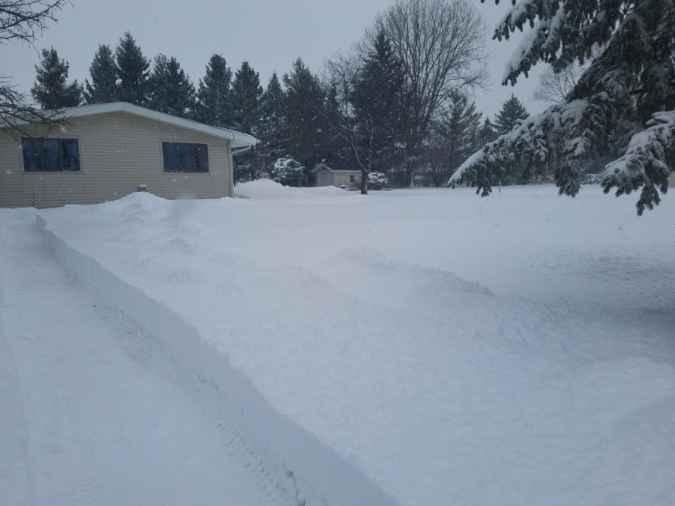
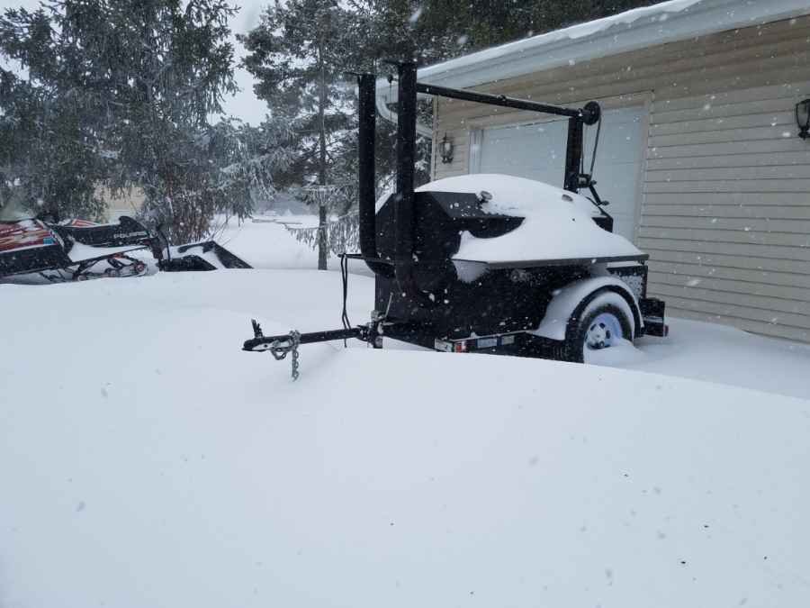
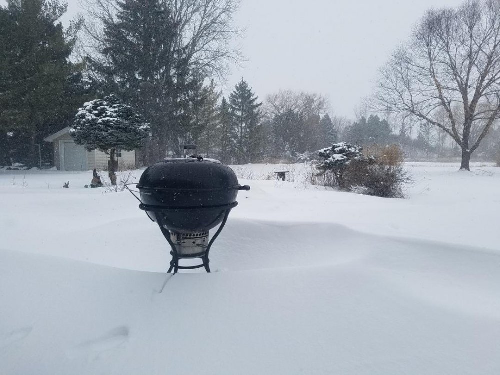
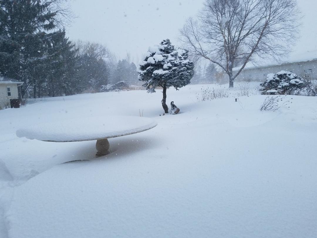
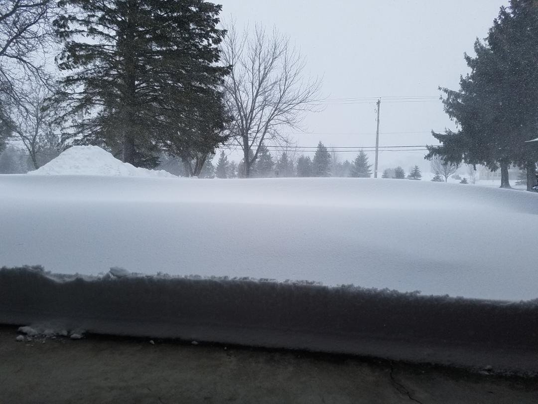
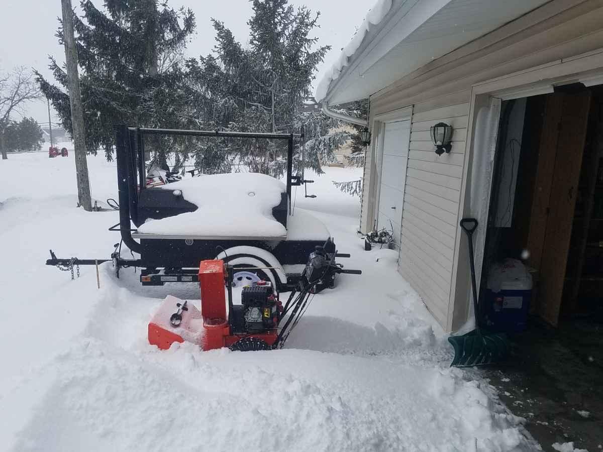
Impossible to measure snow event. Between 0 and 26" on driveway.


-
9
-
1
-
-
32 minutes ago, Chicago Storm said:
channeling your inner angrysummons here.
yes, everyone did know the storm was going to shear apart with eastward extent. i'm not sure there is anyone here that didn't believe that. however, the trend for the storm to end up further northwest in the plains due to additional ridging (in part) is not something that was originally modeled...and is part of why it is shearing out faster as it heads east.
please share your crystal ball next time.
Red flag when folks we're saying it was looking farther north/w at 42 hrs last night but it wasn't translating east..

-
15 minutes ago, Hoosier said:
Do the modeled Chicago crushers ever trend south at this distance (rhetorical question)
When the calendar hits Feb the last 4 yrs.
-
1
-
-
Just now, Malacka11 said:
Lowkey counting on it, it just has that vibe.
It sure does.
-
1
-
-
10 minutes ago, RobertSul said:
Wow, Chicago hasn’t had a 6” storm in over 2 years?
Lets see if they can get their 3rd 20"ish storm in 10 yrs.
-
1
-
1
-
-
22 minutes ago, ILSNOW said:
Nice snow desert for chicagoland on 18z NAM LOL!!!

Get it, StormFanaticInd and Kokomo.
-
1
-
-
9 minutes ago, ChiTownSnow said:
I like seeing MKE in the game while other models hint sound. Historically this bodes well for ORD and Lake enhancements set up
Yup.. Thankfully we have a cap on how far north snow can creep up. Gotta shed that se trend as we get closer to go time at some point. This storm might not be the best candidate to break that SE trend phenomenon with the elephant in the room to the north.
-
-
4 minutes ago, Hoosier said:
Here was the 12z Euro from January 29, 2015.

StormfanaticInd just reported you,
-
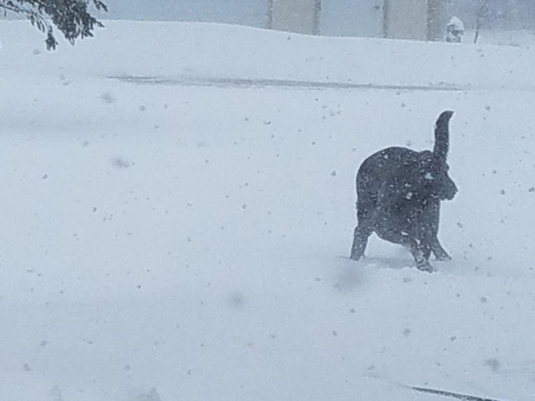
Cyclone will be knee deep in snowpack after this one

-
13 minutes ago, Malacka11 said:
Here's the game plan: by 12z tomorrow ish, the models will begin really nailing in the track, which is going to be slightly northwest of what the lastest Euro showed. After that, we can start bumping up the qpf every run, until the desired amount is achieved.
The good ole days of forecasting.
now

-
1
-
-
Just now, beavis1729 said:
RE: track, agree...but good reason to be disappointed on max amounts.
Euro from 36-48 hours ago was showing 20+" Kuchera in far SE WI/far NE IL...and now the max Euro Kuchera in IL/WI is 10-12". Of course the 20"+ may have been unrealistic to begin with...but kind of disappointing that the jackpot in IL/WI (wherever it ends up) has much lower amounts than before.
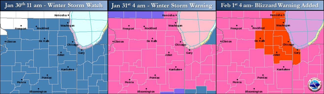
Its been a long struggle outside of February's in Detroit to pull off a bona fide winter storm warning between Chicago and Mke. We have the cold locked in. Lets hope we can hold off the inevitable transfer squash as long as possible and good things will happen in Illinois and Indiana.
-
8 minutes ago, StormfanaticInd said:
This storm has some similarities to the GHD storm

-
1
-
 1
1
-
-
14 minutes ago, ILSNOW said:
 '
'
Only possible positive I can pull for up here is the orientation of snow band on the weenie maps appears more of a curve to the NE instead of east west. Shrugs and probably not. the case. I can run with that until 0z euro shows Scooters Shit Streak still on the map.
-
Bringing the pitchforks at StormfanaticInd trying to steal snow
")
-
1
-
-
3 minutes ago, McHenrySnow said:
That's fresh coming from you, but I agree, there's no reason to continue attacking posters simply because you disagree with their thoughts.
C’mon man. That's a stretch

-
1
-

Fall/Winter 2020/21 Banter Thread
in Lakes/Ohio Valley
Posted
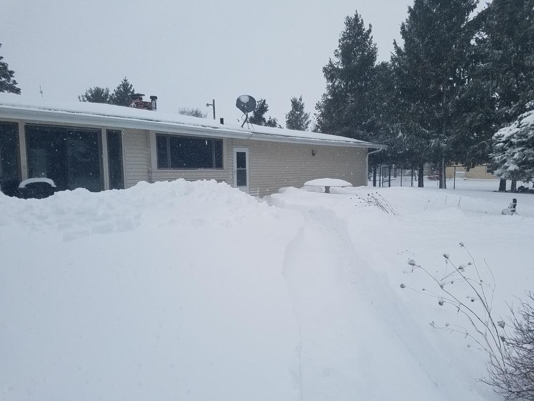
KMKX was at 0.6" of snow through December 29th. Fast forward to Feb 16th and they're up to *43.9" and 22" snow depth.
Chicago and Milwaukee have a pretty special winter climo when things are clicking even half ass.