eyewall
-
Posts
13,267 -
Joined
-
Last visited
Content Type
Profiles
Blogs
Forums
American Weather
Media Demo
Store
Gallery
Everything posted by eyewall
-
Well today is as close as it will come this winter to snow in Raleigh.
-
A day 10 snowstorm is about to verify as an inch of rain here tonight lol.
-
It is time to face the fact that it is going to be a long wait before many of us see snow. Probably next year after a hellish summer with extra bugs.
-
The 12z GFS is considerably weaker with the 7th system. With that said, more importantly is the overall pattern is still complete crap. The SE Ridge is not going anywhere except for quick relaxations here and there. It just isn't in the cards this year.
-
2nd or 3rd place may be in jeopardy
-
I have been trying to find a comprehensive list of past seasons but I know it has happened on multiple occasions.
-
I stand by my call that RDU zeros out this winter.
-
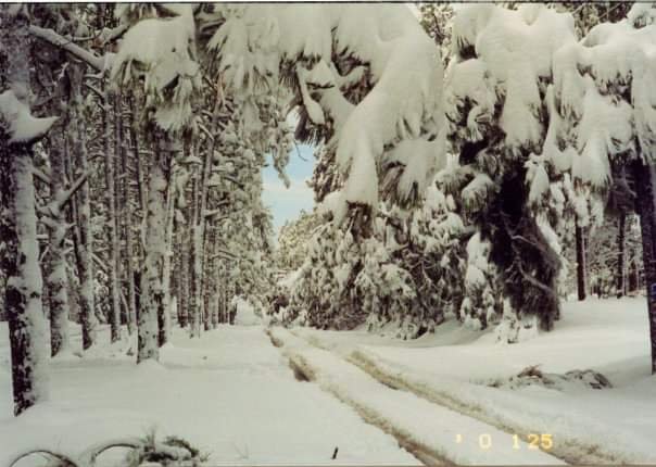
I took this 20 years ago on Midland Road in Southern Pines NC
-
Close only counts in horseshoes and hand grenades.
-
The pattern will flip in the spring when it is too late.
-
Yeah it is not even a real pattern change right now, just a temporary relaxation in the SE ridge. Climo time will be wiped clean soon enough.
-
And nobody wanted to take my word for it
-
Next winter can't be any worse than this one so why not look ahead?
-
Not jobwise but romance wise yes. There is no way she would like it there either.
-
Honestly our best reasonable hope would be the vort max late on the 20th but it looks to pass through dry for the most part.
-
60's on the 25th isn't exactly what I call ideal LOL.
-
I don't know how they stay in business down here to be honest.
-
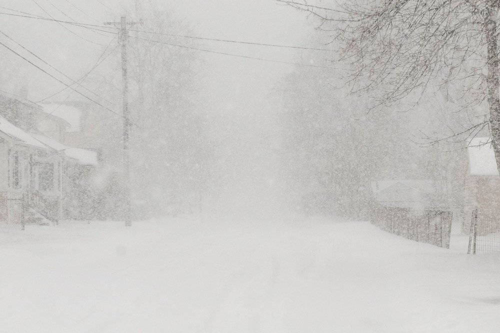
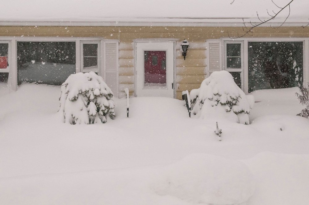
After spending five years in VT it is just painful being back in NC. I will never forget this 30 incher I witnessed up there:
-
I know I have been taking some heat for saying RDU may zero out this year, but there have been plenty of winters where they have only come in with a Trace.
-
Dandelions are starting to pop in Raleigh. Daffodils too.
-
It ain't happening folks. Maybe next year.
-
Please don't use tropical tidbits for snow maps.
-
We all need to take a trip here: https://forecast.weather.gov/MapClick.php?lat=45.37345000000005&lon=-121.69563#.XhjxxiNOnV8
-
This winter was dead on arrival.
-
The pattern will get good in April when we get days of 40's and rain