hardypalmguy
-
Posts
1,030 -
Joined
-
Last visited
Content Type
Profiles
Blogs
Forums
American Weather
Media Demo
Store
Gallery
Everything posted by hardypalmguy
-

2022 Short/Medium Range Severe Weather Discussion
hardypalmguy replied to Chicago Storm's topic in Lakes/Ohio Valley
WI is a severe weather graveyard. . -
we definitely skipped spring again this year.
-
59 here with a screaming wind off the lake.
-
Summer 2009 was el nino. That's not happening this year.
-
Another turd day of clouds and upper 40s in southern WI today. [emoji43][emoji94] .
-
Made it to 61 today under mostly cloudy skies. Thank goodness that rain crap stayed south. .
-
Spring 2022 Medium/Long Range Discussion
hardypalmguy replied to Chicago Storm's topic in Lakes/Ohio Valley
Northwest WI will be in the Lake Superior freezer belt. Same with eastern Wisconsin as the front stalls south of us. Wonder if it even makes it north Mon/Tues or if we get a 1 day wonder shot of heat on Thursday before back to craptastic spring. Monday through Thursday: An unusually impressive 588-591DM mid/upper level ridge will evolve across the area with an increase in warmth/higher dew points. While the mid level ridge builds we will have to keep a close eye on the lower levels as there are some indications a front will drop into the area towards mid week with some storm chances and alter the thermal field somewhat. The front, should it sag south of the area Wednesday, could then return on Thursday renewing the well above normal temps. At this time south central Wisconsin has the higher probs of seeing the 80 plus temps given the lake influence that could come into play to a greater extent in the east. -
Spring 2022 Medium/Long Range Discussion
hardypalmguy replied to Chicago Storm's topic in Lakes/Ohio Valley
At least I don’t Duluth specials like that until august. . -
Spring 2022 Medium/Long Range Discussion
hardypalmguy replied to Chicago Storm's topic in Lakes/Ohio Valley
We had that in March 2012. Two months later isn't anything special. -
Spring 2022 Medium/Long Range Discussion
hardypalmguy replied to Chicago Storm's topic in Lakes/Ohio Valley
It's not all ORD. Look north. The heat is squashed south. -
Spring 2022 Medium/Long Range Discussion
hardypalmguy replied to Chicago Storm's topic in Lakes/Ohio Valley
Latest models squash this thing before it even gets going. -
Latest model suite is really suppressing the heat next week. No more torch.
-
Spring 2022 Medium/Long Range Discussion
hardypalmguy replied to Chicago Storm's topic in Lakes/Ohio Valley
Guess it's time to plant some palm trees. -
Spring 2022 Medium/Long Range Discussion
hardypalmguy replied to Chicago Storm's topic in Lakes/Ohio Valley
needle palms are the way to go. -
Spring 2022 Medium/Long Range Discussion
hardypalmguy replied to Chicago Storm's topic in Lakes/Ohio Valley
South of the border, sure. -
This pattern has been garbage for last 60 days.
-
Spring 2022 Medium/Long Range Discussion
hardypalmguy replied to Chicago Storm's topic in Lakes/Ohio Valley
Don't get too excited. GFS is the light beer version of that at best. -
GFS is modest warmth at best and then shuts it down as quickly as it moves in.
-
More endless clouds and garbage weather. I swear May is now a cloudier month than November or December.
-
Rain and mid 40s forecast here Tuesday. [emoji2957] .
-
The endless spring hurricane winds. Makes every day miserable. .
-
Spring/Summer 2022 Complaint/Banter Hangout
hardypalmguy replied to IWXwx's topic in Lakes/Ohio Valley
More 40s and rain this week. Endless garbage. Not any signs of leafing out yet. . -
Spring/Summer 2022 Complaint/Banter Hangout
hardypalmguy replied to IWXwx's topic in Lakes/Ohio Valley
This is the truth. I see this year after year. And then the system passes and your 850s crash to zero but hit 60 because of west wind and sun. . -
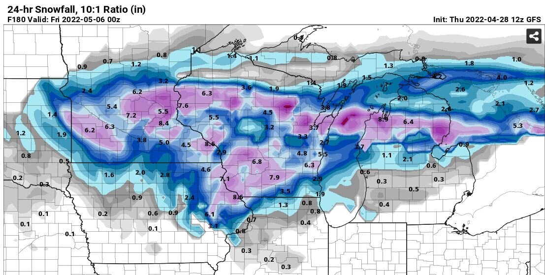
Here we go weenies. May will produce more snow than December did.

-
May 2022 temperature forecast contest
hardypalmguy replied to Roger Smith's topic in Weather Forecasting and Discussion
How are you seeing a ridge in the Great Lakes but NWS is showing a trough?