tuanis
-
Posts
763 -
Joined
-
Last visited
Content Type
Profiles
Blogs
Forums
American Weather
Media Demo
Store
Gallery
Everything posted by tuanis
-
It looks like things are finally starting to turn progressive. I was pretty nervous about a flash flood situation there for a bit. Hope it continues trending progressive.
-
Power’s flashing here, we had some good wind for awhile, but probably not over 40 mph or so. Still…

-
People were lined up outside the building when I passed by at 8:45 this morning and the line was still out the door when I walked by at lunch. My coworkers gave it a unanimous "meh".
-
Grand opening of Shaq’s Big Chicken in Rosemont with some lake enhanced boundary clouds in the background. No Shaq in sight unfortunately.

-
While it favors south, thinking we pull some decent rains out of this pattern, even up here. Fingers crossed.
-
Looks pretty overcast over much of Texas today too
-
2023 Short/Medium Range Severe Weather Discussion
tuanis replied to Chicago Storm's topic in Lakes/Ohio Valley
Solid boomers, nice CTG stuff to ooh and aah at. The humidity bump today was noticeable, felt good. -
Pea size hail, heavy heavy downpour, zero minimal wind
-
Blanket warnings for the Chicago metro. Velocity scans not showing much in the way of winds per the warning text. Definitely several pockets of hail, especially west of the Elgin area and north of Rockford. Edit: even getting the "giant hail" depiction per hydrometeor classification near Machesney Park (Rockford area). Let's keep that stuff away from here please.
-
This band means business up here. Quality stuff. Too bad this can’t last all night. Sorry to hear this one’s a dud again in the city and close burbs. Tight gradient.
-
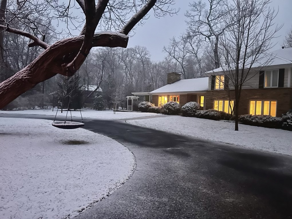
No accumulation til Route 22, dropped to 32 (per my car) near Route 60. Closing in on an inch at home. Starting to stick to pavement and coming down pretty good.

-
Leaving work in Rosemont. White rain, 37 degrees. Looks and sounds like rain on the windshield.
-
Iowa City Pentacrest webcam looking pretty legit: https://osc.uiowa.edu/pentacrest-webcam
-
Temps looking too warm (again) in NE IL. It'll probably come down decent but won't add up to much even with the overnight timing. Thinking Alek's 3" call busts high and we end up with an inch or two of slop even up here. Better accumulations north of the border maxing out around 5" in central/southern WI. Remember when models were overloaded with moisture and painting feet of snow with this one? Saturday overnight looks pretty marginal/craptastic as well. Oh well, at least it's been wet!
-
Let's keep talking about Dallas in a winter storm thread when Dallas is a solid 650 miles away from any winter weather related to the event.
-
I'd argue Chicago sees a wider variety of active/extreme weather than Dallas. Minneapolis not as much.
-
Last year Dallas recorded 21 consecutive days over 100 and a total of 47 days over 100 for the year. That's absolute garbage. Anyways, back to the impending event. I'm setting the expectation at 3 inches... and am certainly prepared to be disappointed (again).
-
:: rides the NAM into the sunset :: N IL will either suck cirrus or take it on the nose at this point... might as well go down with some hope.
-
It's a solid 90 mile shift west with the main axis, at least in Indiana. Still puts out some impressive totals.
-
18z HRRR quite a bit further north with the low and precip shield vs. 12z, taking it over Indy instead of the Ohio River. Good news for the south burbs. With a track and deep low like that, you'd expect a broader area of precip in the cold sector, but it's 2023.
-

-
If anything, the models often seem to diverge or flip-flop as the event nears. I don't remember that always being the case, but maybe we're remembering things wrong? Is it the pattern? The marginal temps so often this season? The ENSO situation? Model updates? We're less than 48 hours from what could be a pretty high-impact event and it's anyone's guess what will happen. I get low-confidence forecasting, but this is practically NO confidence forecasting.
-
You’re forgetting about 1/28-29. That was a pretty solid storm up here. This one looks sloppy and disappointing.
-
p solid rates despite a lousy looking radar
-
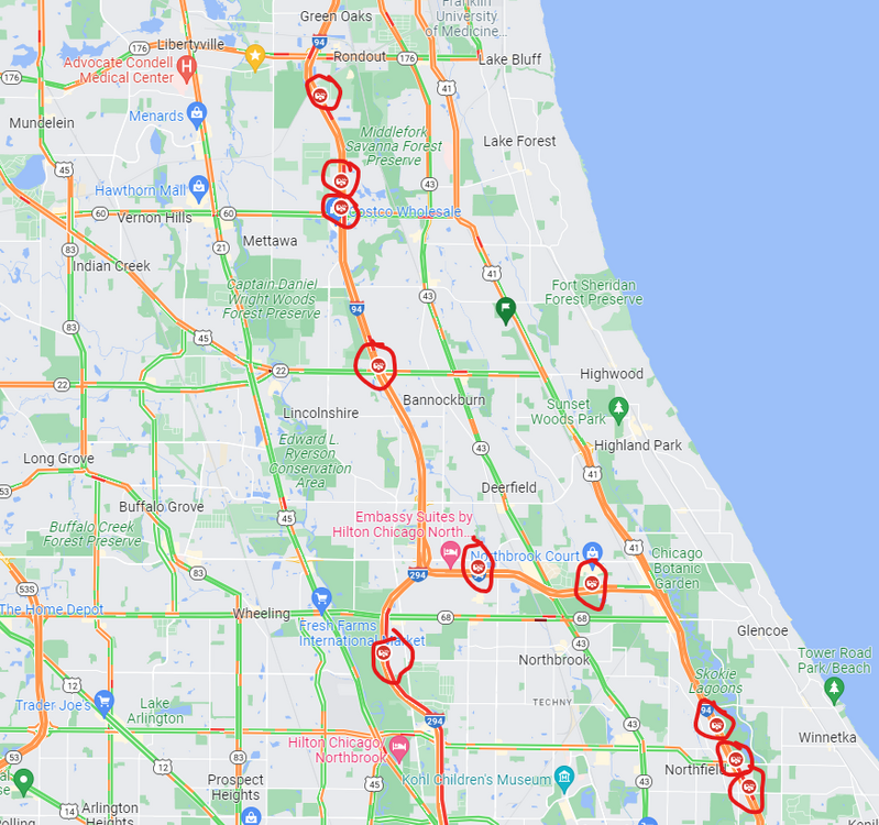
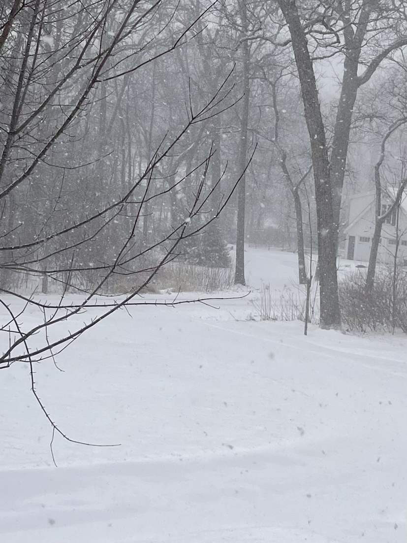
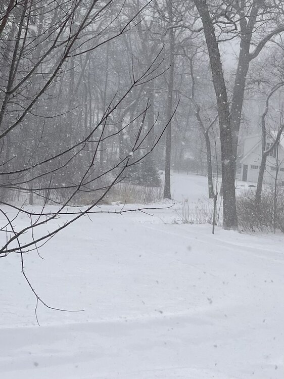
These past few bands have produced better than expected. Still mixy, but enough flakes and coming down at enough of a clip to continue accumulating. Grass is covered, closing in on 2 inches. If you take a look at Google Maps it looks like there are wrecks all over the place once you get north of O'Hare. Glad to have skipped the office today.