

WestMichigan
-
Posts
1,247 -
Joined
-
Last visited
Content Type
Profiles
Blogs
Forums
American Weather
Media Demo
Store
Gallery
Posts posted by WestMichigan
-
-
9 hours ago, RogueWaves said:
Were you expecting more out of this/them? LOL, I wish I had a headline.
I almost replied and told you to check again, but then I remembered you moved up north. How much do you have on the ground right now?
-
GRR out with you guessed it a winter weather advisory
-
 1
1
-
-
Last year's thread only made it to page 5 and here we are on page 6 and it is just the second week of January. Nice to see at least something happening in the Ohio area.
-
 3
3
-
-
What a difference a year makes
WEATHER ITEM OBSERVED TIME RECORD YEAR NORMAL DEPARTURE LAST VALUE (LST) VALUE VALUE FROM YEAR NORMAL ................................................................... TEMPERATURE (F) YESTERDAY MAXIMUM 28 3:43 PM 63 2008 32 -4 36 MINIMUM 21 12:35 AM -15 1988 20 1 30 AVERAGE 25 26 -1 33 PRECIPITATION (IN) YESTERDAY T 0.59 1907 0.08 -0.08 0.05 MONTH TO DATE 0.24 0.60 -0.36 0.06 SINCE DEC 1 3.32 3.08 0.24 1.95 SINCE JAN 1 0.24 0.60 -0.36 0.06 SNOWFALL (IN) YESTERDAY T 5.4 1962 0.7 -0.7 0.3 MONTH TO DATE 4.8 5.1 -0.3 0.3 SINCE DEC 1 24.5 25.9 -1.4 1.6 SINCE JUL 1 35.8 33.3 2.5 3.5 SNOW DEPTH 1 -
14 minutes ago, Powerball said:
Still far from a lock (especially with today's model trends), but...
.webp.7659a8a060b66dab8de7ed5efbce1438.webp)
I thought you didn't like snow or is this just a case of you liking to rub it in some people's faces?
-
11 minutes ago, michsnowfreak said:
Outside of whatever happens to our south with this weekends system, its just a terrible storm pattern for everyone. I guess I should be happy to see the lake flakes considering many folks in MN, WI, New England wont see anything. Looks like the next synoptic thing to watch will be next weekend with a clipper diving south. Periods of lake effect snow and clippers certainly cant be ruled out in the NW flow, in fact some disturbances will be likely, but they will be hard to pinpoint more than a few days out and all should be minor. REALLY need to a more active pattern after mid-Jan.
Kinda breaks the generalization of la ninas having more precip in Michigan.
-
1
-
 1
1
-
-
22 minutes ago, buckeye said:
well there's always that break the glass weenie rule: energy isn't on shore yet....let's see if better sampling changes things

Rooting for the Central OH crew. It has been a long time waiting for this. Only problem is my kids have to go back to college south of Springfield on Monday so it is kind of a hope it doesn't happen thing also. Might send them back a day earlier to avoid the storm.
-
Congrats to South Texas and Northern Mexico per the latest Euro about 10 days away. CAD and suppression is no way to run a winter.
-
 2
2
-
-
6 hours ago, HillsdaleMIWeather said:
Euro is pretty juicy

Waiting for the 50 miles north or 50 miles south and I am in the money posts.
-
2
-
-
12 hours ago, Stevo6899 said:
While it sucks, it's satisfying that even with rain storms in the winter, Detroit gets the dry slot. Western lower tho however would've been crushed if this was all snow.
I was commenting on that same thing about how great of a snowstorm this would have been to my family yesterday. Widespread 1"+ of rainfall yesterday would have made for a nice snowfall.
-
Made out pretty good around here.
-
2
-
-
45 minutes ago, Toro99 said:
They finally went with an advisory for their entire area, in the middle of the night, mid event. Classic
When the call was for around 2" and they had 2" by midnight they sort of had to do something. They tried the special weather statement first then went to the advisory. I have to think many areas in and around GRR are going to be in the 4" range this morning.
-
GRR with the medium-long range tease. I think we all know how this will end though.
We are looking at yet another system on Wednesday into Thursday that
could become interesting. We have another southern stream system
that will be lifting up to our south. At the same time, a northern
stream trough will be diving in across the Midwest. How these
systems interact with each other will dictate everything. If they
phase, we could be looking at a bigger storm. If they come in
separate, they will not be as impactful.
-
 1
1
-
-
1 hour ago, Stevo6899 said:
Come Monday, it'll all be gone and you'll join the rest of us with a bare brown ground. Sure lake effect is fun but system snow hits different.
Unfortunately you are correct.
-
2 hours ago, madwx said:
FYI - sunsets are already getting later
Still have to wait a few weeks for sunrises to follow
-
There are a few of us downwind of the Great Lakes enjoying this winter so far. I am over 20" for the winter after last night.
-
1
-
1
-
-
5 hours ago, Stevo6899 said:
Nothing bothers me more than pouring rain during one of our 3 main months of potential snow. Another slow start and most likely another weak December snow wise.
Definitely depends on where you live. The snow belt regions are doing OK. I understand inland it is a different story but I don't think anyone in Buffalo, Erie, or even Gaylord would say, "another weak December snow wise."
-
2
-
-
2 hours ago, Chinook said:
that's excellent. I think that's from ice clouds in the lower atmosphere, right? (no water droplets)
From space weather.com where they had a similar picture today - “Note the flared tops. That's what's unusual. Ordinary light pillars shoot straight into the sky with pointy tips. The V-shaped tops of these pillars are extremely rare.
The vast majority of light pillars are caused by ice crystals that look like tiny microscopic plates. However, ice crystals floating around the Rovaniemi airport were not little plates; instead, they were little pencils. Pencil-shaped ice crystals create the flare. To see the shape, common crystal plates must be absent. No one knows where they went! So there is an element of mystery, as well.”
-
2
-
 1
1
-
-
The last couple days salvaged the Fall snowfall for GRR.

-
1
-
-
6 hours ago, sbnwx85 said:
I’ll take the cold blast starting the weekend after Thanksgiving.
Depending on the wind either you or I should be able to take advantage of the lake assuming the cold materializes.
-
1
-
-
1 hour ago, A-L-E-K said:
euro with a tday major for many
I-80/90 and would be a total disaster if that happens.
-
2
-
-
15 hours ago, michsnowfreak said:
That's crazy. But yeah the lakeshore can do funky things. For instance, this Fall Detroits color peaked a good week or more before Traverse City well to the north.
I am in one of those microclimates also. 33.8°F is my lowest so far this fall while everywhere around me has been into the upper 20's so far.
-
3
-
-
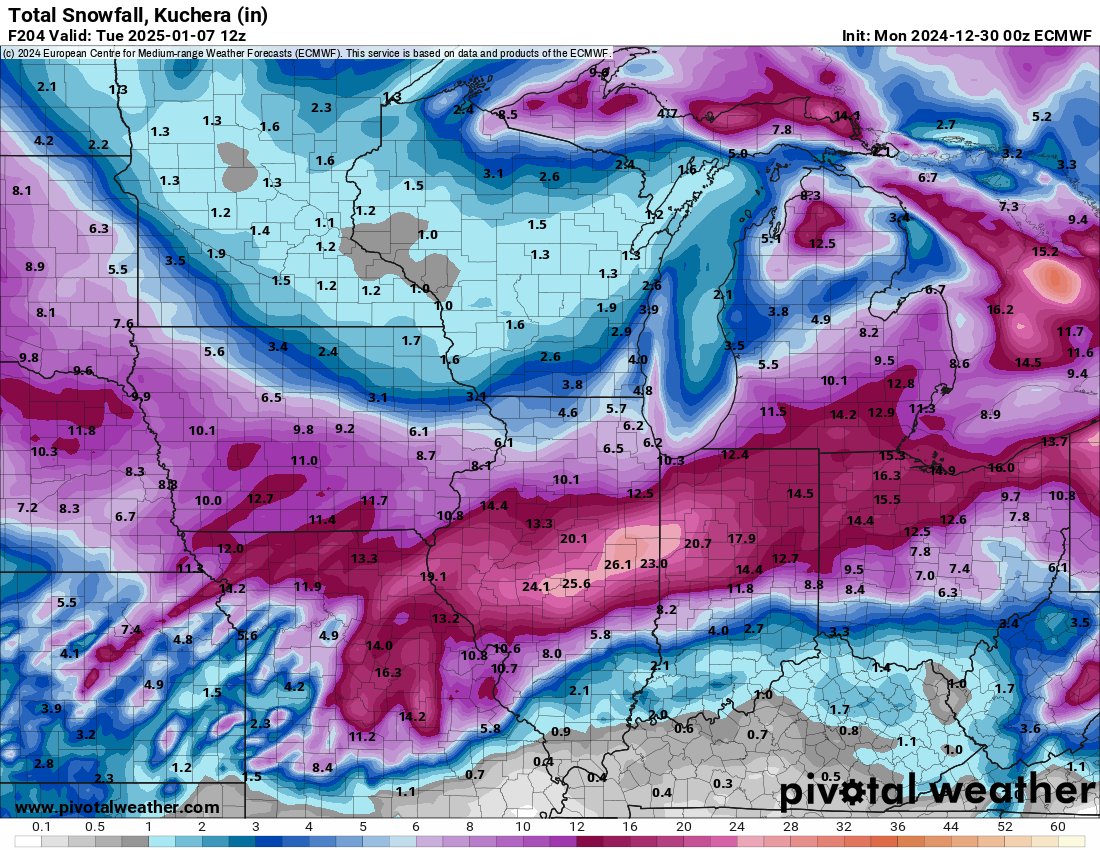
Pivotal Weather also has the ECMWF out to 360. Looks like everyone has picked up on the change.
-
1
-
-
On 11/2/2024 at 9:11 AM, Stebo said:
Desert of Ohio
I grew up there and still have several family members living there. It is crazy dry down there. Wells are running dry, smaller creeks have stopped flowing, the cracks in the hard clay ground are exactly what you would think of when you think of dry western scenes. Many trees basically didn't turn color, they just lost their leaves. I know of farmers that didn't bother harvesting corn because it would cost more to harvest than they would get out of it. They just turned it under and are hoping for crop insurance to help out until they can plant next spring. It is everything you would imagine severe drought would look like in an area that doesn't normally experience those conditions.
-
1
-
January 9-11th Snow Event
in Lakes/Ohio Valley
Posted
Tiny flakes over here. Been snowing since mid morning and not really accumulating much.