vwgrrc
-
Posts
434 -
Joined
-
Last visited
Content Type
Profiles
Blogs
Forums
American Weather
Media Demo
Store
Gallery
Everything posted by vwgrrc
-
DFW snow shield is no joke

-
I feel at least the timing (getting earlier) is a trend from the previous 4 runs unfortunately!
-
both 0z GFS and ICON are showing the Monday system to come & end quite a bit earlier than previous 4 runs. Now make that almost a Sunday event. Total snow amount also pulls back. This worries me a little
-
This
-
I personally don't see this actually. I mean my standard of major ice event would be Dec 2013. I'm not seeing that happen tonight at least for DFW. Thought?
-
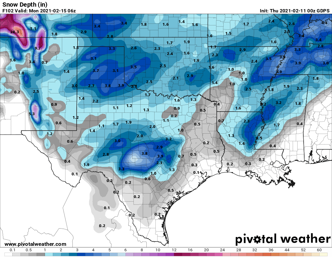
0z GFS and CMC are also showing a big snow day on the 15th. I wonder how the metro could screw this on up given it's still 5 days out
-
Same here in S Denton. I feel the model might underestimated the cold a little bit. I won't be too surprised if we end up with snow/ice Thursday morning.
-
True~ but I'm actually more interested in the frozen precip it shows Sun/Mon timeframe at this point
-
not an expert. but im seeing the back end of the snow still far into central tx?
-
interesting. i should be really close to you. still heavy snow.
-
it snows all the way north into OK. Seems like a model bust, in a good way
-
SE Denton close to Collin county snowing heavily. Starting to see accumulation on roof
-
SW Denton county started. Looks like NAM is better than HRRR on this!
-
Am i right this seems a little more aggressive than HRRR indicated? HRRR says all rain for Denton and Collin since last night. But we see a good area of now in both.
-
a good old cold rain event of course...
-
Texas/New Mexico/Louisiana/Mexico Obs And Discussion Thread Part 8
vwgrrc replied to wxmx's topic in Central/Western States
Thanks. But would that be a trustworthy solution at this point? 0z NAM seems showing virtually all snow for the metro. -
Texas/New Mexico/Louisiana/Mexico Obs And Discussion Thread Part 8
vwgrrc replied to wxmx's topic in Central/Western States
Anyone know if there's a reason that HRRR depicting more rain than snow for DFW in the last few runs? Hope that's not the case! -
Texas/New Mexico/Louisiana/Mexico Obs And Discussion Thread Part 8
vwgrrc replied to wxmx's topic in Central/Western States
RGEM is still your friend -
Texas/New Mexico/Louisiana/Mexico Obs And Discussion Thread Part 8
vwgrrc replied to wxmx's topic in Central/Western States
Both GFS and NAM 12z are showing the snow band skipping my area (Denton/Collin Ct). Not an expert here. But wish that's NOT the case for sure! -
Texas/New Mexico/Louisiana/Mexico Obs And Discussion Thread Part 8
vwgrrc replied to wxmx's topic in Central/Western States
Looks like it will be close. Precipitation ends around dusk right before the temp drop to freezing, of course -
Texas/New Mexico/Louisiana/Mexico Obs And Discussion Thread Part 8
vwgrrc replied to wxmx's topic in Central/Western States
12z GFS is showing that as well. Not exactly over DFW metro. -
Texas/New Mexico/Louisiana/Mexico Obs And Discussion Thread Part 8
vwgrrc replied to wxmx's topic in Central/Western States
0Z GFS agrees. Nothing significant tho -
Texas/New Mexico/Louisiana/Mexico Obs And Discussion Thread Part 8
vwgrrc replied to wxmx's topic in Central/Western States
It's possible. But I personally feel there's not enough moisture to work with the cold. Maybe this is too far to make that call still? -
Texas/New Mexico/Louisiana/Mexico Obs And Discussion Thread Part 8
vwgrrc replied to wxmx's topic in Central/Western States
Sounds like a fun winter with great potential down the road! -
Texas/New Mexico/Louisiana/Mexico Obs And Discussion Thread Part 8
vwgrrc replied to wxmx's topic in Central/Western States
It looks like the next weekend has some potential for NTX. But as always, the model runs are everywhere at this point.