Jump to content

Buffalo Bumble

Members
  • Posts

    1,613
  • Joined

  • Last visited

Everything posted by Buffalo Bumble

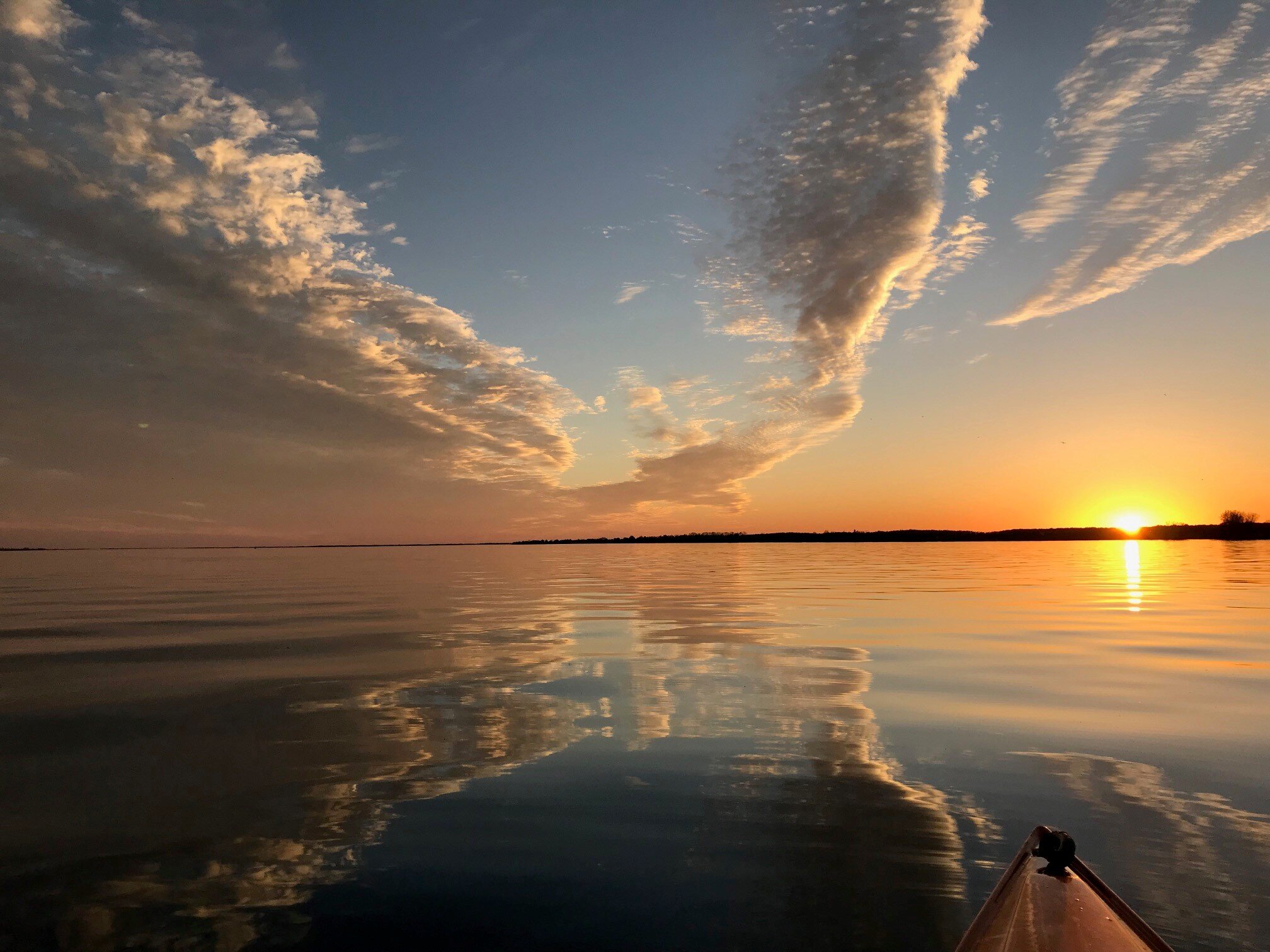
  1. I know it's day 9, but holy cow on that Euro op run today for next Wednesday. 966 mb low over central Michigan. I'm more interested in tracking sun than strong storms this time of year, but that could be a time to keep an eye on.
  2. Steve...hang in there man. I was thinking when I was at Wegmans yesterday that we’re expecting people like you in the grocery business to be on the front lines so to speak for the public good. You and people like you should be getting major compensation for what you’re doing. Thank you for doing such important work right now.
  3. Looks like all non-essential workers now being ordered by Cuomo to stay home. So a “soft” shelter in place mandate.
  4. I find this fascinating every winter. If we’re torching, just look 200 miles north to find deep winter. Very rare to see a cutter not head due east after it passes 100-200 miles north of our latitude, or just dissipate/transfer energy. Assuring the pack gets replenished or maintained up there. Same idea for UP of Michigan i guess. Latitude ensures deep pack every winter, regardless of above normal temps.
  5. Just saw a clarification that all Buffalo city schools closed thru Apr 20, not all Erie County schools (yet). But yeah, nuts.
  6. Darn, was just a matter of time I guess. Might see non-essential facility closures really start ramping up now in WNY. Also...a friend of my dad’s at a retirement community in Ft Meyer’s FL was infected and passed away today. Surreal...
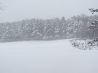
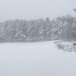
  7. Same here. Big old parachutes, accumulating nicely too. Where were these southward diving shortwaves when we needed them in Dec-Feb!!
  8. One last deep winter hike today, then bring on spring! Please no “warm” March followed by cold and wet April though. Hard pass on that.
  9. Good thinking. I'm also planning a hike/snowshoe at Erie County Forest (East Concord) on Friday. Looks promising for one of those ideal fluff bomb hikes (or skis) down in the hills on Friday.
  10. Yeah, after quickly checking the overnight runs was expecting some type of headline for NIag Frontier from BUF, but nada.
  11. Yeah, if we were in the bullseye right now it would be a lock to not verify.
  12. Lake effect potential looking good for Tug and hills south of BUF. Finally a longish duration cold/moist cyclonic flow, at least per modeling right now. That’s been impossible to get all winter as the cold shots have whiplashed through.
  13. At least it did us the honor of disappearing quickly. For that I thank it.
  14. Edit...this was back in the day when local forecasts from the likes of Wayne Mahar were divided between “north and south of the thruway”. As in, “6-12” likely north of the thruway, trace to an inch south of the thruway.” Accuracy has improved just a bit since then... Of course, growing up about 1 mile south of the thruway those forecasts were always devastating.
  15. Cato special. Brings back memories of growing up in Weedsport and driving about 3 miles north on Rt 34 to hit the snow.
  16. Yeah, thinking the same after breezing through the 12Z runs. Temps might actually come in around normal, but not seeing much in the way of snow chances either. Hoping the sun can make a regular appearance next week if nothing good to track. Too many gray and damp days this winter with temps within a few degrees of 40. Today is a nice exception.
  17. A handful of robins showed up today around my house, and a bunch of other birds are buzzing around. Looks and sounds like late March with all the bird activity. Maybe word is spreading in the avian community that the AO is off the charts positive and predicted to stay that way through February...
  18. I hope we get there, but gotta say the seasonal trend of fast flow, sheared storms zipping along fronts, and lack of wraparound snow worries me. I say that just from what we’ve seen for weeks on end, this storm I’m sure has more going for it. Although if I was just looking at the current radar and surface maps I wouldn’t be too excited for WNY... Pay no mind to me though, I was walking along the beach in Jupiter, FL this morning (business trip) with temps in low 80’s and full sun...I’m having a hard time processing the walk to a snow/ice covered car at the airport in a couple hours.
  19. Just a couple ops runs...but I'm liking the look of the ridge poking up to Alaska around the end of next week on the Canadian and GFS. Now THAT would be a pattern change...all these other modeled snow threats and shifts to cold IMO have been doomed as long as the polar vortex has been raging between Alaska and Greenland. If that modeled ridging holds into early next week, I'm keeping my snowshoes in my truck. If not, they're getting tossed into the balmy waters of Lake Erie and replaced with my golf clubs.
  20. All this talk to of New Zealand is so much more interesting than the current weather pattern. And you’ve got me thinking about planning a trip. Champy’s pics are incredible.
  21. Yeah, our best and most consistent snowpack was early to mid November. That was as anomalous as the warmth and lack of snow we’ve had since mid December.
  22. We need a rally...It looks like January at BUF will end up with very ugly winter stats. +8.2 degrees for the month to date with 11.2" of snow. Every day from now until the end of the month should be above normal. Maybe not warm enough to push the departure up to double digits, but at least +5 for the month seems like a lock. If we squeeze out a few inches of wet slop this weekend we still won't end up close to the normal 25" of snow for the month. I don't know what happened...I thought we were guaranteed to have a colder than average winter because it snowed in southern Siberia in October... .LONG TERM /MONDAY THROUGH WEDNESDAY/... Looks quiet once this system departs on Monday. Even though we are entering into when we should be a climatological min for temps, we will be far from it for this week as strongly positive Eastern Pacific Oscillation (EPO) teleconnection pattern favors strong jet pushing into western North America off the eastern Pacific which keeps coldest air bottled up well to the north, across even northern Canada. Weak little shortwave may bring some isold rain and snow showers or sprinkles/flurries Tuesday, but looks dry otherwise in a non eventful zonal flow. Yet another warmer system in the southern stream lifting along the northeast coast late in the week will bring the next chance of precipitation to the region.
  23. Oh yeah, Nordic. At Lake Placid Club, nice trails with views of high peaks.
×
×
  • Create New...