Buffalo Bumble
-
Posts
1,613 -
Joined
-
Last visited
Content Type
Profiles
Blogs
Forums
American Weather
Media Demo
Store
Gallery
Everything posted by Buffalo Bumble
-
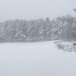
Major LES Events- Feb 5-?
Buffalo Bumble replied to BuffaloWeather's topic in Upstate New York/Pennsylvania
Late for this but been meaning to jot down some post-event thoughts on the WNY lake effect storm last weekend. We spend so much time looking ahead sometimes I like to hit rewind... * Models started showing a sizable event at least 5 days in advance. It held...so good to know that model dreams sometimes do come true. * The idea for several days leading to the event was for a predominant SW/WSW flow event off Erie. That changed to more of a WSW event the day or so before, causing widespread panic for the northtowns crew. * One thing on modeling that didn’t change was fairly deep low pressure over Lake Superior that either held it’s ground or moved slowly N/NE. This is a classic position for BUF and points north lake effect post arctic cold FROPA. It ultimately played out that way and BUF points north were “banded” for 8+ hours. *. Patience is key in lake effect events but it’s hard...Lots of bust posts on Saturday morning from the immediate BUF crew when the event was really just starting. * Strong winds limiting accumulations is real. As good as the event was the snow came in pulses, switching from blinding 3”+/hour to an inch or less per several times. This kept accumulations in check but did provide the “wow” factor when vis dropped to zero (as so nicely documented by BUF Weather. * 3-4”/ hour snow is a thing of beauty...duh. Memorable event for the BUF northtowns! -
Upstate/Eastern New York
Buffalo Bumble replied to BuffaloWeather's topic in Upstate New York/Pennsylvania
Volney is a great spot (in-laws lived in Fulton up to a couple years ago). But...having spent a lot of time over 20 winters in that area you have to temper snow expectations. Very much boom/bust. When it hits it hits in a big way. Best events in my life have been a few 4”+/hour long duration storms in Fulton (north side of town). 30-50” totals, no problem. But winds have to line up perfect on the WNW vector. And no help from elevation. So you’re still subject to some relative ratters there. Unlike a place like Springville that gets hit from multiple wind flows and gets a nice boost from elevation. -
Upstate/Eastern New York
Buffalo Bumble replied to BuffaloWeather's topic in Upstate New York/Pennsylvania
Snow begets snow -
Upstate/Eastern New York
Buffalo Bumble replied to BuffaloWeather's topic in Upstate New York/Pennsylvania
Nice burst of moderate snow here this morning. Radar looks solid for a couple hours. -
Major LES Events- Feb 5-?
Buffalo Bumble replied to BuffaloWeather's topic in Upstate New York/Pennsylvania
Amazing videos Rich!! You captured the worst, I mean best, of it perfectly. Well done! Glad the northtowns produced a chase-worthy event. -
Major LES Events- Feb 5-?
Buffalo Bumble replied to BuffaloWeather's topic in Upstate New York/Pennsylvania
That spot has been “in the yellow” for hours. Might crack the 20” mark in that area. -
Major LES Events- Feb 5-?
Buffalo Bumble replied to BuffaloWeather's topic in Upstate New York/Pennsylvania
Heavy snow here again -
Major LES Events- Feb 5-?
Buffalo Bumble replied to BuffaloWeather's topic in Upstate New York/Pennsylvania
On the edge of my seat in anticipation... -
Major LES Events- Feb 5-?
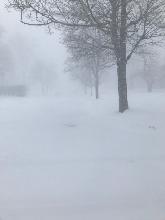
Buffalo Bumble replied to BuffaloWeather's topic in Upstate New York/Pennsylvania
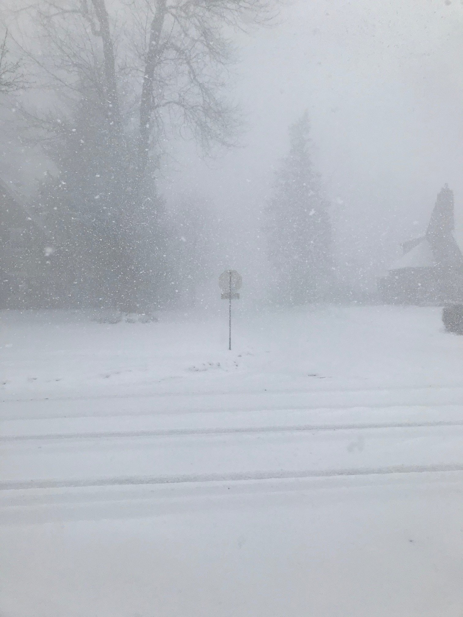
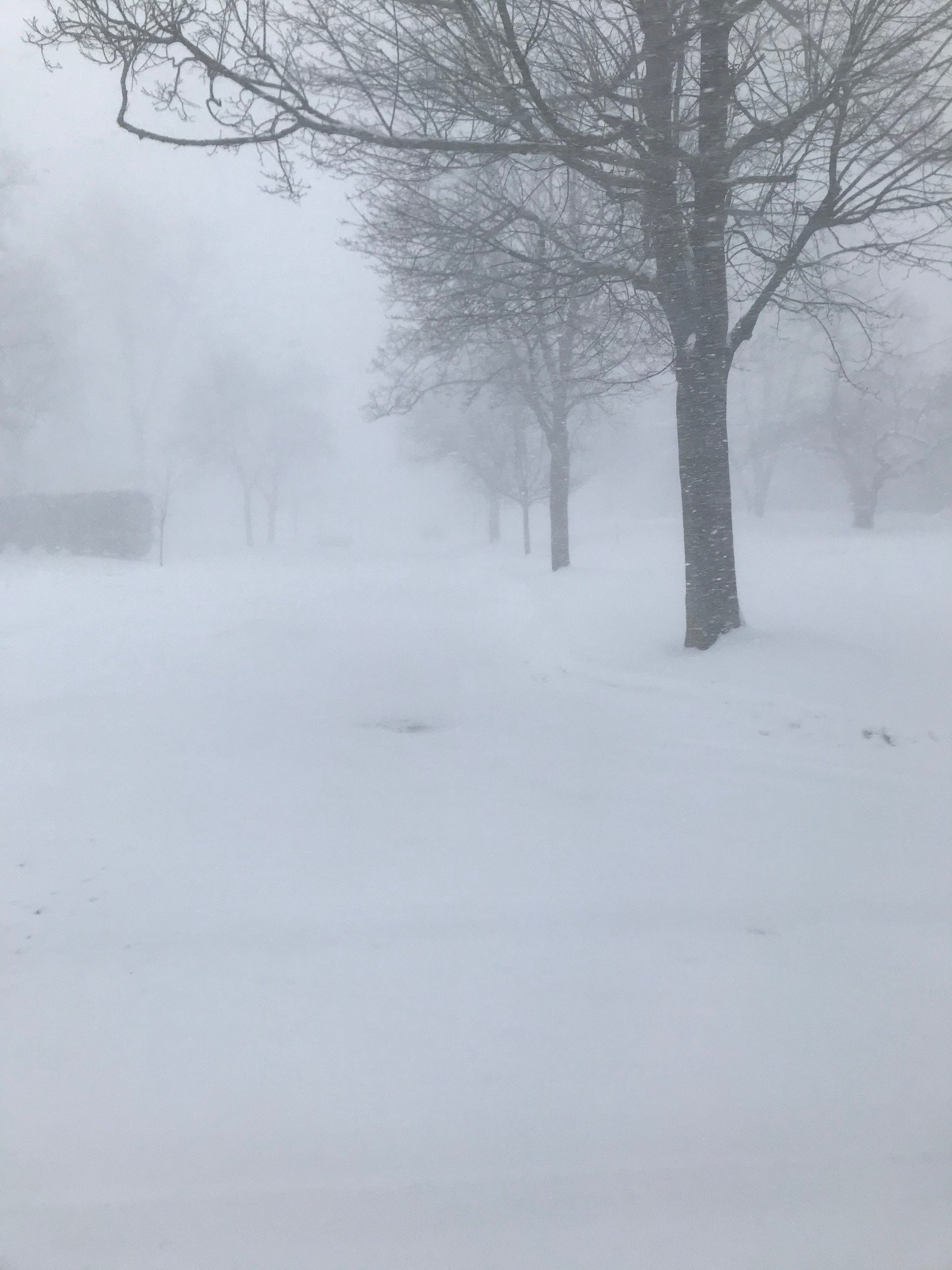
Couple pics from the neighborhood during some of the heavier snow this morning.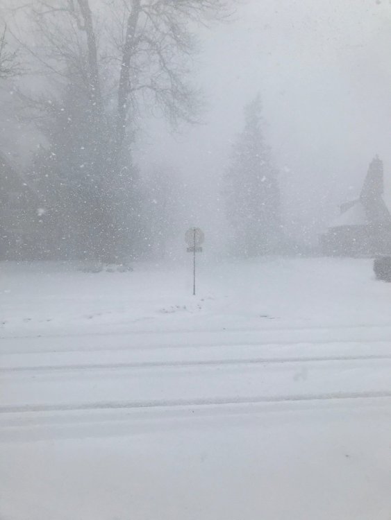
-
Major LES Events- Feb 5-?
Buffalo Bumble replied to BuffaloWeather's topic in Upstate New York/Pennsylvania
Flipping between light and heavy snow here for last 45 min. Getting tough to measure with wind but estimating 6” new since this morning. About 8” storm total. -
Major LES Events- Feb 5-?
Buffalo Bumble replied to BuffaloWeather's topic in Upstate New York/Pennsylvania
Yes, I’m about 400 yards from Smallwood elementary on corner of Burroughs and N Burbank. You’re right, same heading as you for lake effect. Been holding steady here at about 2” per. -
Major LES Events- Feb 5-?
Buffalo Bumble replied to BuffaloWeather's topic in Upstate New York/Pennsylvania
Well then...About 45 minutes ago radar showed heavy returns JUST to my south. So I did a little foot chase down Burroughs Dr to Main St (about 3/4 mile from my house to Main). Left house with a nice gentle 1”/hr snowfall. Rate nicely increased to about 2”/hour when I made it to Main St. Then it got real fun...Wind picked up and rate doubled. I would compare it to being caught in a torrential downpour. Just an absolute wall of white. I walked by a house with people in the garage and heard someone say “is that a person out there?” Just arrived back home to about 3”/hour here. Sweetness. -
Major LES Events- Feb 5-?
Buffalo Bumble replied to BuffaloWeather's topic in Upstate New York/Pennsylvania
Yeah, just on the north edge of the band here right now. Face west, look right, light sky. Face west, look left, dark sky! Steady snow though. -
Major LES Events- Feb 5-?
Buffalo Bumble replied to BuffaloWeather's topic in Upstate New York/Pennsylvania
Walden Ave exit on the 90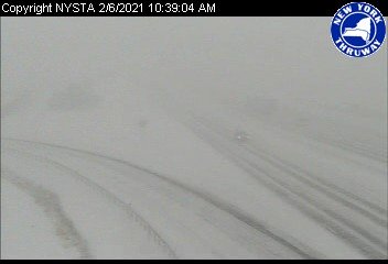
-
Major LES Events- Feb 5-?
Buffalo Bumble replied to BuffaloWeather's topic in Upstate New York/Pennsylvania
Nice! She looks quite healthy right now. -
Major LES Events- Feb 5-?
Buffalo Bumble replied to BuffaloWeather's topic in Upstate New York/Pennsylvania
Yep! Big patch of blue sky overhead with snow still falling. -
Major LES Events- Feb 5-?
Buffalo Bumble replied to BuffaloWeather's topic in Upstate New York/Pennsylvania
About 2” here overnight, fresh inch in last 30 minutes. Fantastic morning with giant flakes pouring down and barely any wind. -
Major LES Events- Feb 5-?
Buffalo Bumble replied to BuffaloWeather's topic in Upstate New York/Pennsylvania
Right! Long fetch Lake Erie bands rock (even if they don’t like to last very long). -
Major LES Events- Feb 5-?
Buffalo Bumble replied to BuffaloWeather's topic in Upstate New York/Pennsylvania
15 minutes in on another wicked “pulse”. Heaviest snow of the season IMBY. Tough to see across the street stuff. Great flake size too. -
Major LES Events- Feb 5-?
Buffalo Bumble replied to BuffaloWeather's topic in Upstate New York/Pennsylvania
Pounding here now -
Upstate/Eastern New York
Buffalo Bumble replied to BuffaloWeather's topic in Upstate New York/Pennsylvania
Hopefully the Euro follows suit. Odd evolution on 12Z with a storm sitting in place over the northern Rockies for like 72 hours. But yeah, the coveted triple lake connection made an appearance next weekend on the last few GFS runs. -
Major LES Events- Feb 5-?
Buffalo Bumble replied to BuffaloWeather's topic in Upstate New York/Pennsylvania
Snow starting to pick up here as the northeast end of the lake is filling in. Wind really just started to crank too, maybe the “edge of band” wind effect that’s common. I’m guessing I’ll see cellular bursts for a while so don’t expect it to pile up too quickly. -
Major LES Events- Feb 5-?
Buffalo Bumble replied to BuffaloWeather's topic in Upstate New York/Pennsylvania
Looks good on Grand Island at the moment. Pretty dark returns there. Seems to be ripping on webcams, tough to tell for sure in the dark though. Hoping for a slowwwww crawl south so everyone gets a decent hit. -
Major LES Events- Feb 5-?
Buffalo Bumble replied to BuffaloWeather's topic in Upstate New York/Pennsylvania
Interesting model battle there for next weekend. Like you said, GFS drops the PV on us while Euro has it about 1,500 miles northwest over the Canadian archipelago while we mild up a bit. Let’s see which way Euro goes at 12z. Such a huge difference at that lead time though is pretty remarkable. -
Major LES Events- Feb 5-?
Buffalo Bumble replied to BuffaloWeather's topic in Upstate New York/Pennsylvania
Snow is already firing in Michigan off the lake and looks quite robust. Good sign for whoever scores in WNY.